
Maps and diagrams showing present conditions New York and its environs March 1923
([New York] : Plan of New York and Its Environs, 1923.)
|
||

 Click here and hold to drag menu around
|


|
|
|
|
| Page 18 |
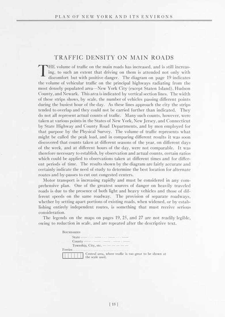
PLAN OF NEW YORK AND ITS ENVIRONS TRAFFIC DENSITY ON MAIN ROADS THE volume of traffic on the main roads has increased, and is still increas¬ ing, to such an extent that driving on them is attended not only with discomfort but with positive danger. The diagram on page 19 indicates the volume of vehicular traffic on the principal highways radiating from the most densely populated area—New York City (except Staten Island), Hudson County, and Newark. This area is indicated by vertical section lines. The width of these strips shows, by scale, the number of vehicles passing different points during the busiest hour of the day. As these lines approach the city the strips tended to overlap and they could not be carried further than indicated. They do not all represent actual counts of traffic. Many such counts, however, were taken at various points in the States of New York, New Jersey, and Connecticut by State Highway and County Road Departments, and by men employed for that purpose by the Physical Survey. The volume of traffic represents what might be called the peak load, and in comparing different results it was soon discovered that counts taken at different seasons of the year, on different days of the week, and at different hours of the day, were not comparable. It was therefore necessary to establish, by observation and actual counts, certain ratios which could be applied to observations taken at different times and for differ¬ ent periods of time. The results shown by the diagram are fairly accurate and certainly indicate the need of study to determine the best location for alternate routes and by-passes to cut out congested centers. Motor transport is increasing rapidly and must be considered in any com¬ prehensive plan. One of the greatest sources of danger on heavily traveled roads is due to the presence of both light and heavy vehicles and those of dif¬ ferent speeds on the same roadway. The provision of separate roadways, whether by setting apart portions of existing roads, when widened, or by estab¬ lishing entirely independent routes, is something that must receive serious consideration. The legends on the maps on pages 19, 25, and 27 are not readily legible, owing to reduction in scale, and are repeated after the descriptive text. Boundaries Township, City, etc.----------------------- Ferries.................................. Central area, where traffic is too great to be shown at the scale used. 18 |
| Page 18 |