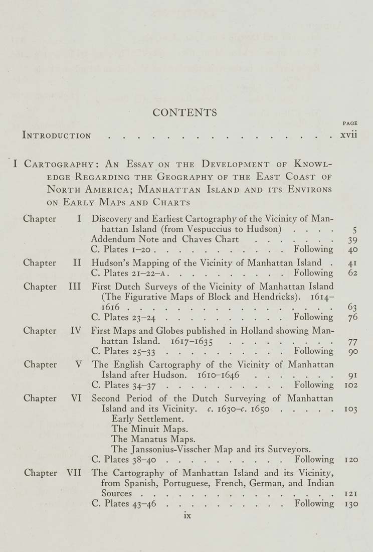
CONTENTS

PAGE

Introduction................xvii

I Cartography: An Essay on the Development of Knowl¬
edge Regarding the Geography of the East Coast of
North America; Manhattan Island and its Environs
ON Early Maps and Charts

Chapter         I     Discovery and Earliest Cartography of the Vicinity of Man¬
hattan Island (from Vespuccius to Hudson)     ....        5

Addendum Note and Chaves Chart.......      39

C. Plates 1-20...........Following      40

Chapter       II    Hudson's Mapping of the Vicinity of Manhattan Island    .      41
C. Plates 21-22-A..........Following      62

Chapter     III    First Dutch Surveys of the Vicinity of Manhattan Island
(The Figurative Maps of Block and Hendricks).    1614-

1616.................63

C. Plates 23-24..........Following      76

Chapter      IV    First Maps and Globes published in Holland showing Man¬
hattan Island.     1617-1635       .........       77

C. Plates 25-33..........Following      90

Chapter       V    The EngUsh Cartography of the Vicinity of Manhattan

Island after Hudson.     1610-1646.......      91

C. Plates 34-37..........Following     102

Chapter      VI    Second  Period   of the Dutch   Surveying  of  Manhattan

Island and its Vicinity,    c. 1630-f. 1650.....103

Early Settlement.
The Minuit Maps.
The Manatus Maps.

The Janssonius-Visscher Map and its Surveyors.
C. Plates 38-40..........Following     120

Chapter    VII    The Cartography of Manhattan Island  and its Vicinity,
from Spanish, Portuguese, French, German, and Indian

Sources................121

C. Plates 43-46..........Following    130

ix
|


