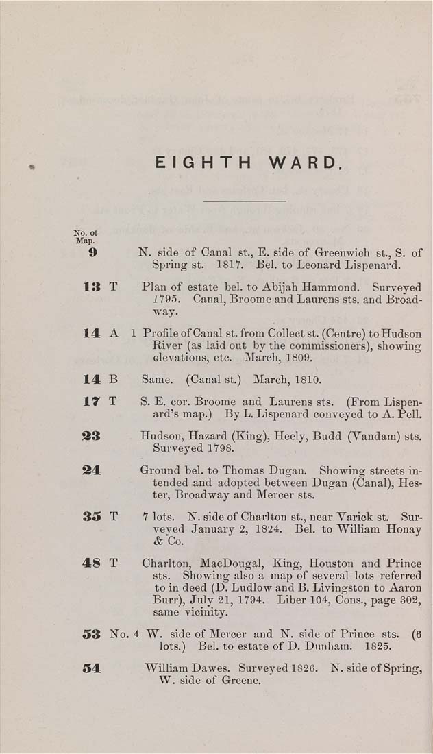
EIGHTH    WA RD.


9             N. side of Canal St., E. side of Greenwich st., S. of

Spring St.    1817.    Bel. to Leonard Lispenard.

13   T        Plan of estate bel. to Abijah Hammond.    Surveyed

i795.    Canal, Broome and Laurens sts. and Broad¬
way.

14   A    1 Profile of Canal st. from Collect st. (Centre) to Hudson

River (as laid out by the commissioners), showing
elevations, etc.    March, 1809.

14  B        Same.    (Canal st.)    March, 1810.

17 T S. E. cor. Broome and Laurens sts. (From Lispen-
ard's map.)    By L. Lispenard conveyed to A. Pell.

33              Hudson, Hazard (King), Heely, Budd (Vandam) sts.

Surveyed 1798.

34              Ground bel. to Thomas Dngan,    Showing streets in¬

tended and adopted between Dugan (Canal), Hes¬
ter, Broadway and Mercer sts.

35   T        7 lots.    N. side of Charlton St., near Varick St.    Sur¬

veyed January 2, 1824.    Beh to William Honay

& Co.

48 T Charlton, MacDougal, King, Houston and Prince
sts. Showing also a map of several lots referred
to in deed (D. Ludlow and B. Livingston to Aaron
Burr), July 21, 1794. Liber 104, Cons., page 302,
same vicinity.

53   No. 4 W.  side of Mercer and N. side of Prince  sts.    (6

lots.)    Bel. to estate of D. Dnnham.    1825.

54               William Dawes.   Snrveyed 1826.    N. side of Spring,

W. side of Greene.
|


