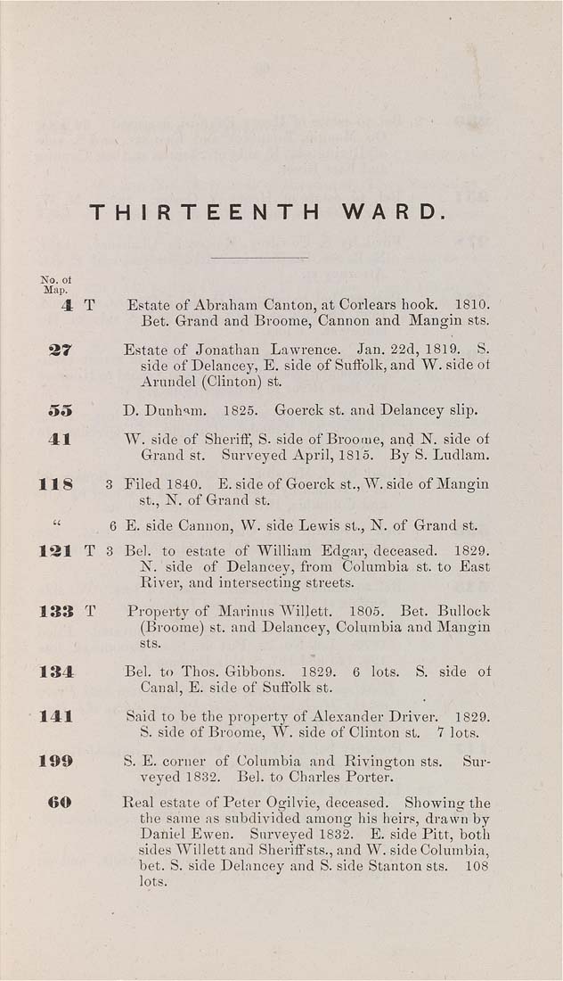
THIRTEENTH    WA R D,


No. ot
Map,

4  T        Estate of Abraham Canton, at Corlears hook.    1810.
Bet. Grand and Broome, Cannon and Mangin sts.

37            Estate of Jonathan   Lawrence.    Jan. 22d, 1819.    S.

side of Delancey, E. side of Suifolk, and W. side ot
Arundel (Clinton) st.

5o            D. Dunham.    1825.    Goerck st. and Delancey slip.

41             W. side of Sheriff, S. side of Broome, and N. side of

Grand St.    Surveyed April, 1815.    By S. Ludlam.

118 3 Filed 1840. E. side of Goerck St., W. side of Mangin
St., N. of Grand st.

"            8 E. side Cannon, W. side Lewis St., N. of Grand st.

131 T 3 Bel. to estate of William Edgar, deceased. 1829.
N. side of Delancey, from Columbia St. to East
River, and intersecting streets.

133   T        Property of Marinus Willett.    1805.    Bet. Bullock

(Broome) st. and Delancey, Columbia and Mangin
sts.

134             Bel. to Thos. Gibbons.    1829.    6   lots.    S.   side   oi

Canal, E. side of Suffolk st.

141             Said to be the property of Alexander Driver.    1829.

S. side of Broome, W. side of Clinton st.    7 lots.

199            S. E. corner of Columbia and Rivington sts.     Sur¬

veyed 1832.    Bel. to Charles Porter.

60            Real estate of Peter Ogilvie, deceased.    Showing the

the same as subdivided among his heirs, drawn by
Daniel Ewen. Snrveyed 1832. E. side Pitt, both
sides Willett and Sheriff sts., and W. side Columbia,
bet. S. side Delancey and S. side Stanton sts. 108
lots.
|


