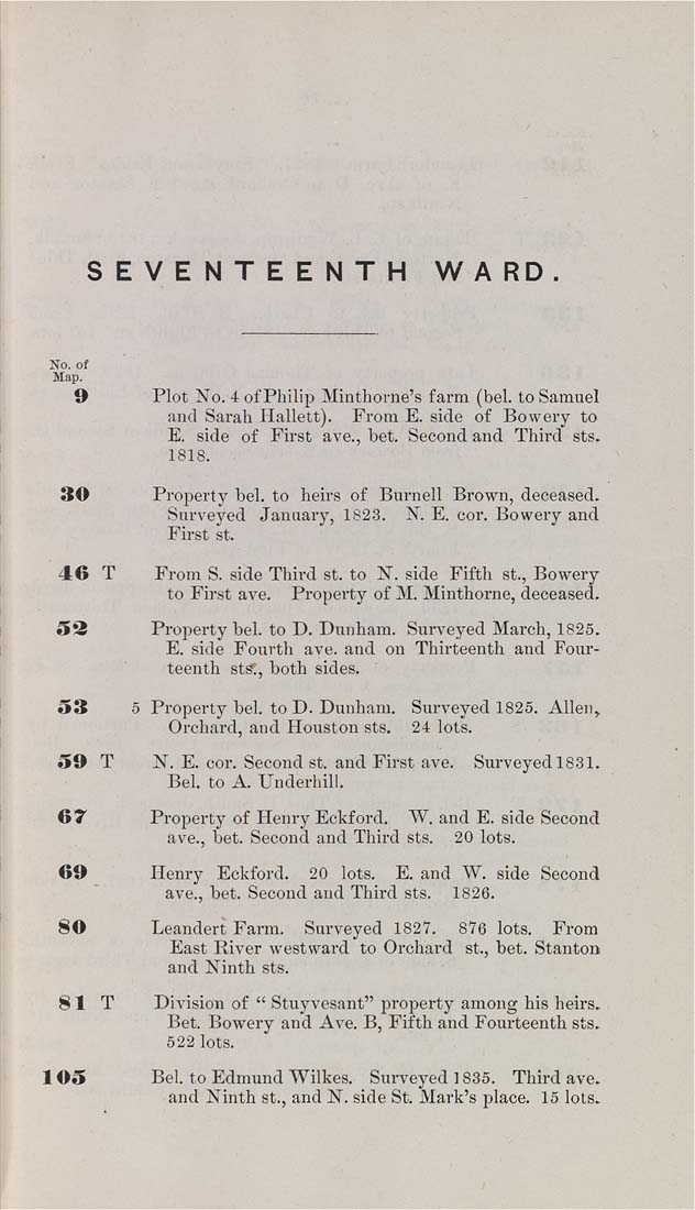
SEVENTEENTH    WARD.


No. ot
Map.

9            Plot No. 4 of Philip Minthorne's farm (bel. to Samuel

and Sarah Hallett). From E. side of Bowery to
E. side of First ave., bet. Second and Third sts.
1818.

30            Property bel. to heirs of Burnell Brown, deceased.

Snrveyed January, 1823. N. E. cor. Bowery and
First St.

46  T        From S. side Third st. to N. side Fifth St., Bowery
to First ave.    Property of M. Minthorne, deceased.

53            Property bel. to D. Dunham. Surveyed March, 1826.

E. side Fourth ave. and on Thirteenth and Four¬
teenth sts;, both sides.

53         5 Property bel. to D. Dunham.   Surveyed 1826. Allen,

Orchard, and Houston sts.    24 lots.

59  T        N. E. cor. Second st. and First ave.    Surveyed 1831.
Bel. to A. Underhill.

67            Property of Henry Eckford.    W. and E. side Second

ave., bet. Second and Third sts.    20 lots.

69            Henry   Eckford.    20   lots.    E. and W. side Second

ave., bet. Second and Third sts.    1826.

80              Leandert Farm.    Surveyed 1827.    876 lots.    From

East River westward to Orchard St., bet. Stanton
and Ninth sts.

81   T        Division of " Stuyvesant" property among his heirs.

Bet. Bowery and Ave. B, Fifth and Fourteenth sts.
622 lots.

105             BeL to Edmund Wilkes.   Surveyed 1835.   Third ave.

and Ninth St., and N. side St. Mark's place. 15 lots.
|


