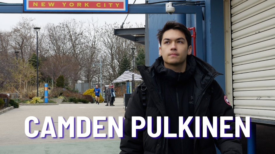
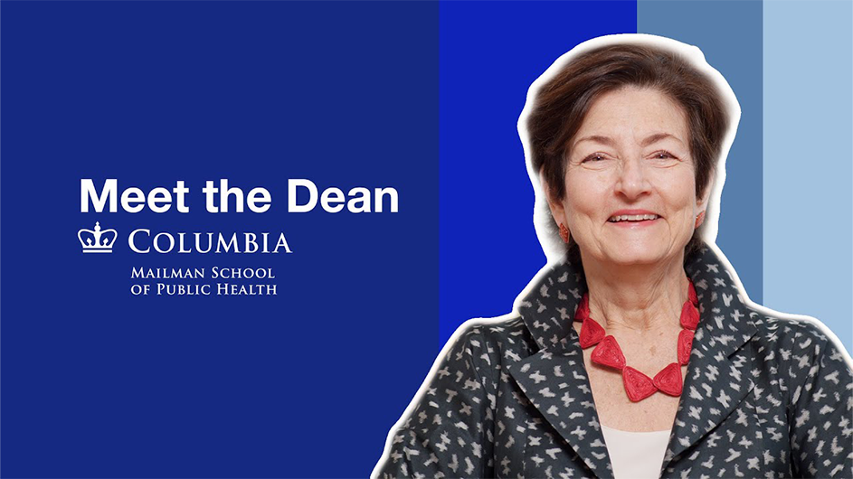
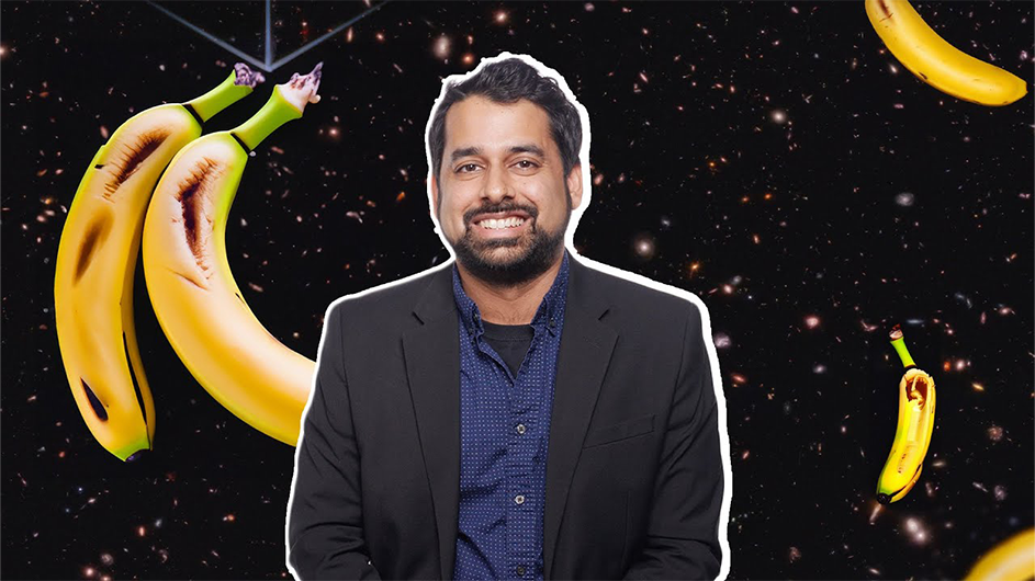
Go to Columbia Web


Where to Find It

The Lamont-Doherty Earth Observatory Web is available on the Schools & Departments and Index pages of ColumbiaWeb.


Record Banner
VOL. 23, NO. 4September 26, 1997


Lamont Scientists: El Niño Could Be the Worst Ever

During an El Niño Year—Trade winds slacken, or even reverse. Warm surface waters and accompanying clouds move eastward, taking expected rain from some regions and dropping it in others. Temperatures across the entire Pacific region equalize, causing the jet stream to flow farther north and steering unusual weather systems into distant regions.

By Bob Nelson

The recurrent warming of the eastern equatorial Pacific Ocean known as El Niño is setting record highs, creating the likelihood of chaotic weather conditions around the world this year, say scientists at Columbia's Lamont-Doherty Earth Observatory.

  They believe it will be stronger than the most severe El Niño to date, in 1982, which caused $13 billion worldwide in weather-related crop damage and flooding, as well as injury and death. Severe flooding along the Mississippi in 1993, and in California in 1995, was related to El Niño, Spanish for "the child" because it normally arrives near Christmas.

  Sea surface temperatures, already about 11 degrees Fahrenheit higher than normal, have risen beyond the parameters of the computer models used to predict the event, sometimes known as ENSO, for El Niño Southern Oscillation. Records of such temperatures date to the late 1800s; scientists have linked a famine in India to a probable El Niño in 1877.

  "The trend over the past five months has been absolutely spectacular, the most rapid rise in temperatures in the eastern Pacific on record, going back 120 years," said Steve Zebiak, senior research scientist at Lamont who, with Mark Cane, also senior research scientist at Lamont, is among the leading El Niño researchers. An array of buoys in the Pacific track wind speed as well as ocean temperature.
Mark Cane

  "Normally, an El Niño peaks near Christmas," said Carolyn Mutter, science program coordinator for the new International Research Institute for Climate Prediction. "Here we are in September and this event is already as big as any ENSO that has ever been observed."

  In 1986, Cane and Zebiak developed the first computer model that successfully predicted El Niño, one they have continued to refine. It is based on physical laws that simulate the complex interactions between ocean and atmosphere in the tropical Pacific. The work has been supported by the G. Unger Vetlesen Foundation, the National Oceanic and Atmospheric Administration, the National Aeronautics and Space Administration and the National Science Foundation.

  During an El Niño, westward equatorial trade winds slacken and the pool of warm waters in the western Pacific begins to migrate back eastward, accompanied by a center of tropical rainfall. The shifting conditions in the tropical Pacific dramatically rearrange global wind and rainfall patterns, often causing destructive weather around the world. Most predictably, Zebiak said, are droughts in Australia, Indonesia, northeastern Brazil and southern Africa and heavy precipitation along the southeastern coast of South America. Peruvian fisheries are disrupted. Heavier rains and higher temperatures contribute to malaria outbreaks; in Africa the disease already kills 1.5 million children under the age of 5 every year.

  In North America, the scientists say, it is likely that California, Florida and the southeastern United States will be wetter than normal and the Great Plains will see a milder than usual winter. El Niño events influence weather patterns in the northeastern United States very little, Zebiak said, but may increase chances of a milder than normal winter. The National Weather Service, citing shifts in the jet stream to the north that could keep cold air bottled up in Canada, also predicts a milder winter.
Steve Zebiak

  Whether the record El Niño will bring commensurate weather-related damage depends on a number of factors, Mutter said. Computer models scientists use to predict El Niño a year in advance either underestimated its amplitude or, in the case of the Cane-Zebiak model, saw it arriving several seasons later. The same models, corrected with new information, see the event moderating in early winter and then declining. Other major oceans also contribute to the global ocean-atmosphere system responsible for climate, so the eastern Americas, Europe and India may or may not feel the strength of this El Niño, she said. Historically vulnerable areas are already feeling the impact, however.

  Last year, Lamont and the Scripps Institution of Oceanography at U.C.-San Diego jointly established the International Research Institute for Climate Prediction, with funding from NOAA. The institute is working to develop partnerships with local scientists and agronomists in severely affected countries to learn how to use El Niño forecasts to mitigate its destructive effects, a task somewhat complicated by the huge event that greeted the institute's inaugural year.

  "We're working with new and existing networks to facilitate modeling, forecasting and applications," Mutter said. "With this El Niño right on top of us, we must work together to develop useful information as quickly as possible."

  IRI's Experimental Forecast Division, located at Scripps in La Jolla, Calif., has formed a partnership with farmers in Queensland, Australia, to develop local applications. The IRI is also developing a project to mitigate effects on Peruvian fisheries, and is looking at other possible applications as well. Training courses offered at the institute place a strong emphasis on practical applications of scientific information and have already graduated 106 individuals from 46 countries.

  The institute is planning to hire new staff that will essentially double its size, and expects to rely heavily on a network of researchers in other countries.


webmaster@columbia.edu