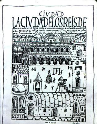
Plaza Mayor, Lima [Peru]. Don Rodrigo de Aguero and Camillo Pizarro, 1535
Site plan of Mexico City and surroundings, c. 1550. Original plan by Alonso Garcia Bravo in 1521 on the foundations of Tenochitlan, destroyed by Cortes's troops earlier that year
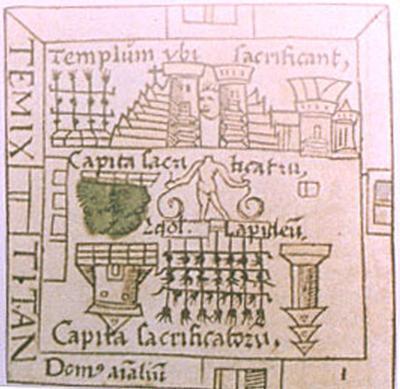
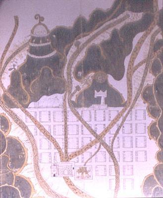
Temple Plaza in Tenochitlan [Mexico], Aztec capital founded in early-14th century
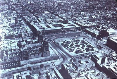
Aerial photograph of Mexico City's Zocalo (central plaza), designed by Alonso Garcia Bravo, 1521, with governor's palace and cathedral to left
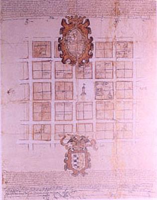
�Hybrid� Aztec-Spanish map of Texúpa [Mexico], drawn up for King Philip II, 1579
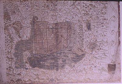
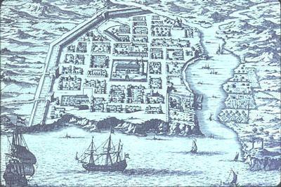
Bird's-eye view of Santo Domingo in Hispaniola [present-day Dominican Republic] in 1680. Original plan of 1501 by Governor Ovando
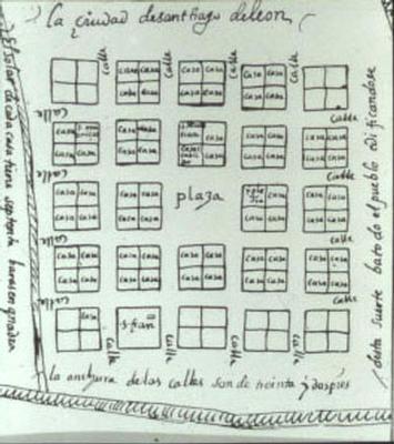
Site plan of Santiago de Leon [present-day Caracas, Venezuela], one basis for the Laws of the Indies, codified in 1573
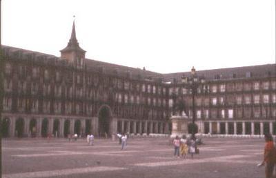
Madrid�s Plaza Mayor. Juan de Mora, 1617
Foundational plan of Mendoza [Argentina], 1561
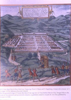
Idealized view of Cuzco [Peru], 1572
View of Cuzco�s Plaza Mayor, 1614, shows traces of former Inca capital
Reducción or village for Indians in Spanish America. Juan de Matienzo, 1567
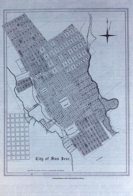
Plan of San Jose, California in 1850, showing core of 1777 Spanish civil settlement
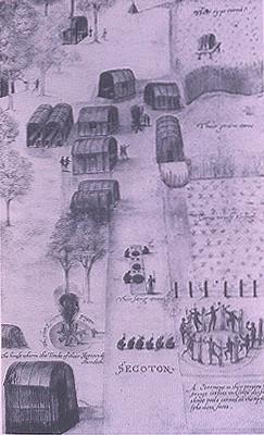
Secoton, Powhatan village near Roanoke, Virginia, drawn by John White, c. 1588
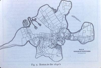
Map of Boston, Ma. In the 1640s (est. 1630 under Governor John Winthrop)
Detail map of intersection near Boston�s waterfront c. 1640, with town house (T) and church (C)
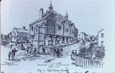
First town house and market, Boston, Ma. 1637-1711
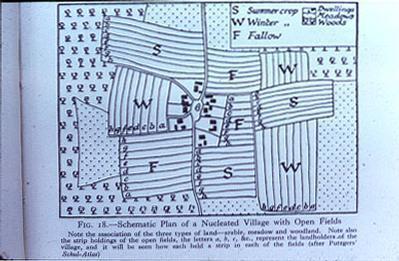
Schematic nucleated New England village, c. 1630-40
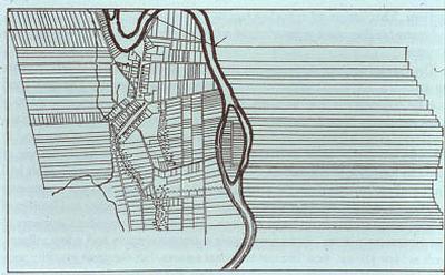
House lots, field lots and central green in the compact irregular site plan of Wethersfield, CT. 1634
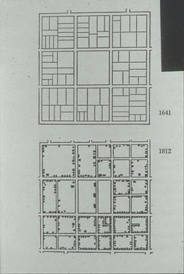
Maps of the Central Green area, New Haven, Connecticut, in 1641 and 1812
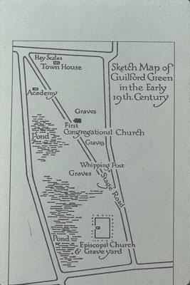
Plan of the Green at Guilford, Ct. (est. 1639) in early-19th century
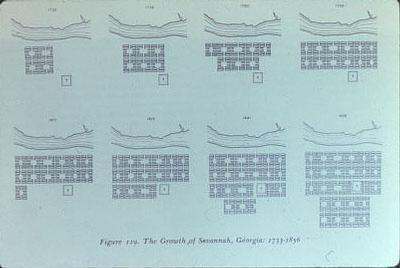
Growth of Savannah, Ga. 1734-1856
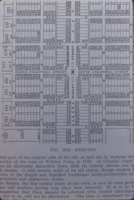
Reading, Pennsylvania, founded 1748. Nicholas Scull, surveyor