Münster's maps-- some examples from different editions (many with modern hand-coloring)
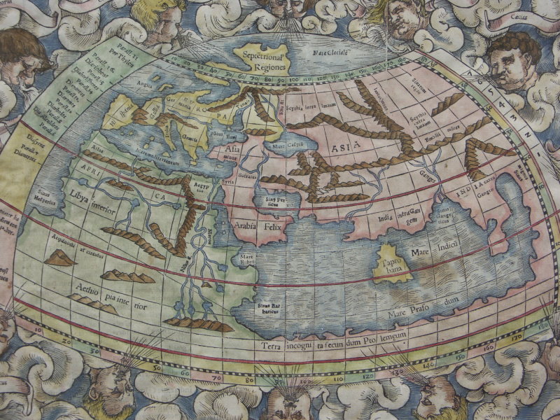
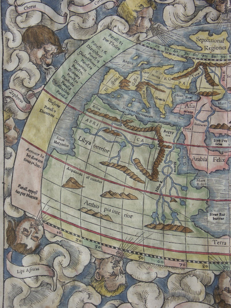
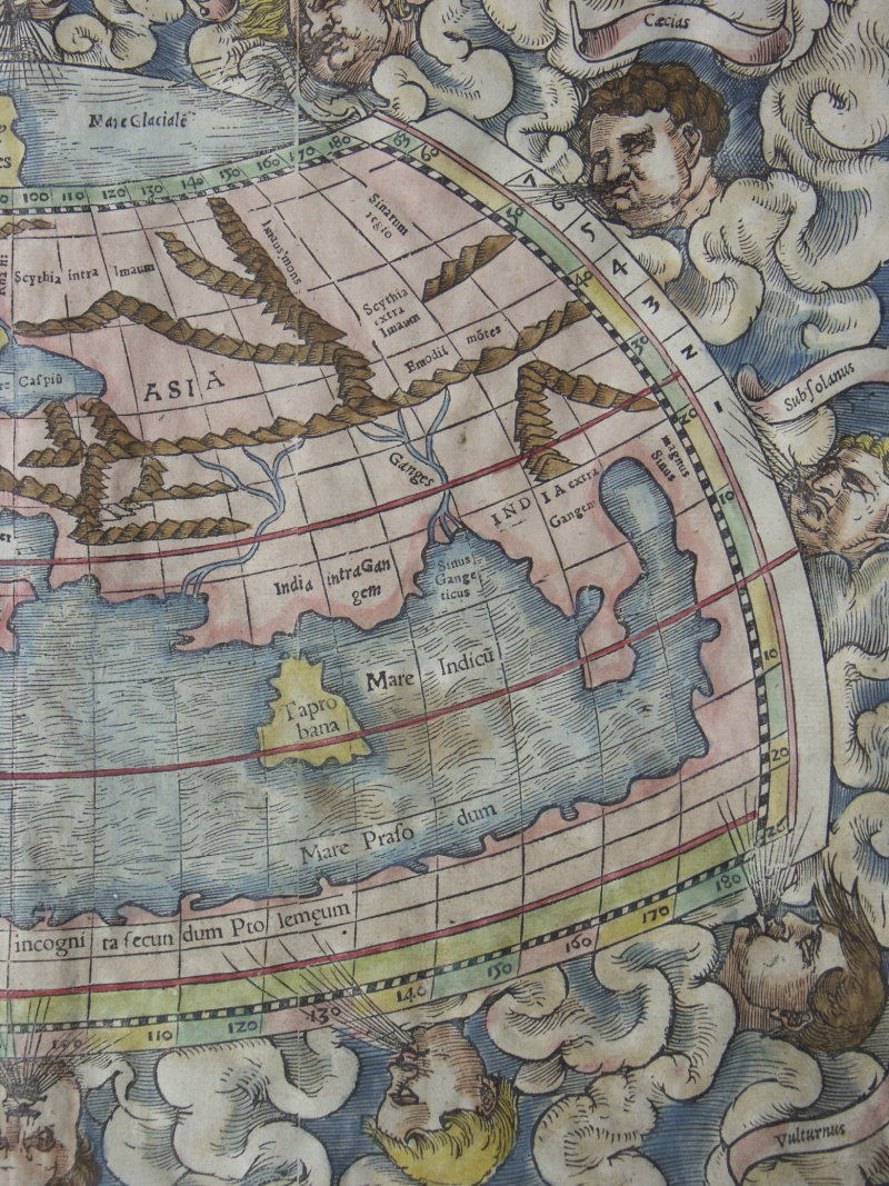
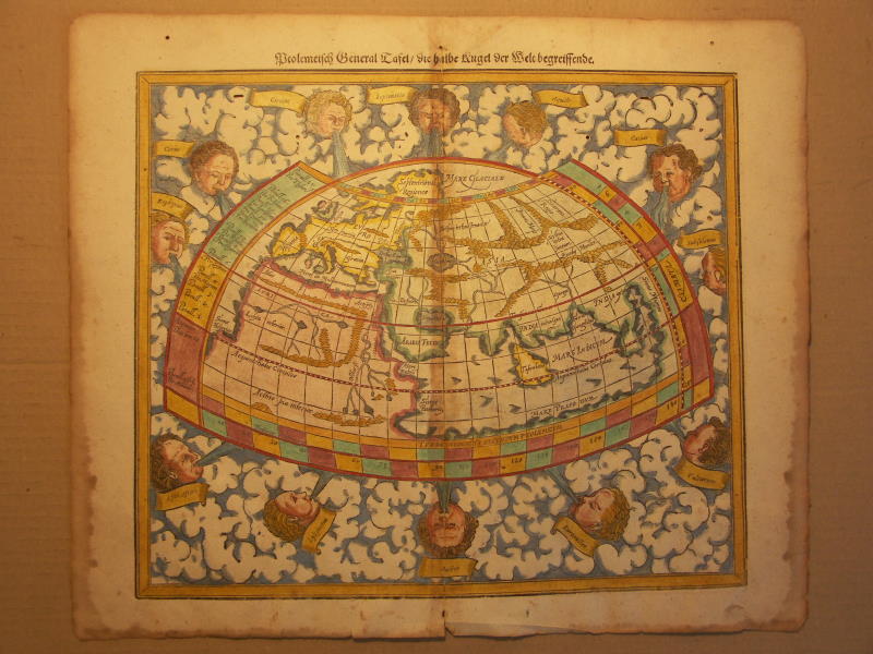
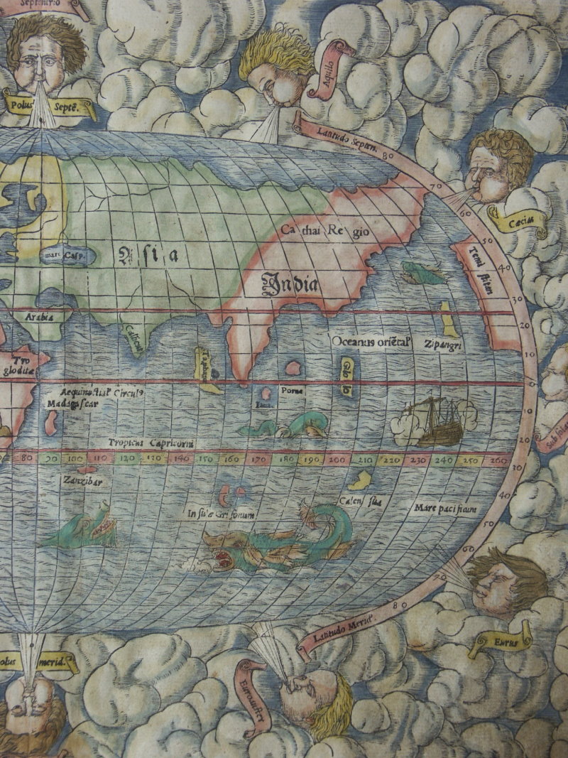
== *map of the northern hemisphere (Ptolemaic)* (1553): *west half*; *east half*
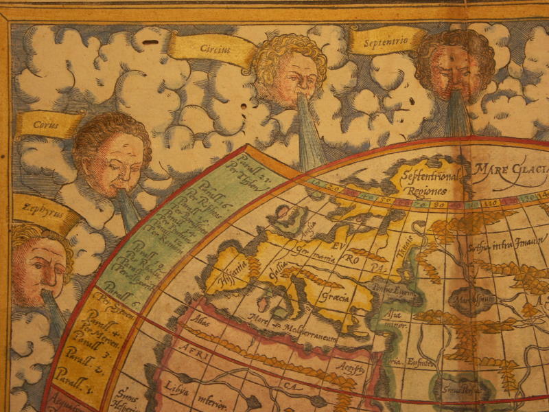
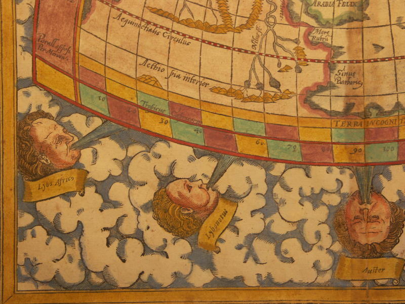
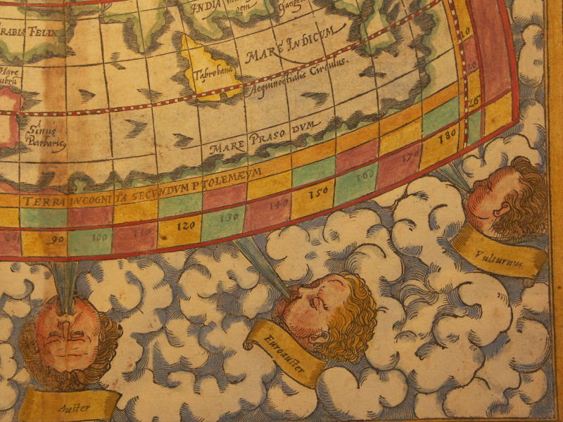
== *map of the northern hemisphere (Ptolemaic)* (1600): *northwest*; *northeast*; *southwest*; *southeast*
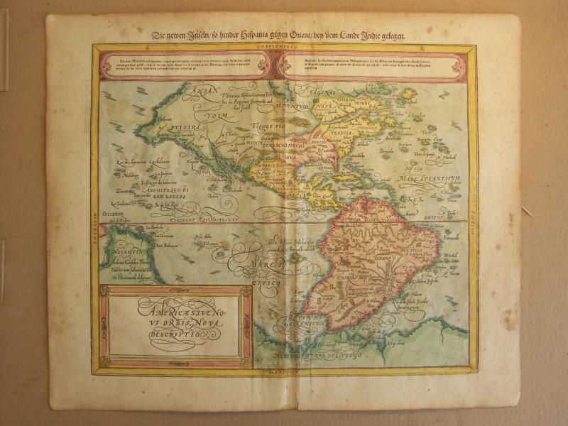
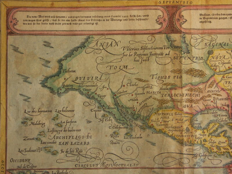
== *map of the world including the New World* (1553): *west half*; *east half*
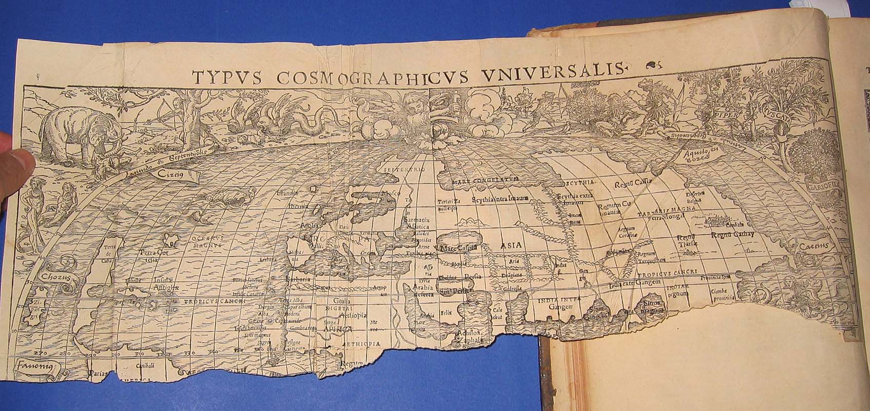
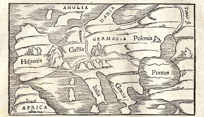
== *map of the ancient world* (1555)
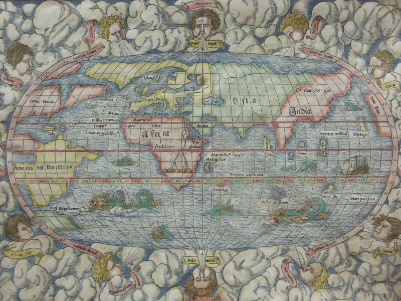
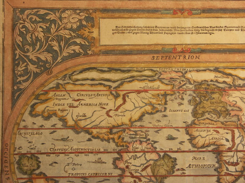
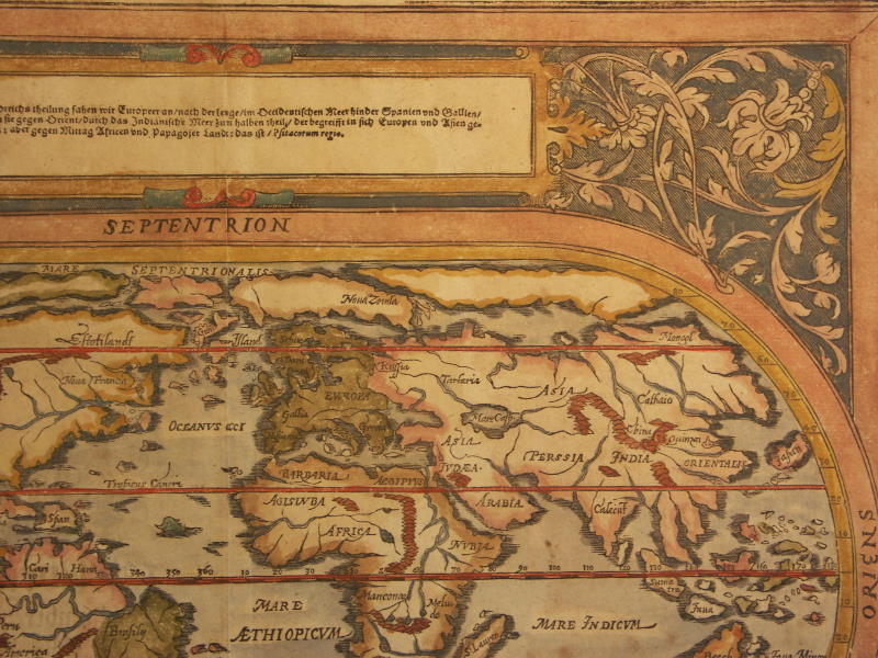
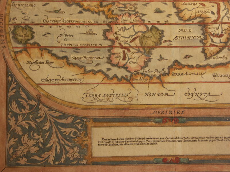
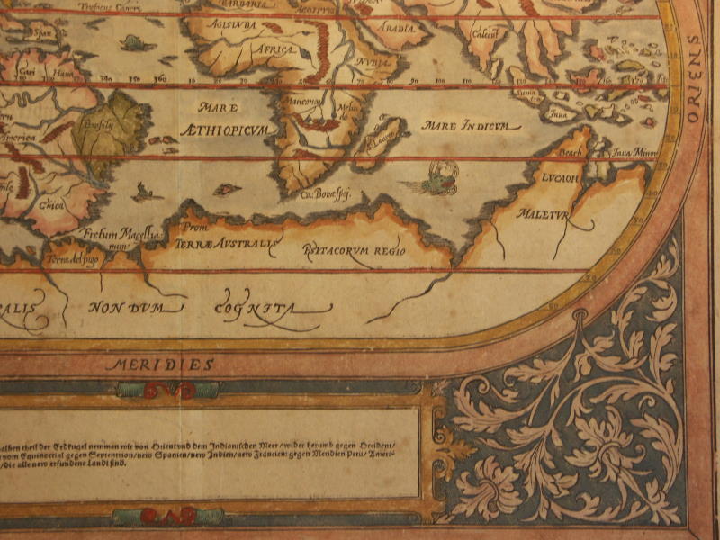
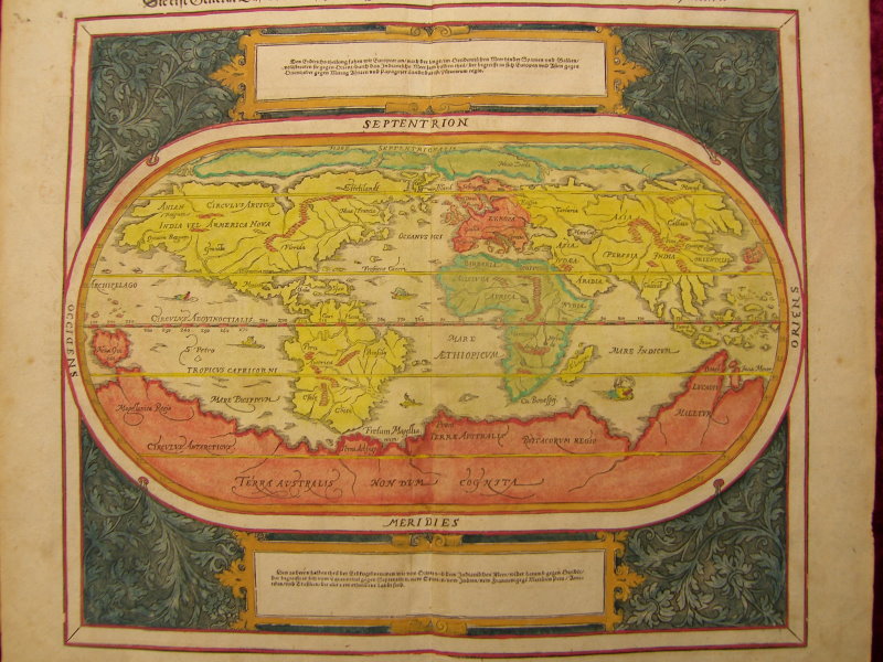
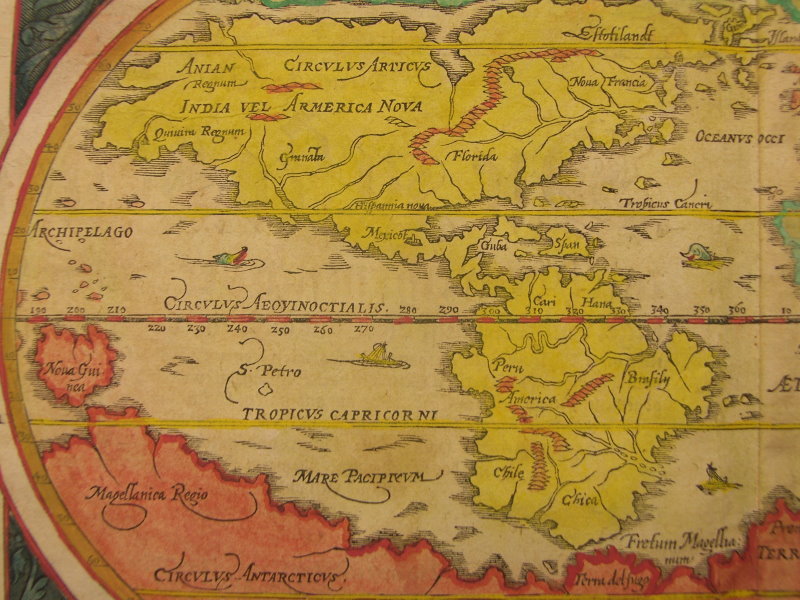
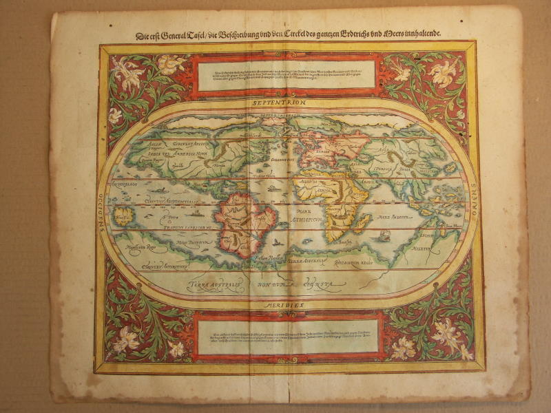
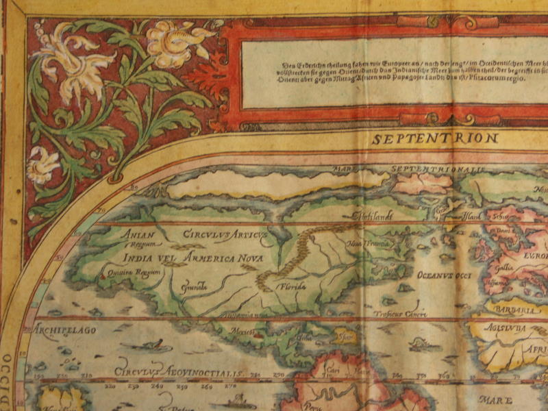
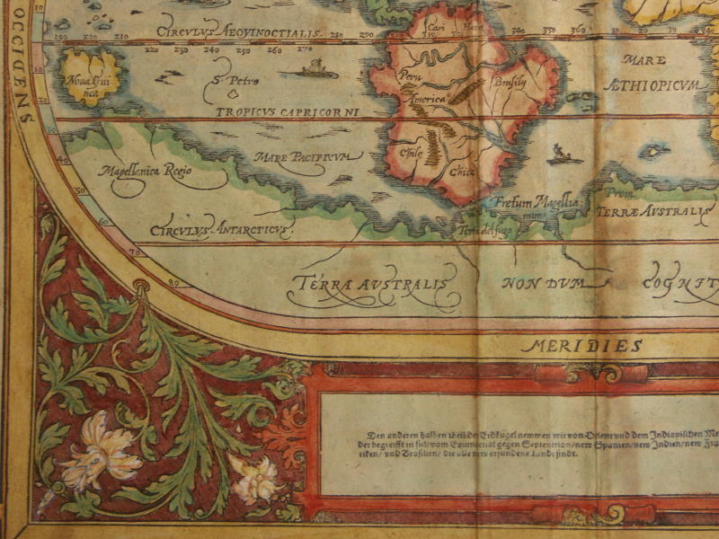
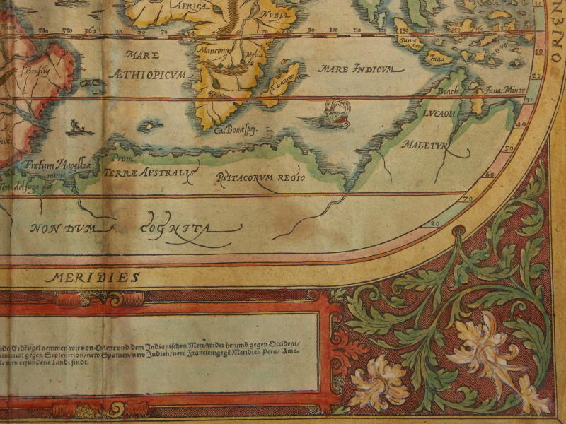
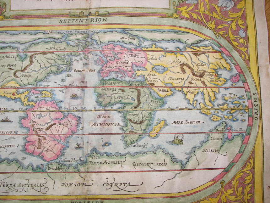
== *map of the world* (1580): *northwest*; *northeast*; *southwest*; *southeast*
== *map of the world* (1588): *eastern hemisphere*; *western hemisphere*
== *map of the world* (1600): *northwest*; *northeast*; *southwest*; *southeast*== *map of Asia and the Americas* (1588)
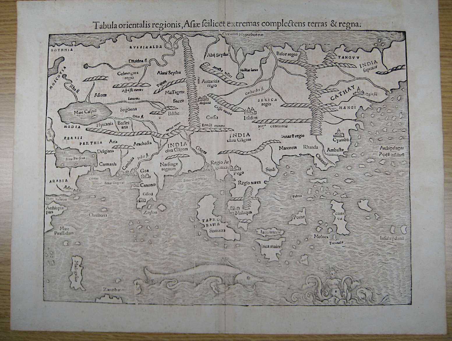
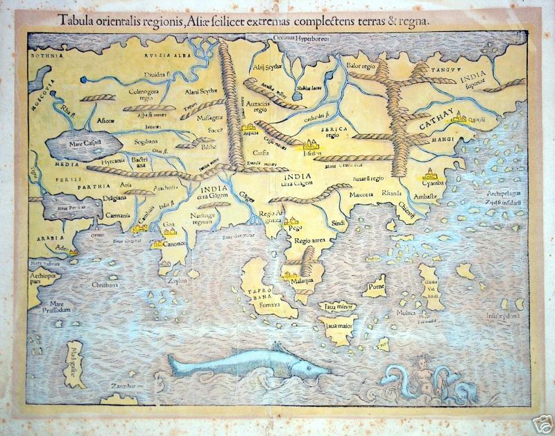
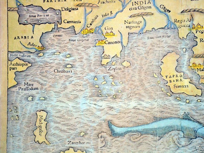
== *map of Asia* and a *closer view* (1554)
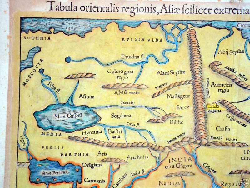
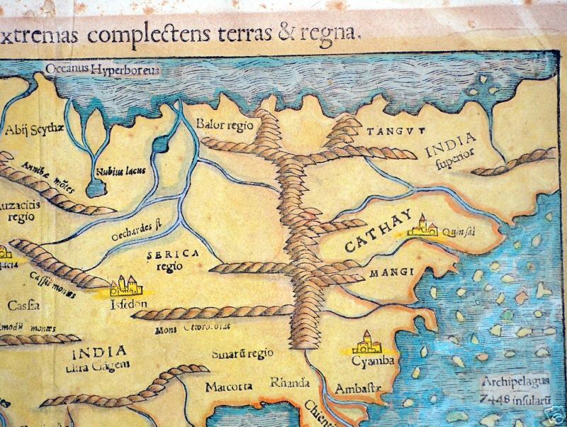
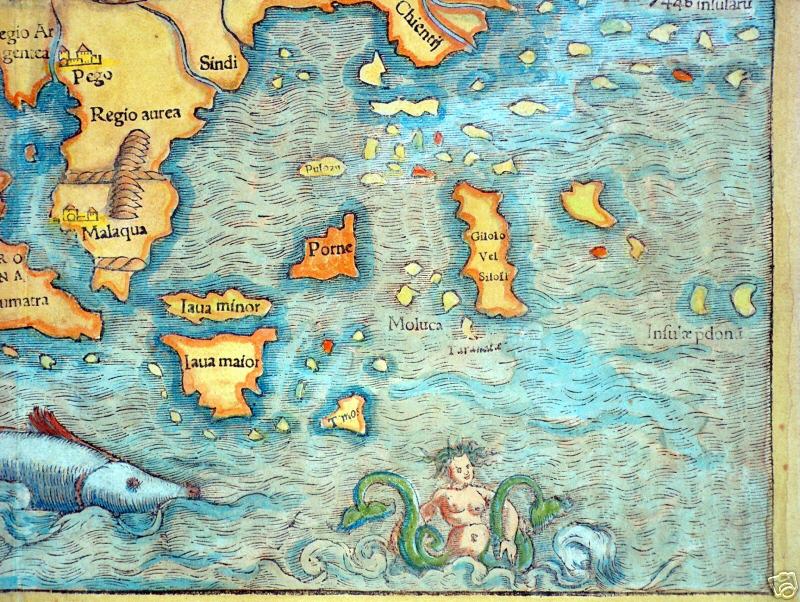
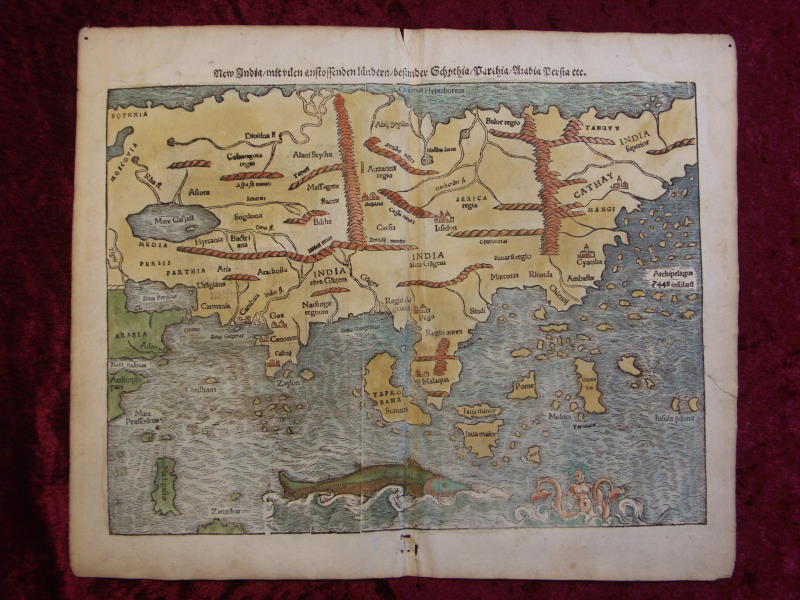
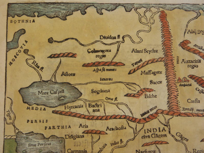
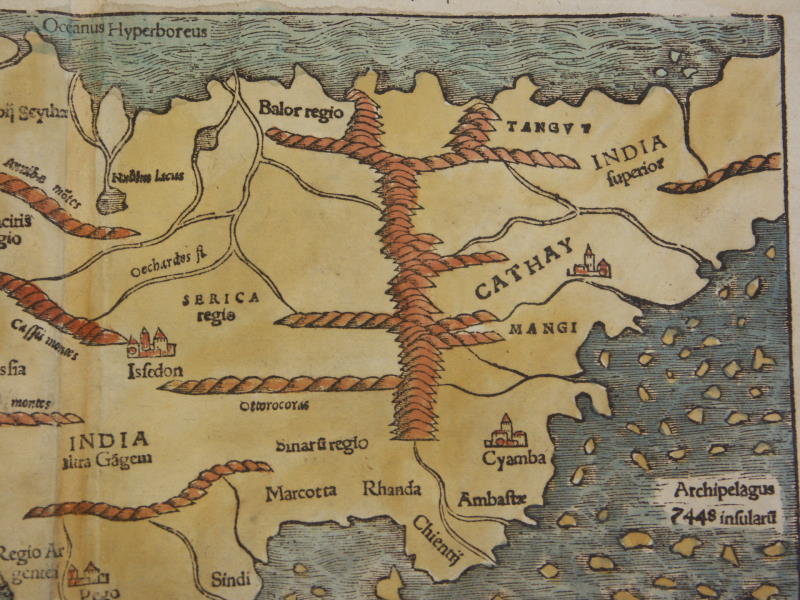
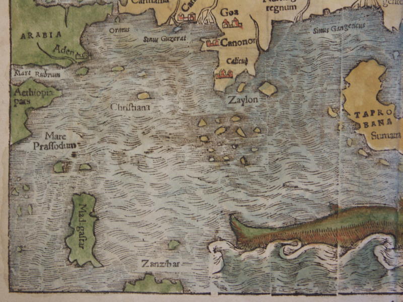
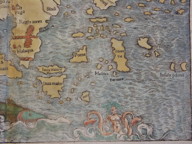
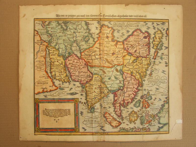
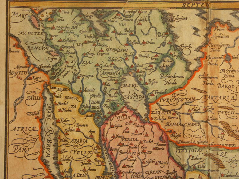
== *map of Asia* (1560): *closeup of South Asia*; *northwest*; *northeast*; *southwest*; *southeast*
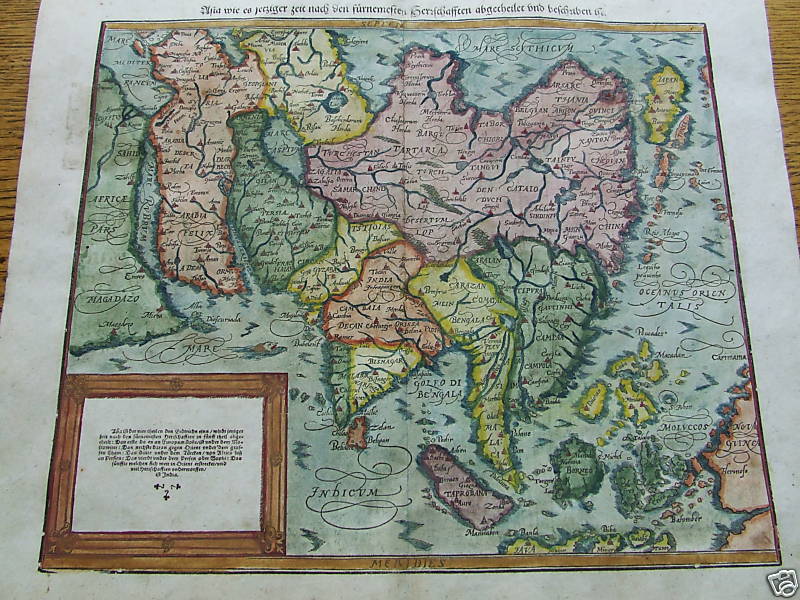
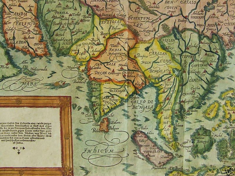
== *map of Asia* (1569): *northwest*; *northeast*; *southwest*; *southeast*
== *map of Asia* (1588): *South Asia*
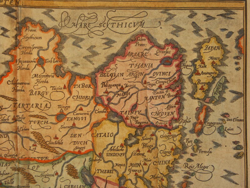
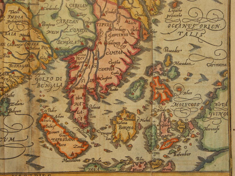
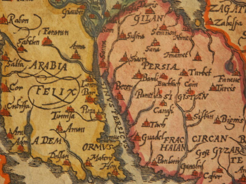
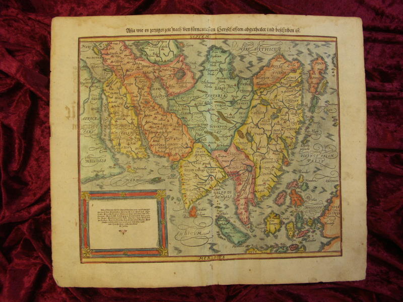
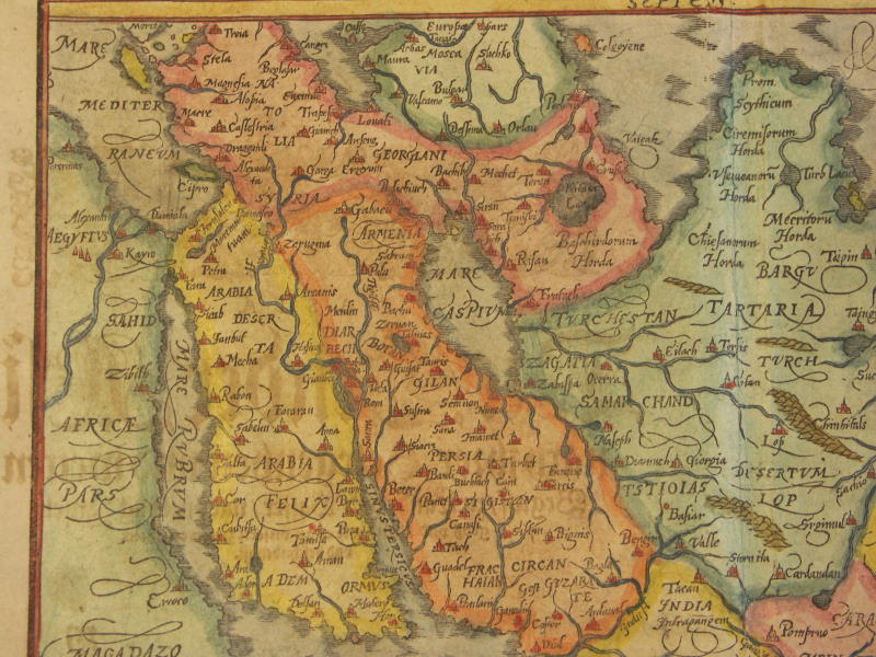
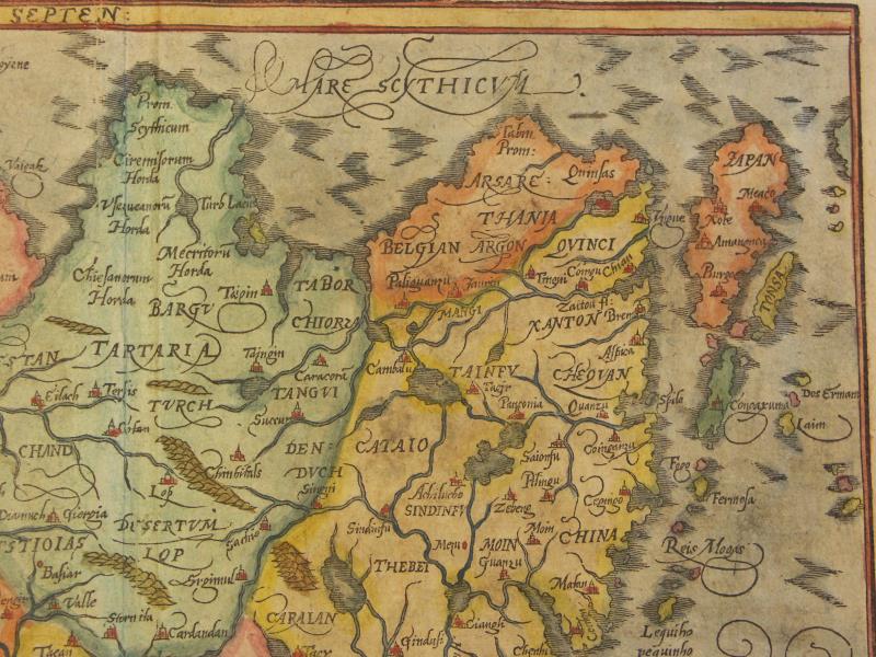
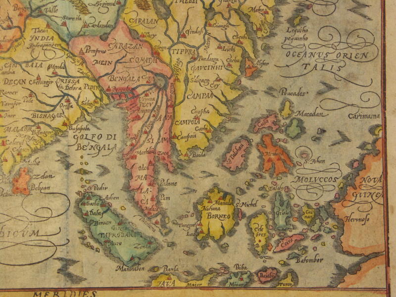
== *map of Asia* (1600): *northwest*; *northeast*; *southwest*; *southeast*; *Persian Gulf*
== *map of Asia* (1628): *northwest*; *northeast*; *southwest*; *southeast*
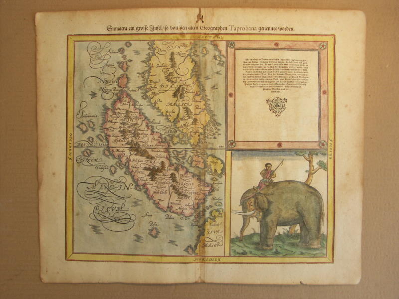
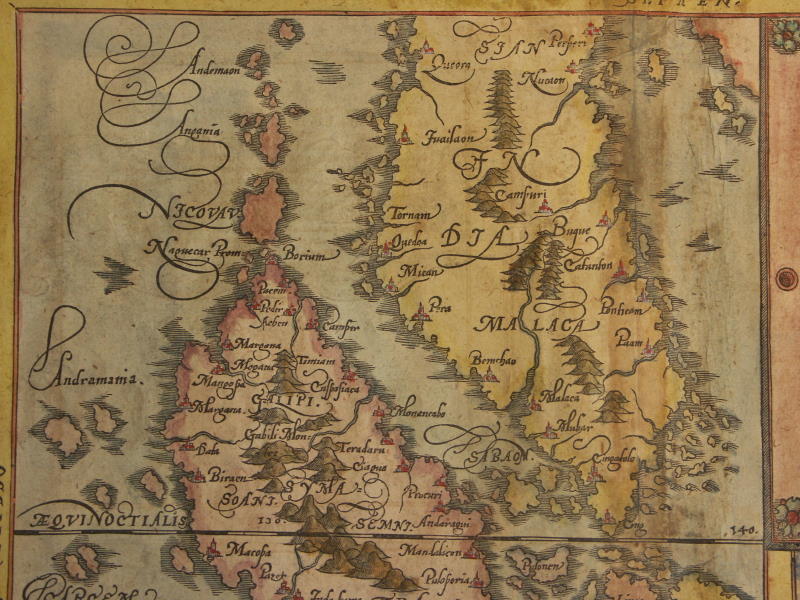
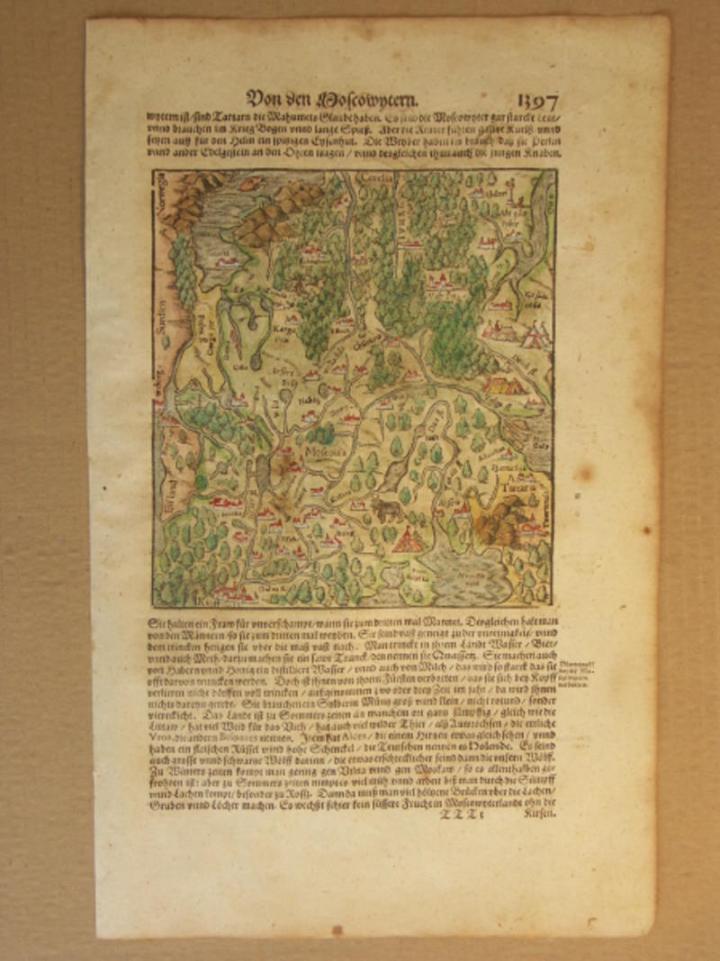
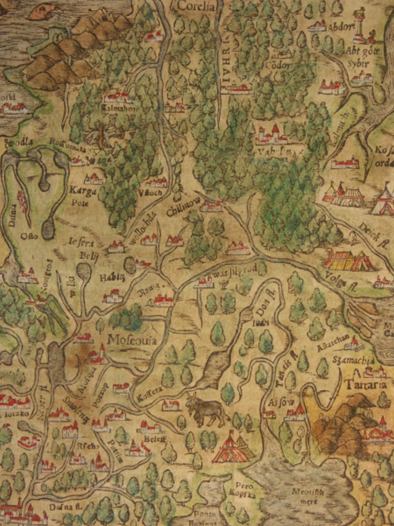
== *map of Sumatra* (1600); *north*; *south*; *elephant*== *map of Moscow* (1600); *a closer view*
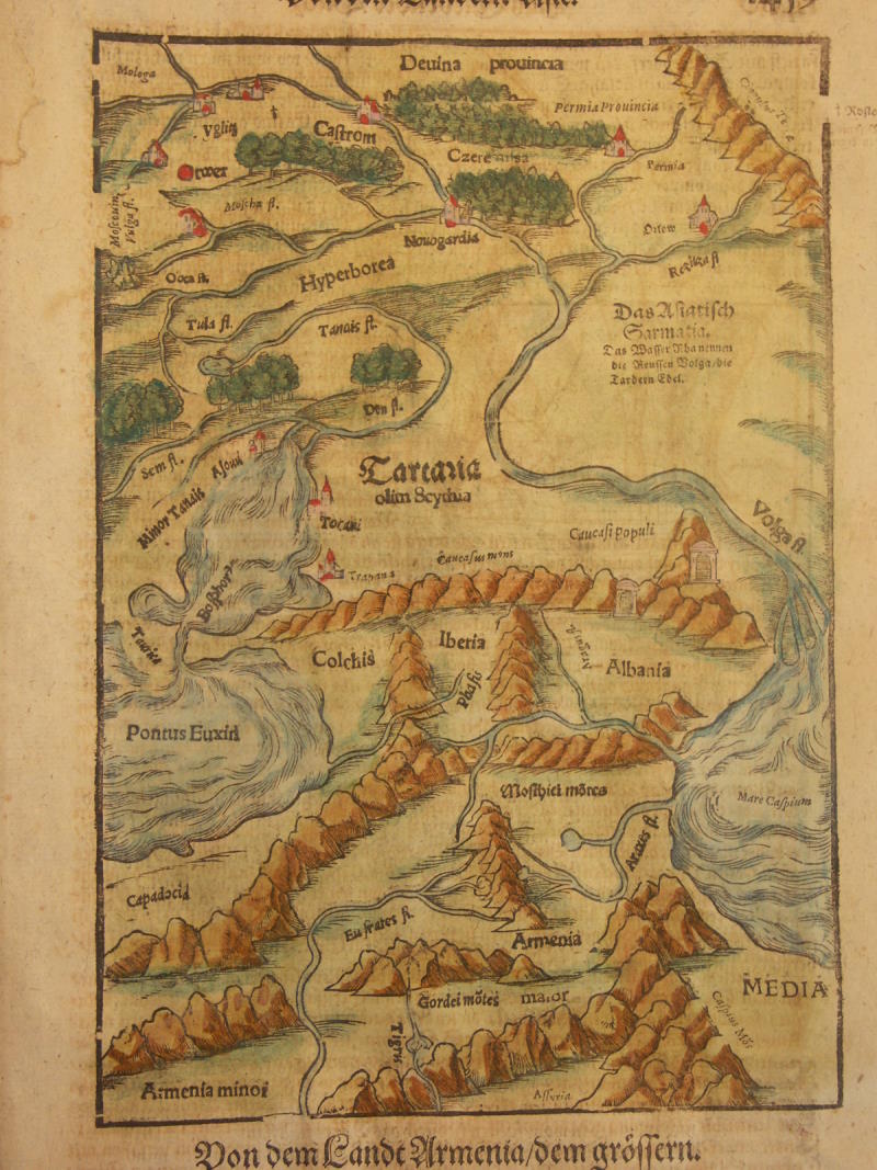
== *map of the Volga River* (1600)
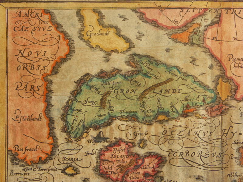
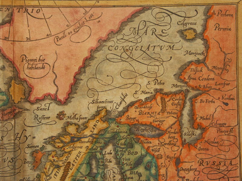
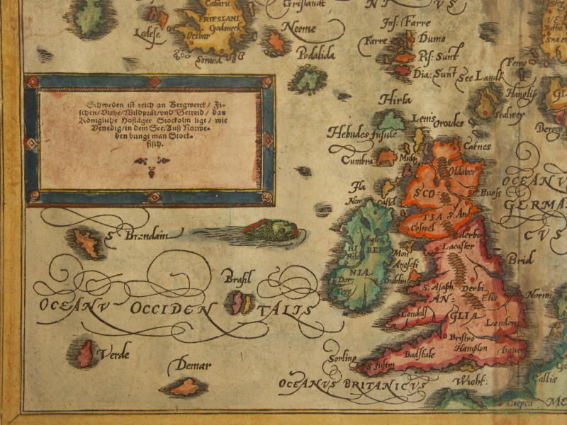
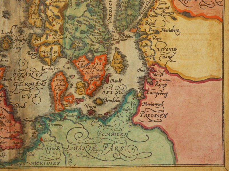
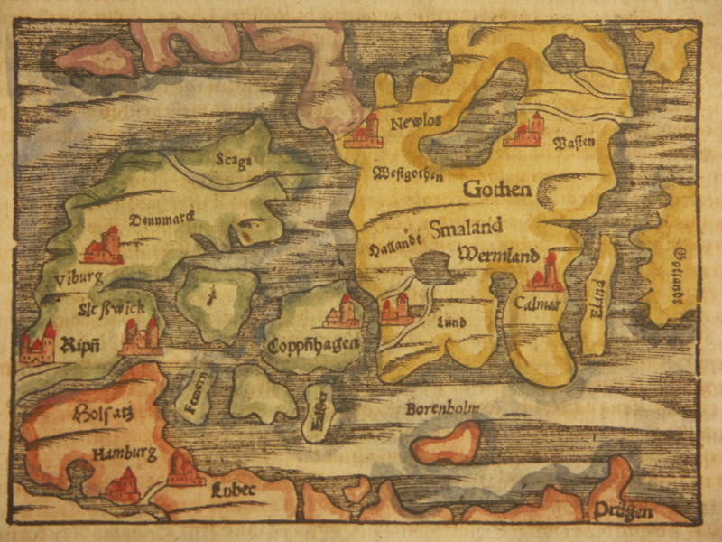
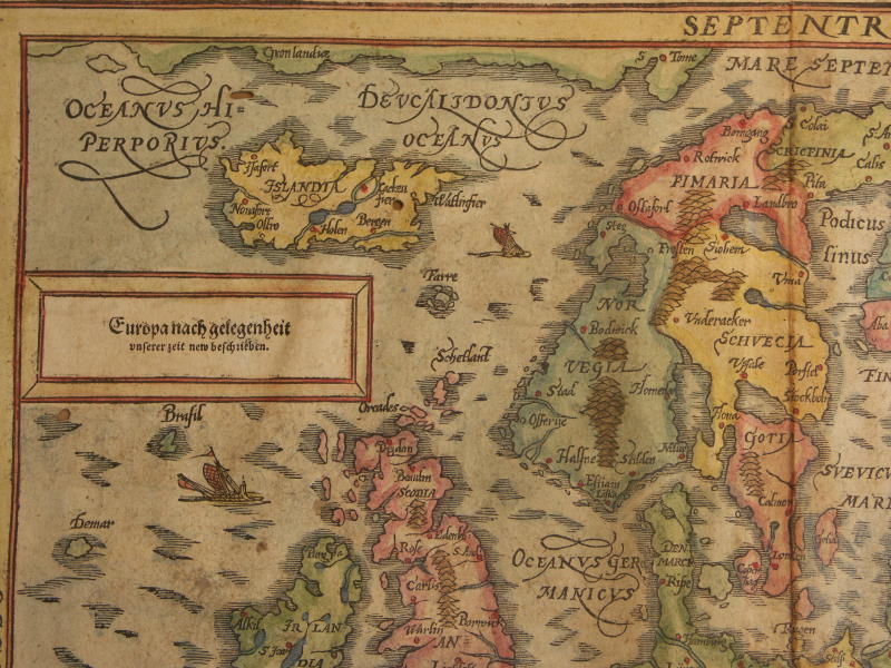
== *map of Scandinavia* (1600)
== *map of Scandinavia* (1600): *northwest*; *northeast*;*southwest*; *southeast*
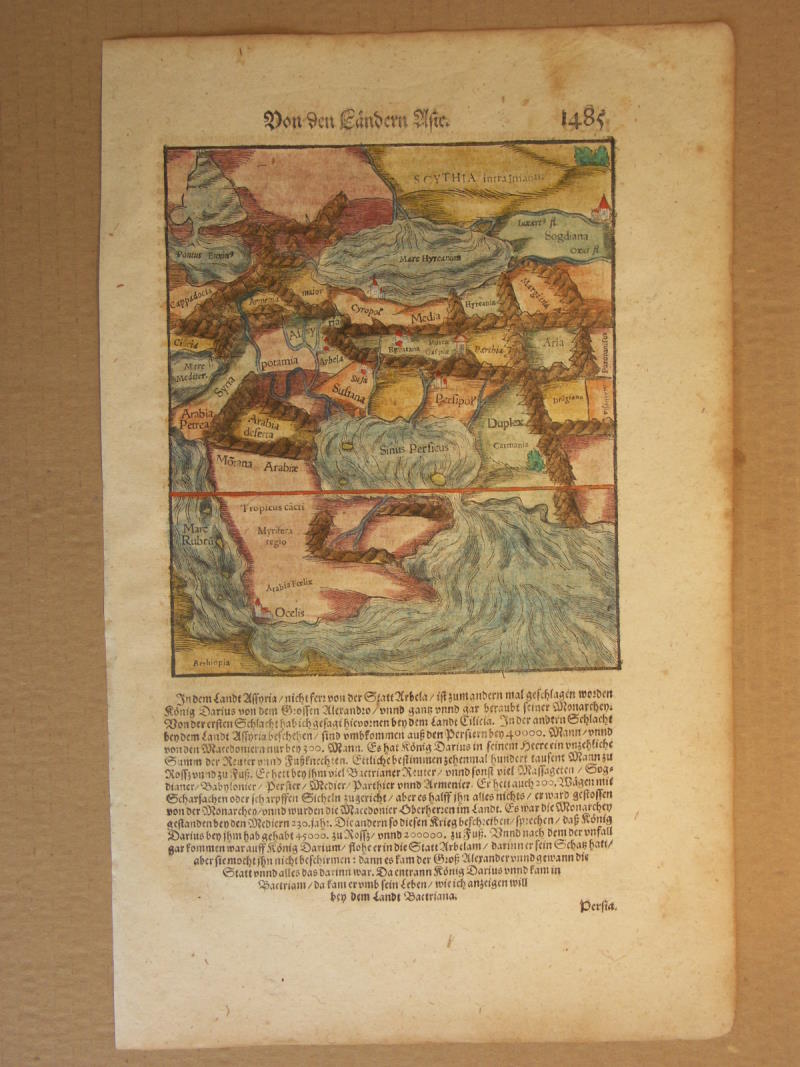
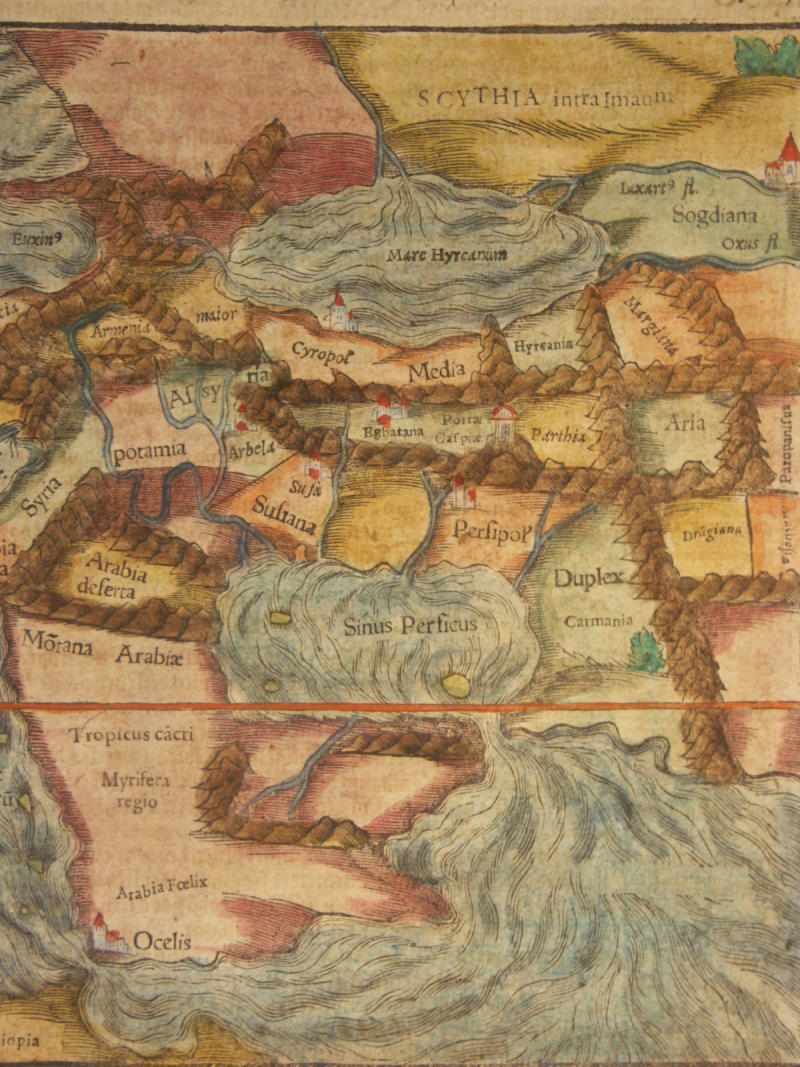
== *map of Denmark* (1600)== *map of ancient Persia* (1600); *a closer view*
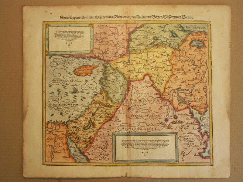
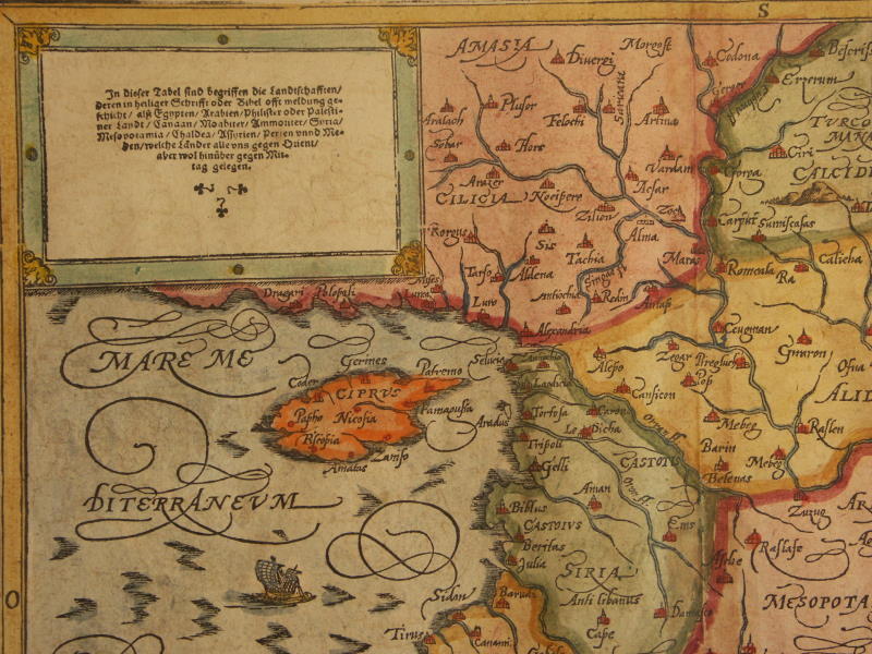
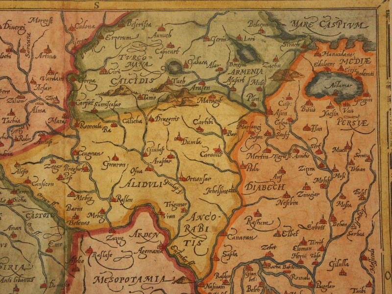
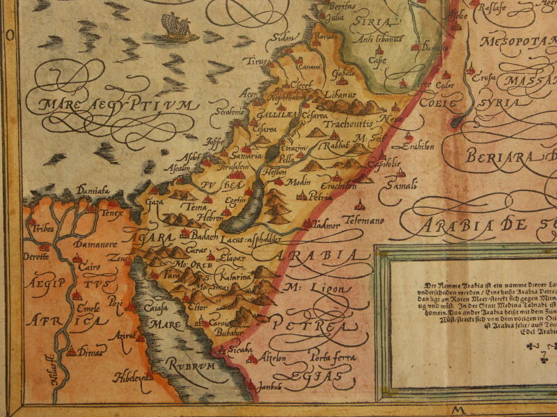
== *map of Syria and the Holy Land* (1600): *northwest*; *northeast*;*southwest*; *southeast*
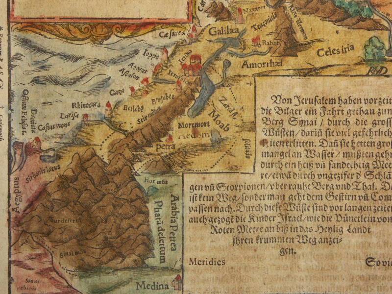
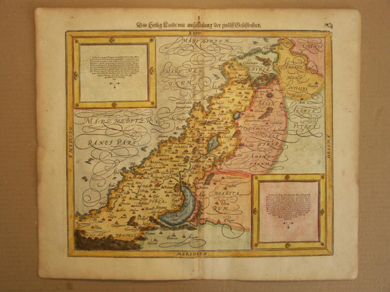
== *map of the Holy Land* (1600)
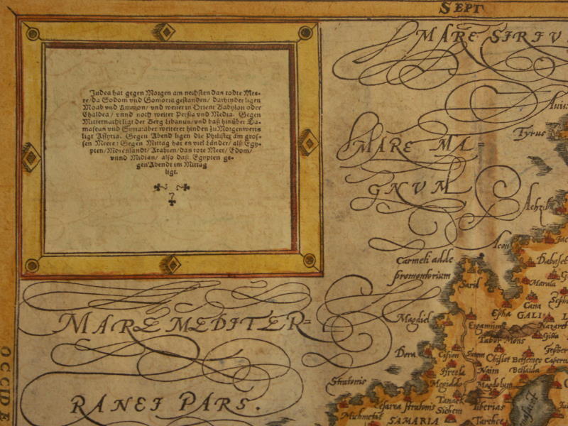
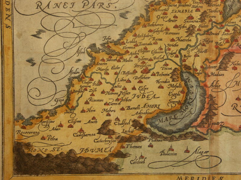
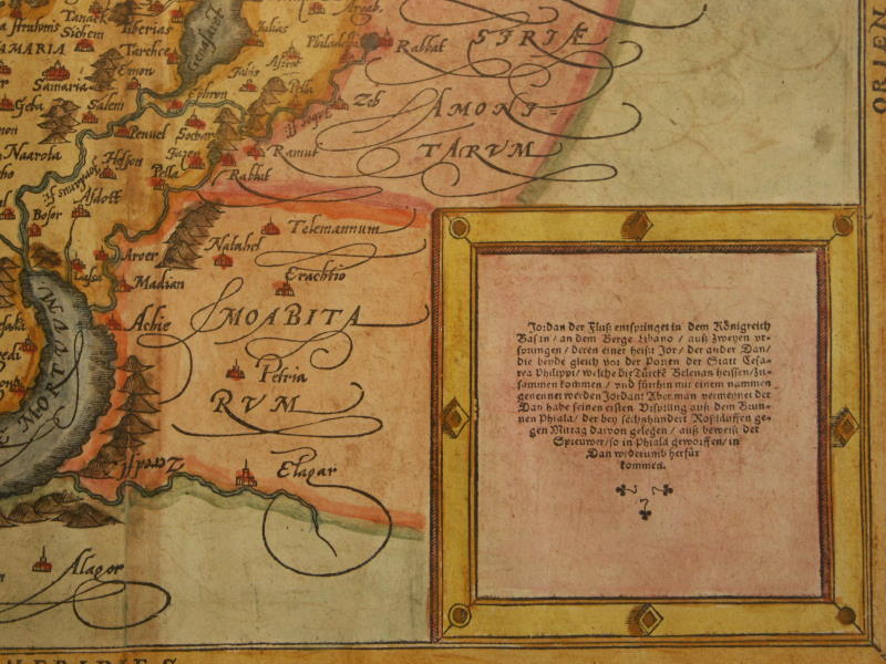
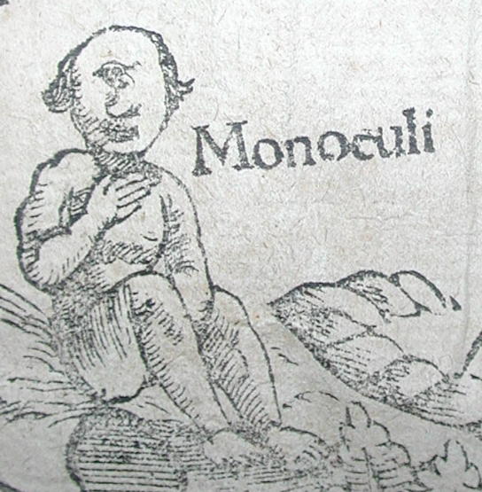
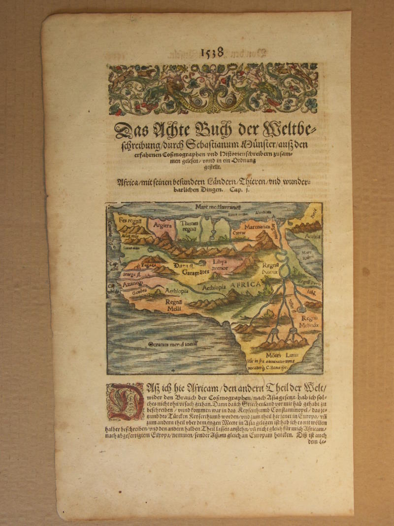
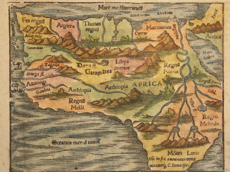
== *map of the Holy Land* (1600): *northwest*; *northeast*;*southwest*; *southeast*== *map of Africa* (1578); *detail: a Monoculi*
== *map of Africa (small)* (1600); *a closer view*
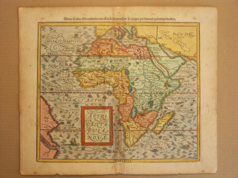
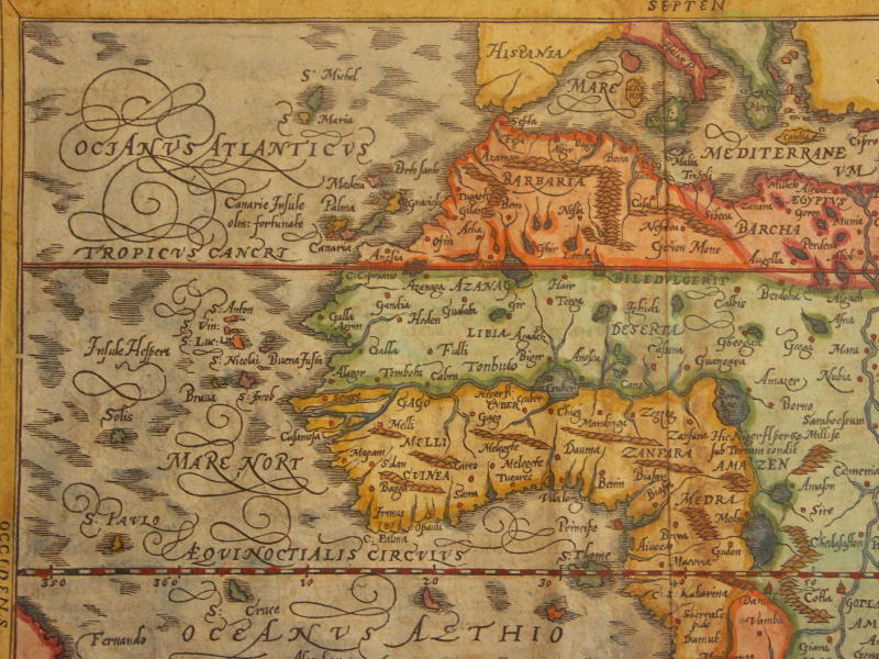
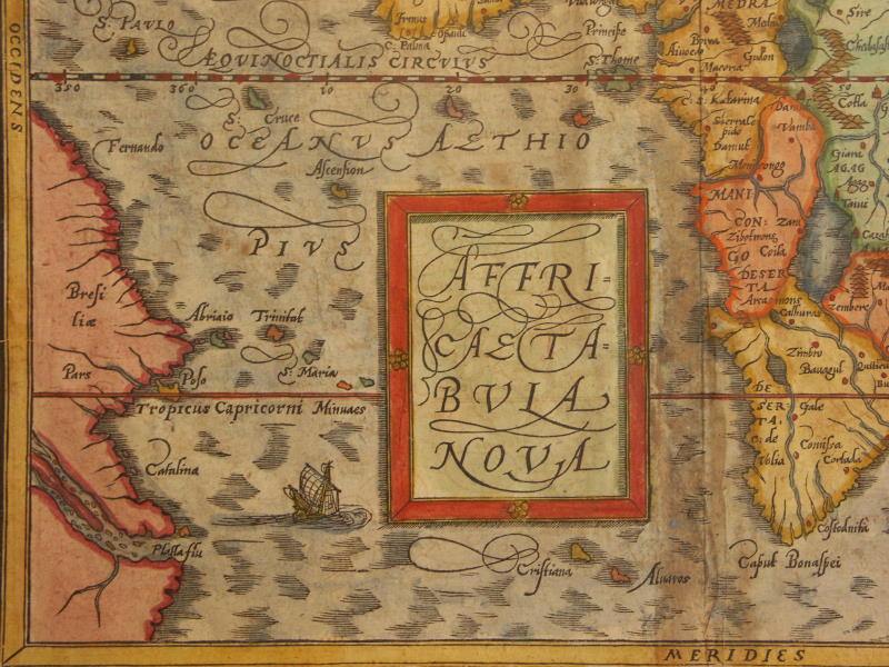
== *map of Africa* (1600): *northwest*; *northeast*;*southwest*; *southeast*
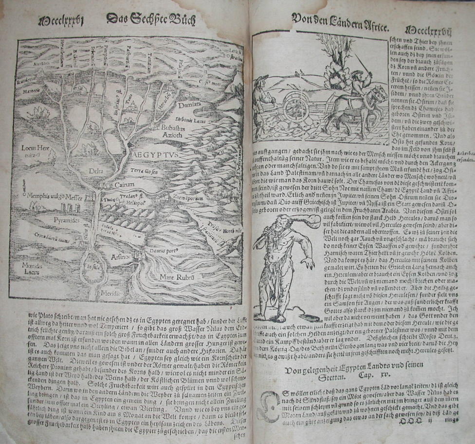
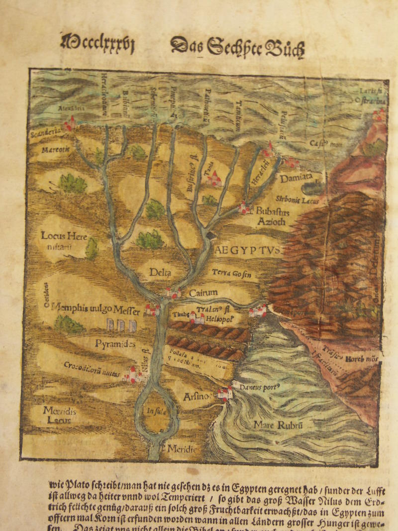
== *map of Egypt* (1578)
== *map of Egypt* (1580); *a closer view*
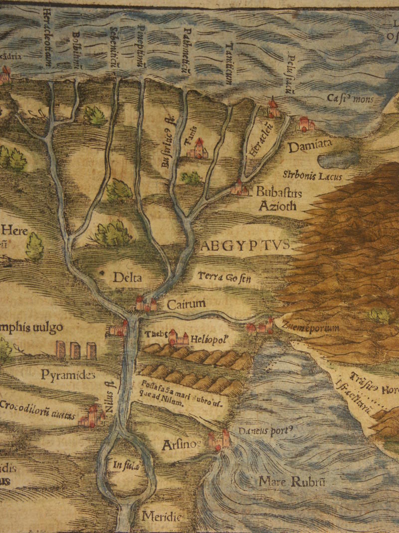
== *map of Egypt* (1600); *a closer view*
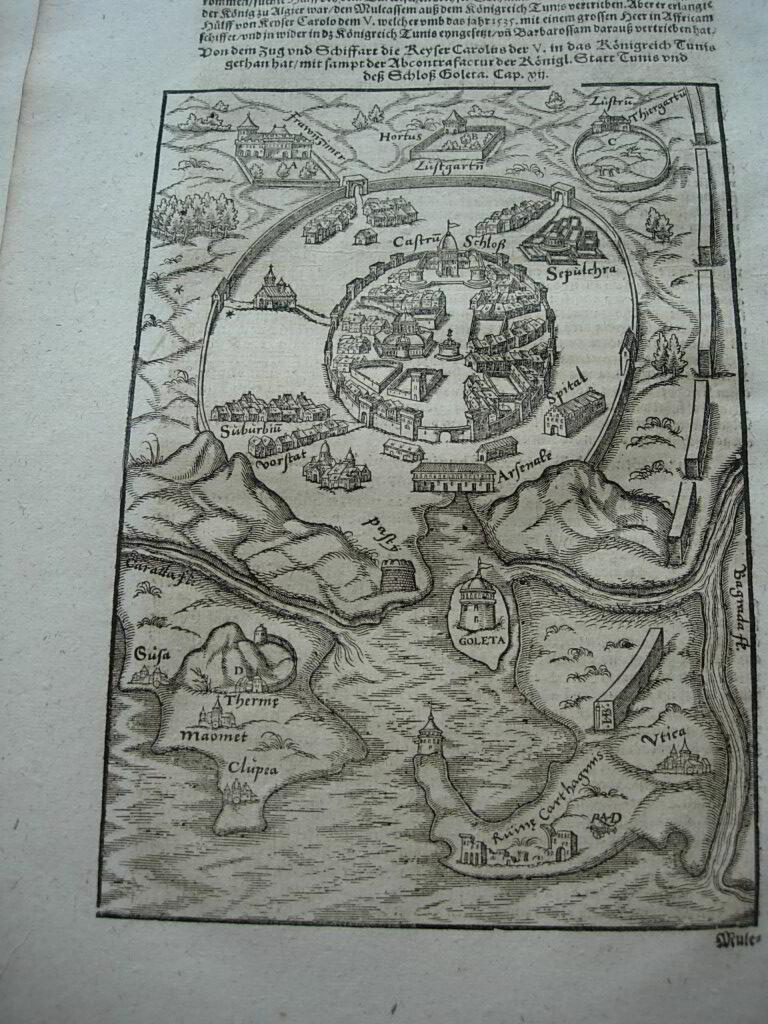
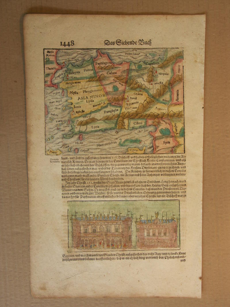
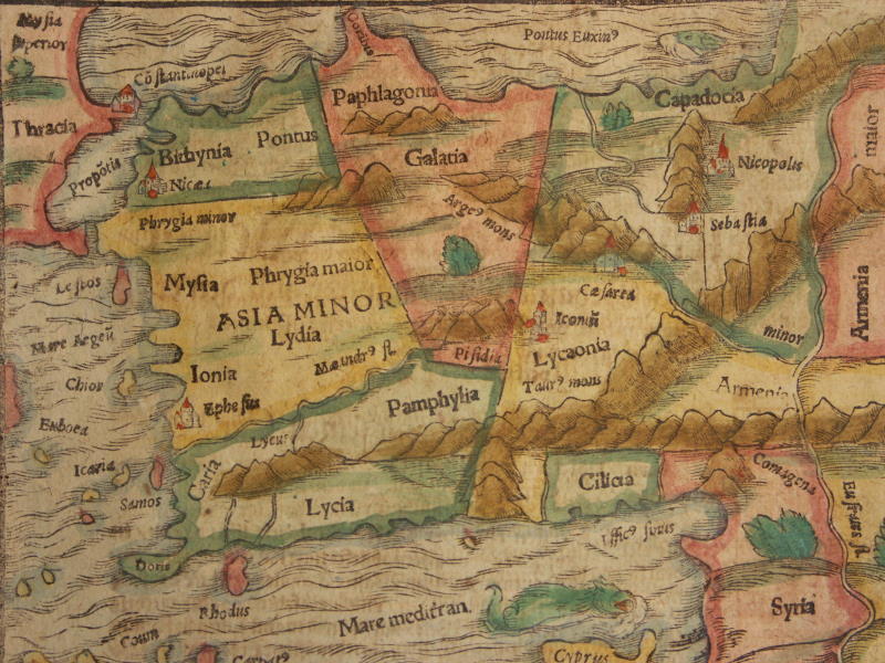
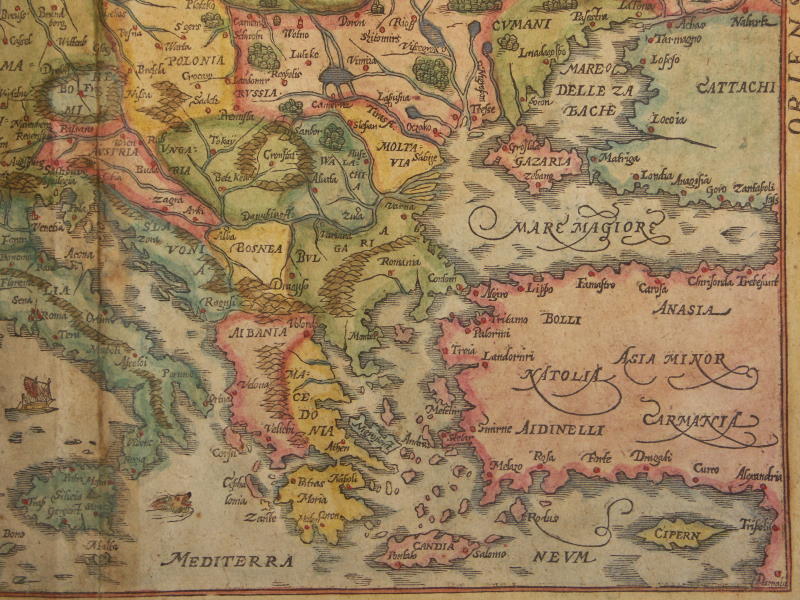
== *map of Tunis* (1628)== *map of Asia Minor* (1588)
== *map of Turkey* (1600); *a closer view*
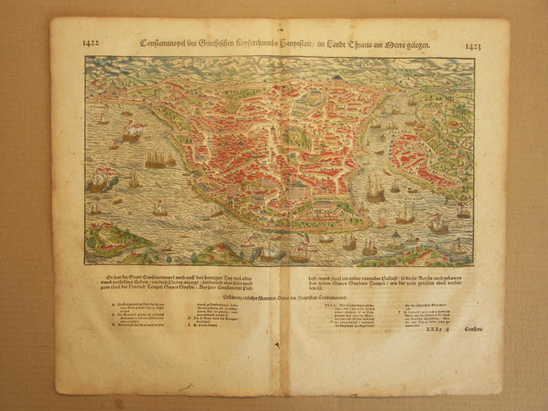
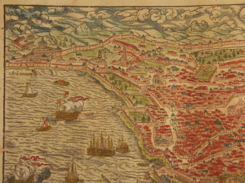
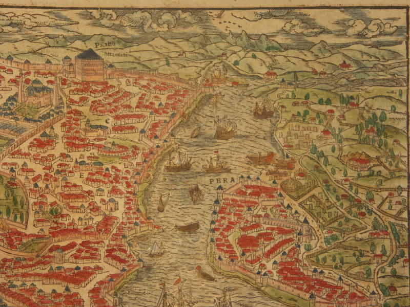
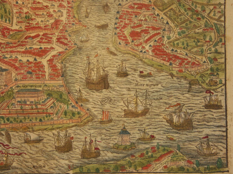
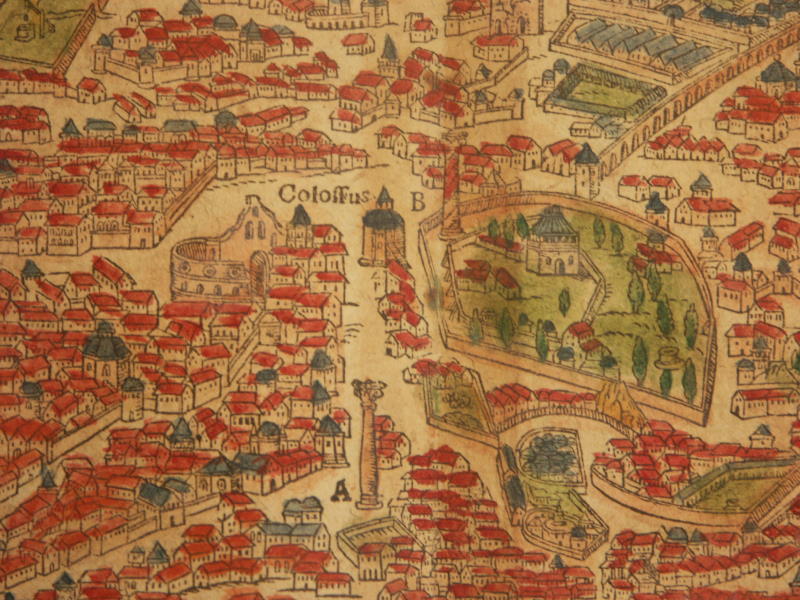
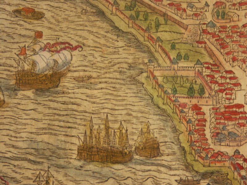
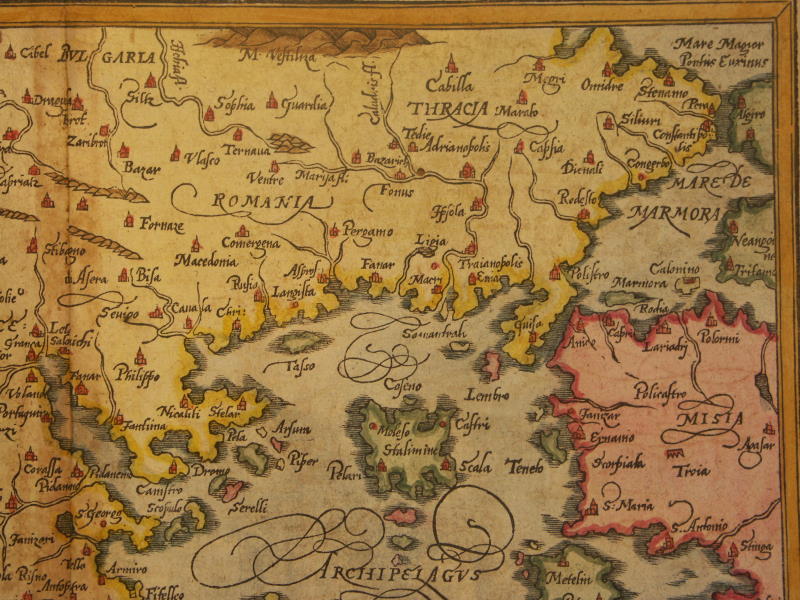
== *map of Byzantium* (1600): *upper left*; *upper right*; *lower left*; *lower right*; *detail 1*; *detail 2*; *detail 3*
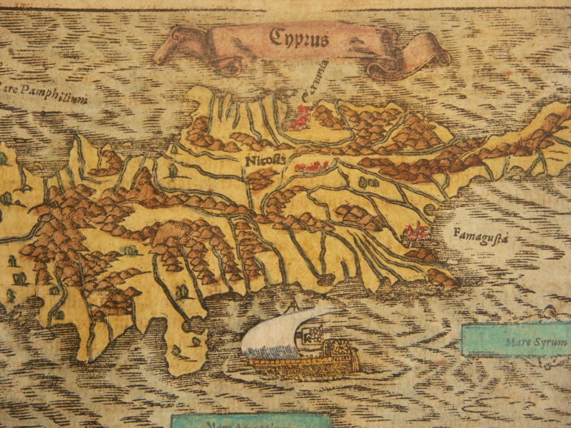
== *map of Cyprus* (1600)== *map of ancient Europe* (1567)
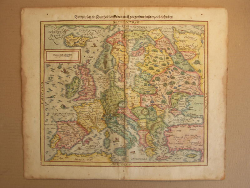
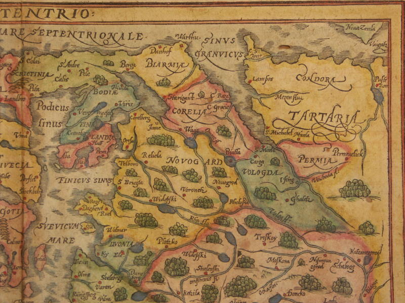
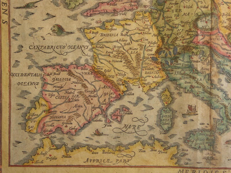
== *map of Europe* (1600): *northwest*; *northeast*; *southwest*; *southeast*
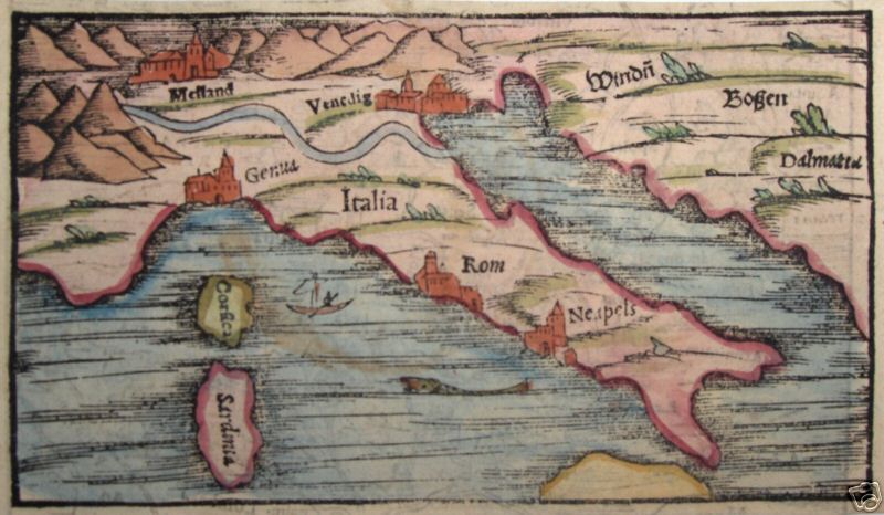
== *map of Italy* (1588)
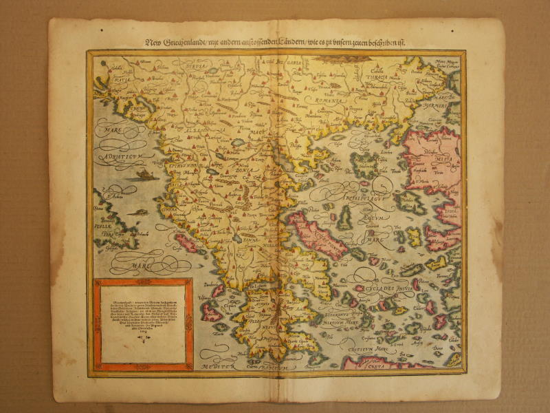
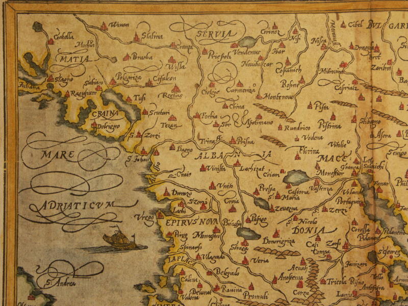
== *map of Greece* (1600): *northwest*; *northeast*;*southwest*; *southeast*
== *map of Crete* (1588)== *map of eastern Europe* (1628)
== *map of Transylvania, Romania (small)* (1600); *a closer view*
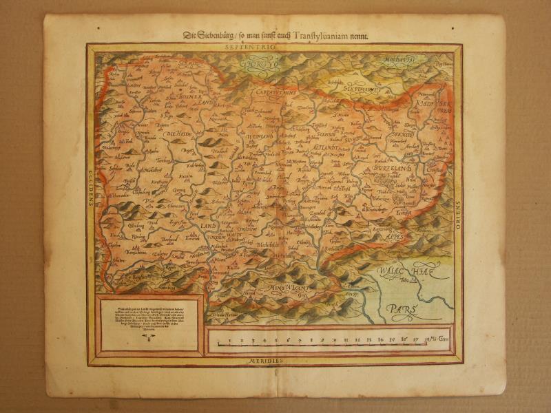
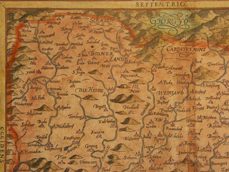
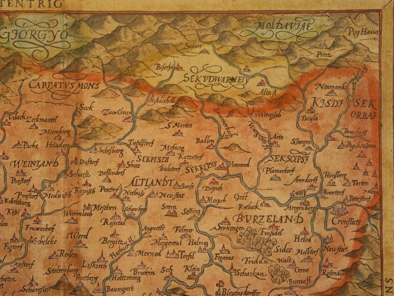
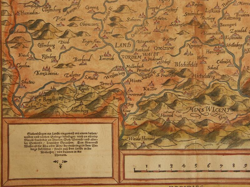
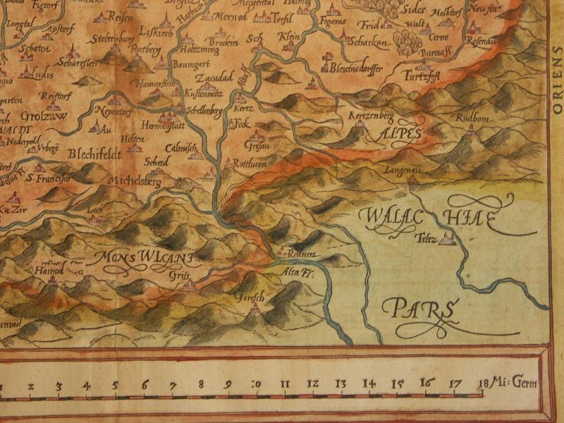
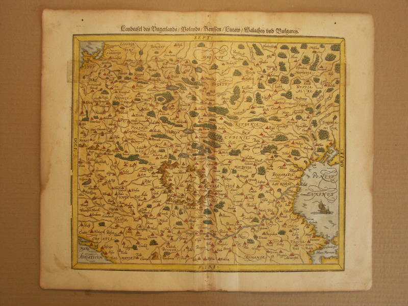
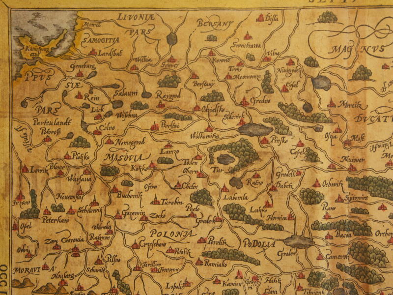
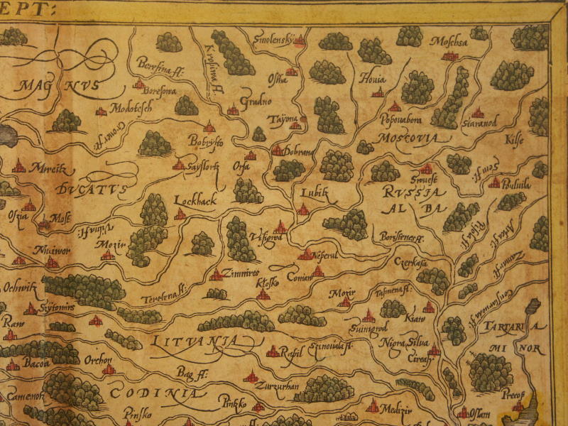
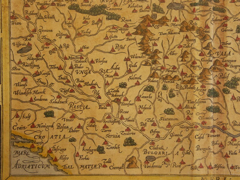
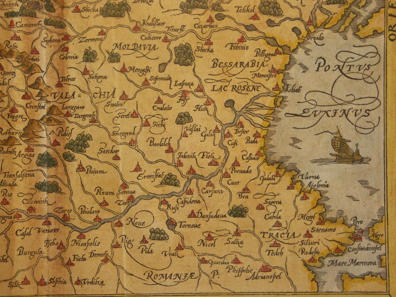
== *map of Transylvania* (1600): *northwest*; *northeast*;*southwest*; *southeast*
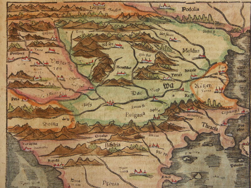
== *map of Hungary and its region* (1600): *northwest*; *northeast*;*southwest*; *southeast*
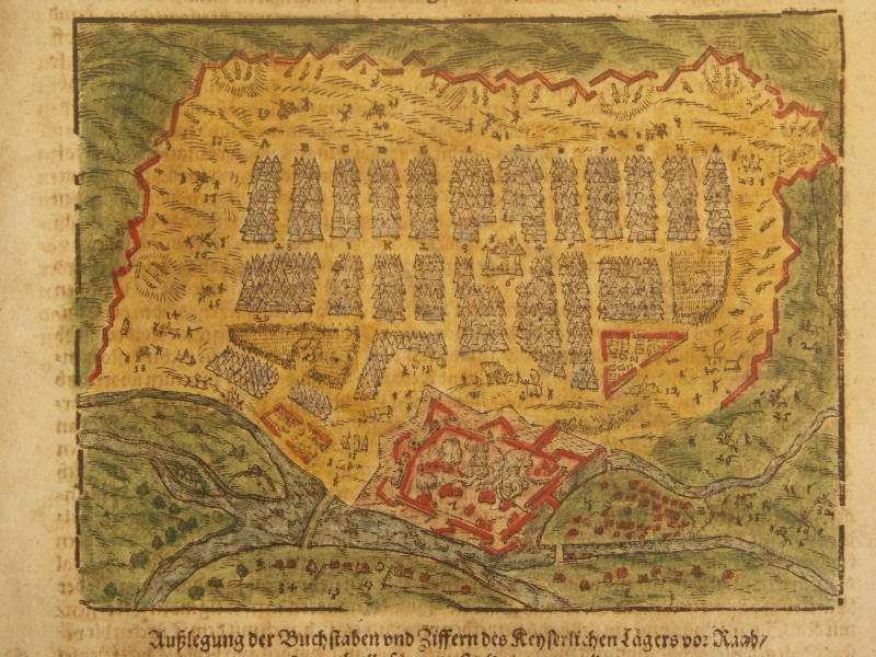
== *map of Gyor, Hungary* (1600)
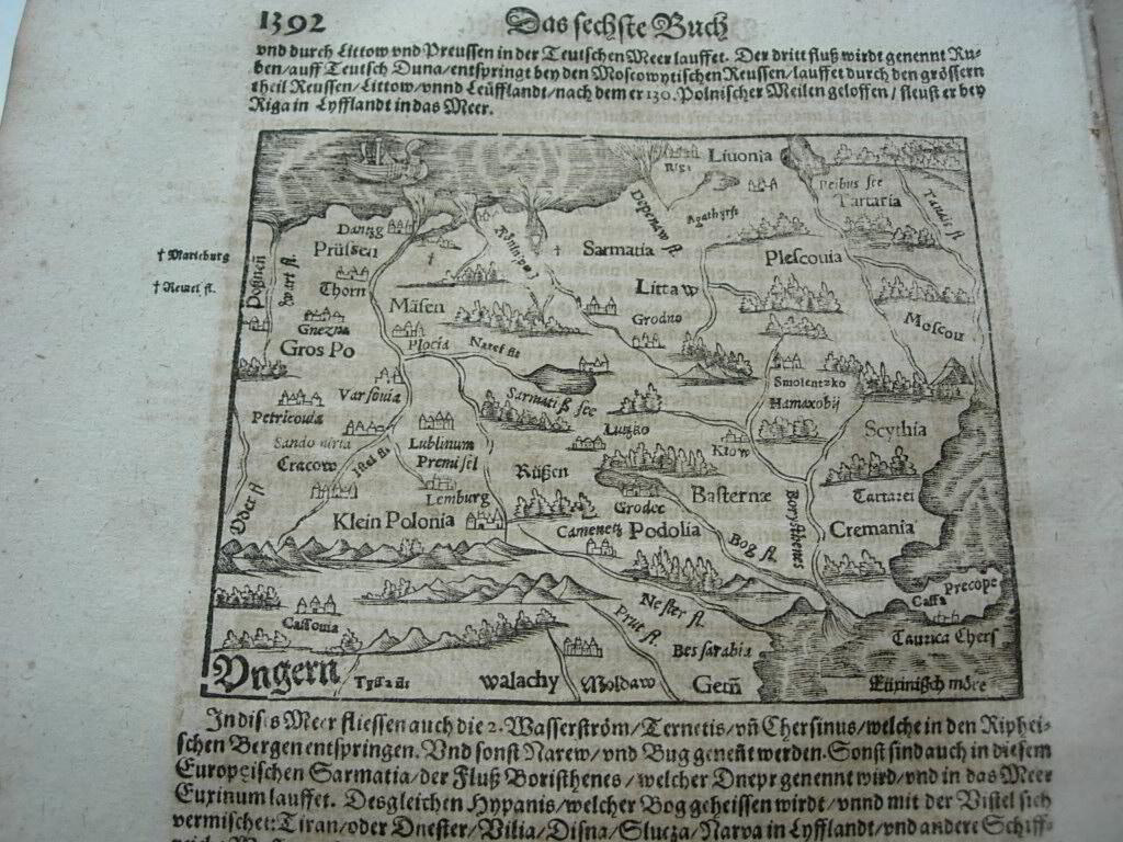
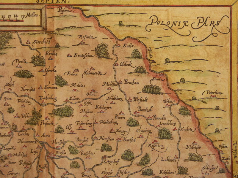
== *map of Poland* (1600)
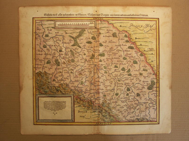
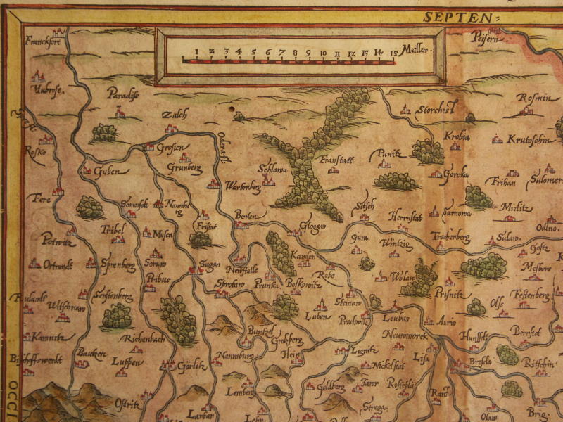
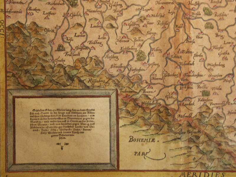
== *map of Silesia* (1600): *northwest*; *northeast*; *southwest*; *southeast*
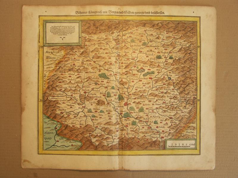
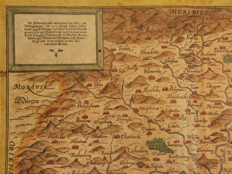
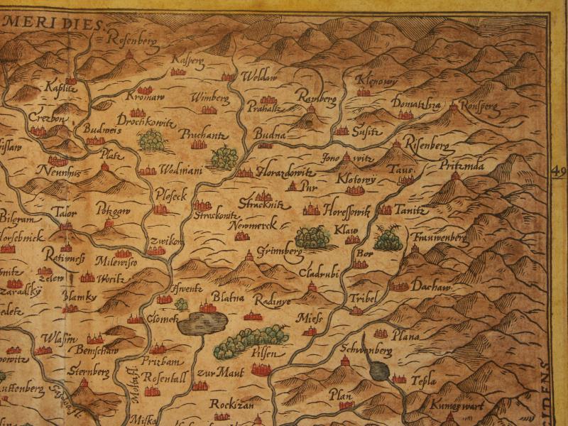
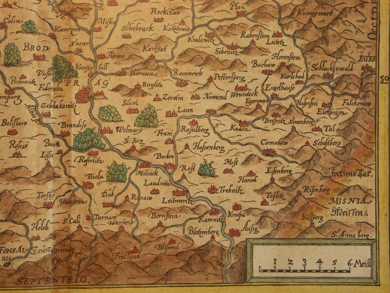
== *map of Bohemia (Czech Republic)* (1600): *northwest*; *northeast*; *southwest*; *southeast*
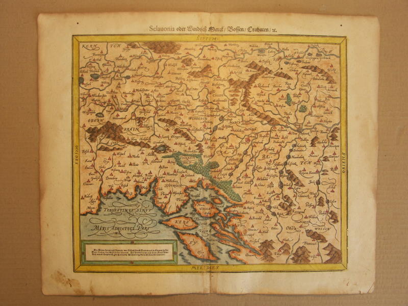
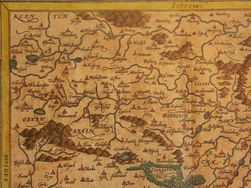
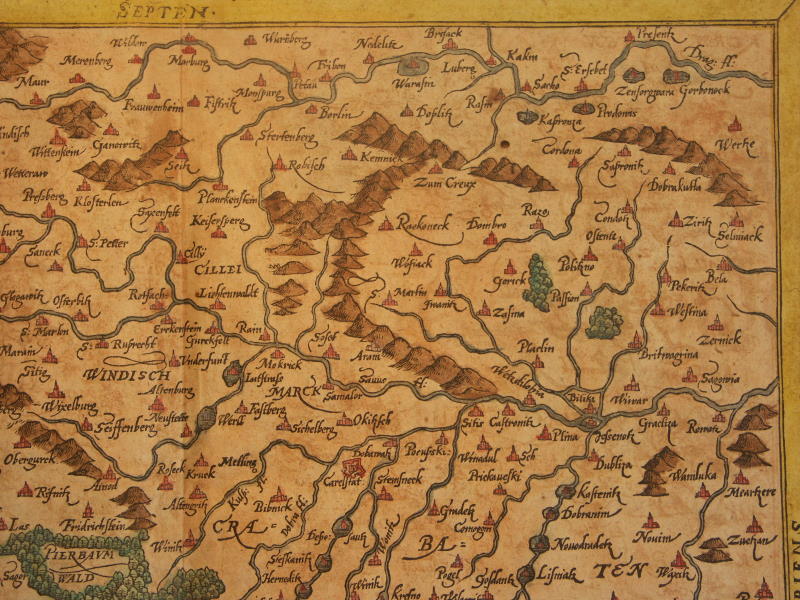
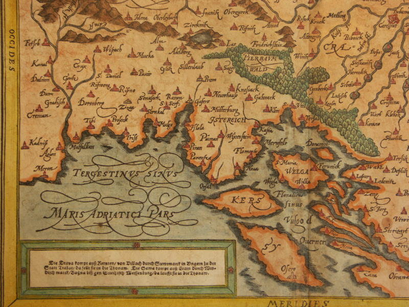
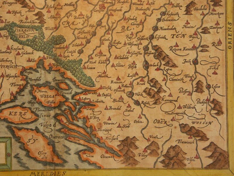
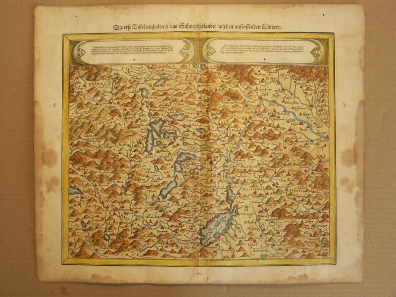
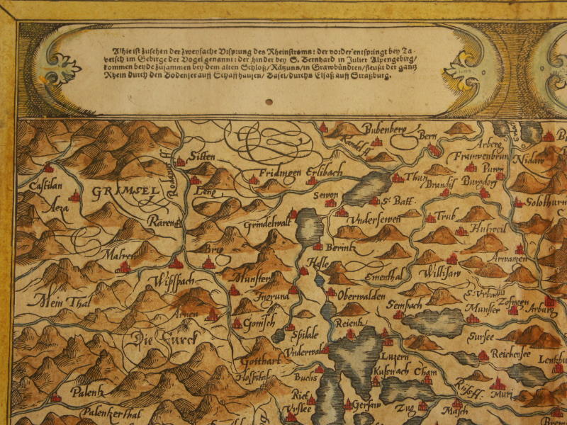
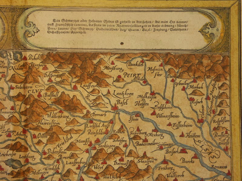
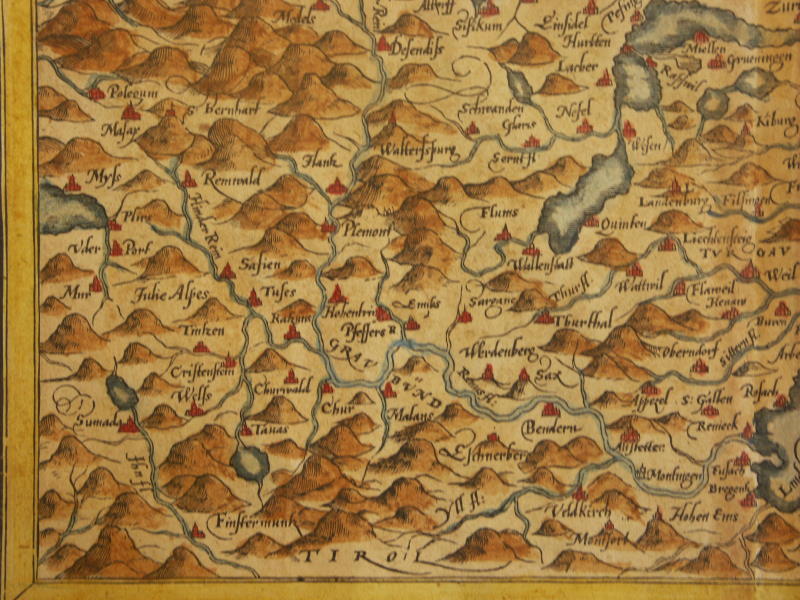
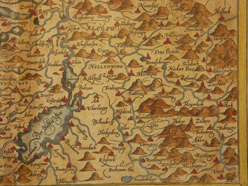
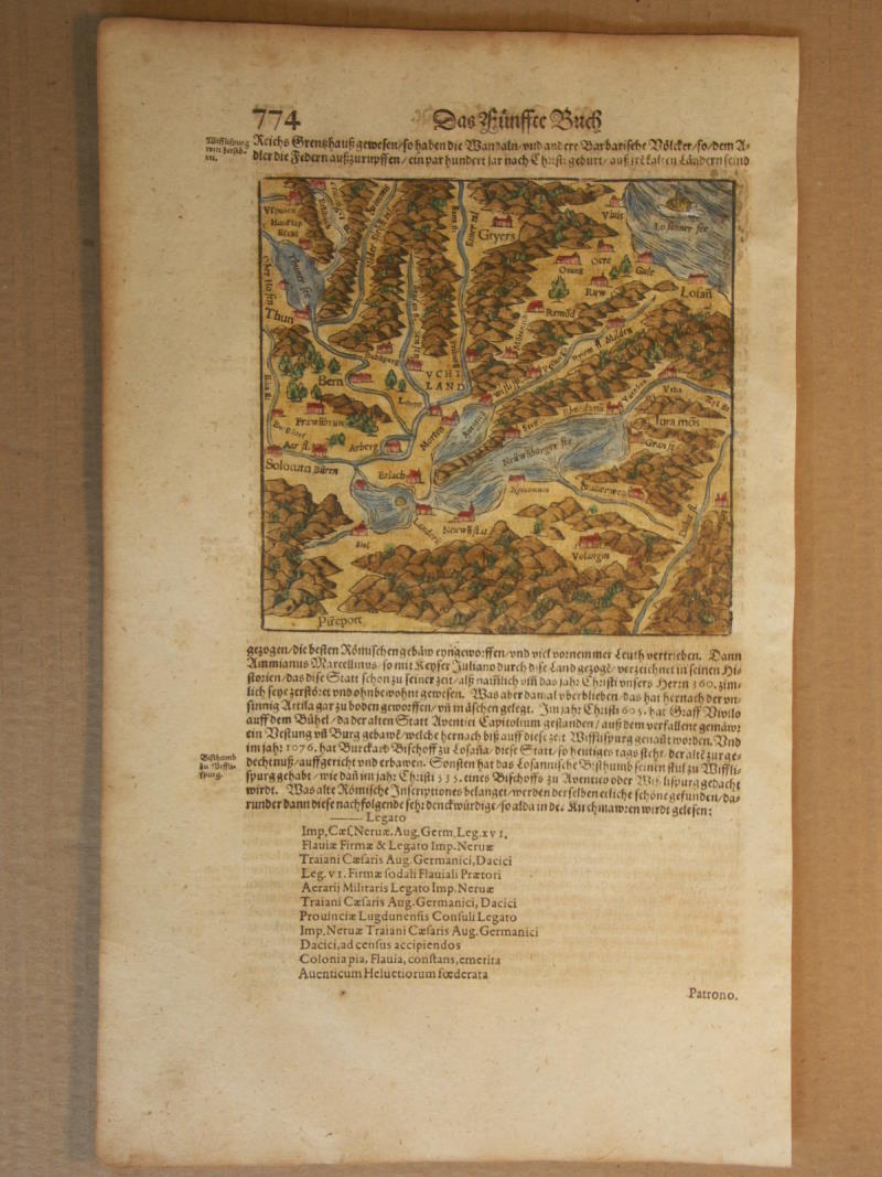
== *map of Slavonia (ex-Yugoslavia)* (1600): *northwest*; *northeast*; *southwest*; *southeast*== *map of Switzerland* (1600): *northwest*; *northeast*;*southwest*; *southeast*
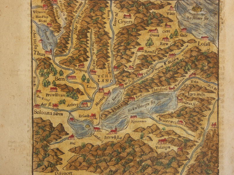
== *map of western Switzerland* (1600); *a closer view*
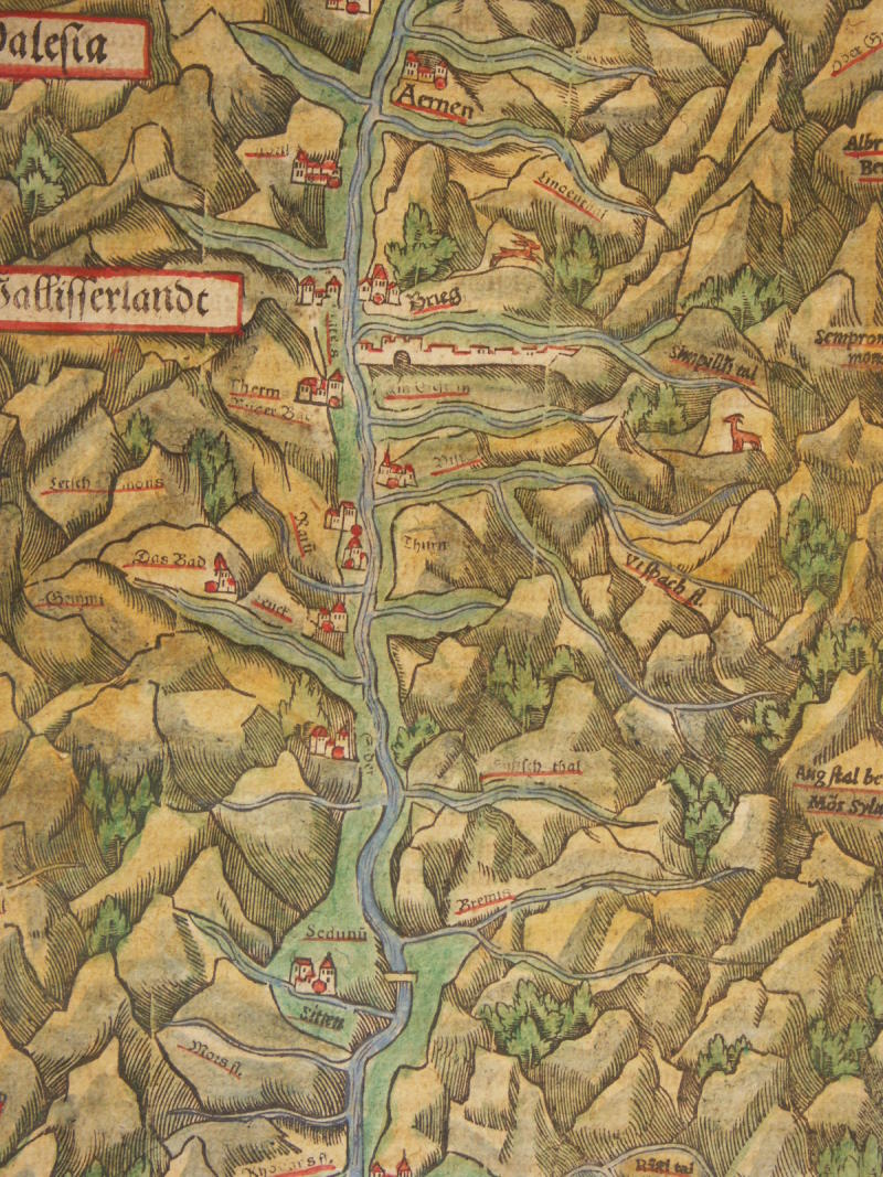
== *map of Wallisserland, Switzerland* (1600); *a detail*
== *map of the Bern region* (1600)
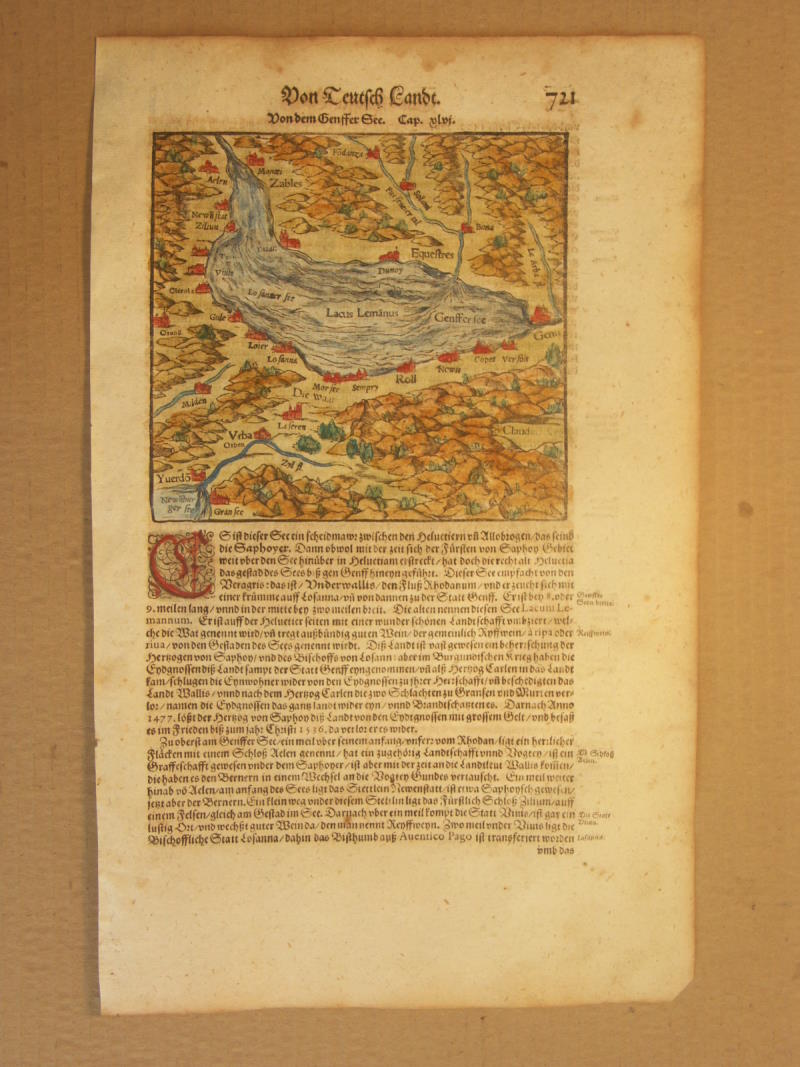
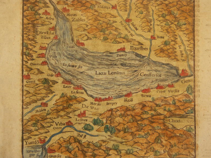
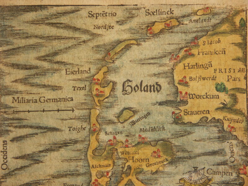
== *map of Lake Geneva* (1600); *a closer view*== *map of the Benelux countries* (1600): *north*; *south*
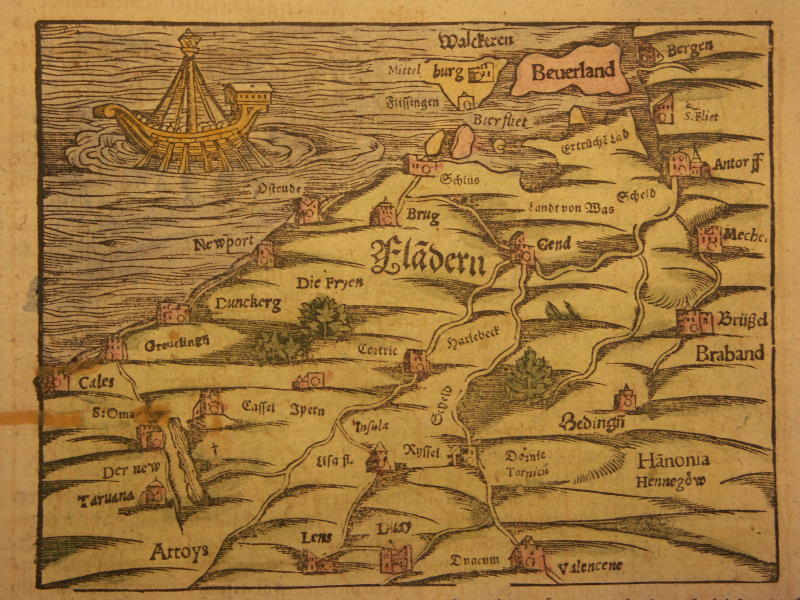
== *map of the Flanders region* (1600)
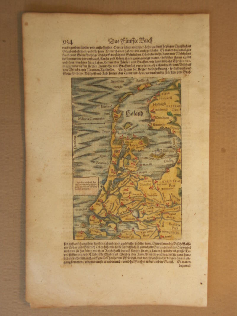
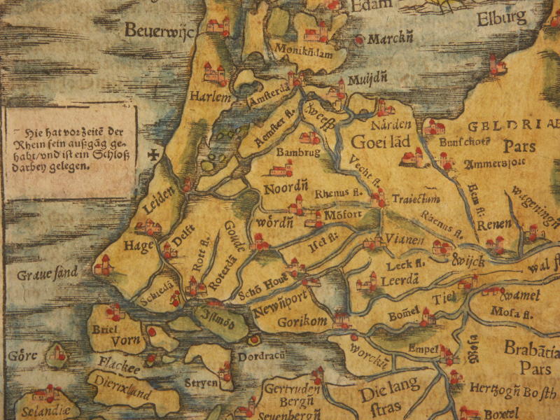
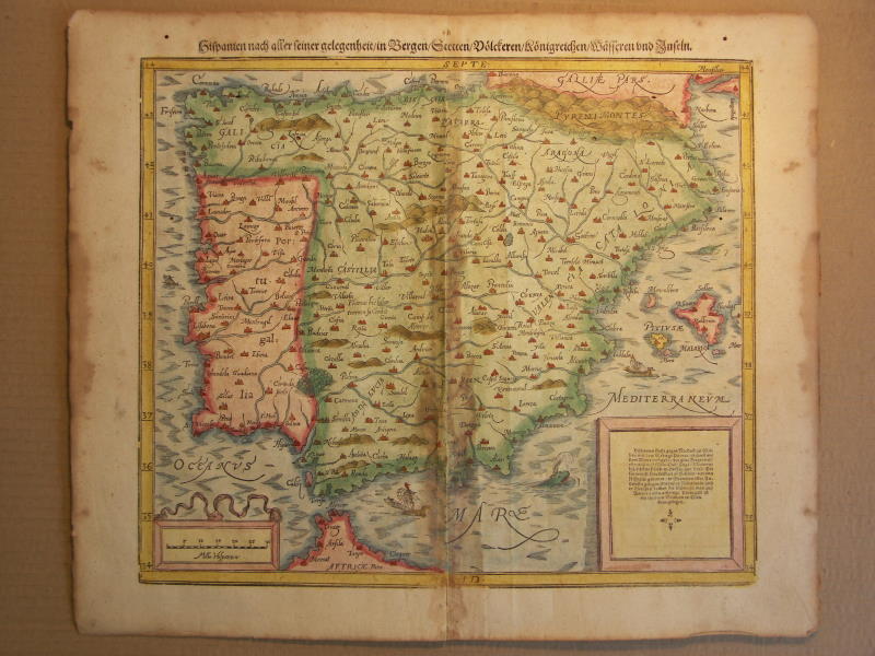
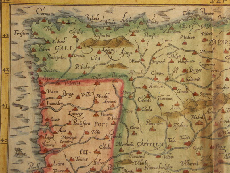
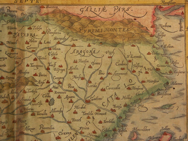
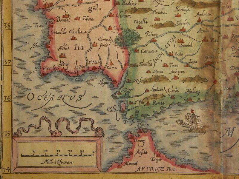
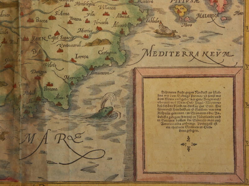
== *map of Utrecht* (1600)== *map of Spain and Portugal* (1600): *northwest*; *northeast*; *southwest*; *southeast*
== *map of the Americas* (1553)
== *map of the Americas* (1578)
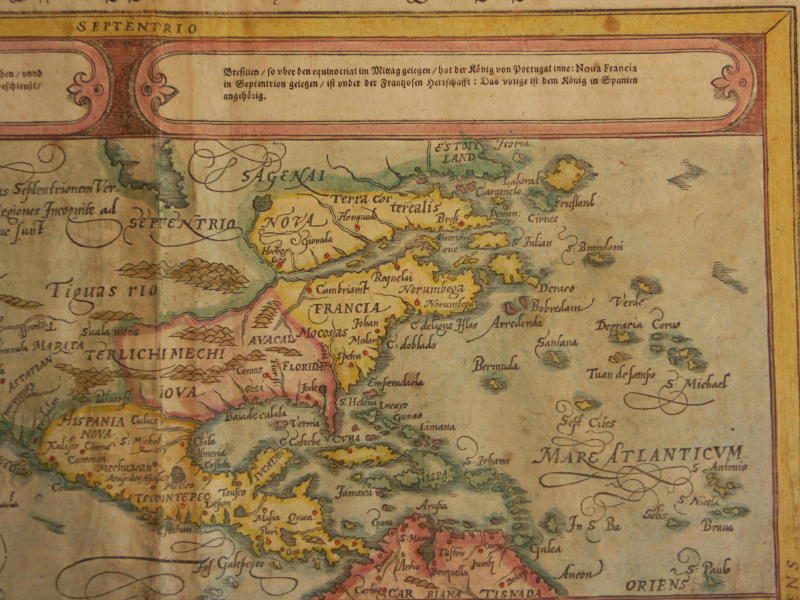
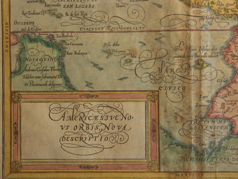
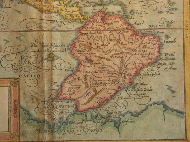
== *map of the Americas* (1600): *northwest*; *northeast*; *southwest*; *southeast*
== Munster index page == fwp's main page ==