ATLAS MAPS, LATER 1600's, EARLY 1700's
ATLAS MAPS, LATER 1600's, EARLY 1700's
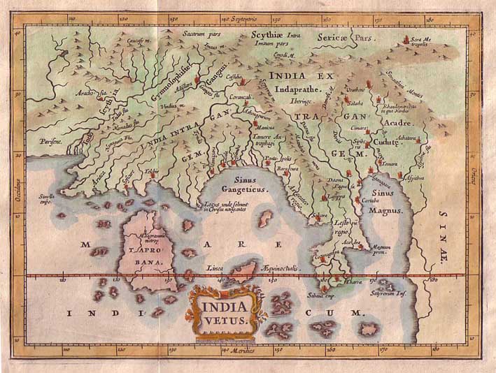
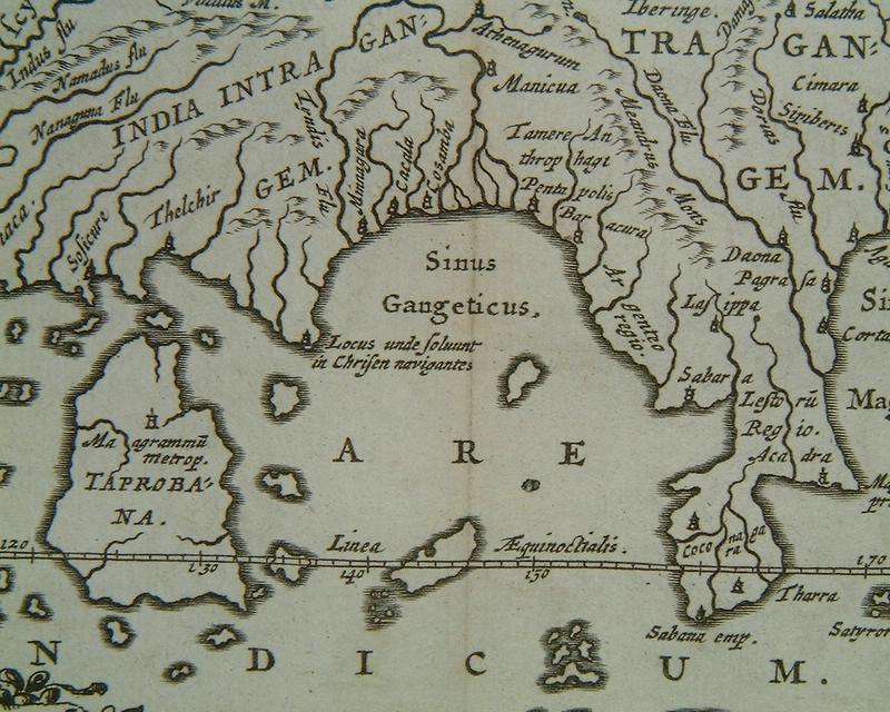
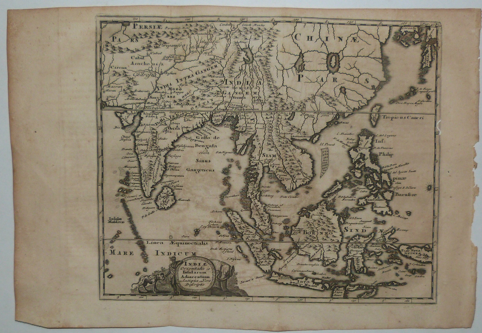
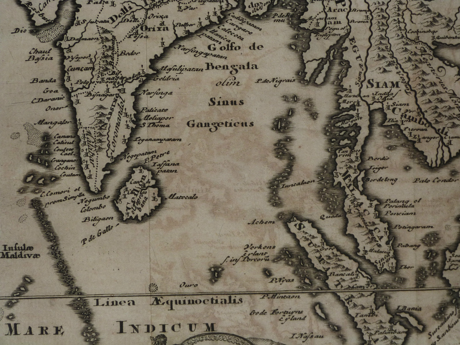
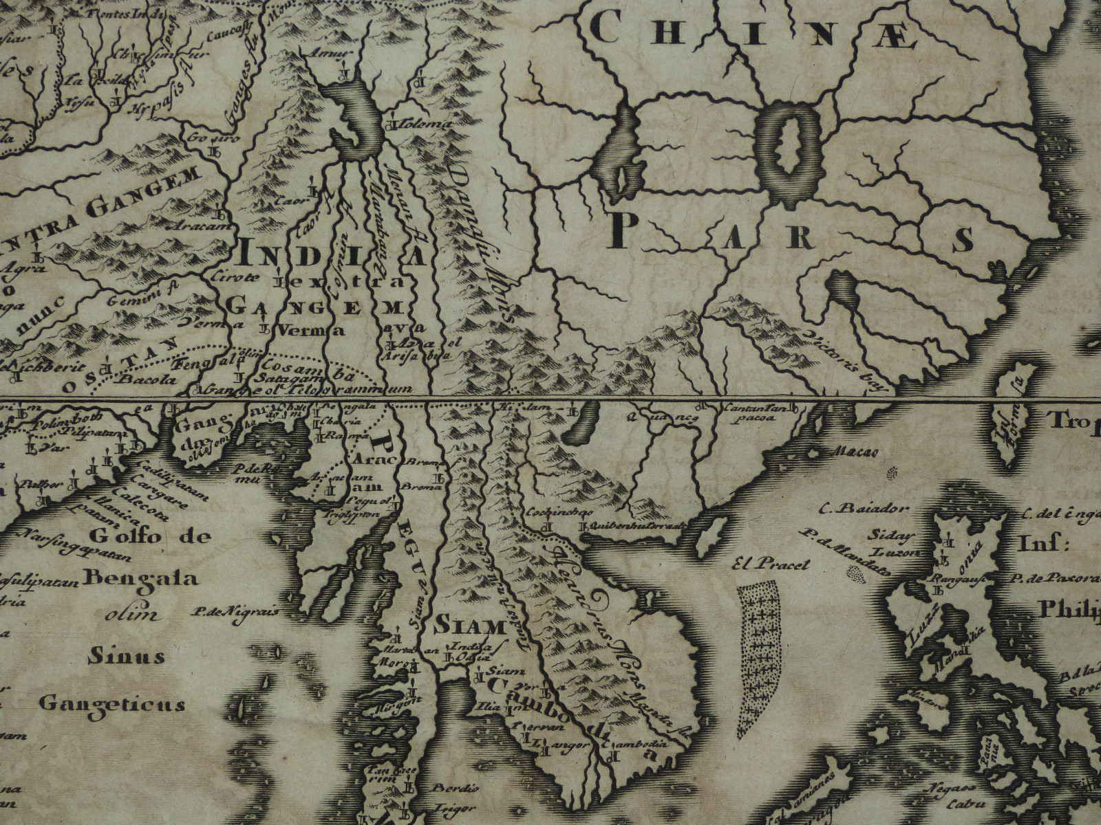
*Philipp Clüver* (1580-1623) compiled miniature atlases that were reprinted throughout the 1600's; here's a Ptolemaic map of ancient South and Southeast Asia (1678): *a larger, uncolored version*; *a closeup of South and Southeast Asia*
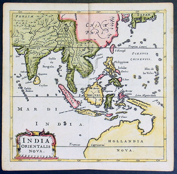
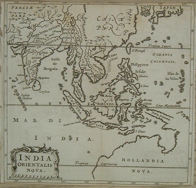
Cluver's own modern miniature map of the region (1659); *a larger, uncolored view*
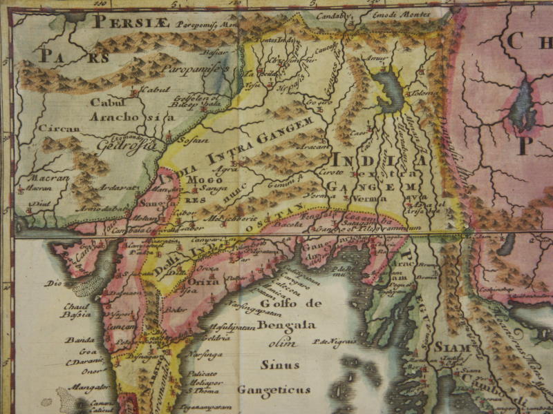
A "hybrid" map by Cluver from an atlas published in 1661, showing, both ancient and modern place names
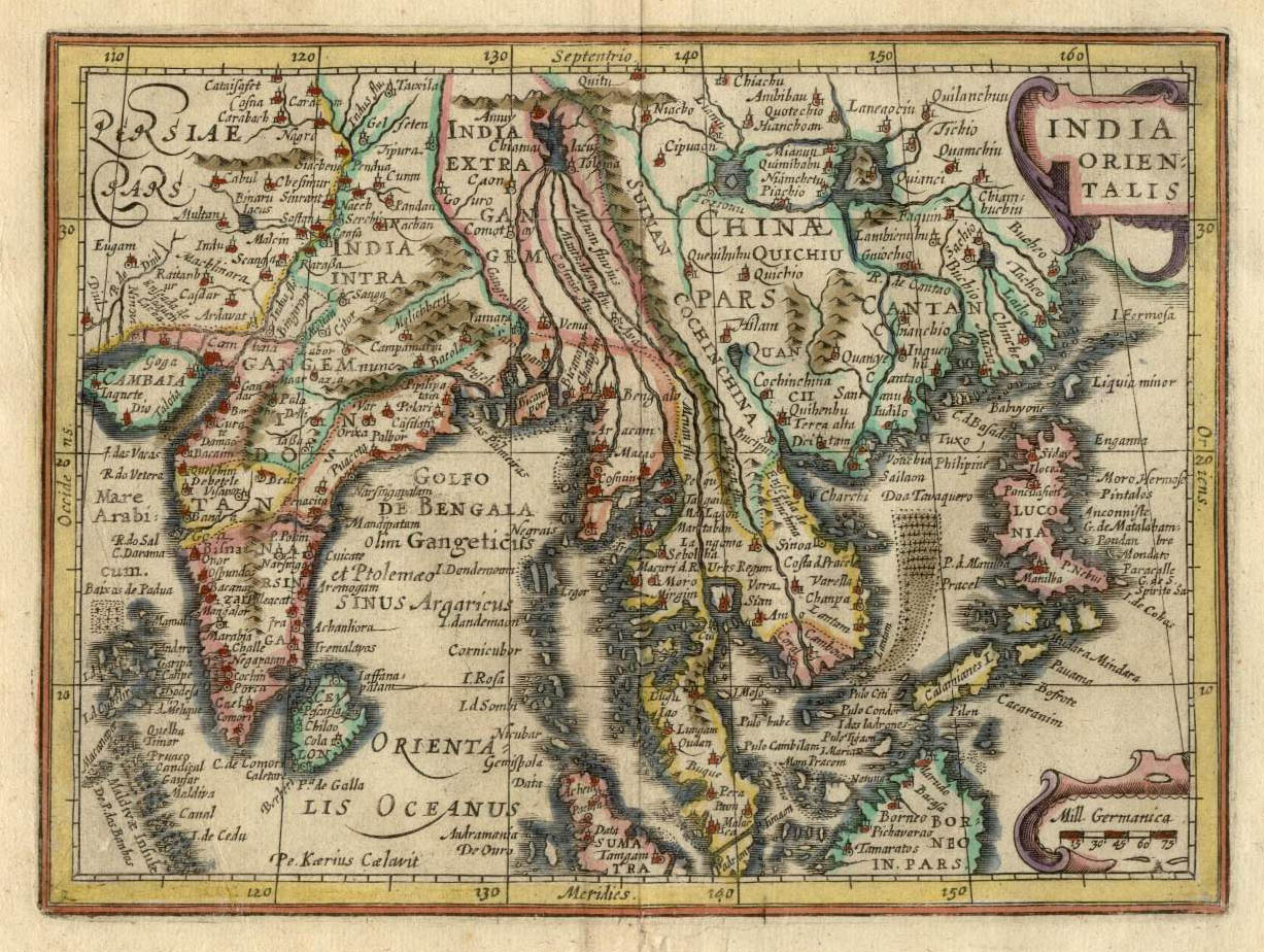
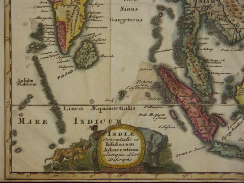
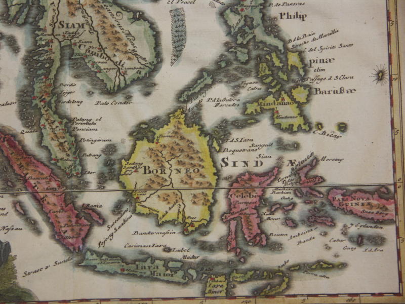
Cluver's "hybrid" version of South and Southeast Asia from a later atlas published in 1697, with ancient and modern places displayed on a single map: *the whole map*; *northwest* (shown above); *northeast*; *southwest*; *southeast*; the same map from 1690: *a very large, uncolored scan*; *the Bay of Bengal*; *the mythical inland lake*
More such republished miniature maps by Cluver
(with
modern
hand coloring), mostly from editions of 1661-1711, including
"hybrid"
maps
showing both ancient and modern place names:
==*Asia (1652)* (modern); =*Asia (1659)* (modern)
==*Asia (hybrid) (1697)*: *northwest*; *northeast*; *southwest*; *southeast*
==*Asia (hybrid) (1711)*: *northwest*; *northeast*; *southwest*; *southeast*
=*China*
=*China (modern) (1711)*: *northwest*; *northeast*; *southwest*; *southeast*
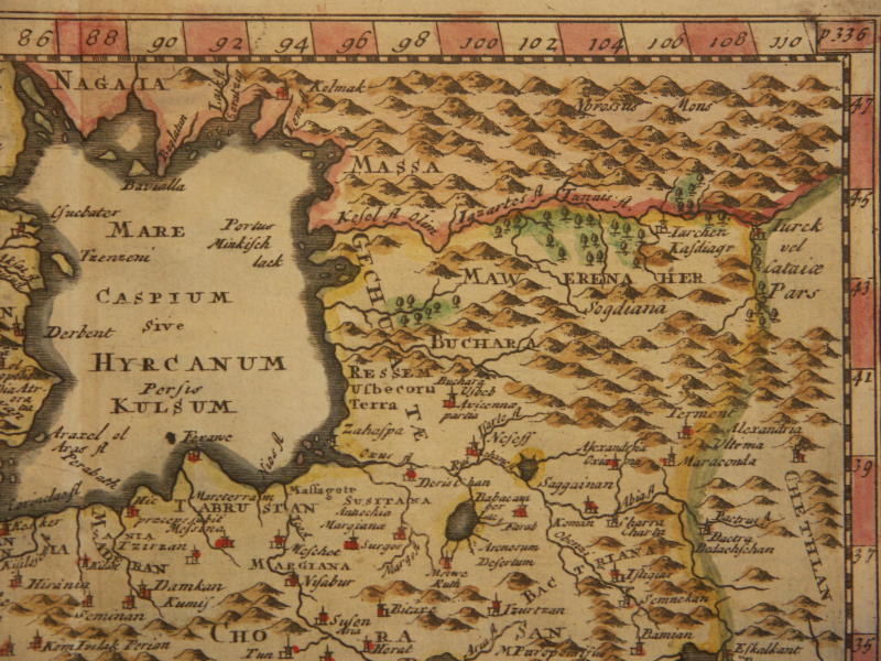
==*Tartary (hybrid) (1711)*: *northwest*; *northeast*; *southwest*; *southeast*
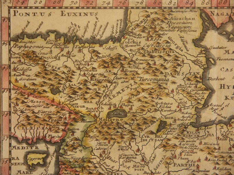
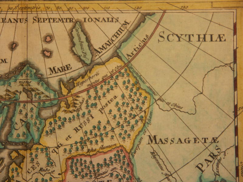
==*ancient Sarmatia and Scythia (1711)*: *northwest*; *northeast*; *southwest*; *southeast*
==*Scandinavia (hybrid) (1711)*: *northwest*; *northeast*; *southwest*; *southeast*
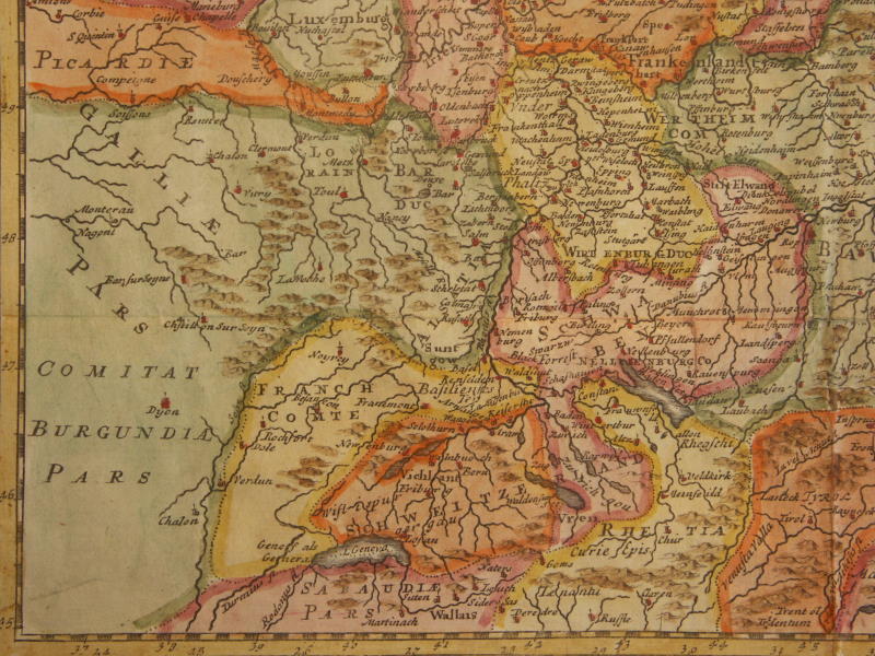
==*ancient Switzerland (1711)*: *northwest*; *northeast*; *southwest*; *southeast*
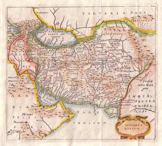
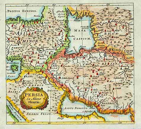
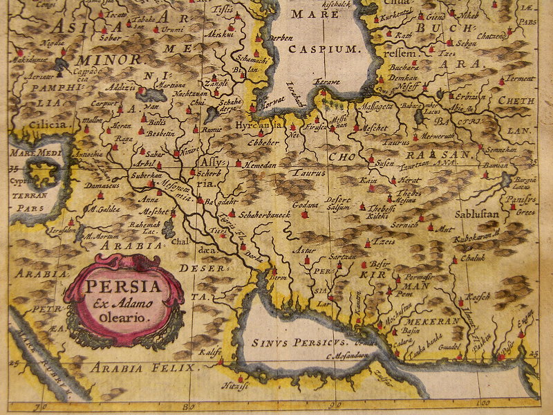
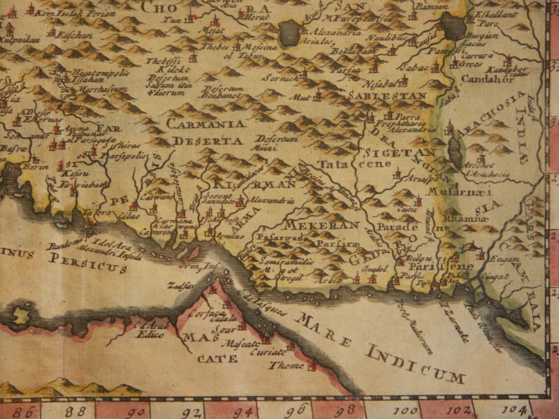
=*Denmark (1711)*: *northwest*; *northeast*; *southwest*; *southeast*=*Persia (1652)*; =*Persia 1686, north*; *Persia 1686, south*
=*Persia (modern) (1711)*: *northwest*; *northeast*; *southwest*; *southeast*
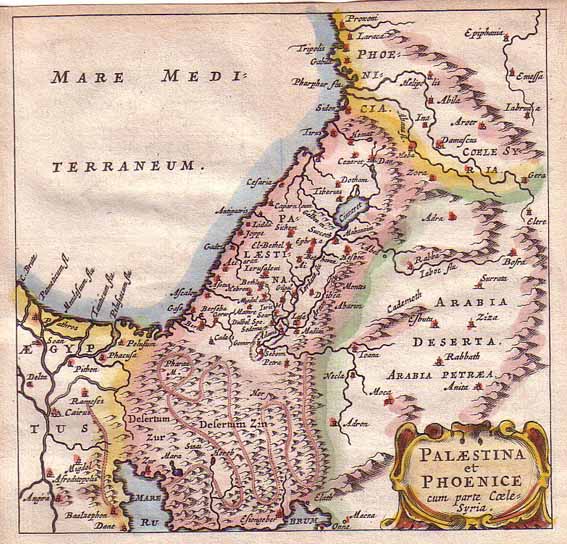
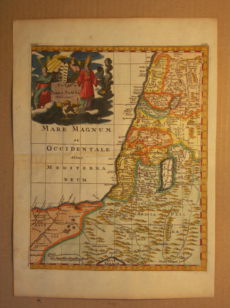
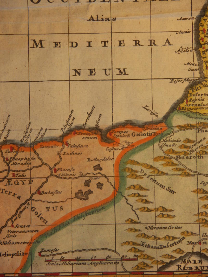
=*the Holy Land*; =*the Mediterranean coast and the Holy Land*
==*ancient Holy Land (1711)*: *northwest*; *northeast*; *southwest*; *southeast*
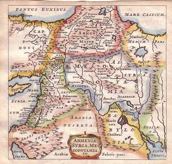
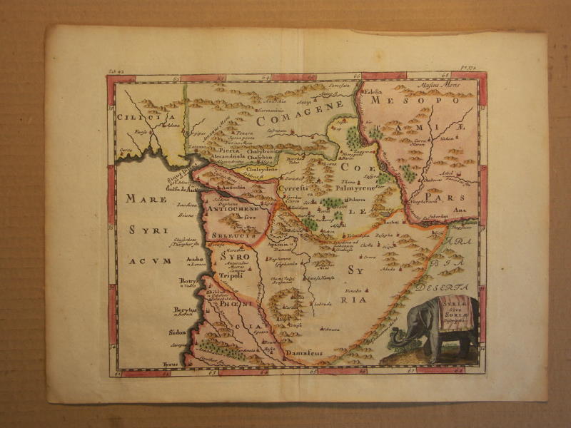
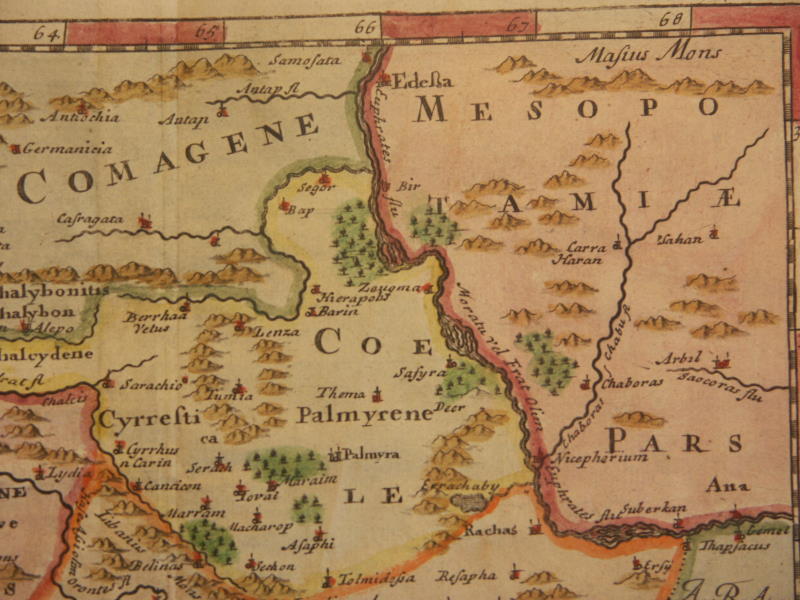
=*Syria (1711)*: *northwest*; *northeast*; *southwest*; *southeast*
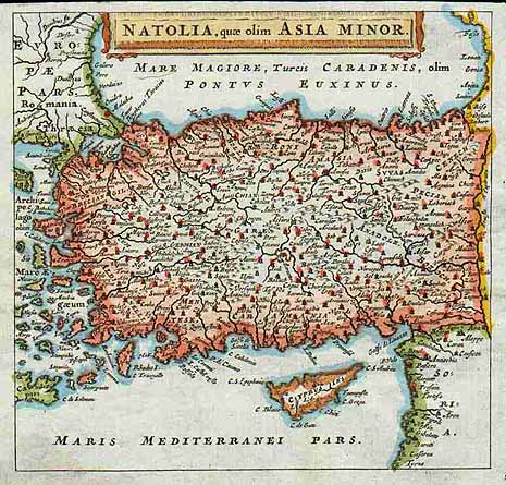
=*Asia Minor*
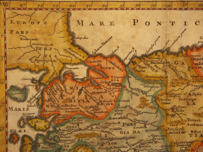
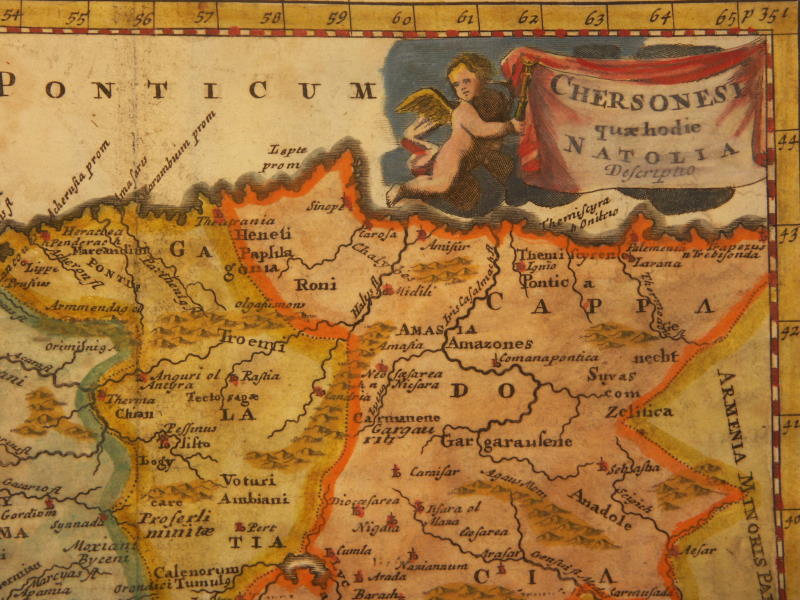
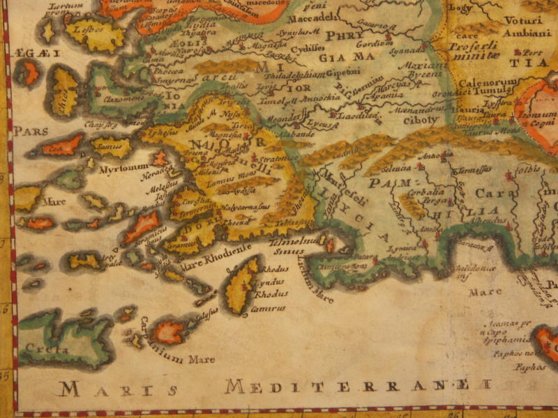
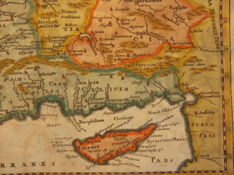
==*ancient Anatolia (1711)*: *northwest*; *northeast*; *southwest*; *southeast*
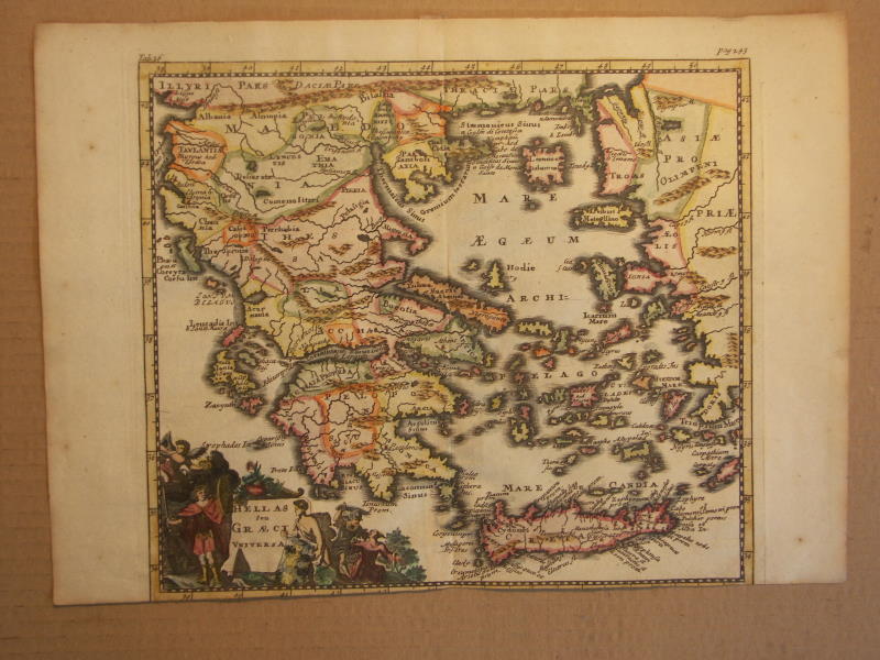
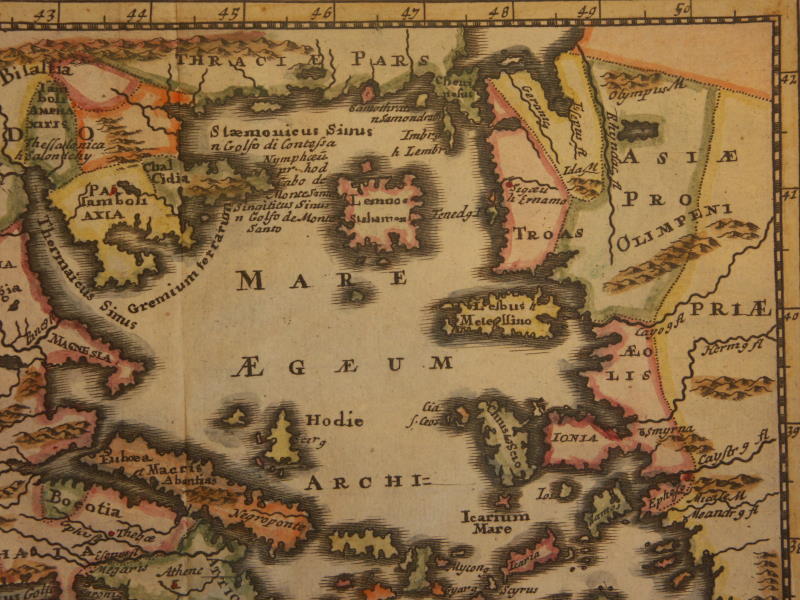
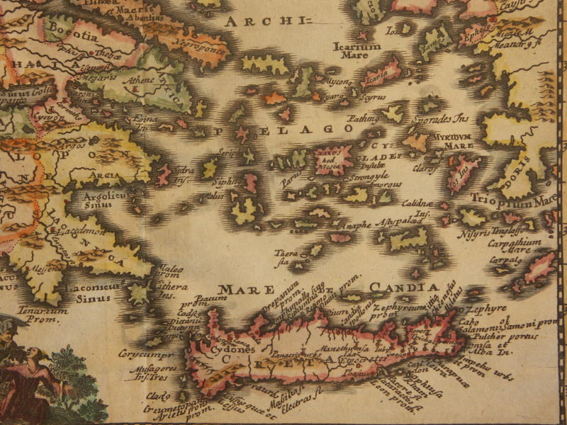
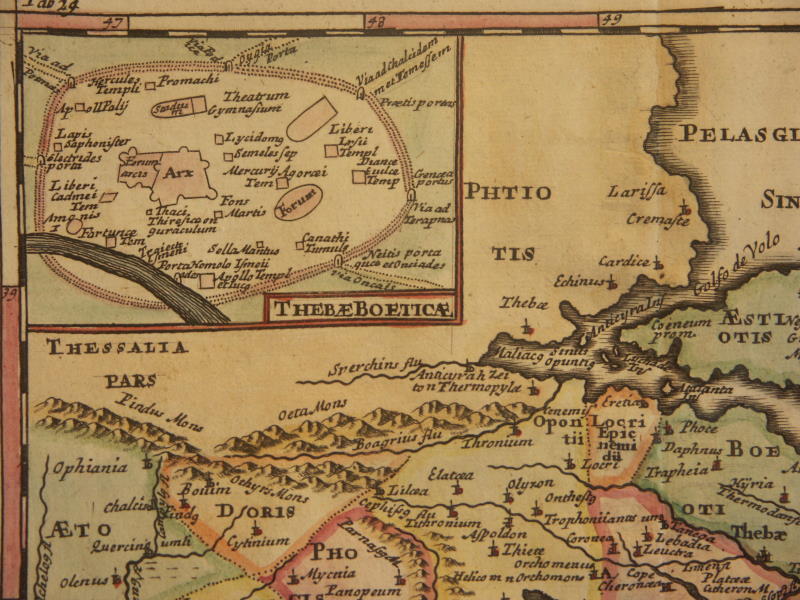
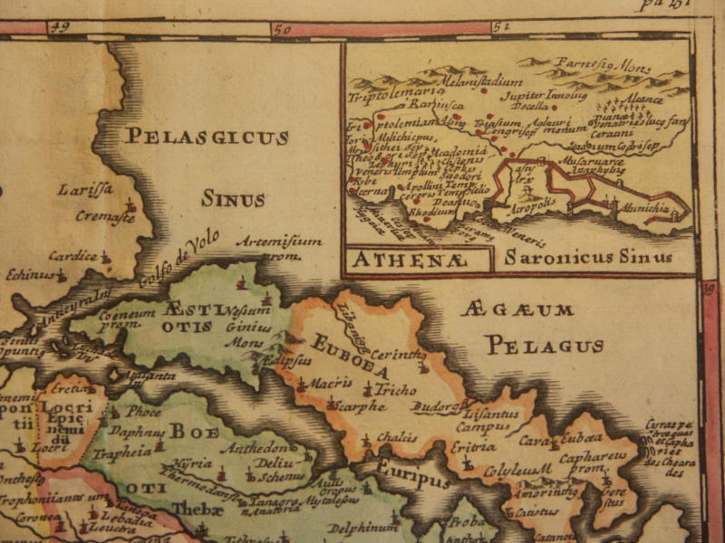
==*ancient Greece (1711)*: *northwest*; *northeast*; *southwest*; *southeast*
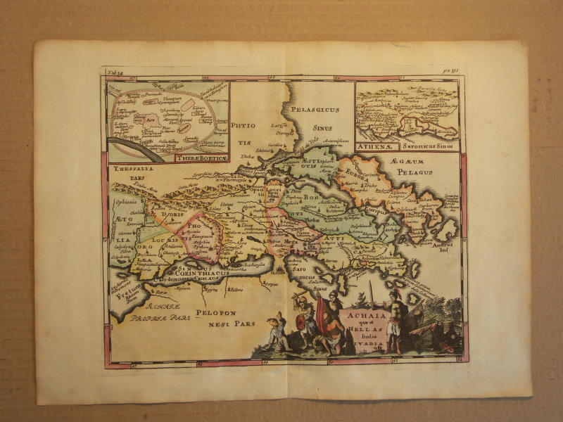
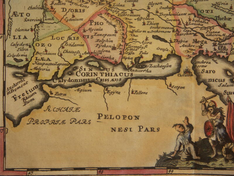
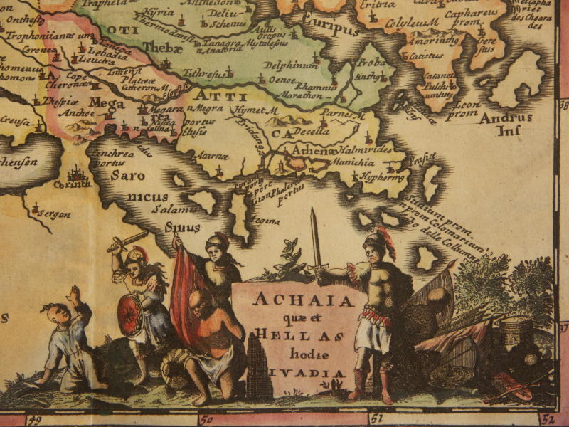
==*ancient Achaia (1711)*: *northwest*; *northeast*; *southwest*; *southeast*
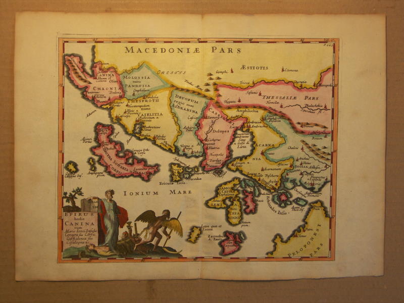
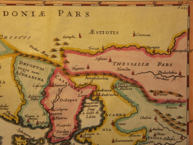
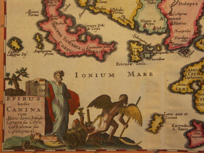
==*ancient Ionian islands (1711)*: *northwest*; *northeast*; *southwest*; *southeast*
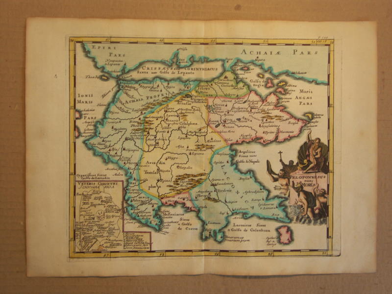
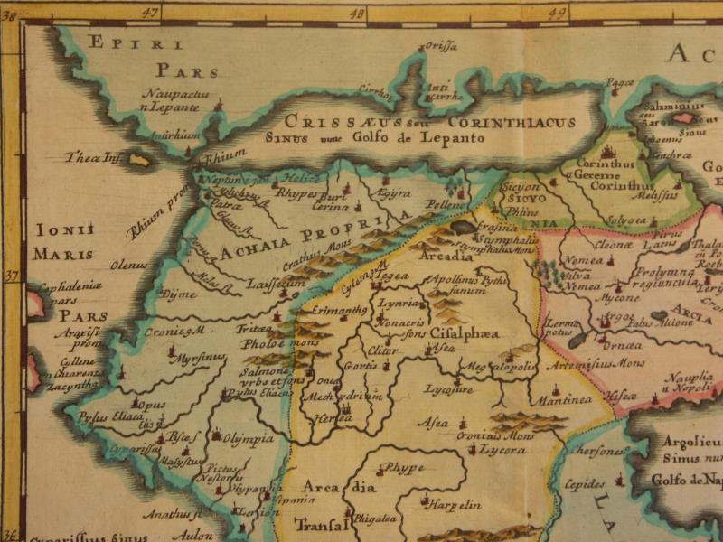
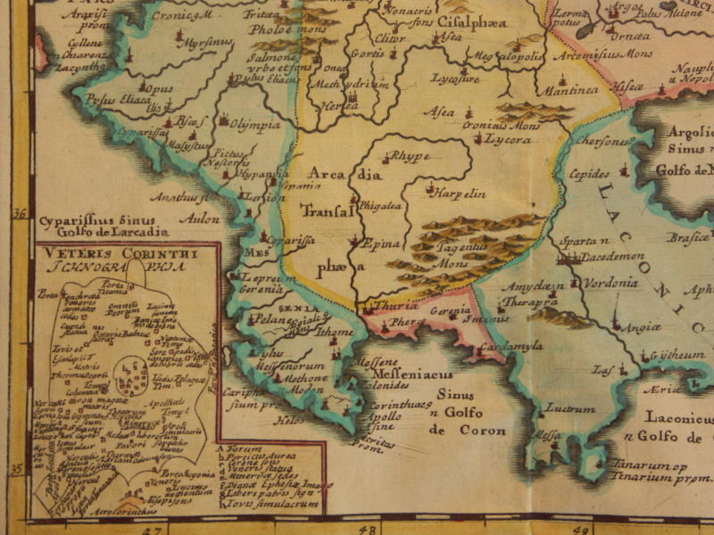
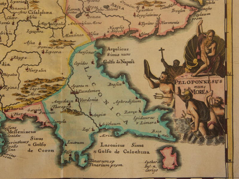
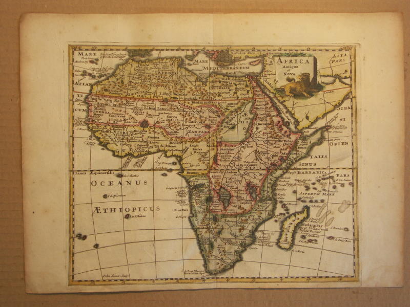
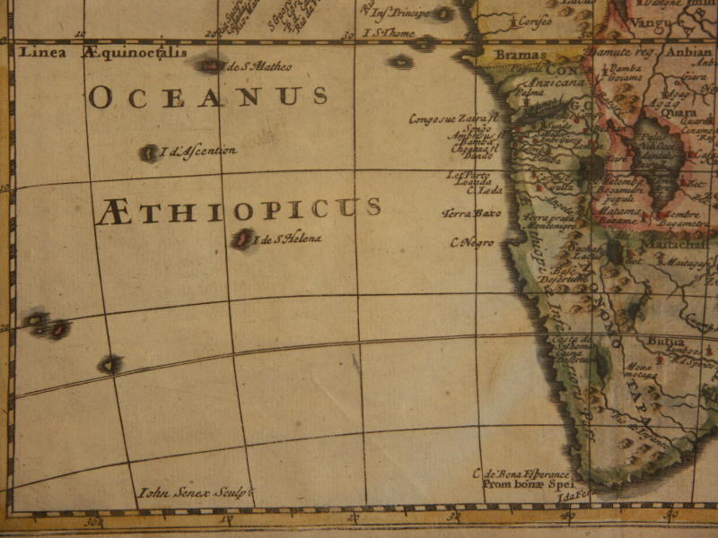
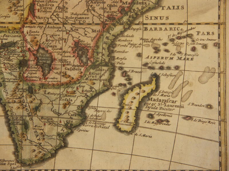
==*the ancient Peloponnese (1711)*: *northwest*; *northeast*; *southwest*; *southeast*==*Africa (hybrid) (1711)*: *northwest*; *northeast*; *southwest*; *southeast*
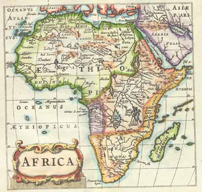
=*Egypt and North Africa* =*Africa*
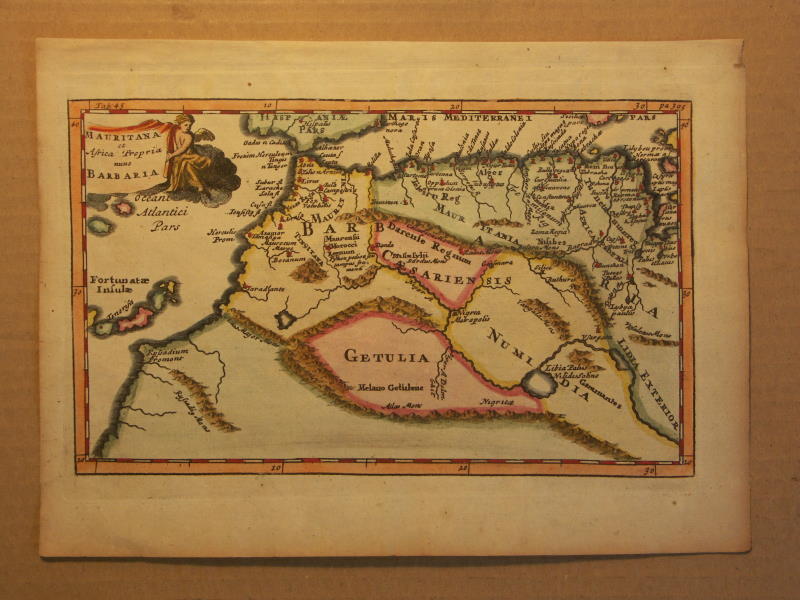
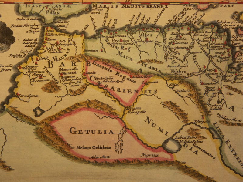
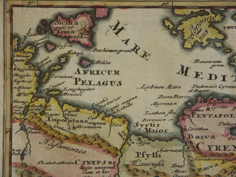
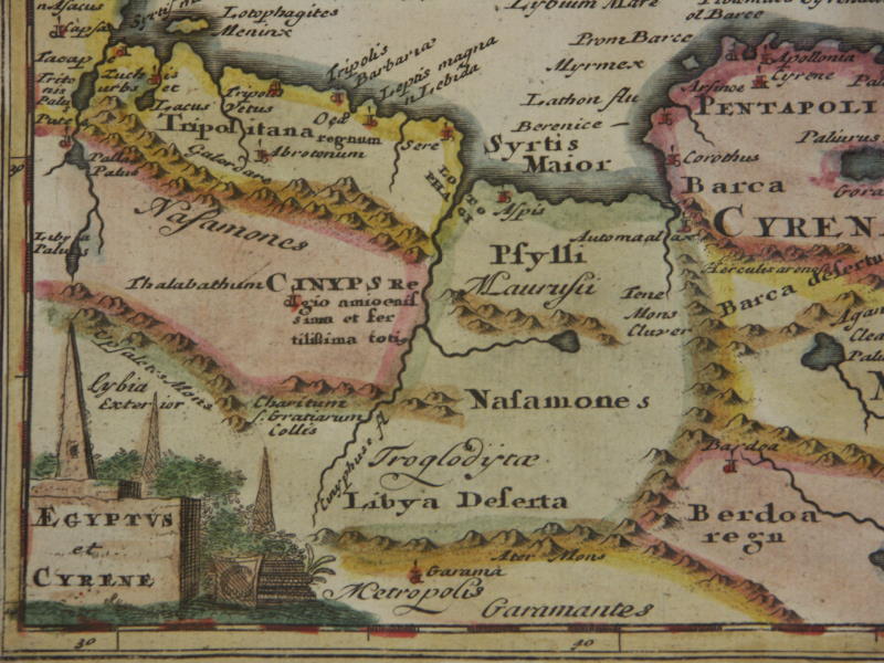
==*ancient Barbaria (1711)*: *west*; east*
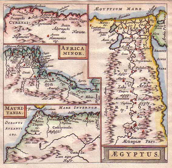
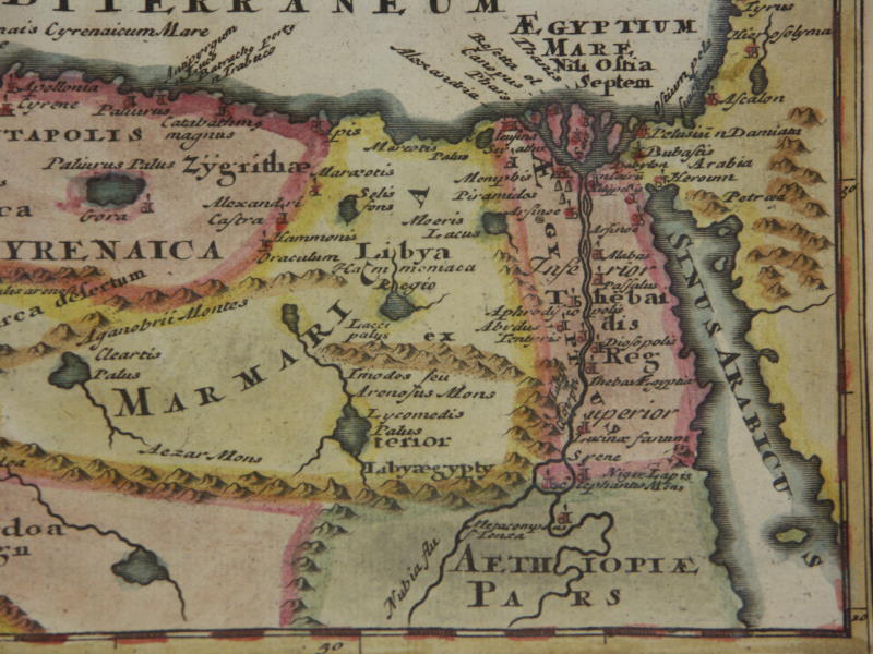
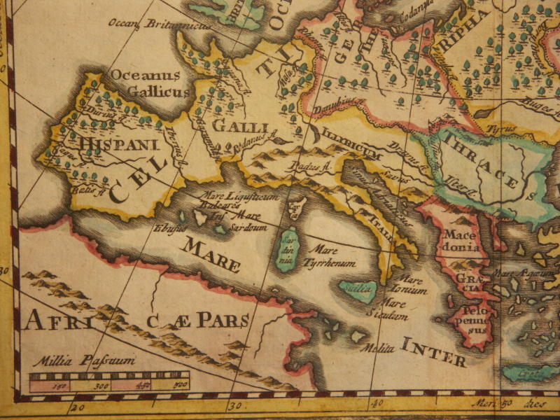
==*ancient Egypt (1697)*: *northwest*; *northeast*; *southwest*; *southeast*==*ancient Europe (1711)*: *northwest*; *northeast*; *southwest*; *southeast*
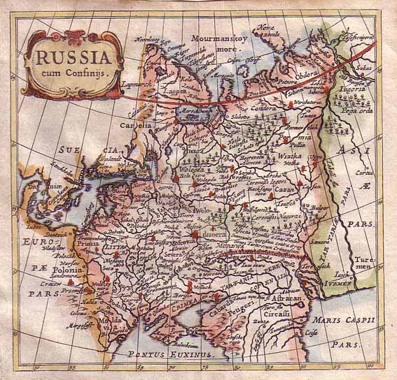
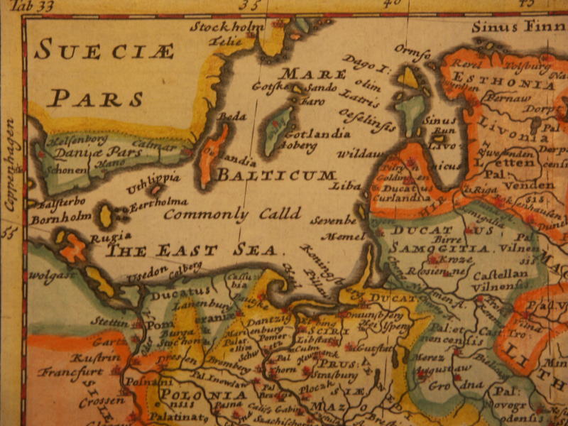
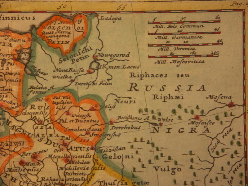
=*European Russia*
=*Europe (1652)*
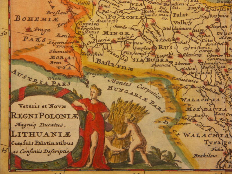
==*Poland (hybrid) (1711)*: *northwest*; *northeast*; *southwest*; *southeast*
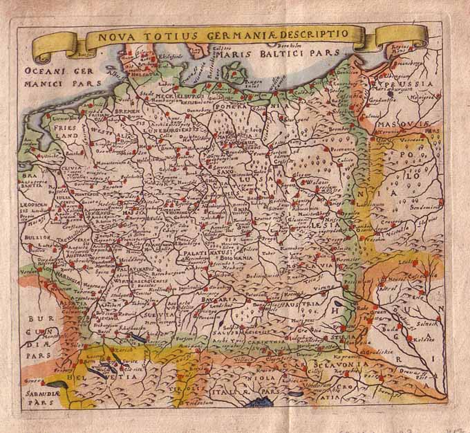
=*the German empire (1652)*
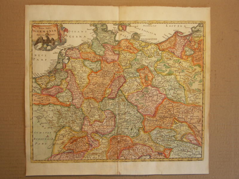
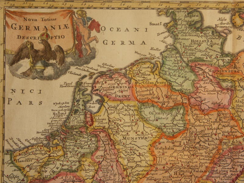
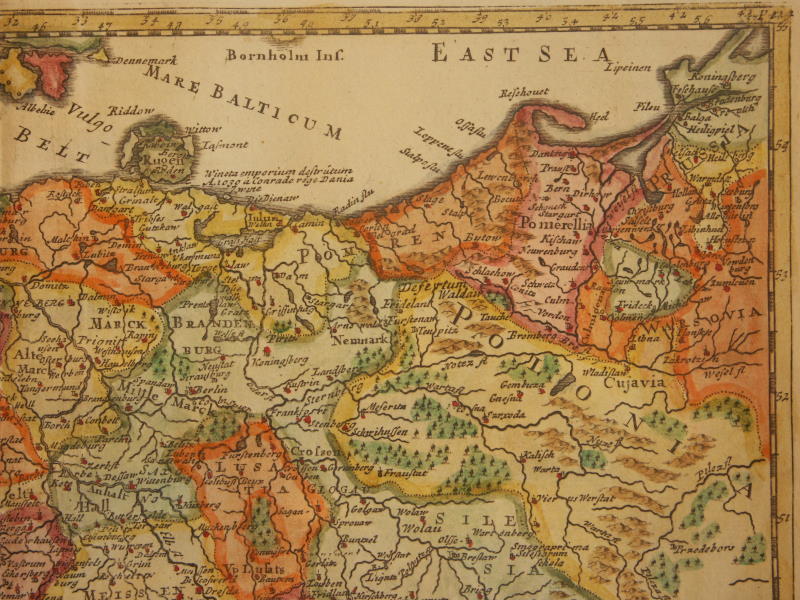
=*Germany (modern) (1711)*: *northwest*; *northeast*; *southwest*; *southeast*
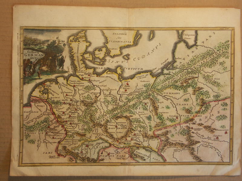
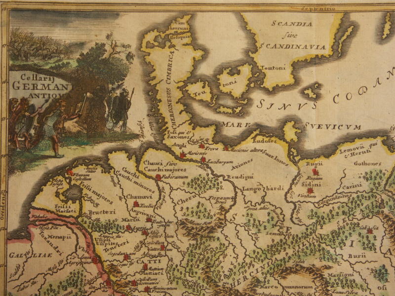
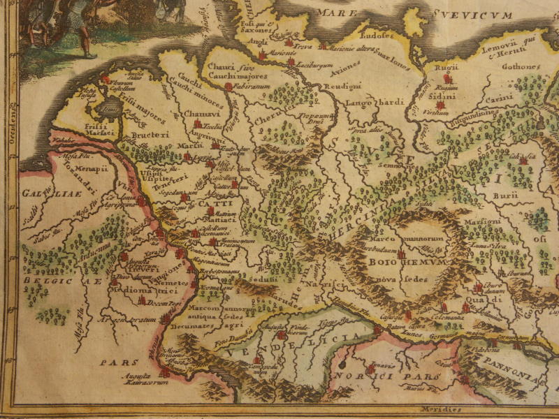
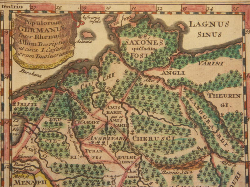
==*ancient north Germany (1711)*: *northwest*; *northeast*; *southwest*; *southeast*
==*ancient Germania (1711)*: *northwest*; *northeast*; *southwest*; *southeast*
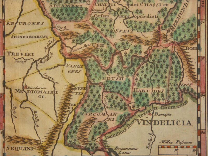
==*ancient Vindelicia (1711)*: *northwest*; *northeast*; *southwest*; *southeast*
==*ancient German tribes (1711)*: *northwest*; *northeast*; *southwest*; *southeast*
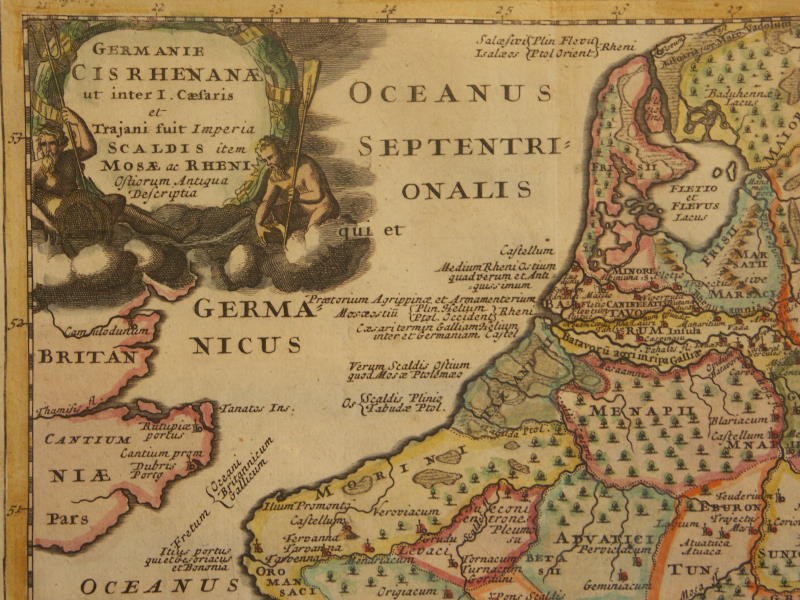
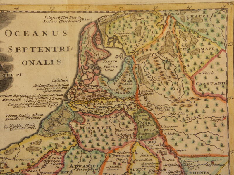
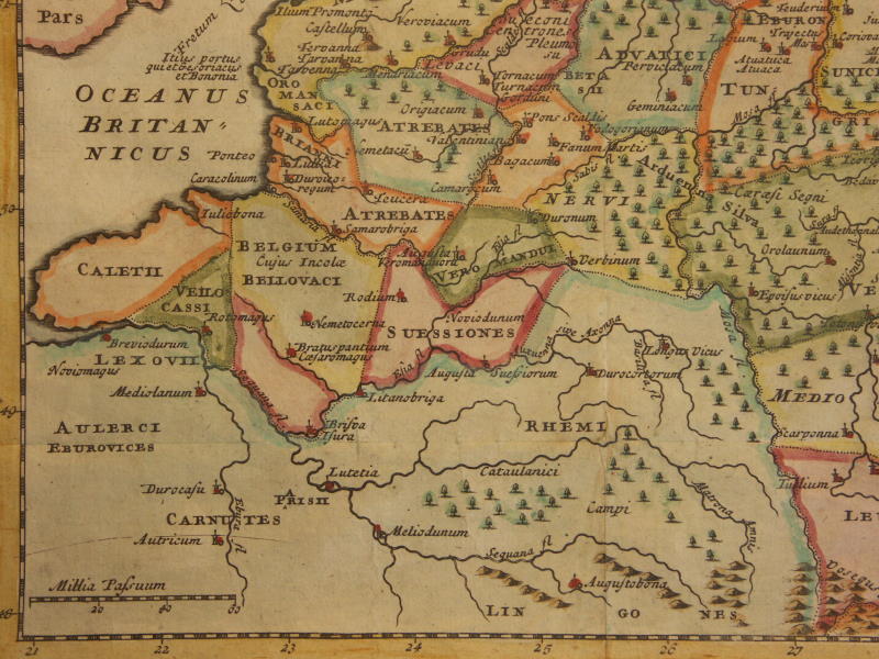
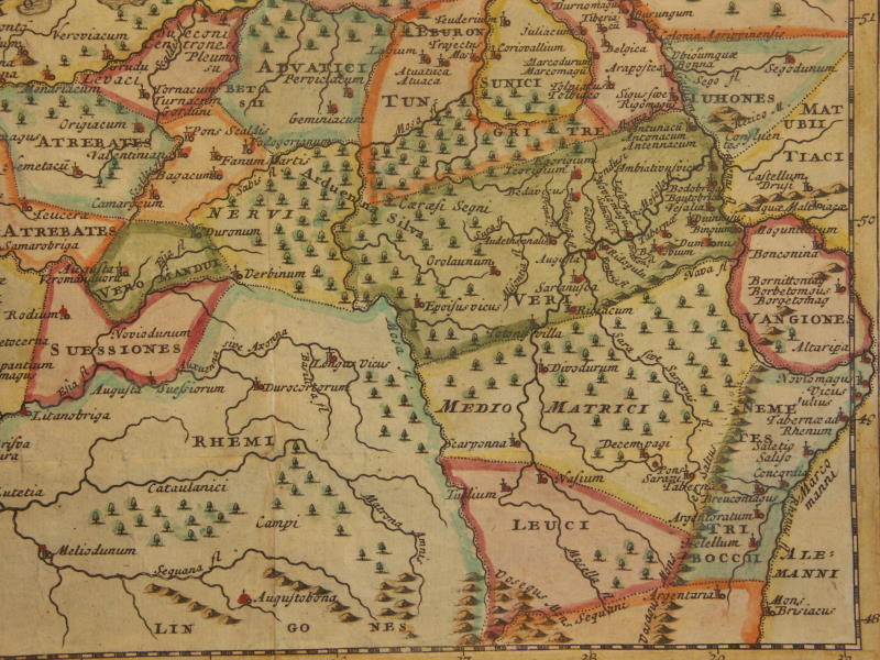
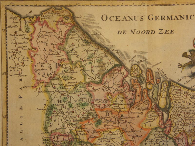
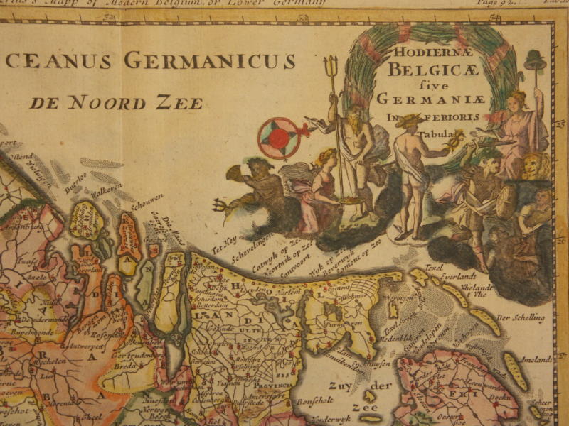
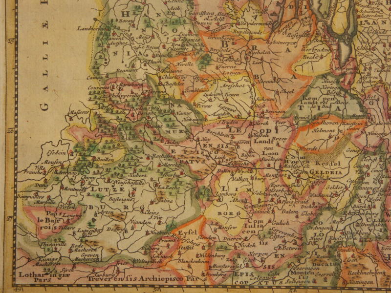
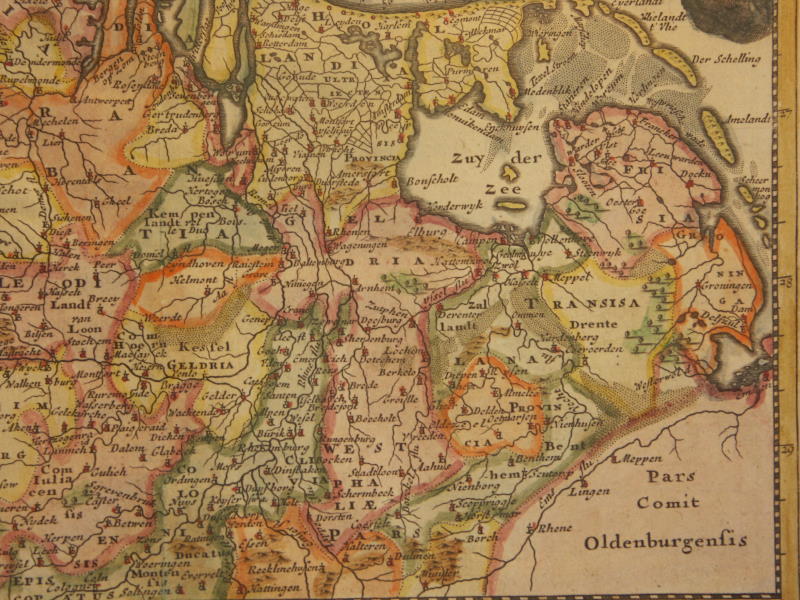
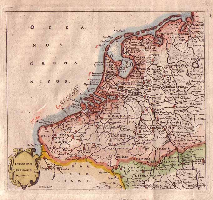
=*Belgica and Germania (1711)*: *northwest*; *northeast*; *southwest*; *southeast*
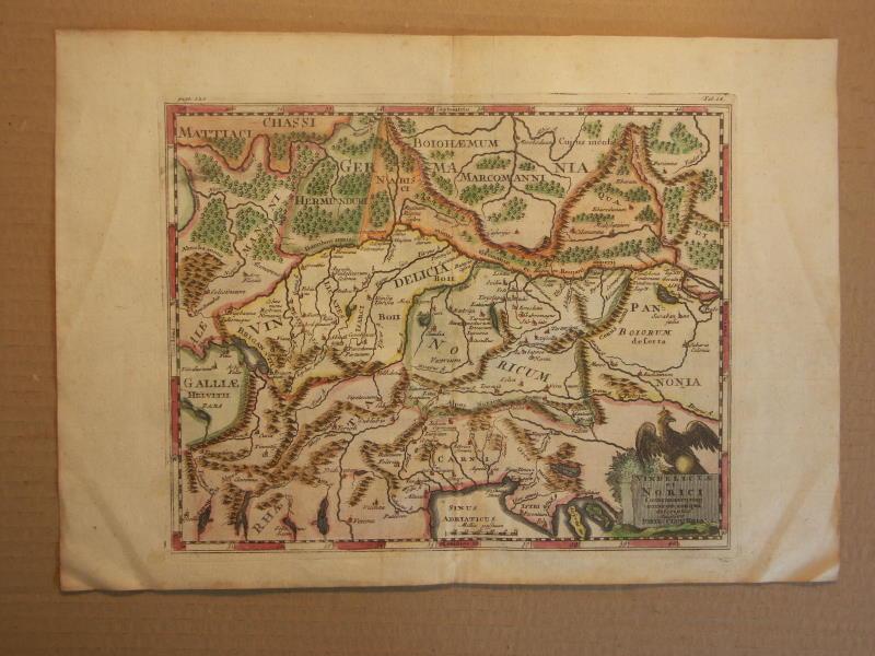
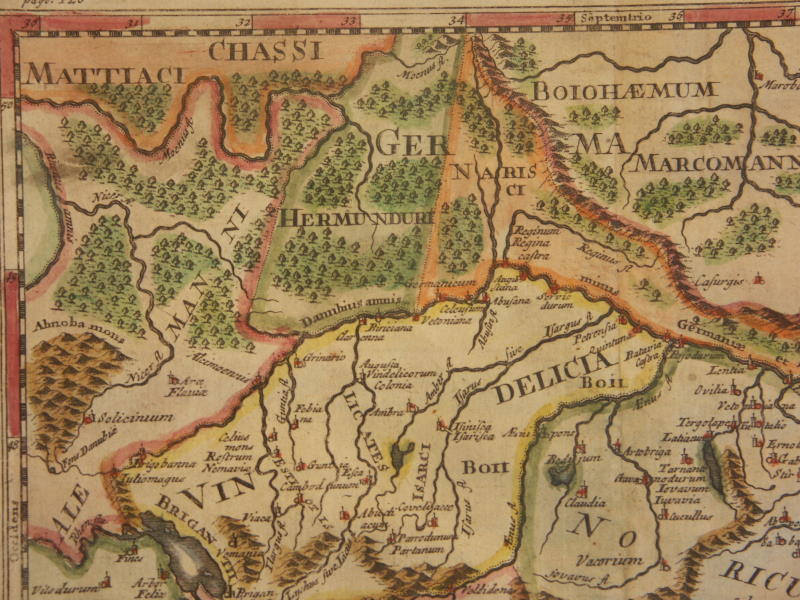
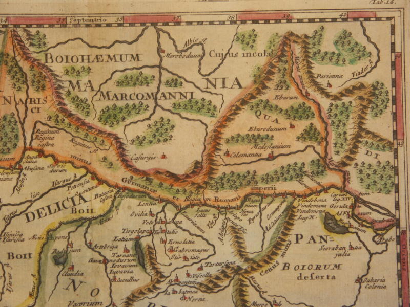
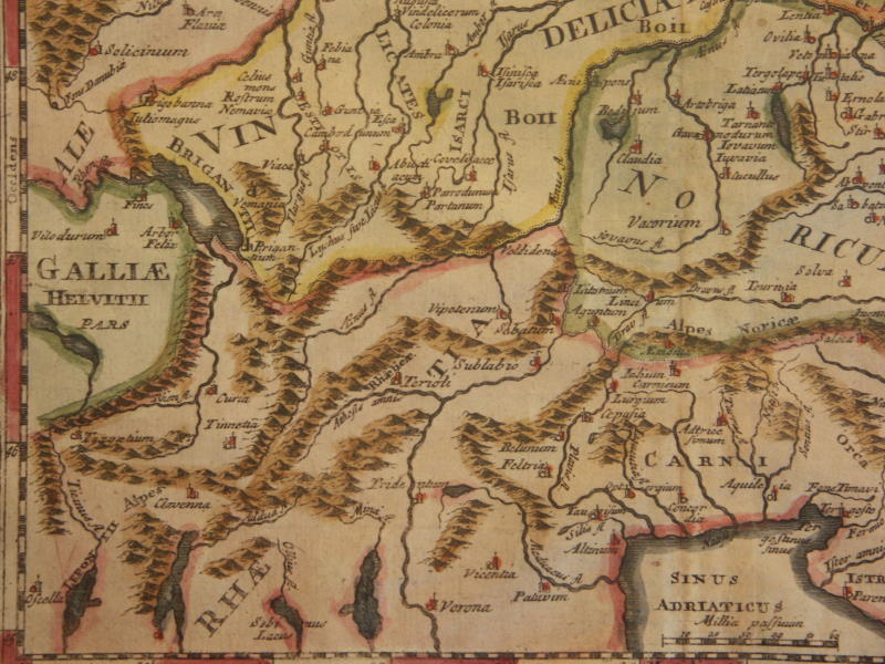
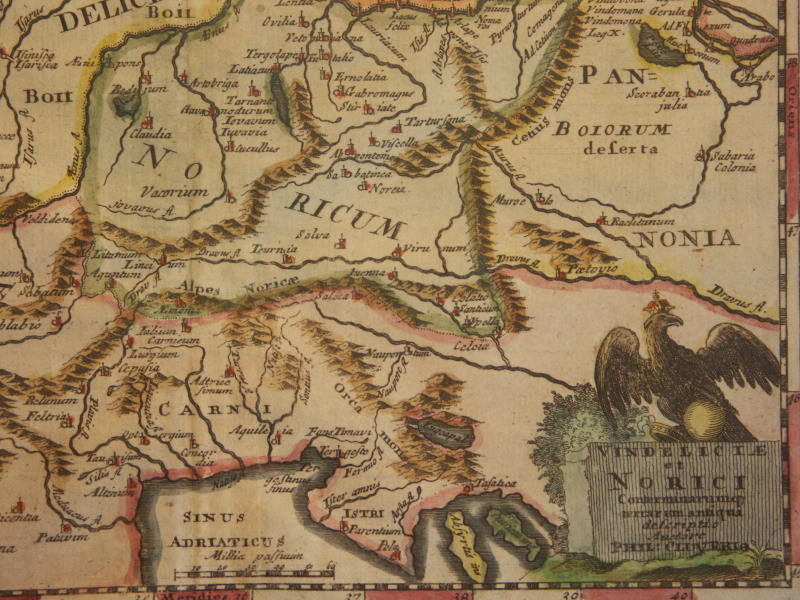
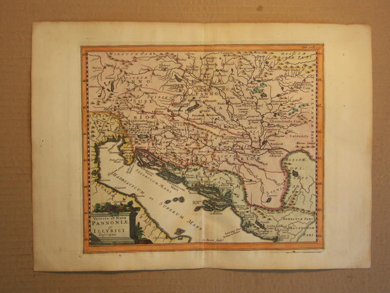
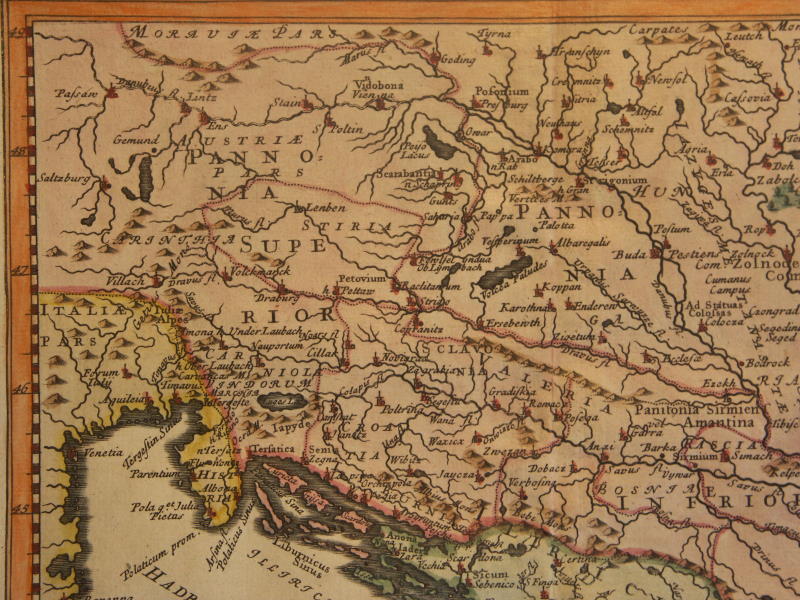
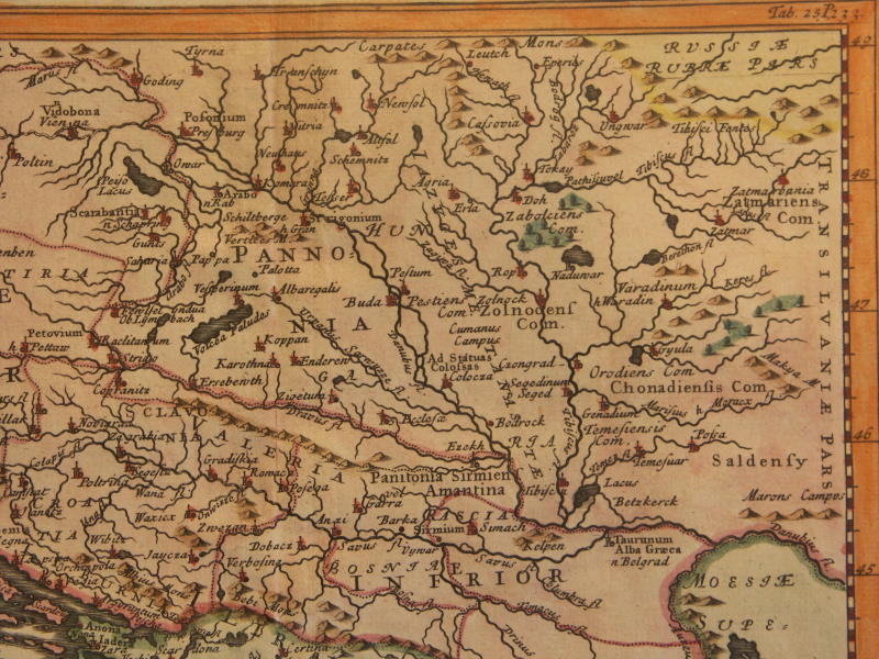
==*Pannonia and Illyrica (hybrid) (1711)*: *northwest*; *northeast*; *southwest*; *southeast*
=*the Netherlands (1652)*
=*Malta (1730)*
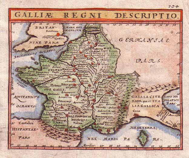
=*France (1711)*
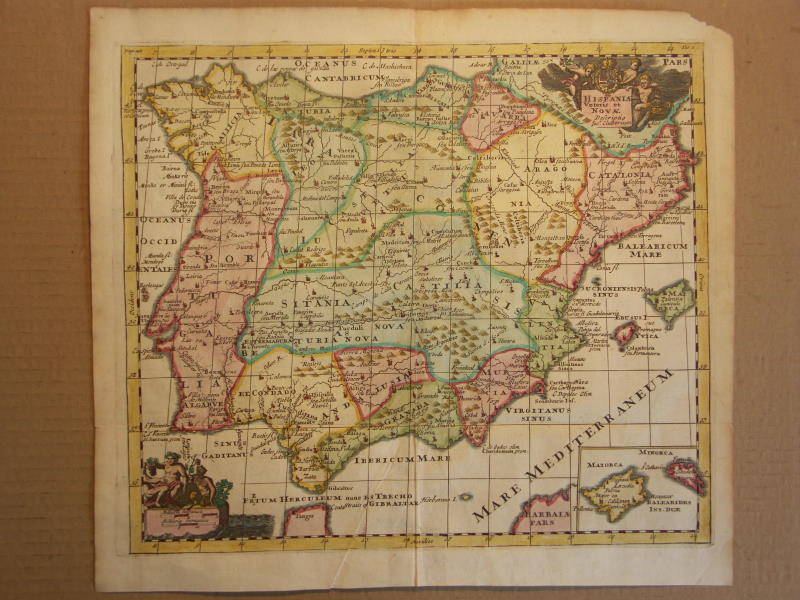
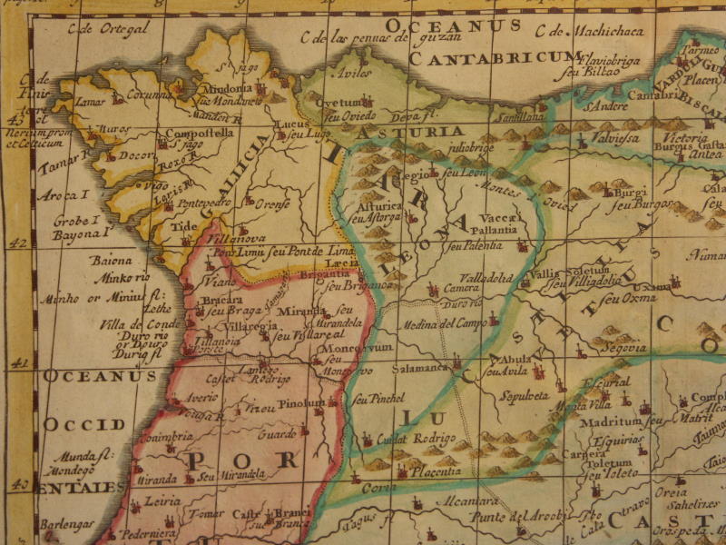
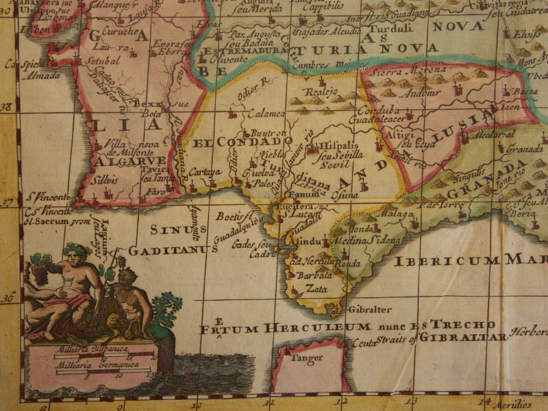
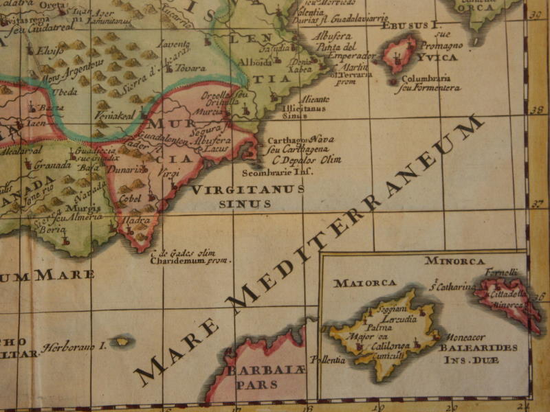
=*Spain and Portugal*
=*Spain and Portugal (1711)*: *northwest*; *northeast*; *southwest*; *southeast*
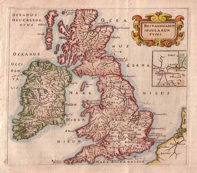
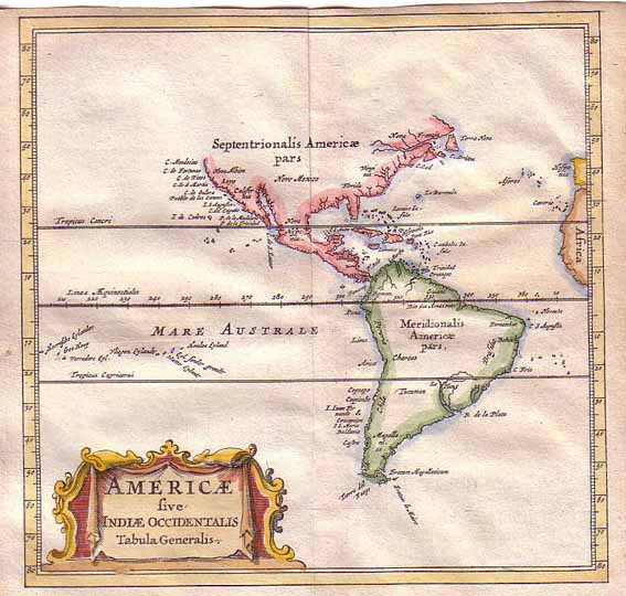
=*British Isles (1652)*=*America*
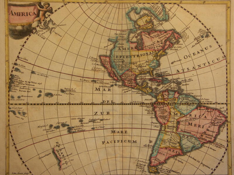
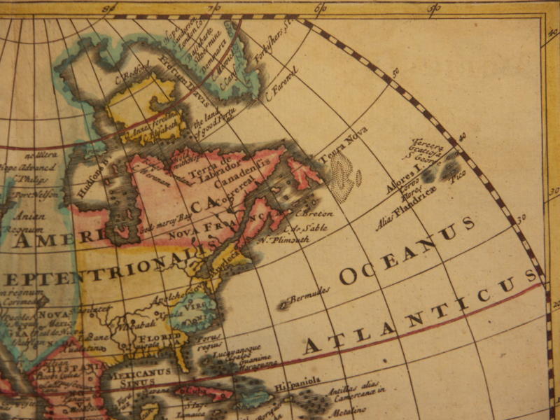
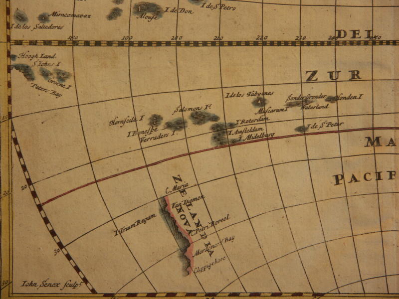
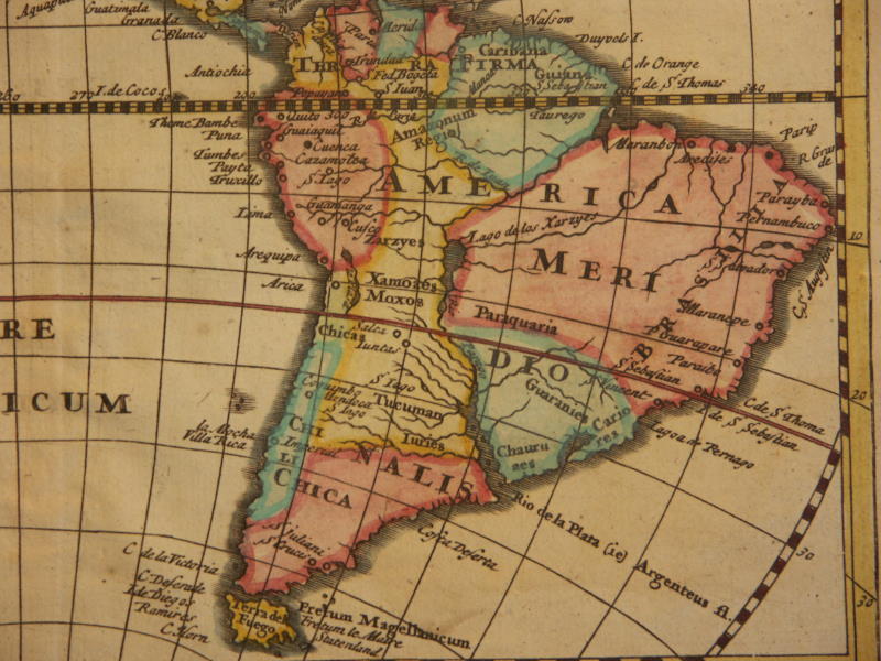
=*North and South America (1711)*: *northwest*; *northeast*; *southwest*; *southeast*
=*the Garden of Eden (1711)*: *detail 1*; *detail 2*; *detail 3*
== Mughal index == Main map index == Glossary == FWP's main page