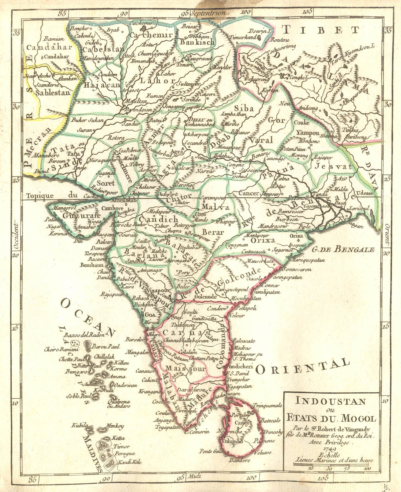
"Indoustan ou Etats du Mogol," by Robert de Vaugondy; CLICK ON THE MAP FOR A VERY LARGE SCAN. (Bought on ebay and scanned by FWP, Aug. 2007)
An updated version of this atlas was published in 1806 (*title page*).
*Eastern Asia, 1749*
*China, 1749*: *northwest*; *northeast*; *southwest*; *southeast*
*Japan, 1749*: *northwest*; *northeast*; *southwest*; *southeast*
*Southeast Asia, 1749*
*Indonesia, 1750*: *northwest*; *northeast*; *southwest*; *southeast*
*Moluccas and Philippines, 1749*
*Asia, 1749*: *northwest*; *northeast*; *southwest*; *southeast*; *south and central*
*Asia, 1750*; [*Asia, 1806*]
[*Western Asia, 1806*]
*Persia, 1749*: *northwest*; *northeast*; *southwest*; *southeast*
*Arabia, 1749*
*Turkey in Asia, 1749*
*European Turkey, 1749*: *northwest*; *northeast*; *southwest*; *southeast*
[*European Turkey, 1806*]*North Africa, 1749*
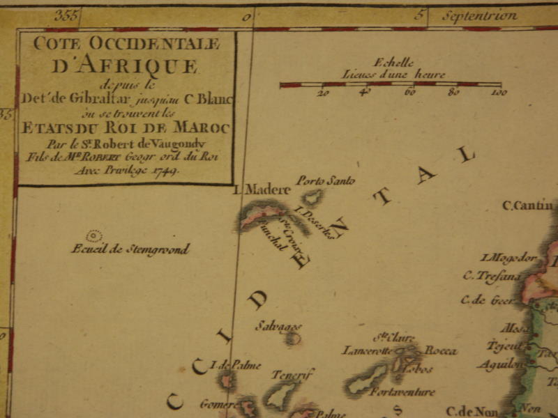
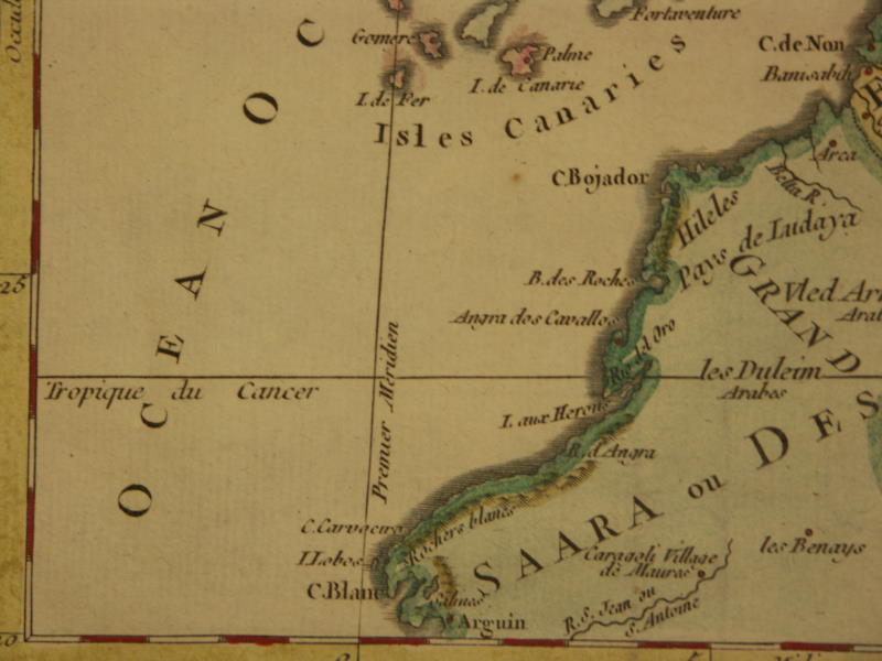
*Canary Islands, 1749*
*Northeast Africa, 1749*
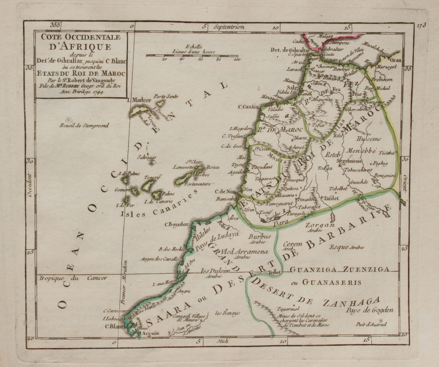
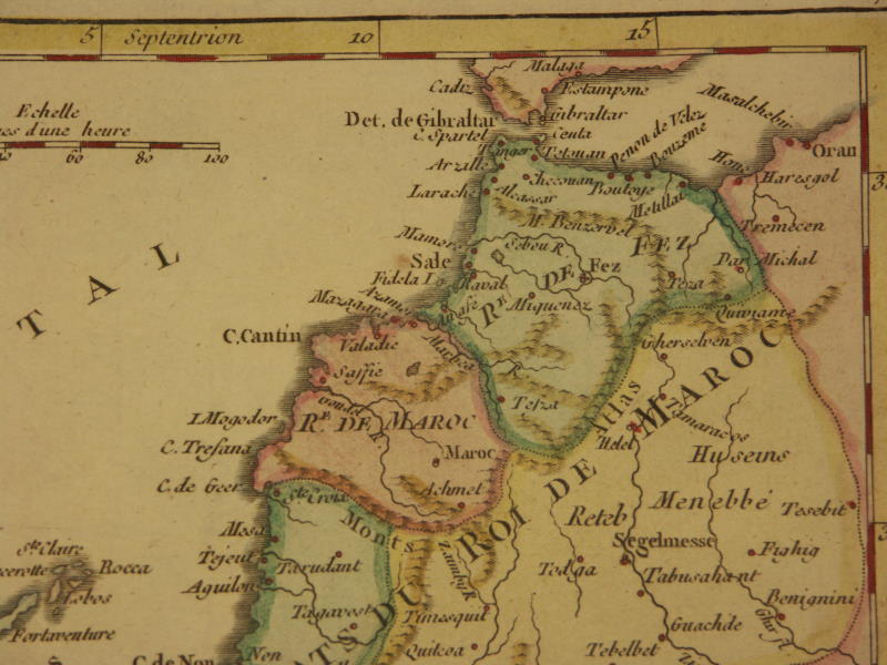
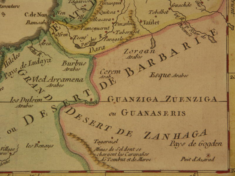
*Morocco, 1750*: *northwest*; *northeast*; *southwest*; *southeast*
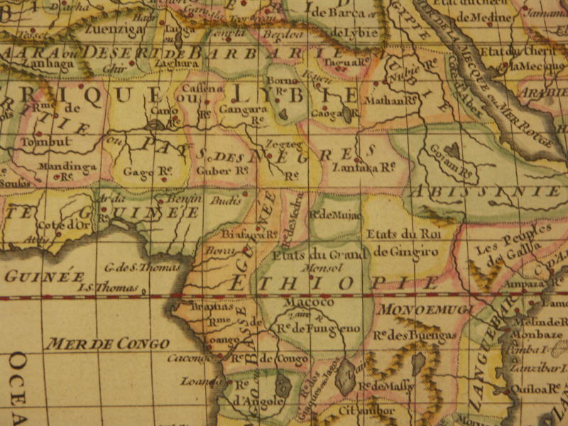
*West Africa, 1749*
*West Central Africa, 1749*: *northwest*; *northeast*; *southwest*; *southeast*
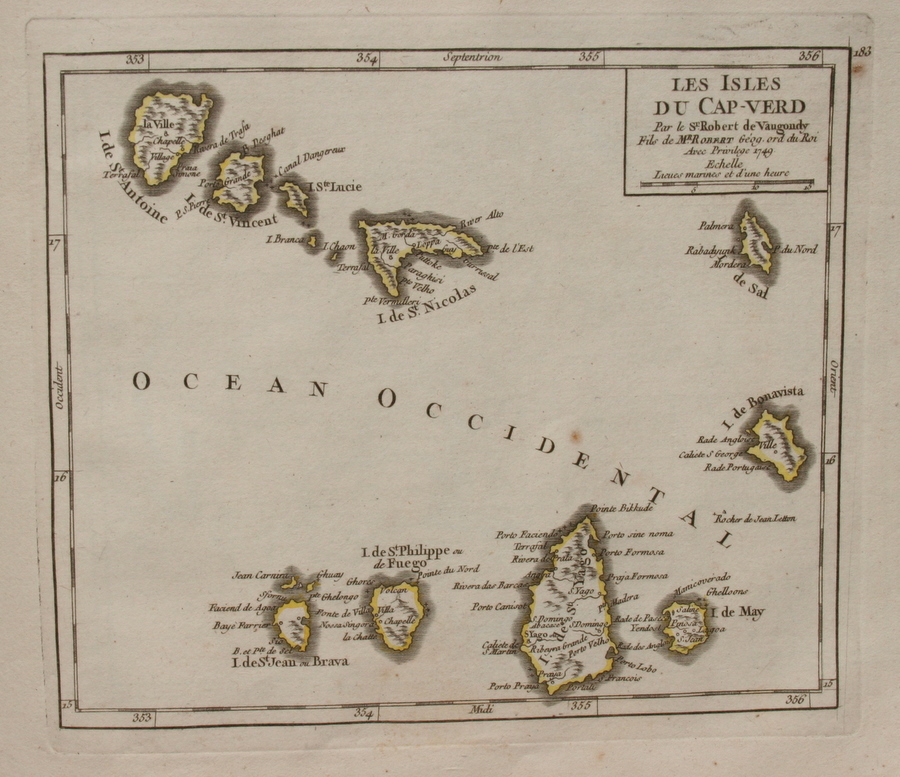
*Cape Verde Islands, 1749*
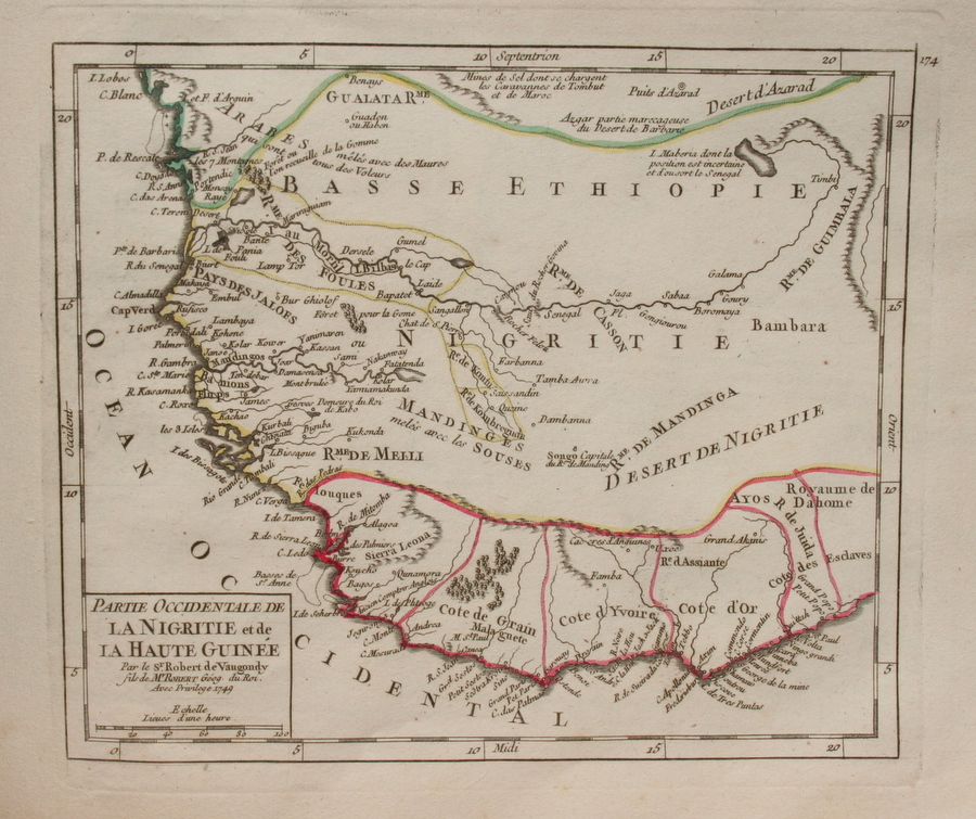
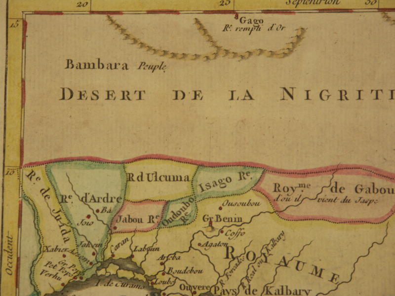
*Guinea, 1749*
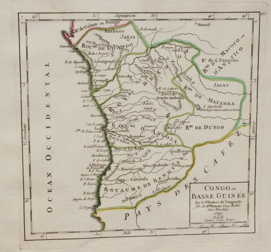
*Congo, 1749*
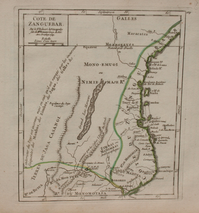
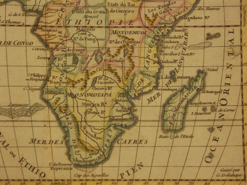
*Zanzibar, 1749*
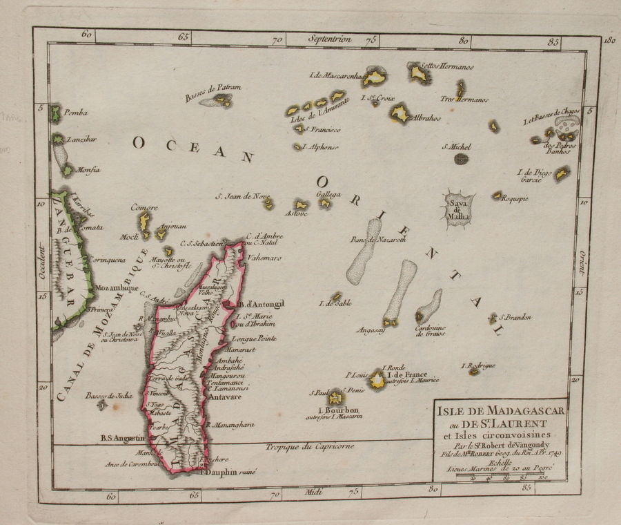
*Madagascar, 1749*
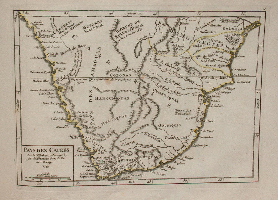
*South Africa, 1749*
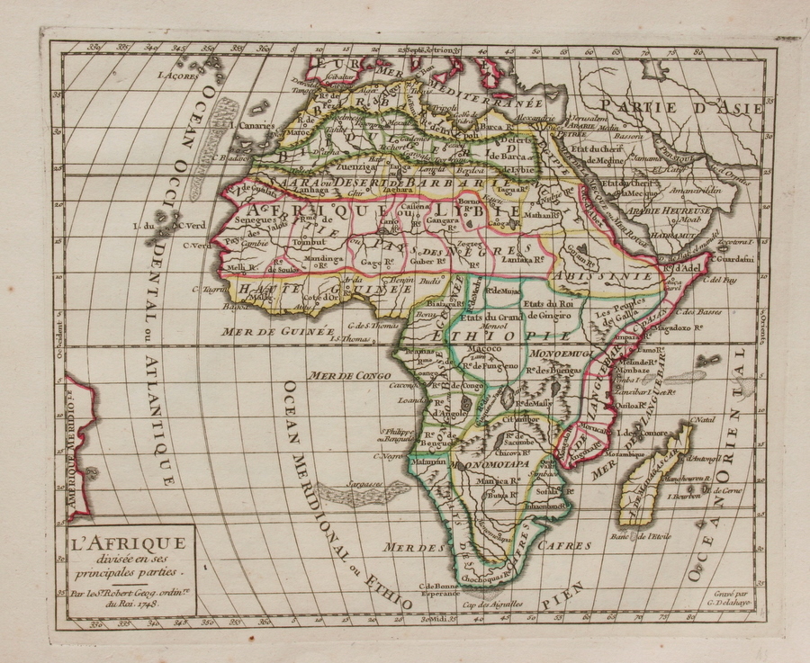
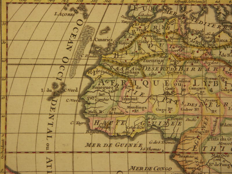
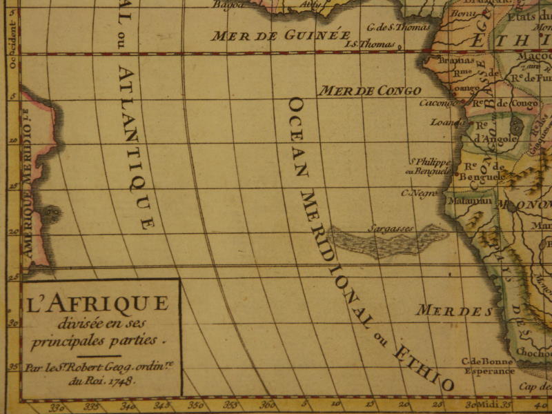
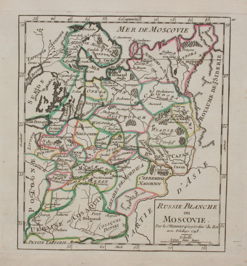
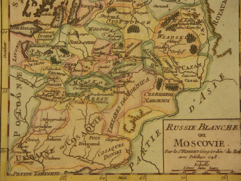
*Africa, 1749*: *northwest*; *northeast*; *southwest*; *southeast*; *central Africa**Russia, 1749*: *northwest*; *south*
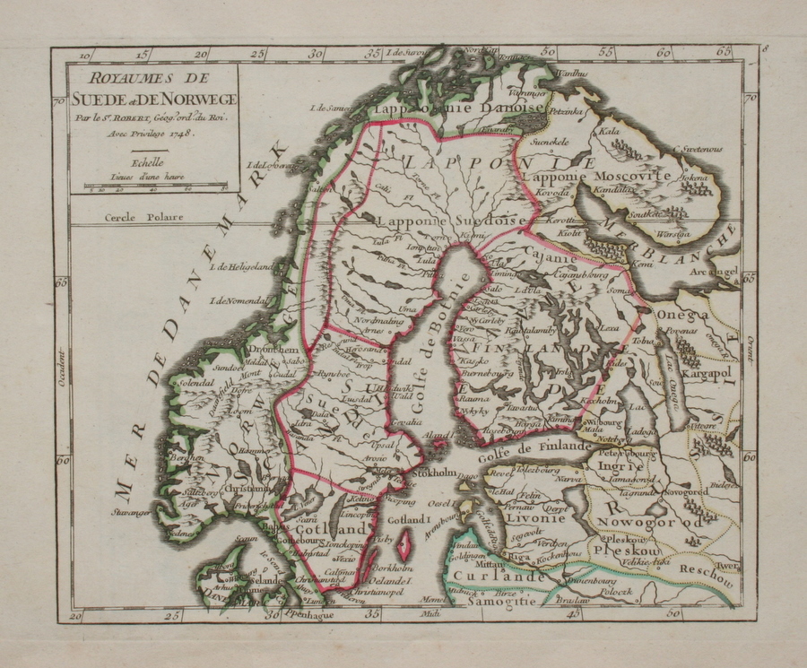
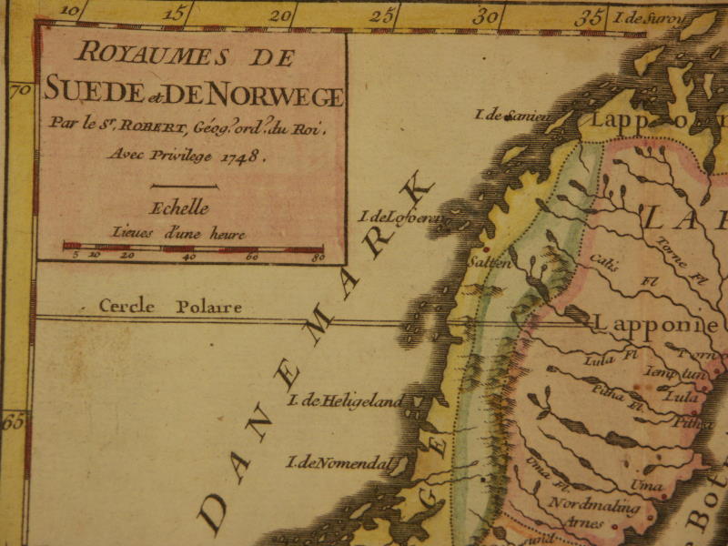
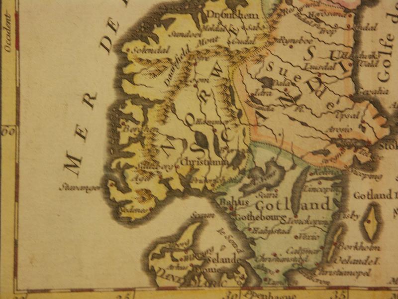
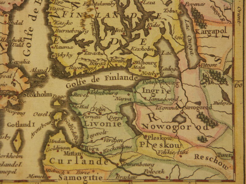
*Scandinavia, 1749*: *northwest*; *northeast*; *southwest*; *southeast*
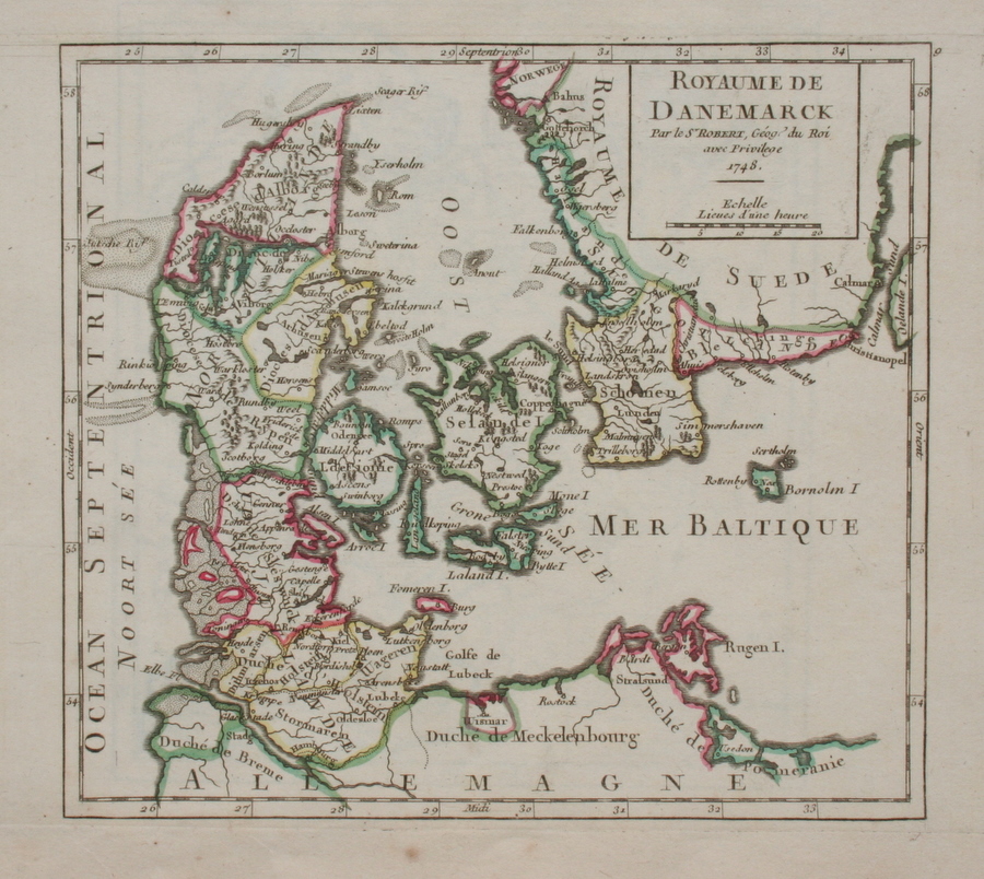
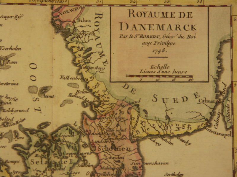
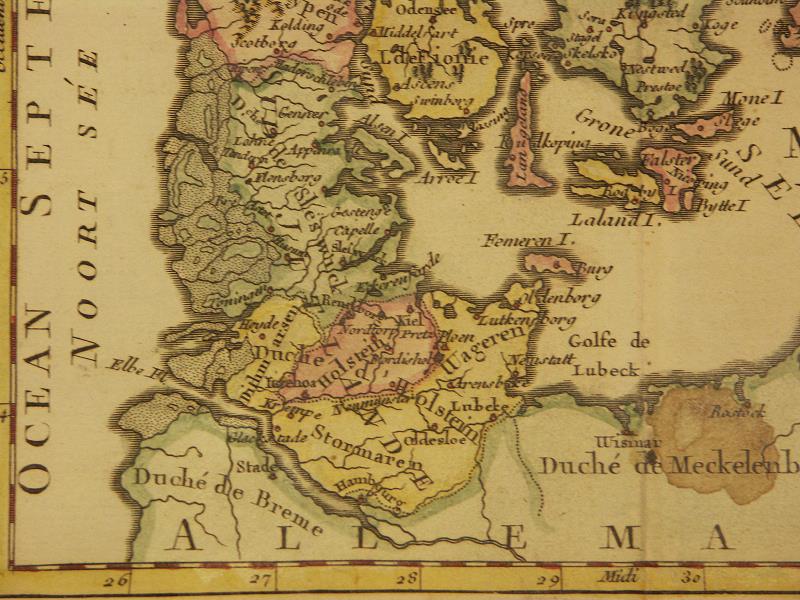
*Denmark, 1749*: *northwest*; *northeast*; *southwest*; *southeast*
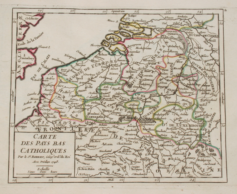
*Belgium, 1749*
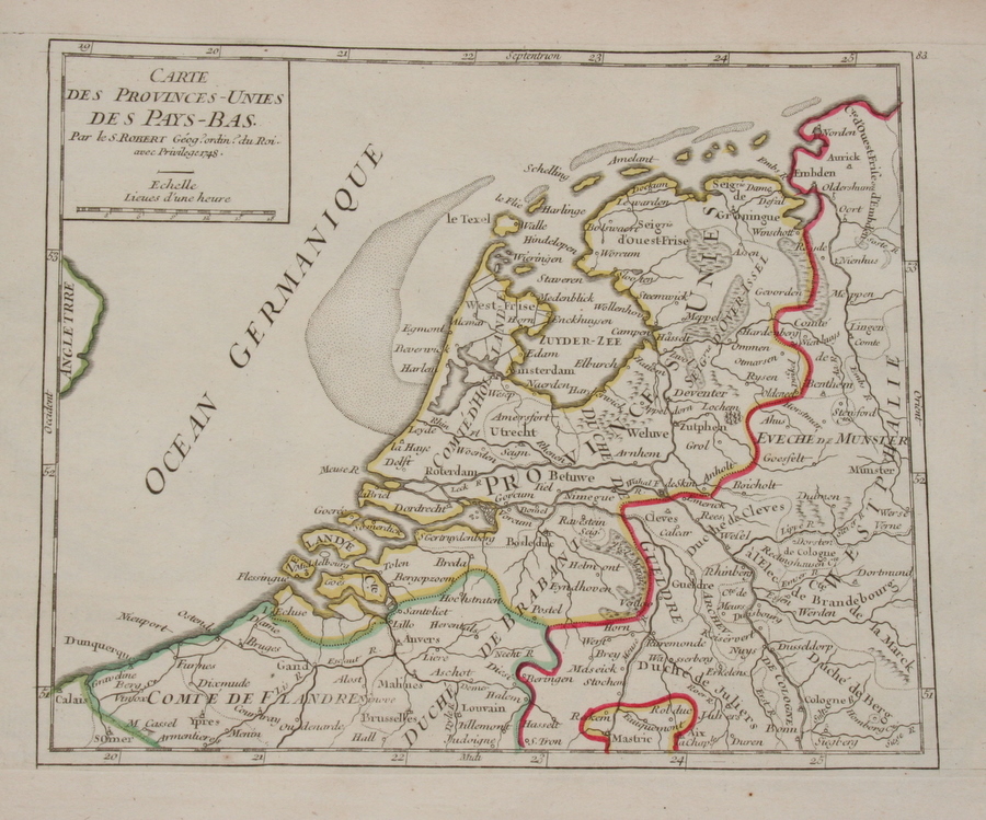
*Holland, 1749*
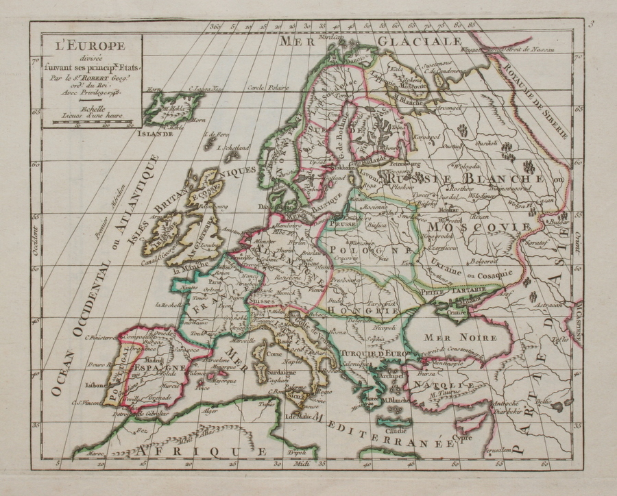
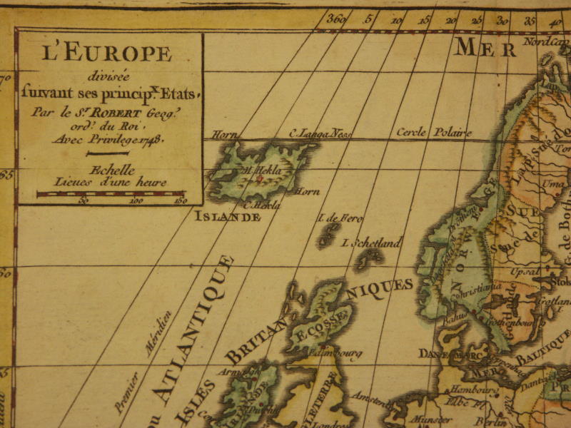
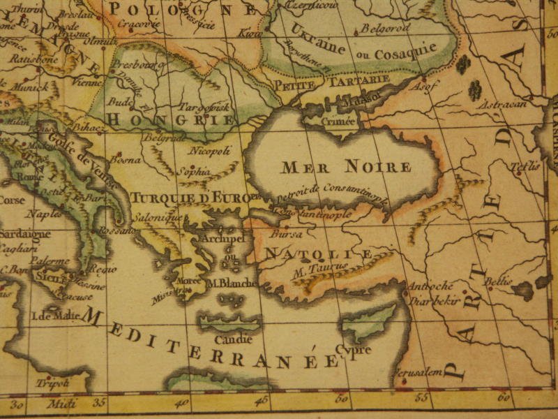
*Europe, 1749*: *northwest*; *northeast*; *southwest*; *southeast*
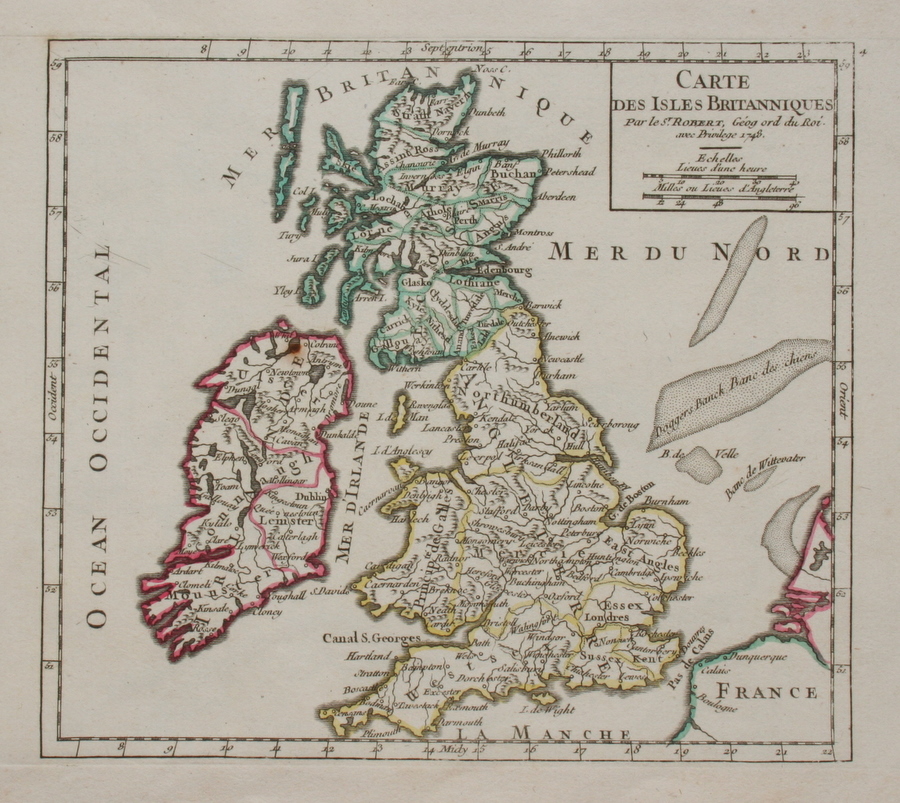
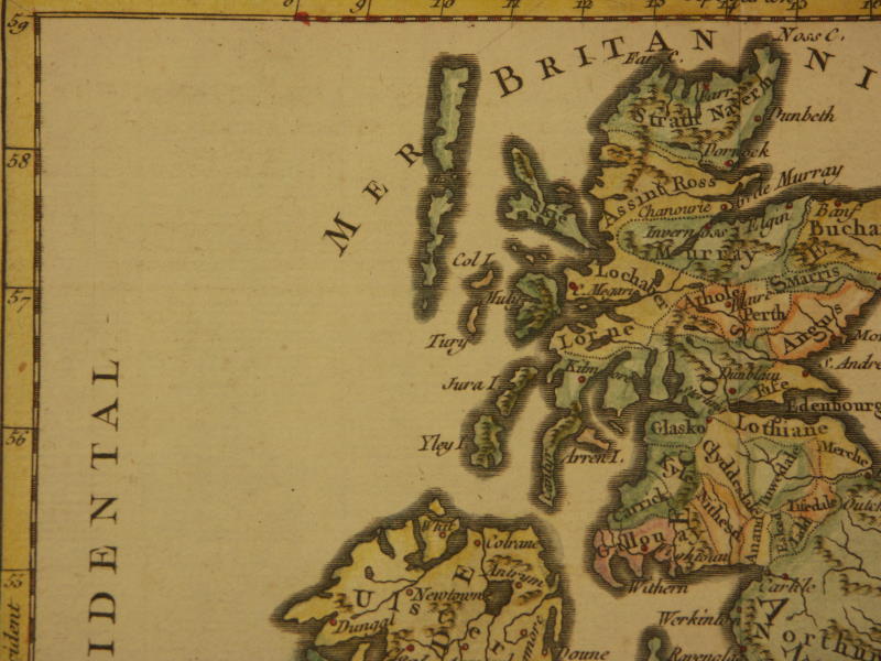
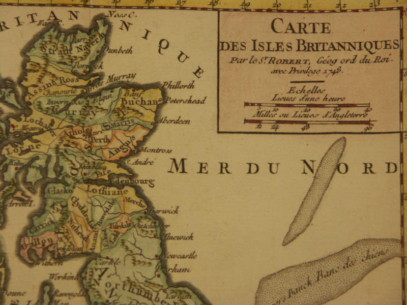
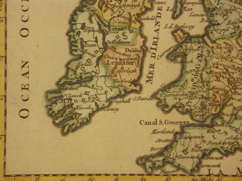
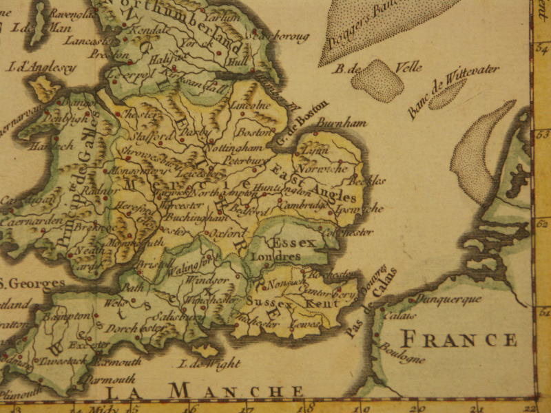
*Great Britain, 1749*: *northwest*; *northeast*; *southwest*; *southeast*
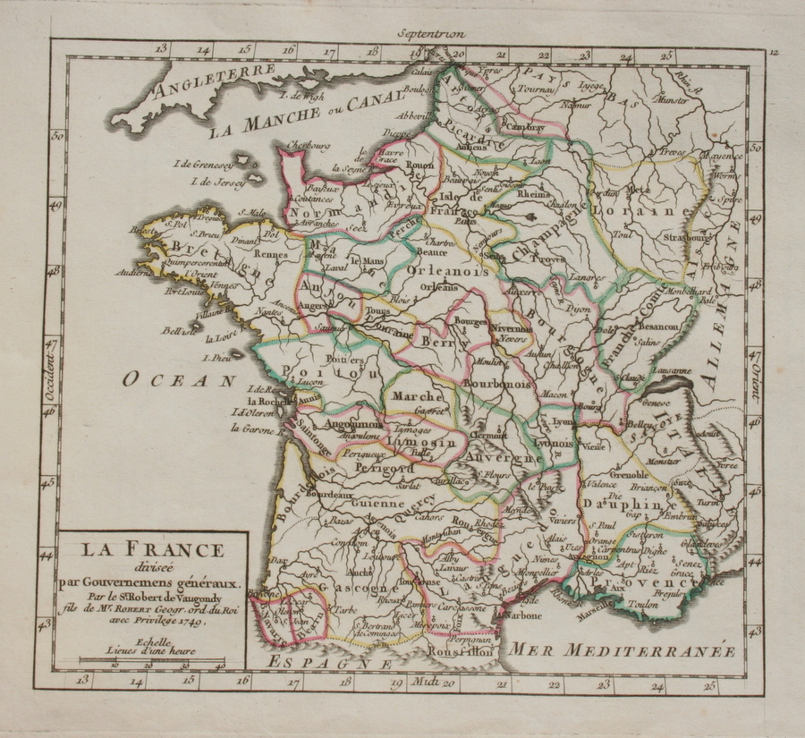
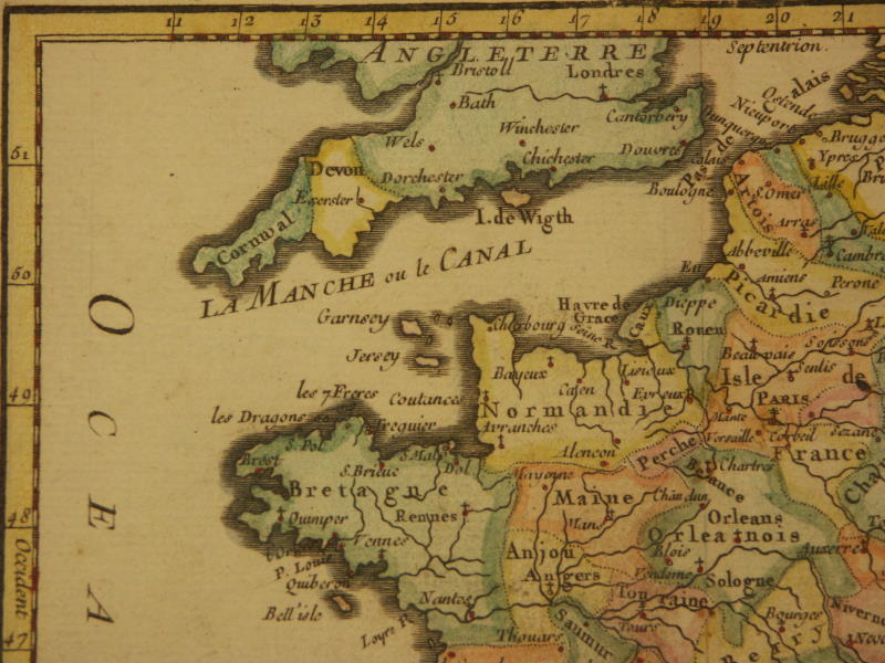
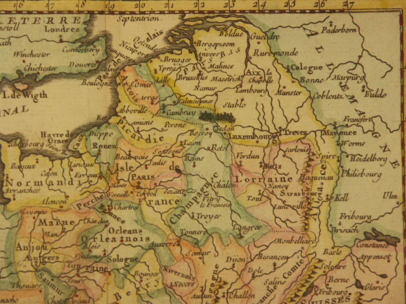
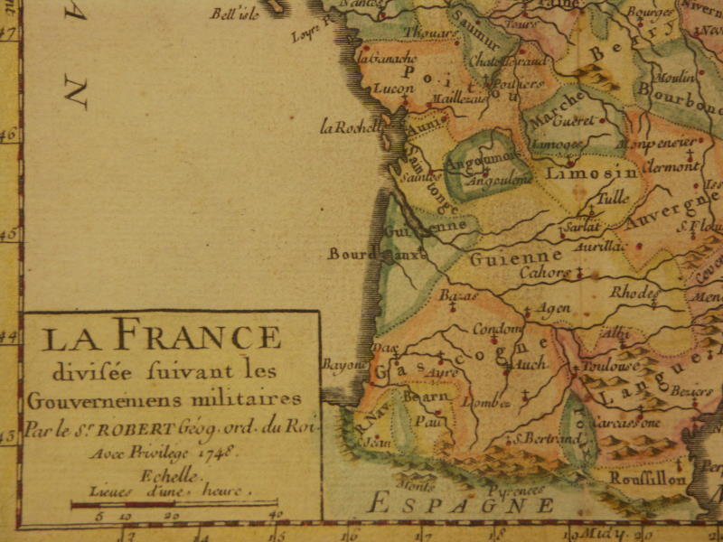
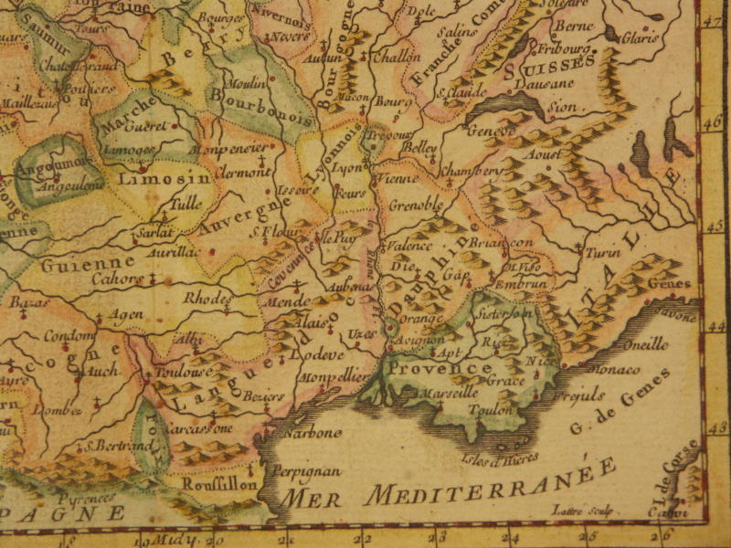
*France, 1749*: *northwest*; *northeast*; *southwest*; *southeast*
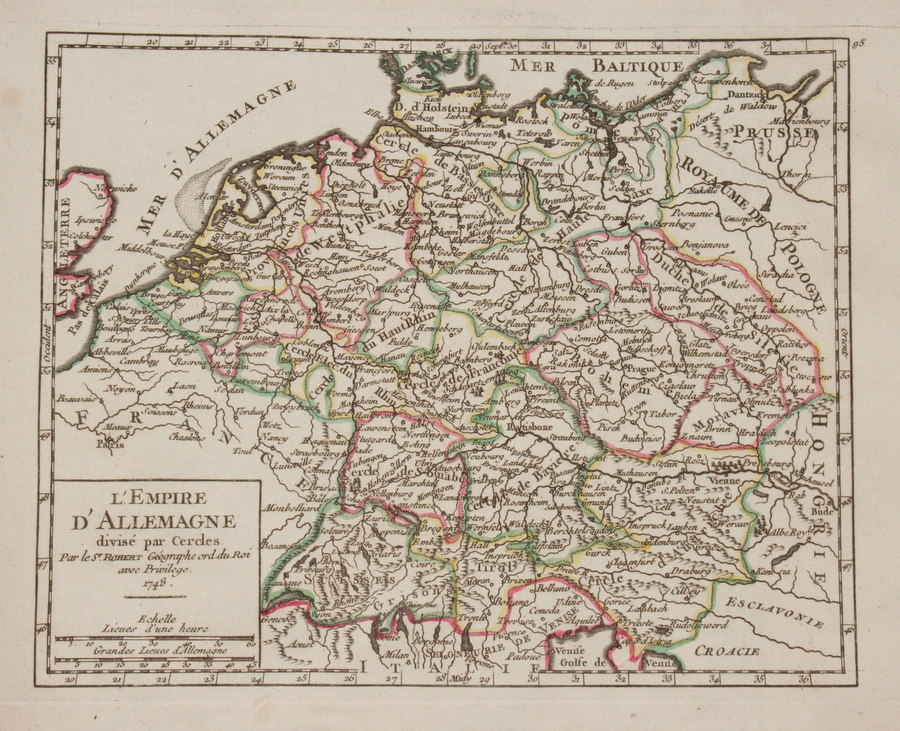
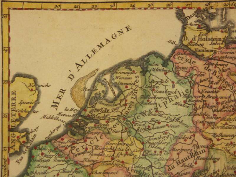
*Germany, 1749*: *northwest*; *northeast*; *southwest*; *southeast*
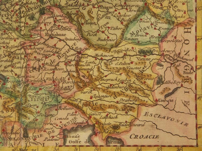
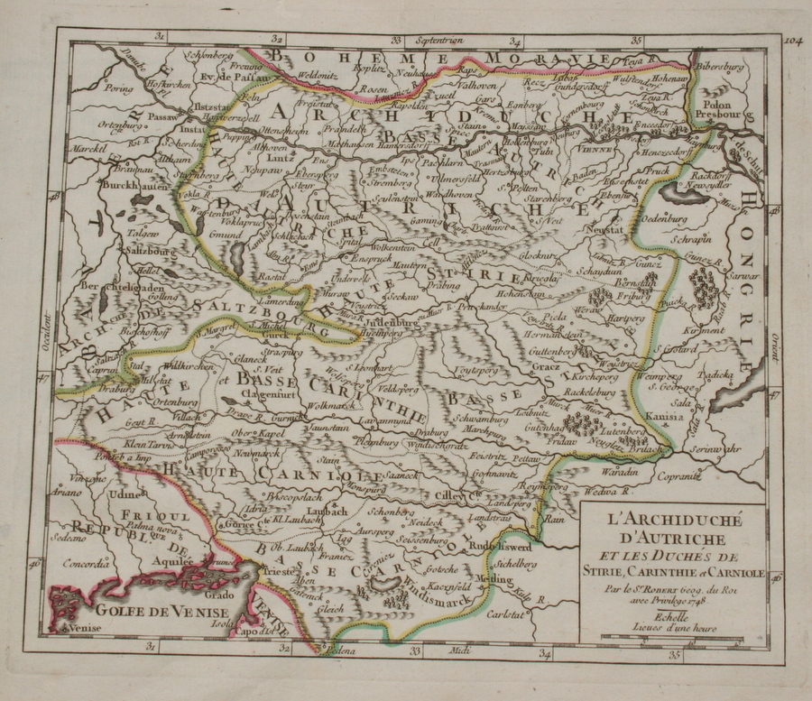
*Austria, 1749*
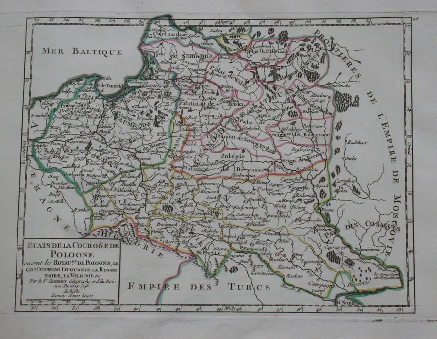
*Poland, 1749*
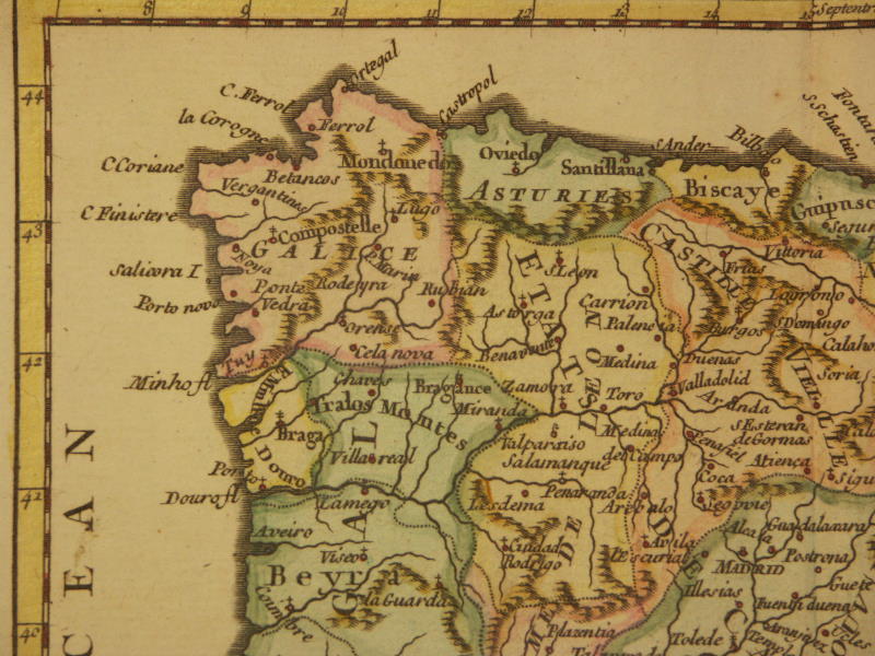
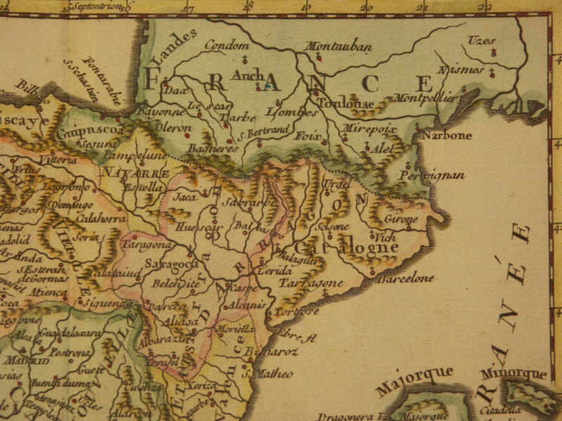
*Spain and Portugal, 1749*: *northwest*; *northeast*; *southwest*; *southeast*
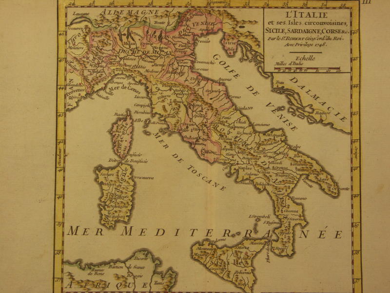
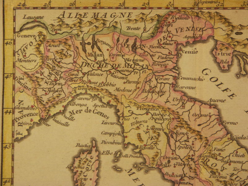
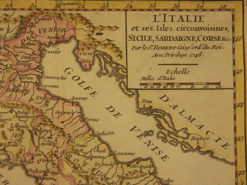
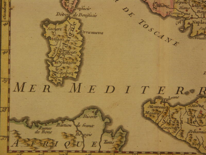
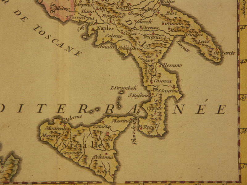
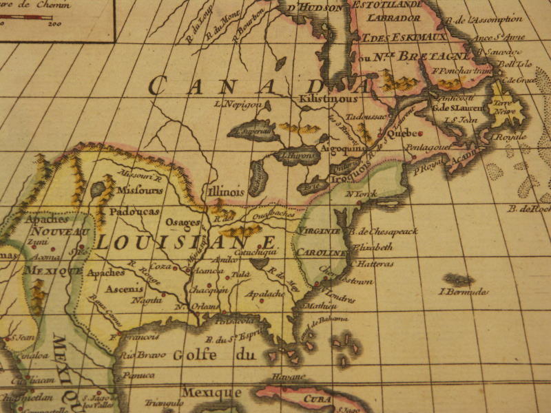
*Italy, 1749*: *northwest*; *northeast*; *southwest*; *southeast**North America, 1749*: *northwest*; *northeast*; *southwest*; *southeast*; *Louisiana*;
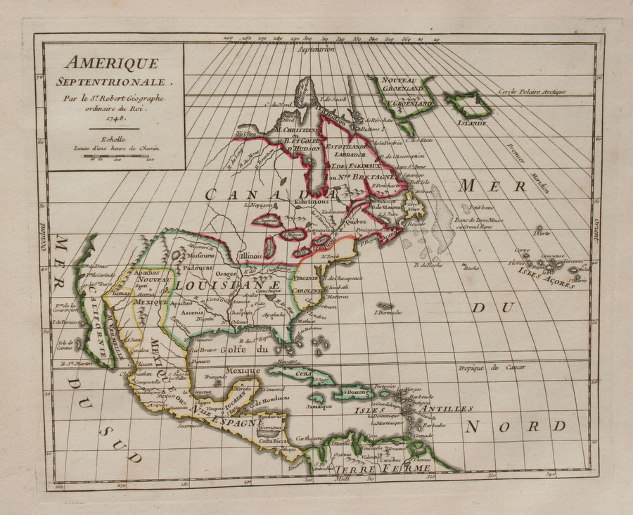
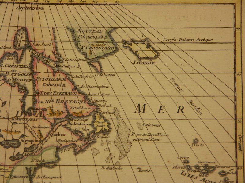
*North America, 1750* from his 'Methode abregee et facile pour apprendre la geographie', Paris
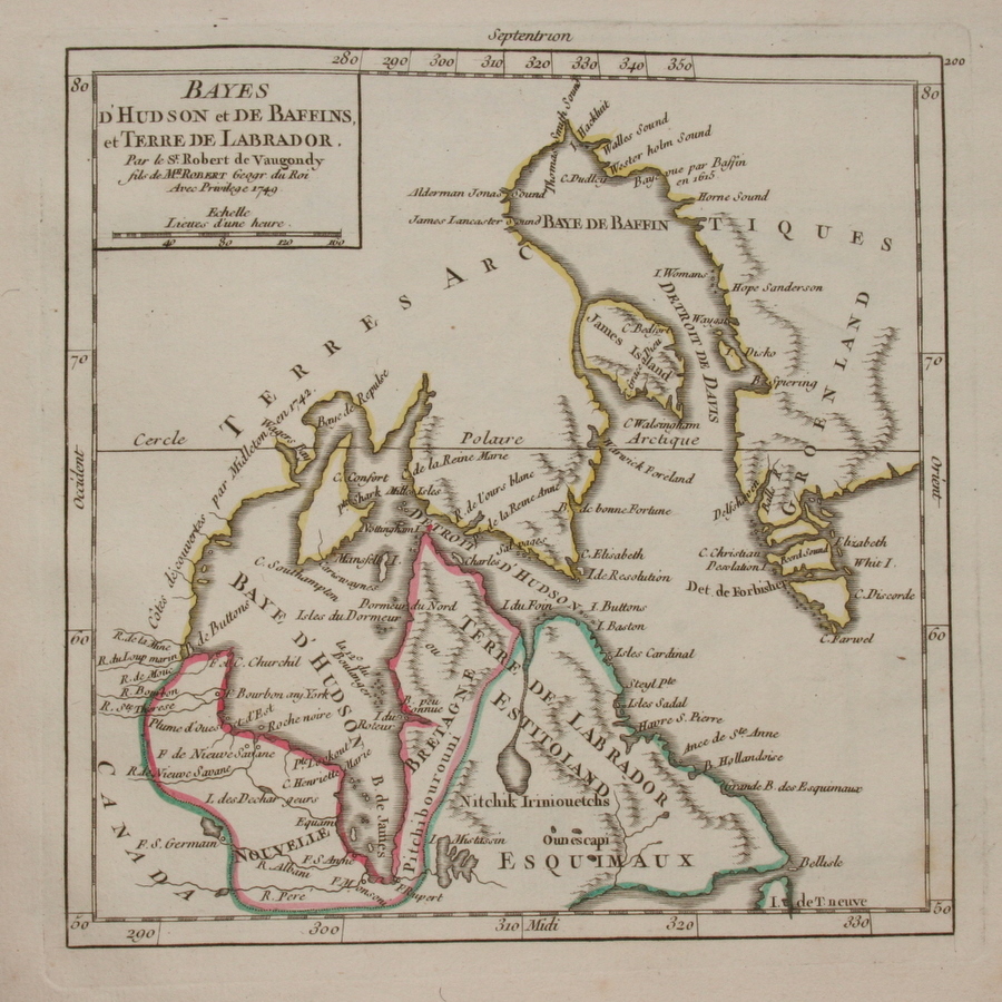
*Hudson's Bay, 1749*
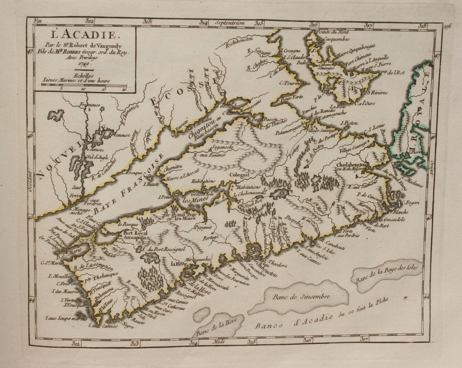
*Nova Scotia, 1749*
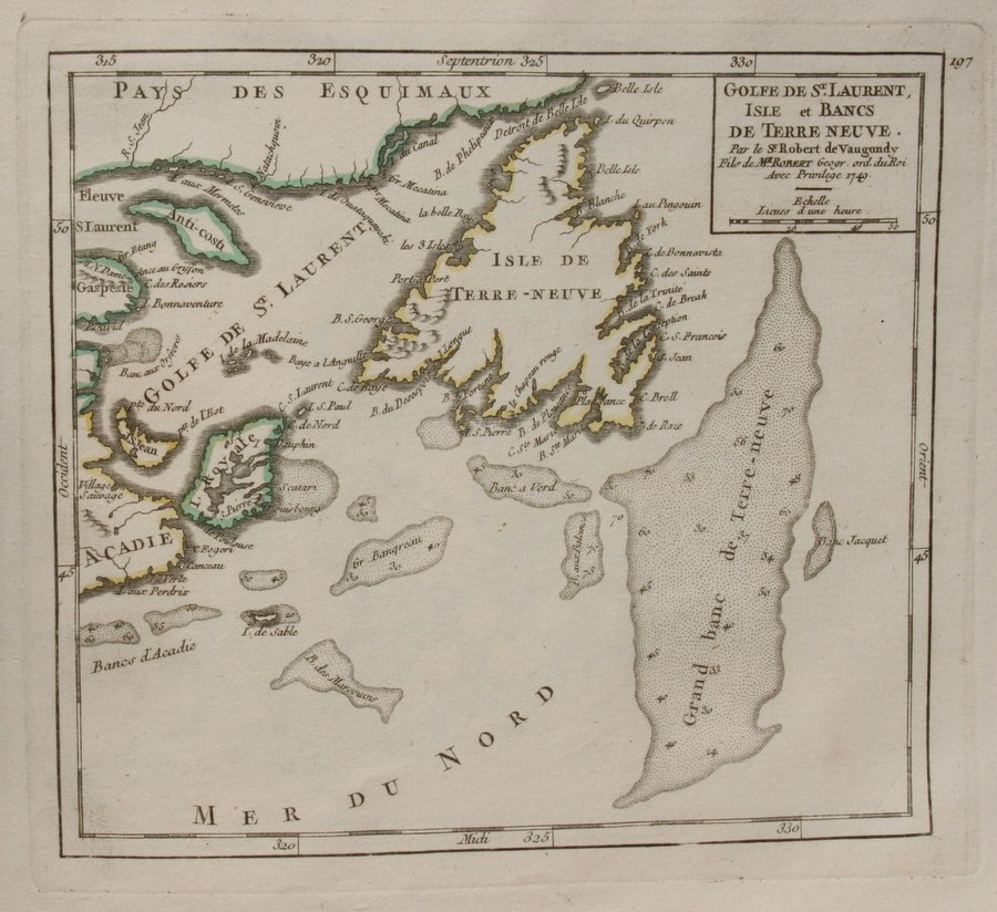
*Newfoundland, 1749*
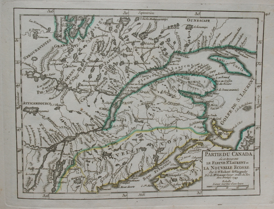
*Eastern Canada, 1749*
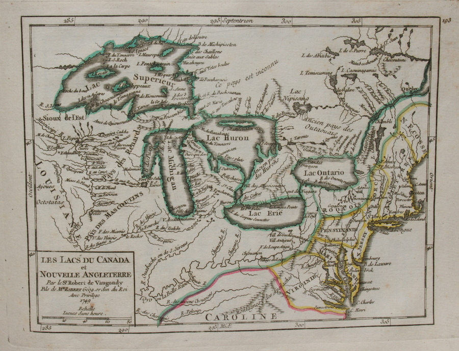
*the Great Lakes, 1749*
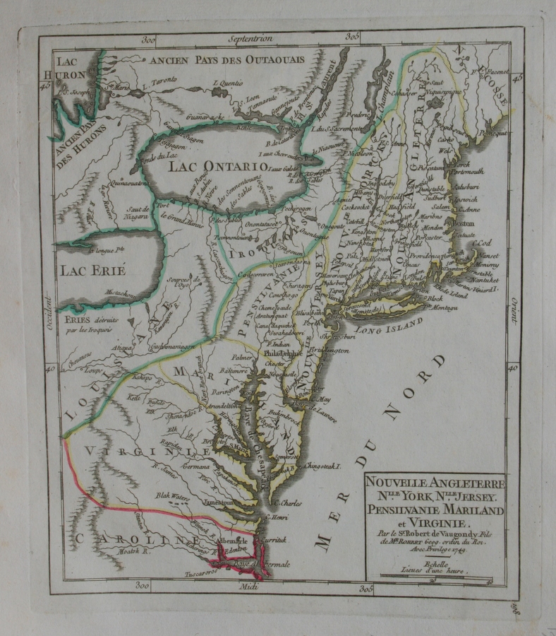
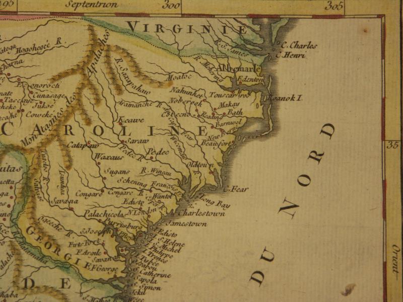
*New England to Virginia, 1749*
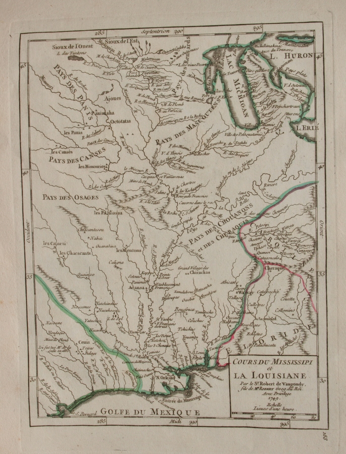
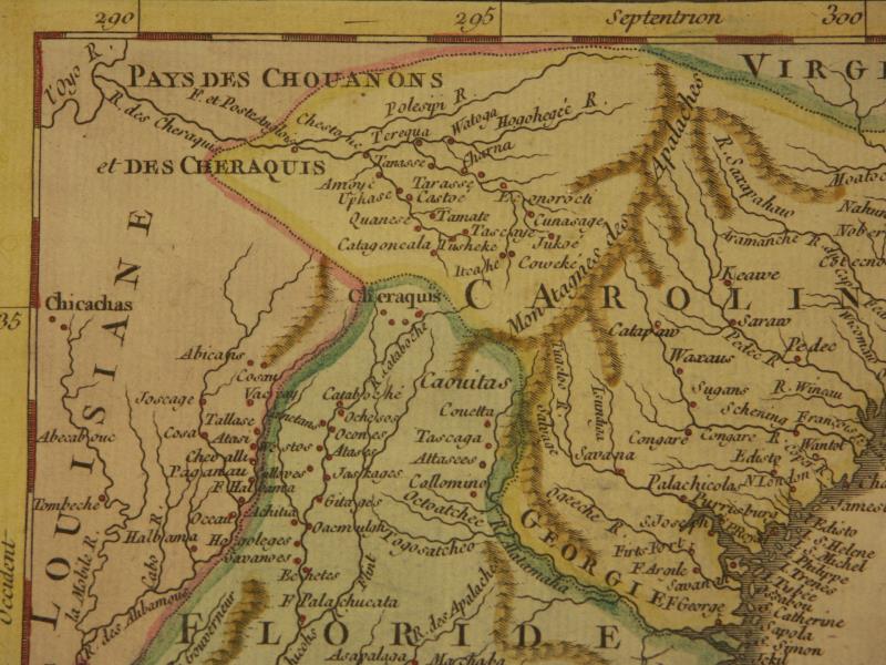
*Louisiana territory, 1749*
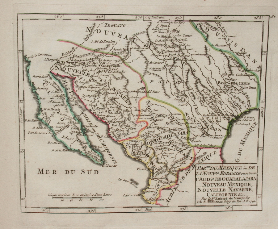
*New Mexico territory, 1749*
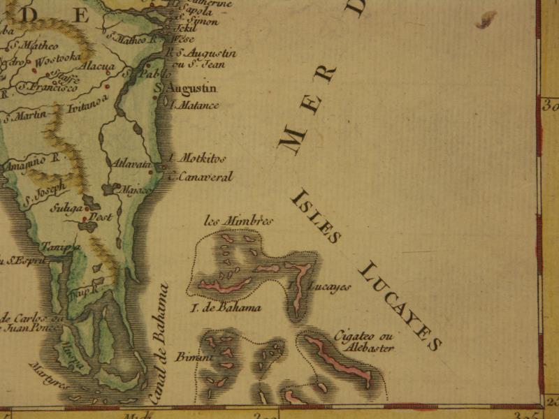
*Florida, 1749*: *northwest*; *northeast*; *southwest*; *southeast*
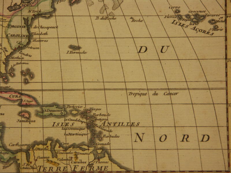
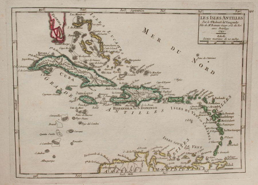
*West Indies, 1749*
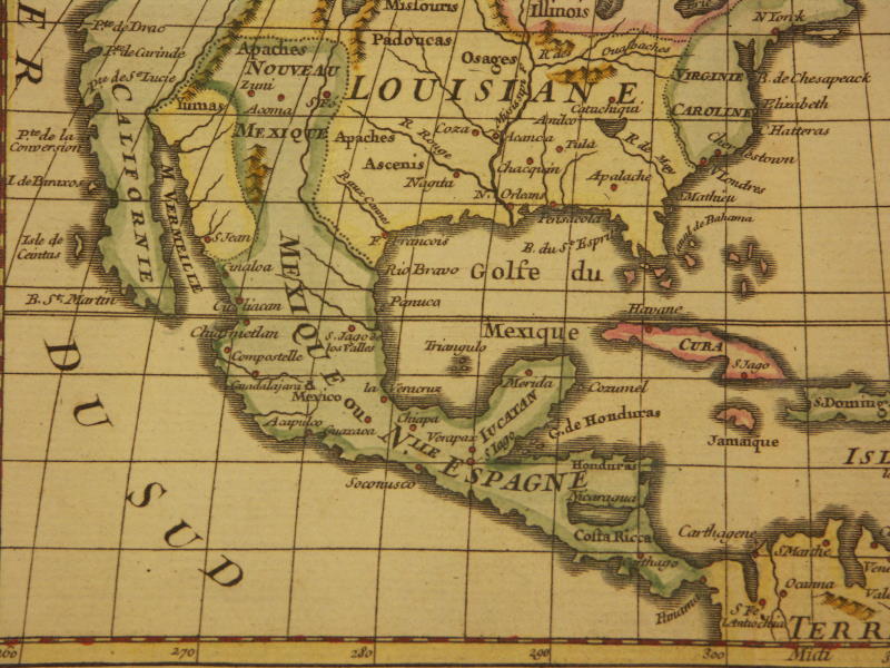
*Mexico, 1749*
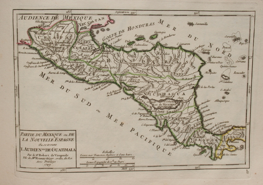
*Central America, 1749*
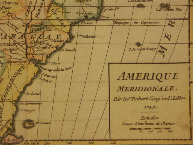
*South America, 1749*: *northwest*; *northeast*; *southwest*; *southeast*
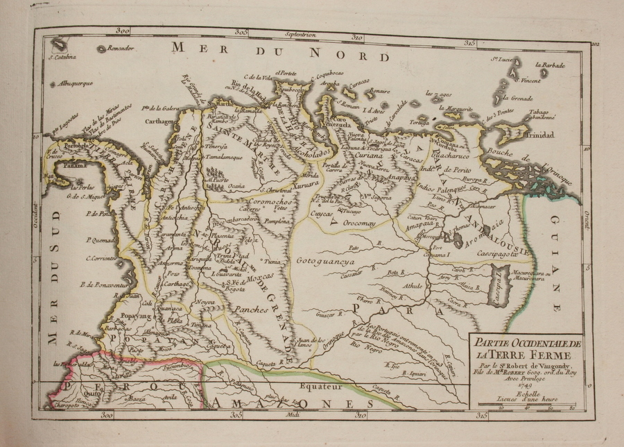
*Colombia, 1749*
*Guiana, 1749*
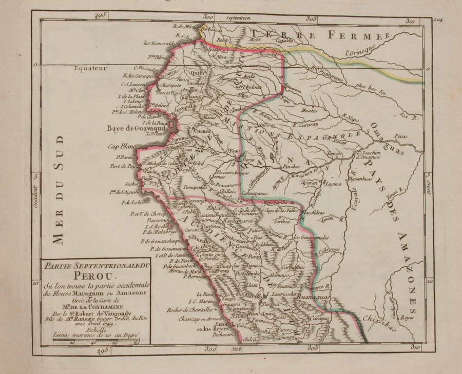
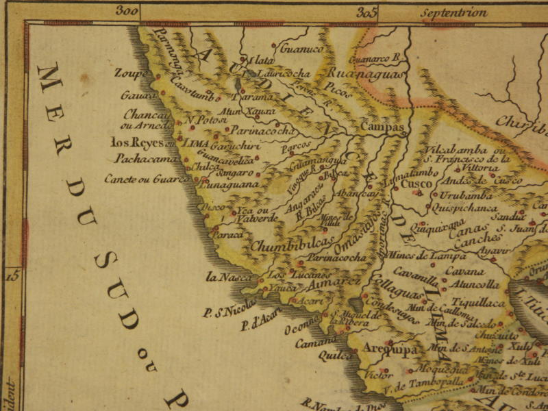
*Northern Peru, 1749*
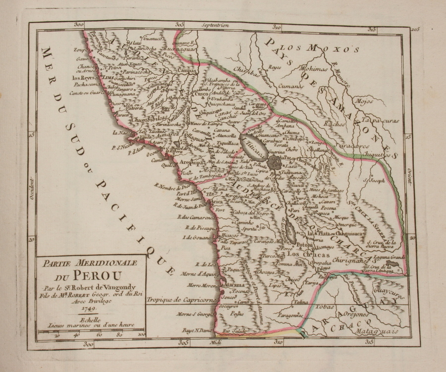
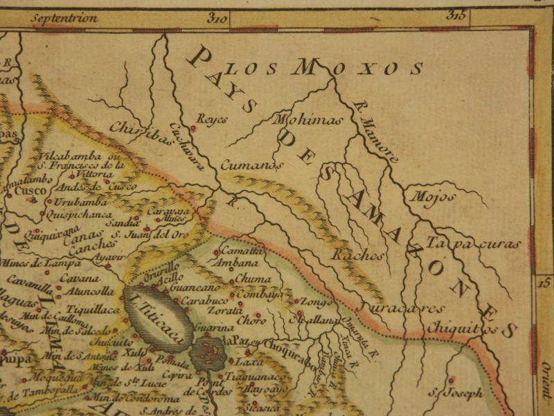
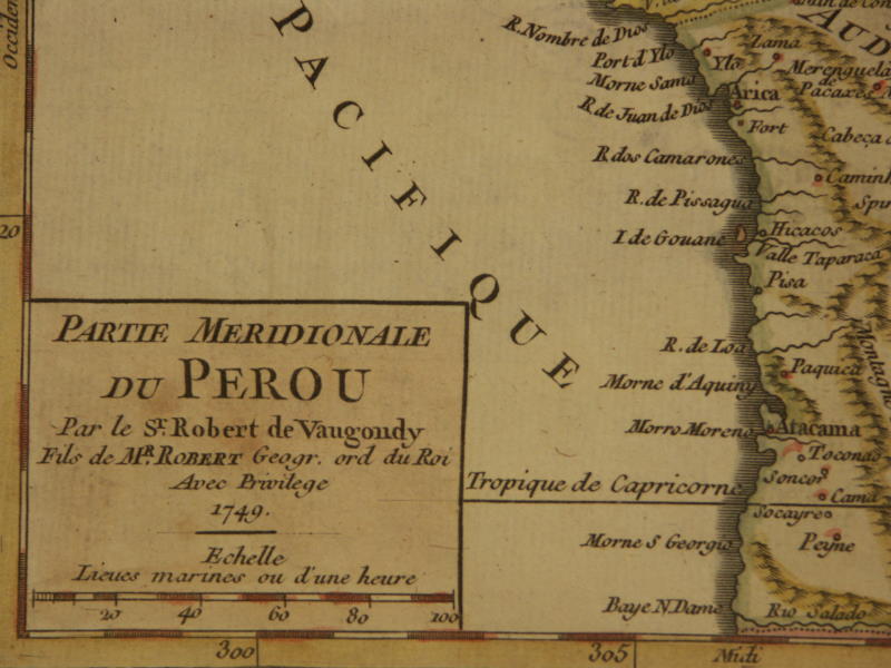
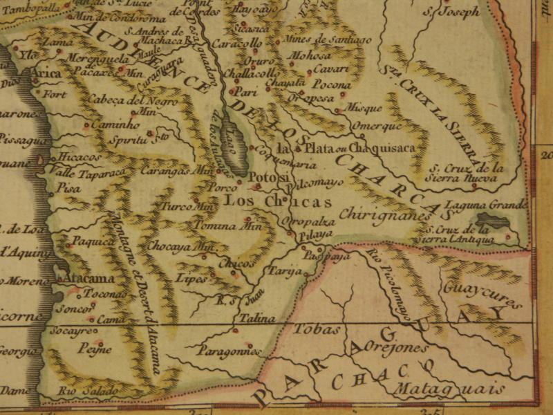
*Southern Peru, 1750*: *northwest*; *northeast*; *southwest*; *southeast*
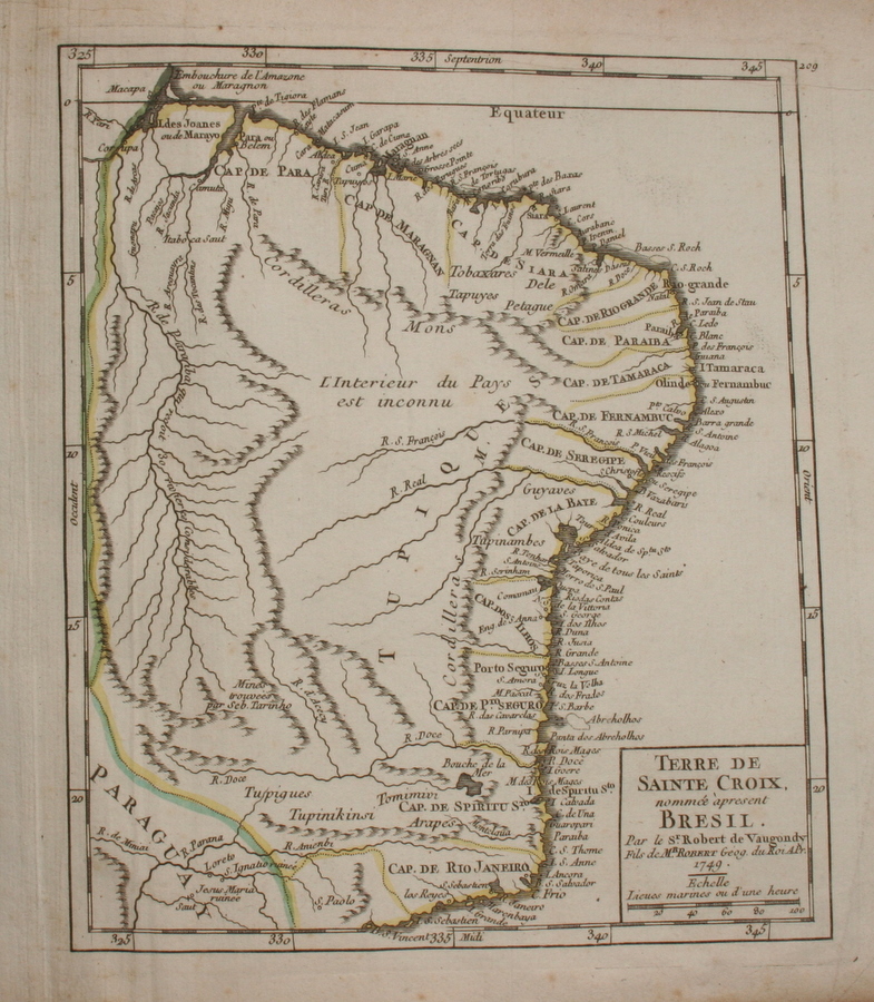
*Brazil, 1749*
*Chile, 1749*
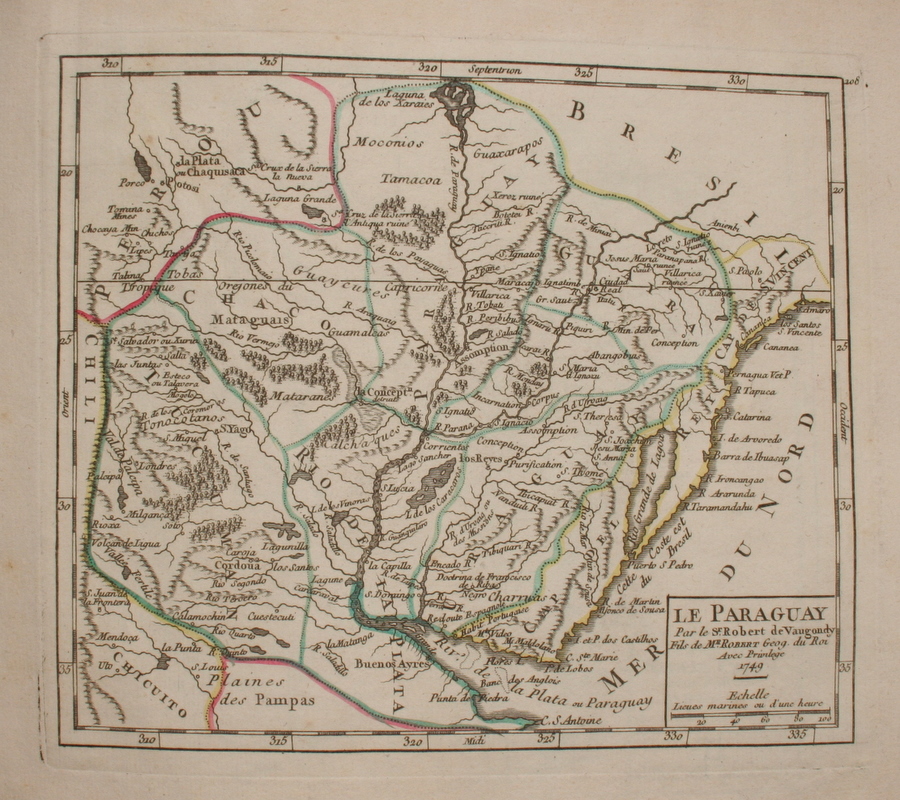
*Paraguay, 1749*
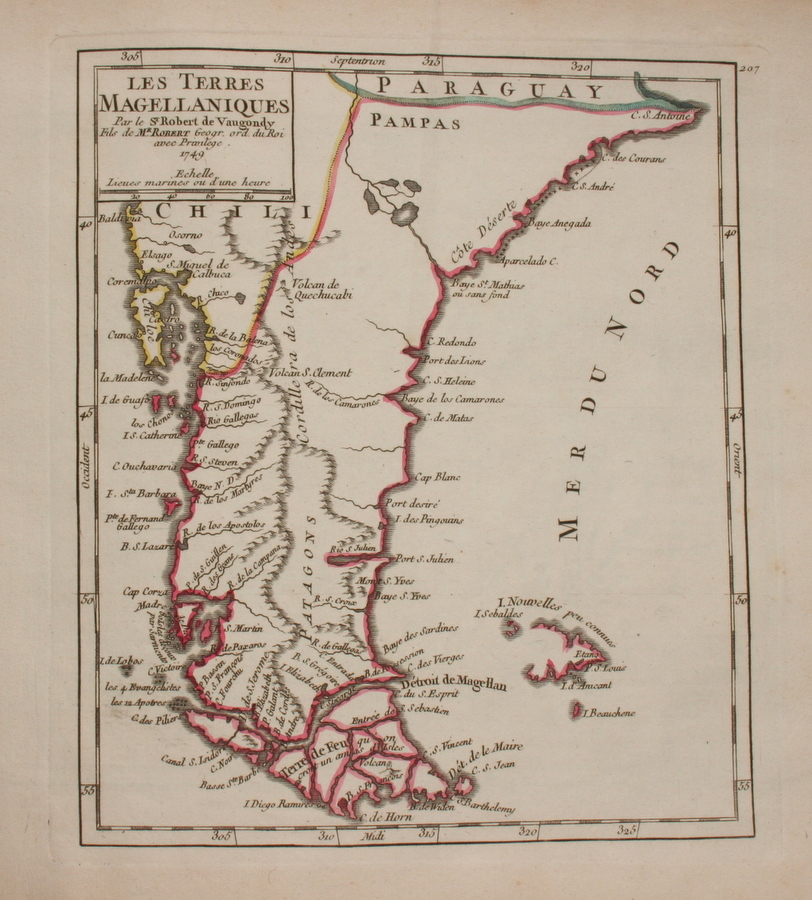
*Patagonia, 1749*
== de Vaugondy index == Mughal index == Main map index == Glossary == FWP's main page ==