MERCATOR/HONDIUS ATLAS MAPS, 1634 and similar
editions
MERCATOR/HONDIUS ATLAS MAPS, 1634 and similar
editions
Maps from the miniature atlas by *Mercator*, Hondius, and Jansson, Amsterdam, 1634; this is an updated edition of the version of 1607. Some maps have modern hand coloring. Maps from other editions are in square brackets
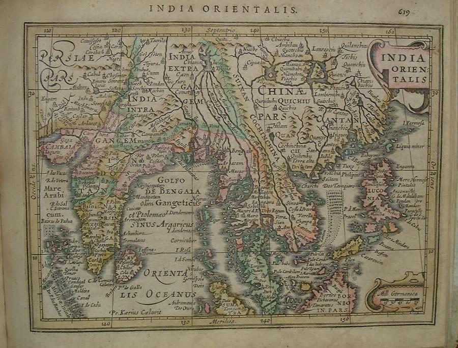
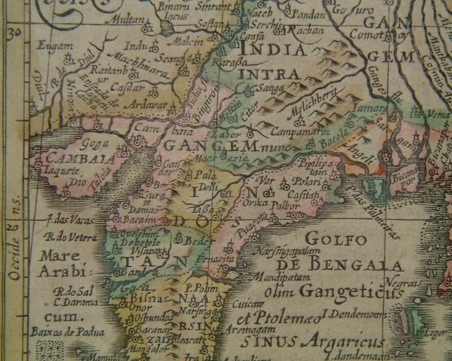
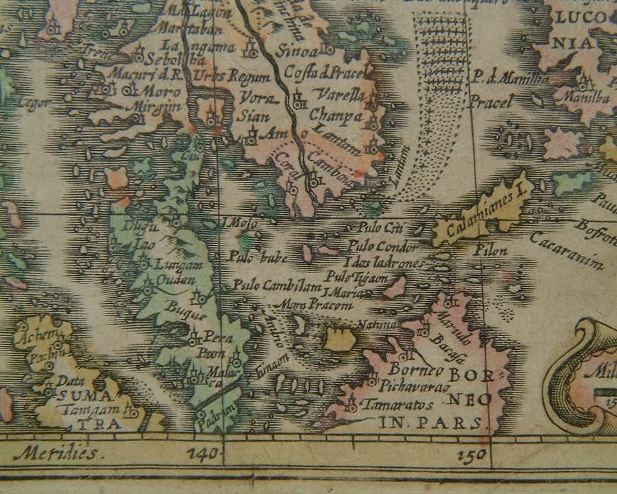
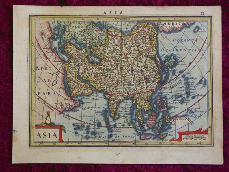
=*the two hemispheres*: *northwest*; *northeast*; *southwest*; *southeast*; *Eurasia and Africa*; *the Americas*=*south and southeast Asia*: *South Asia*; *Indonesia*
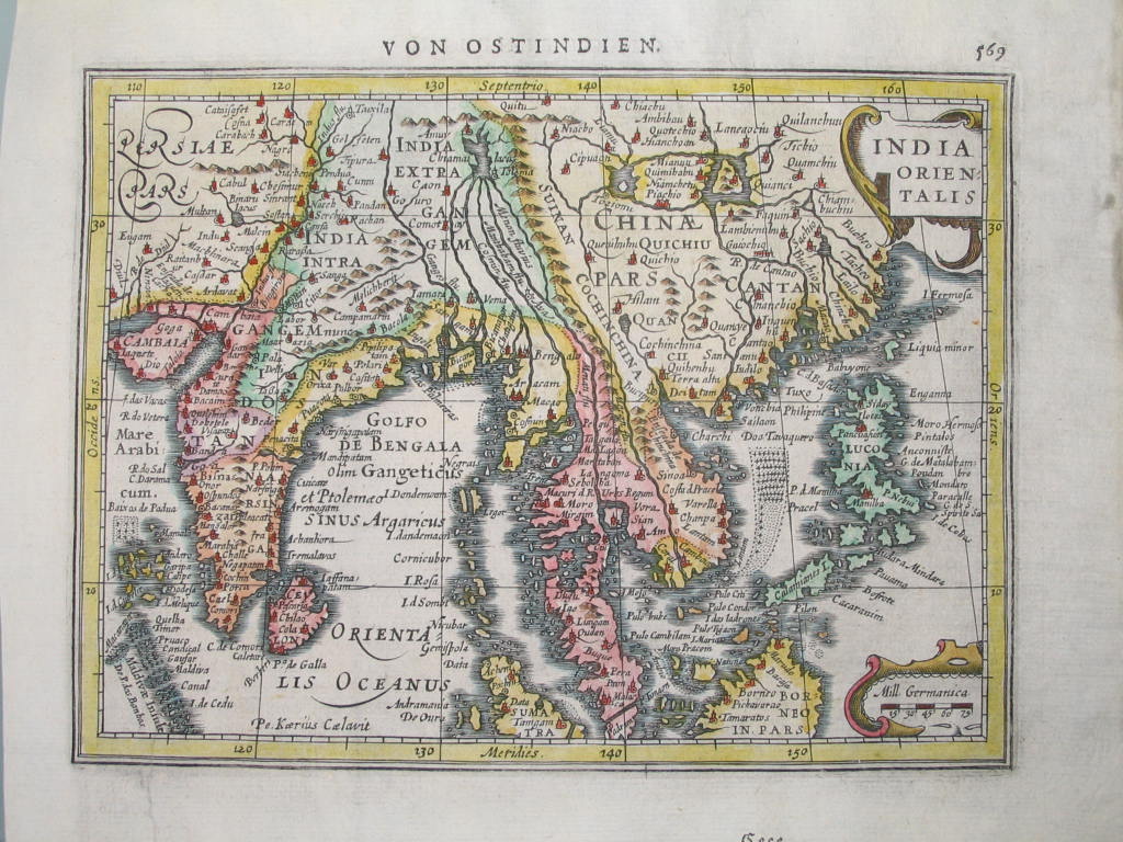
[=*south and southeast Asia, 1606 ed.*; *South Asia*]
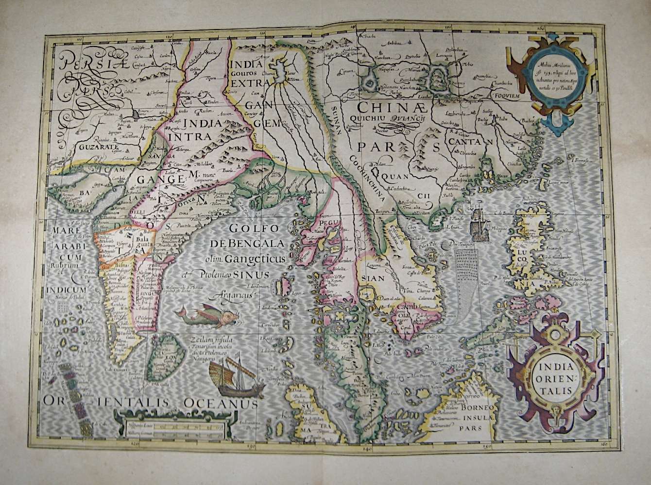
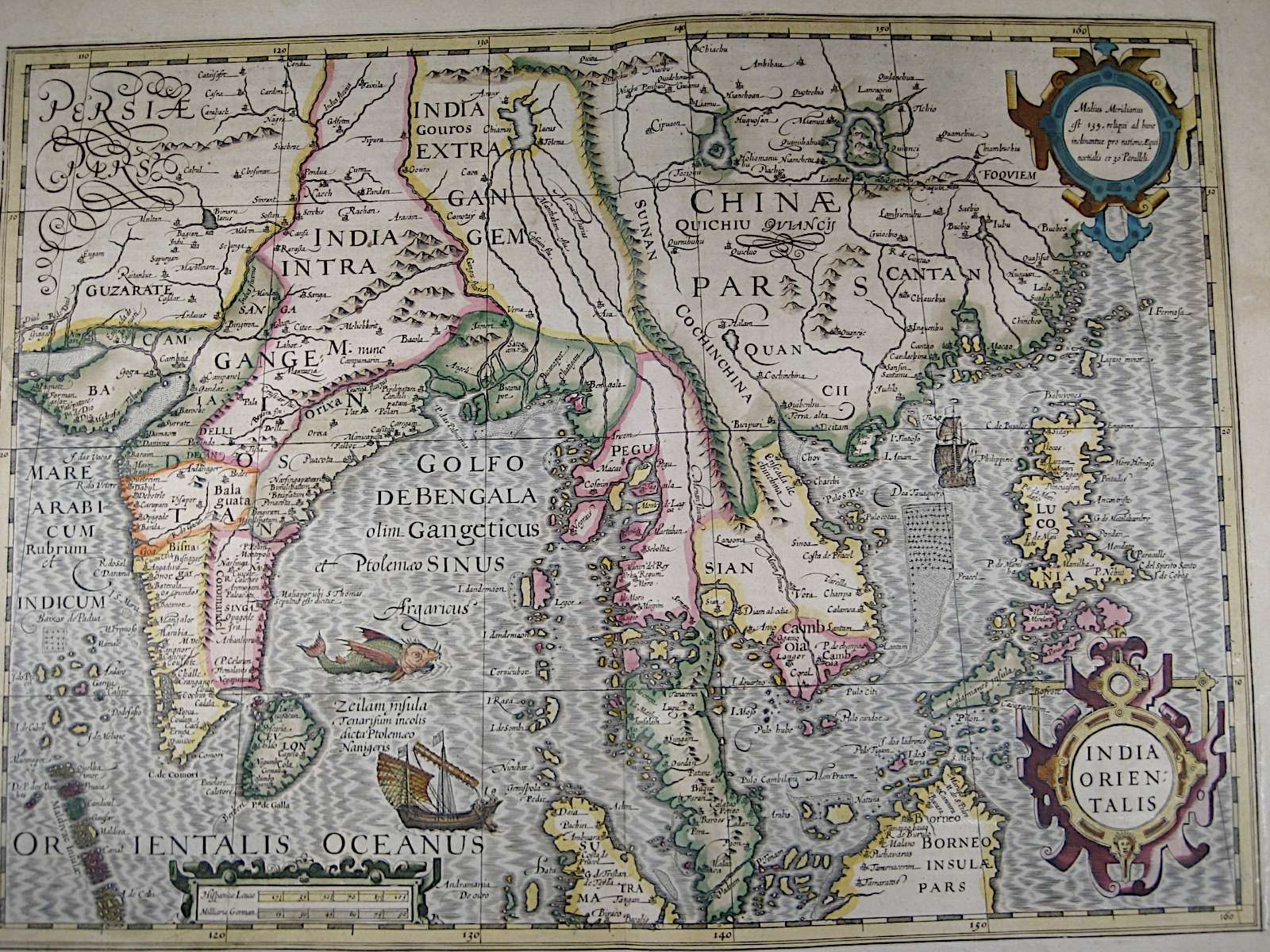
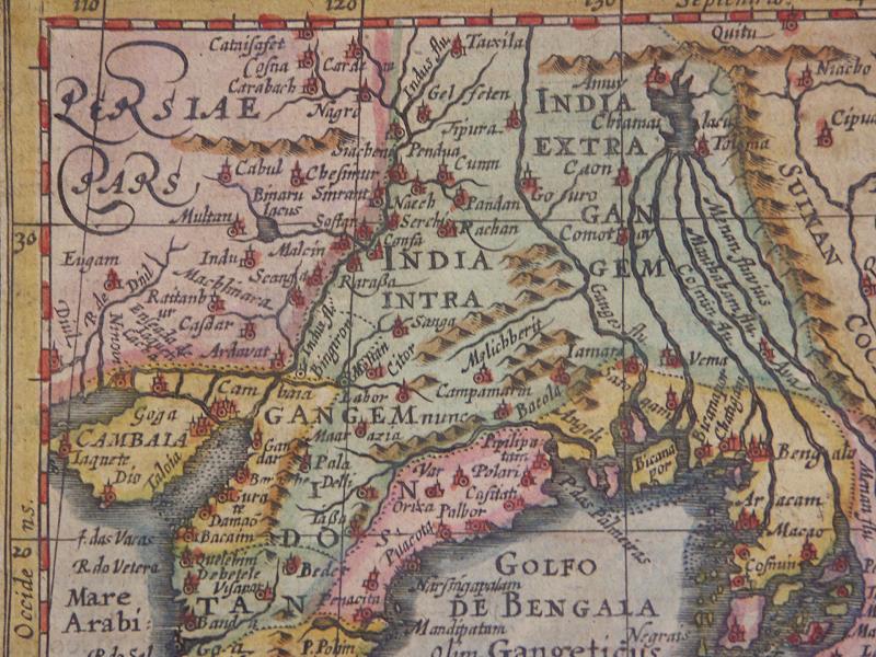
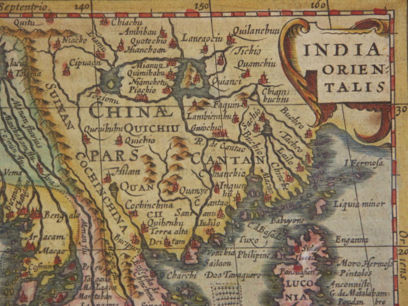
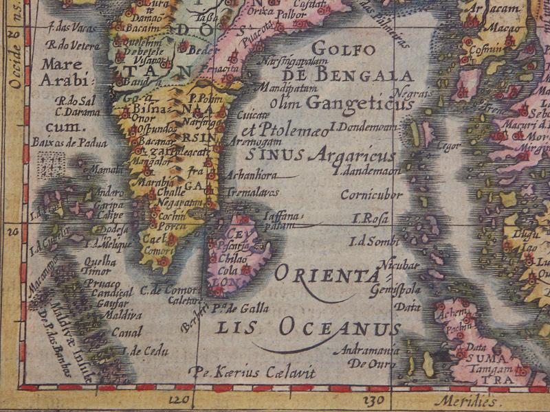
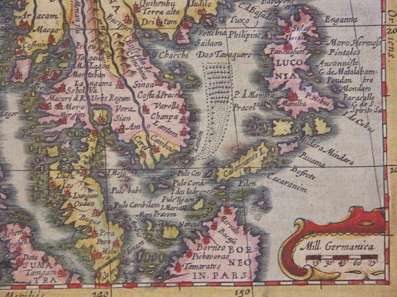
[=*south and southeast Asia, 1631 ed.*: *northwest*; *northeast*; *southwest*; *southeast*][[*A discussion of the South and Southeast Asia map*]]=*Ceylon*: *northwest*; *northeast*; *southwest*; *southeast*
[=*Ceylon, 1628 ed.*: *northwest*; *northeast*; *southwest*; *southeast*]
[=*Ceylon, 1631 ed.*: *northwest*; *northeast*; *southwest*; *southeast*]
=*Persia*: *northwest*; *northeast*; *southwest*; *southeast*
[=*Persia, 1628 ed.*: *northwest*; *northeast*; *southwest*; *southeast*]
[=*Persia, 1631 ed.*: *northwest*; *northeast*; *southwest*; *southeast*][=*Asia, 1631 ed.*: *northwest*; *northeast*; *southwest*; *southeast*]
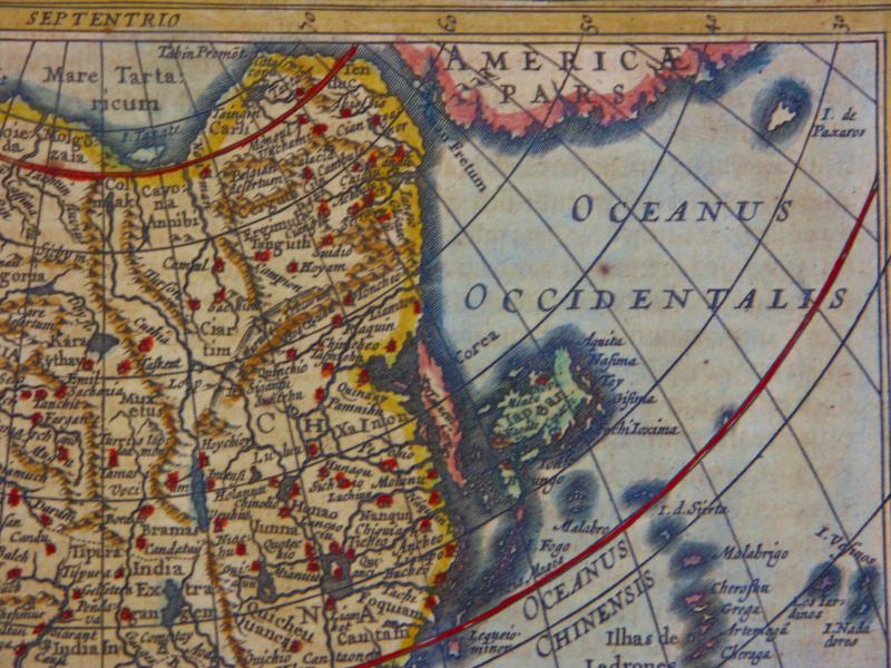
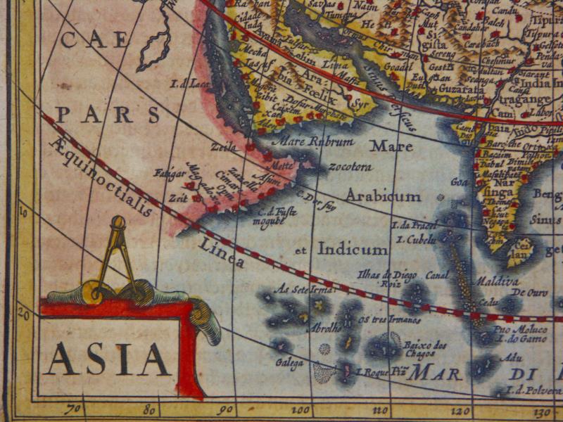
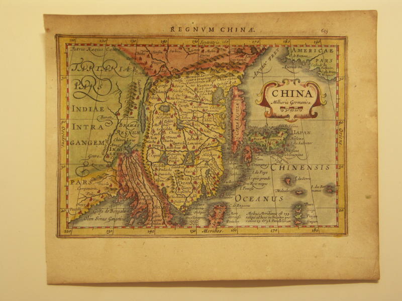
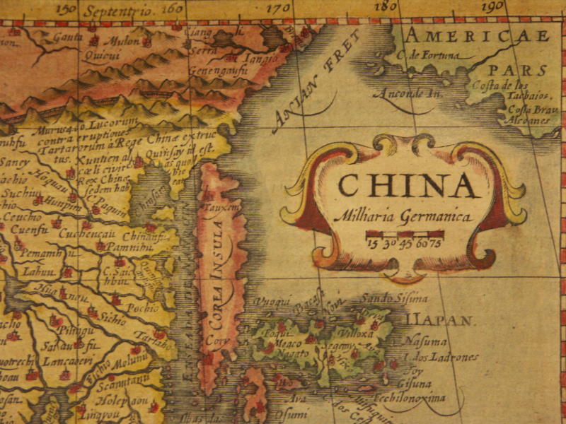
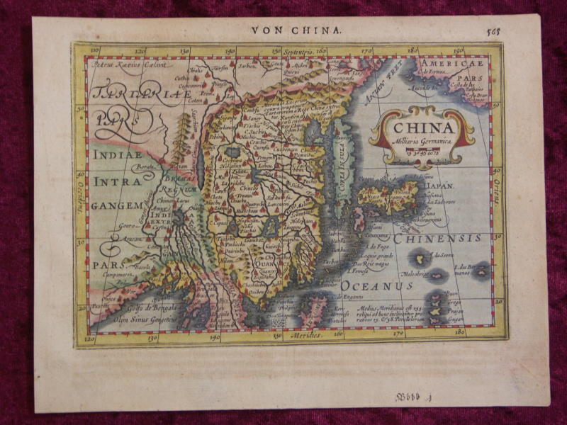
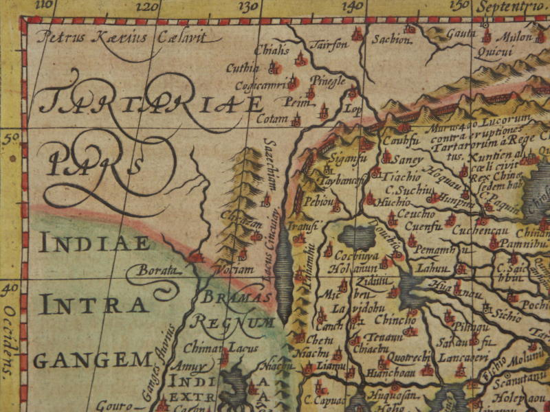
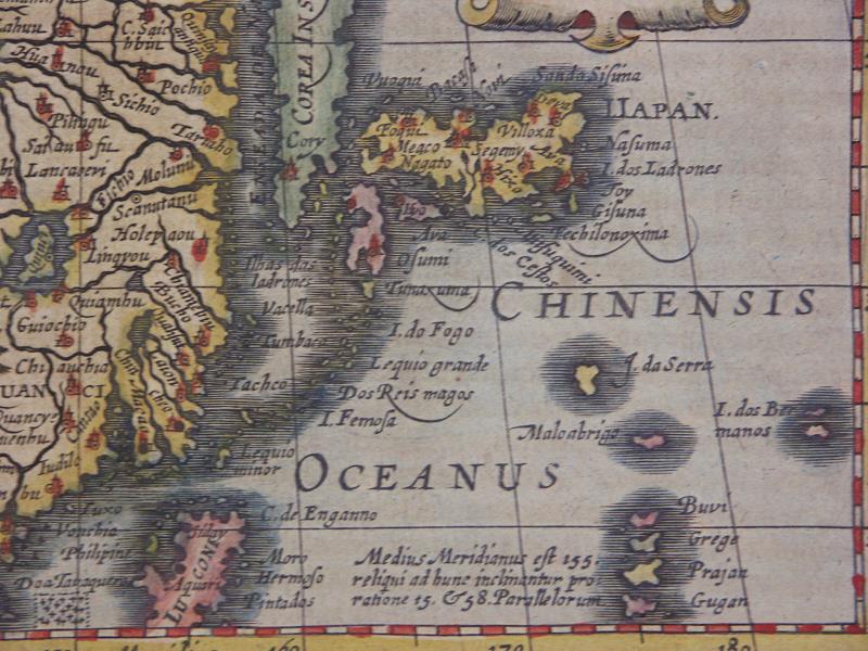
=*East Asia*: *northwest*; *northeast*; *southwest*; *southeast*
[=*China, 1631 ed.*: *northwest*; *northeast*; *southeast*]
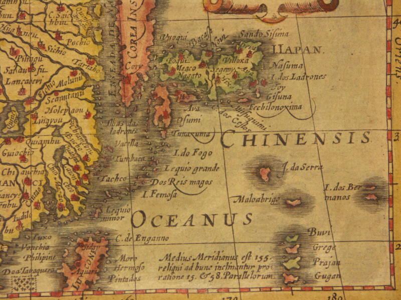
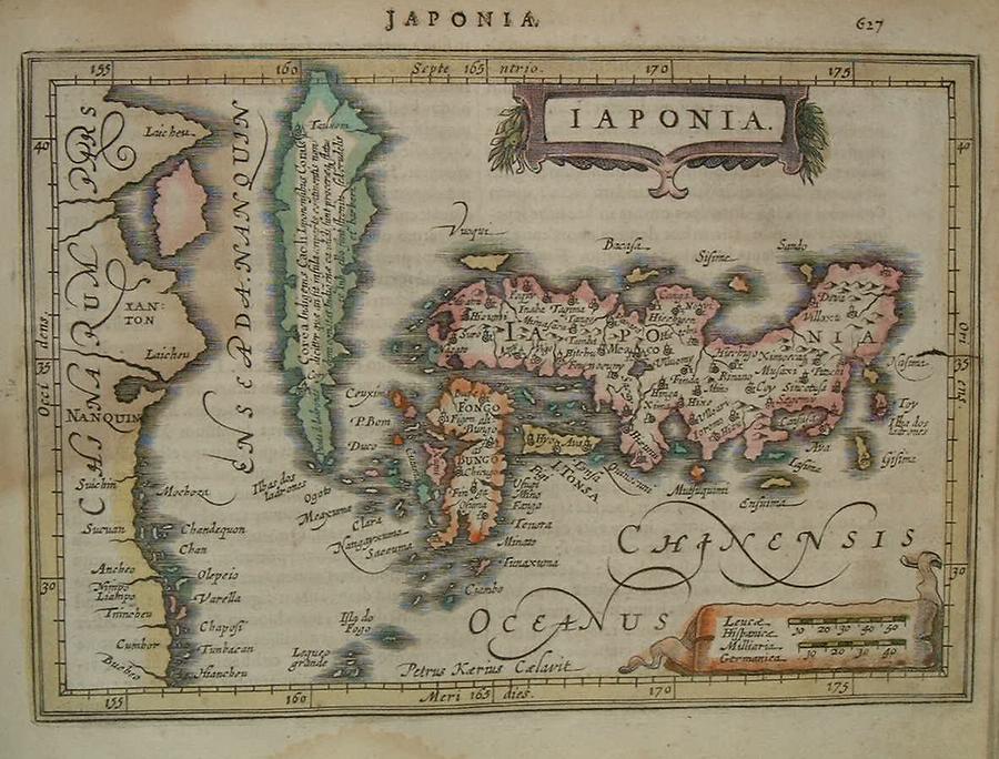
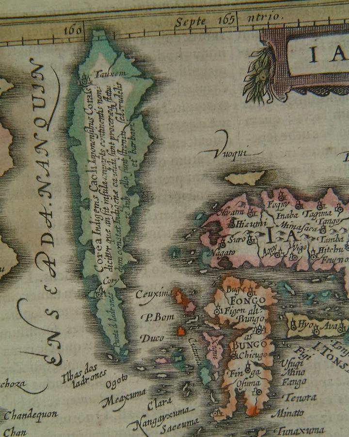
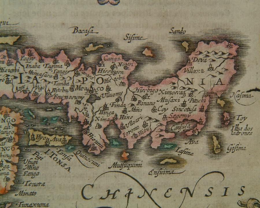
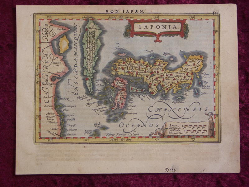
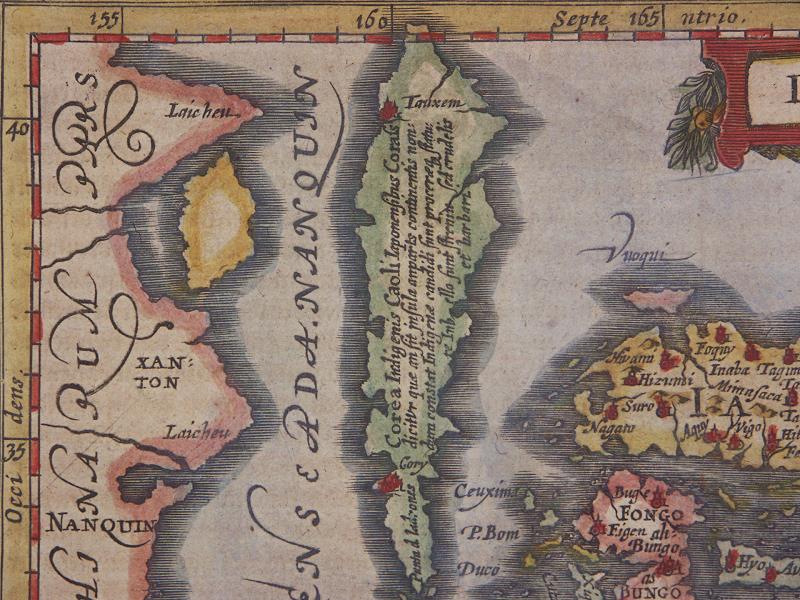
=*Japan*: *north (Korea)*; *south*
[=*Japan, 1631 ed.*: *northwest*; *northeast*; *southeast*]
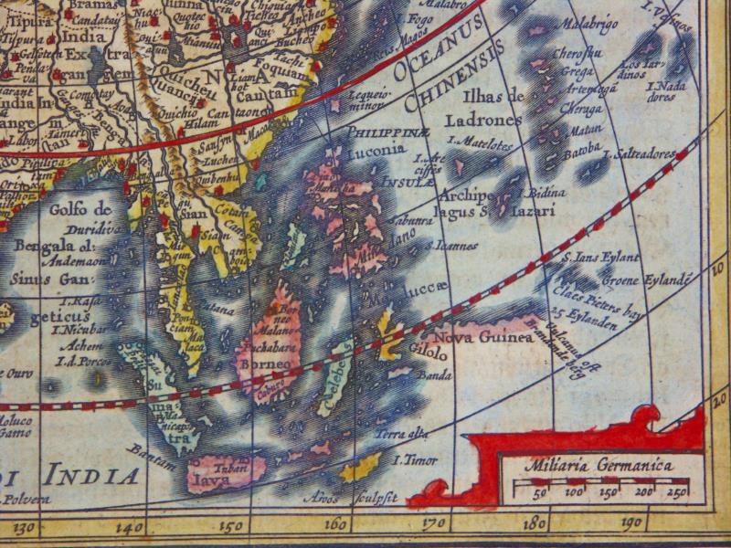
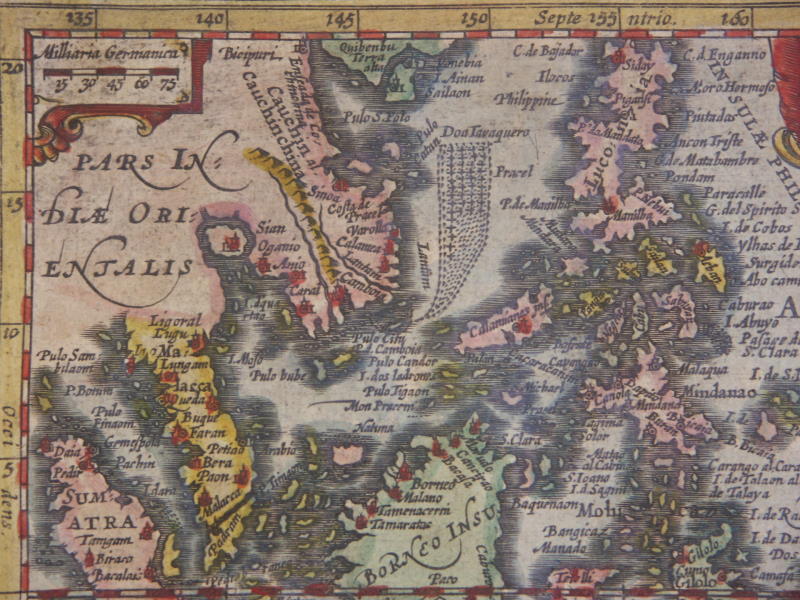
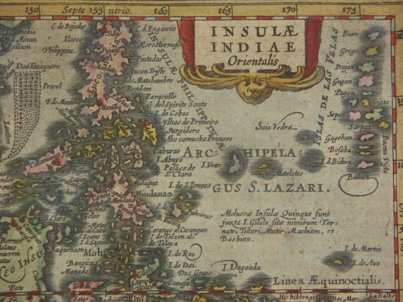
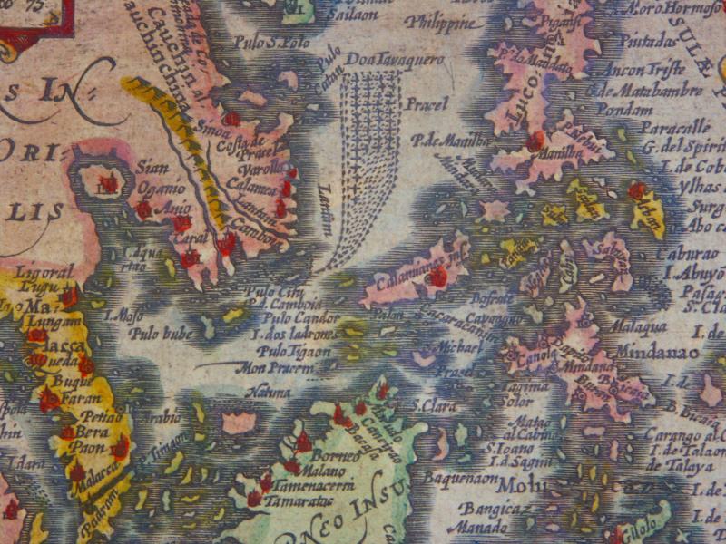
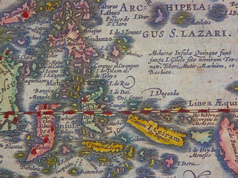
=*Indonesia*: *detail 1*; *detail 2*
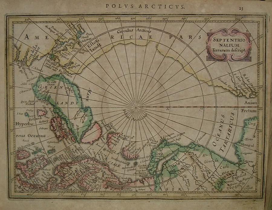
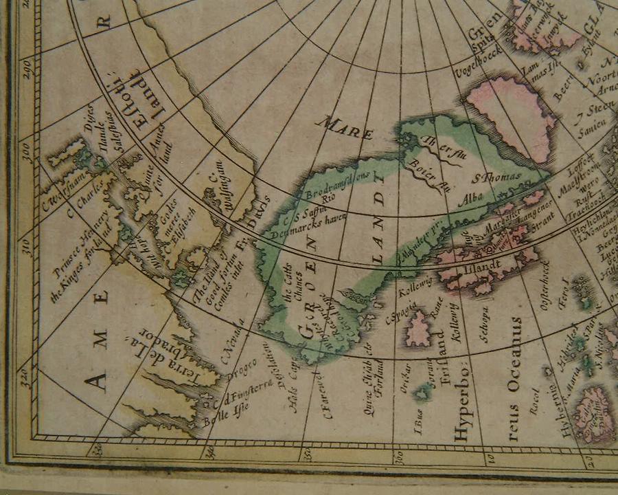
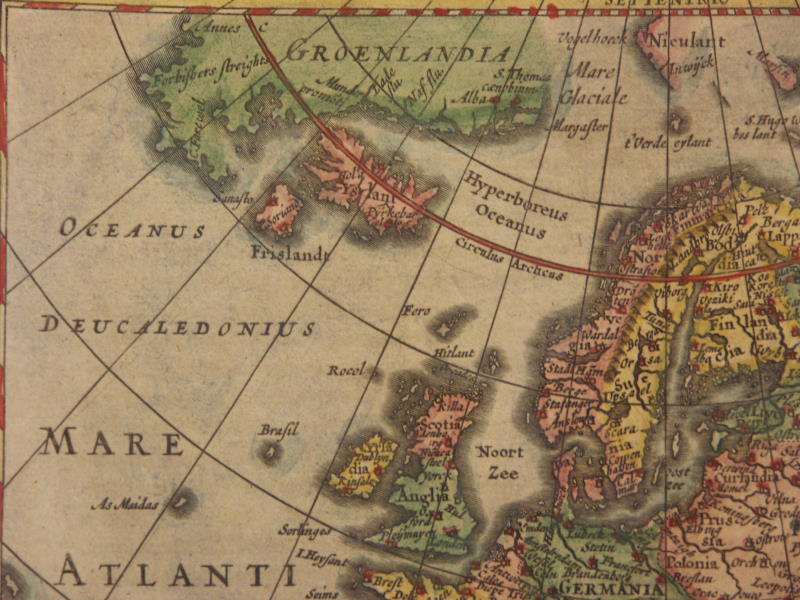
[=*Indonesia, 1631 ed.*: *northwest*; *northeast*; *detail 1*; *detail 2*]=*the North Polar view*: *Greenland*
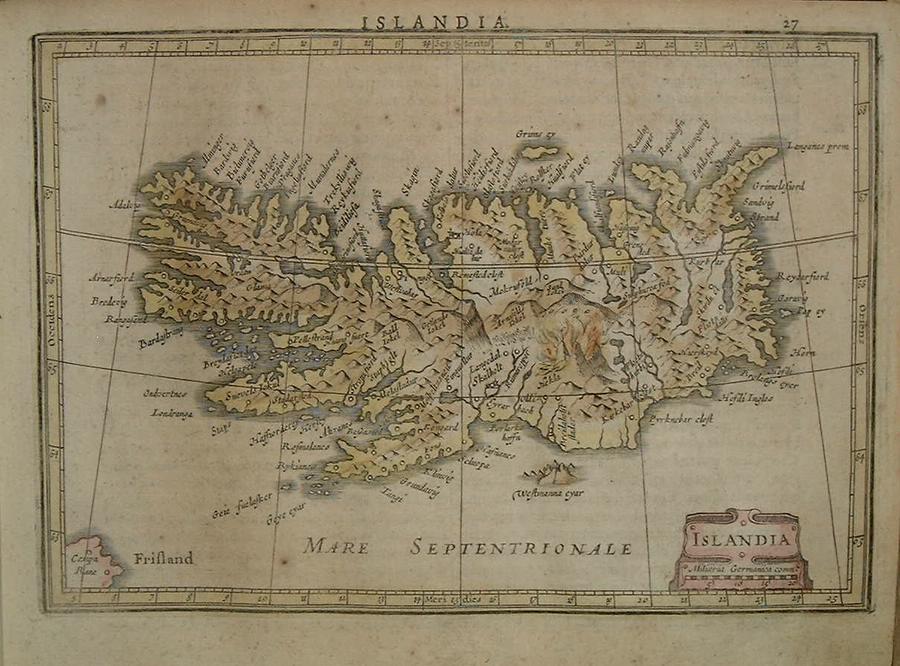
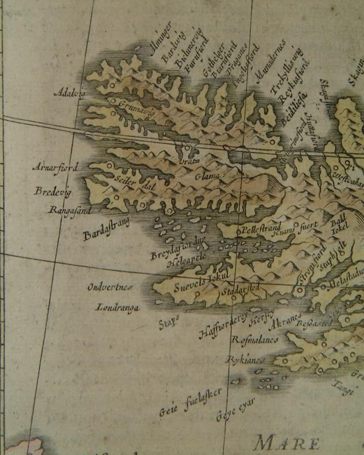
=*Iceland*: *west*; *east*
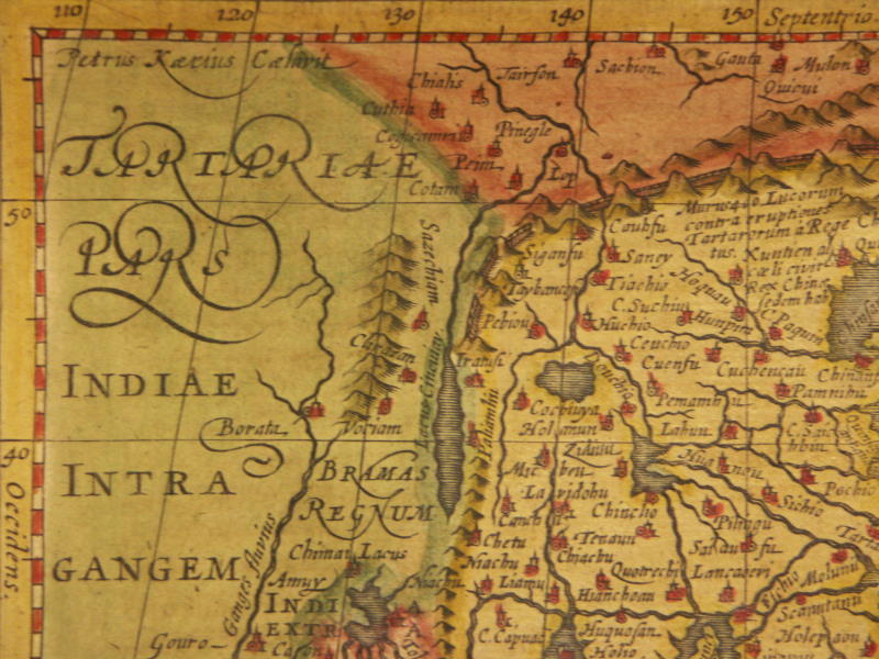
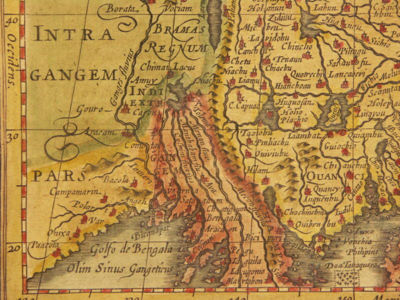
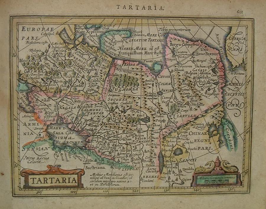
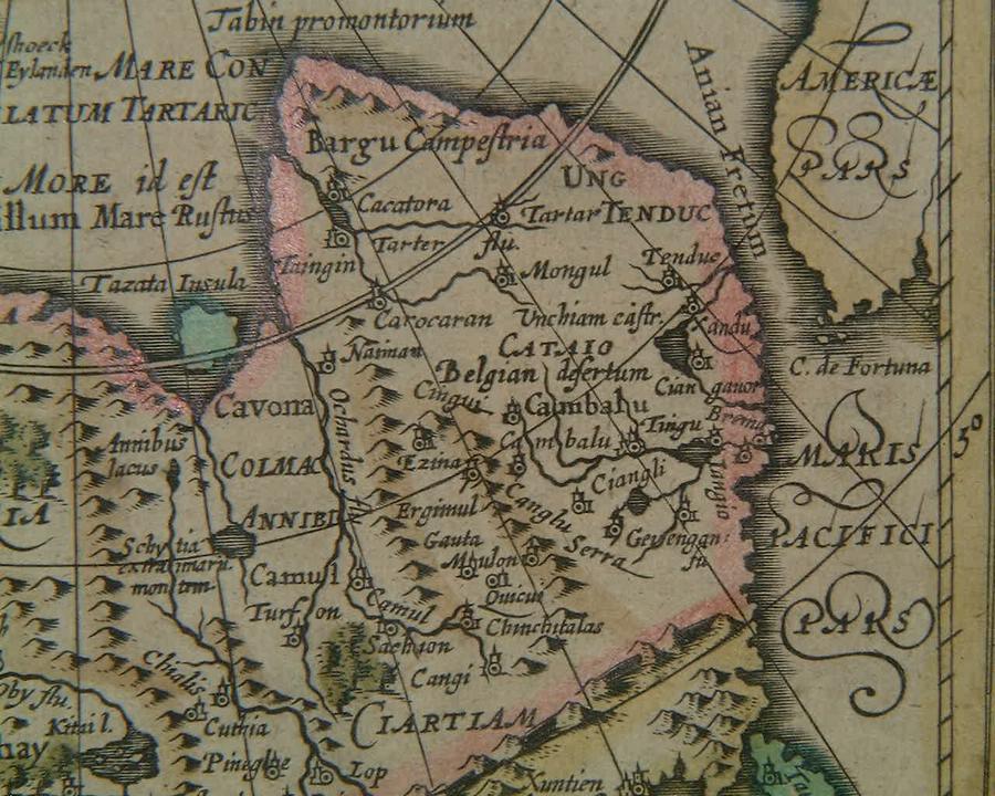
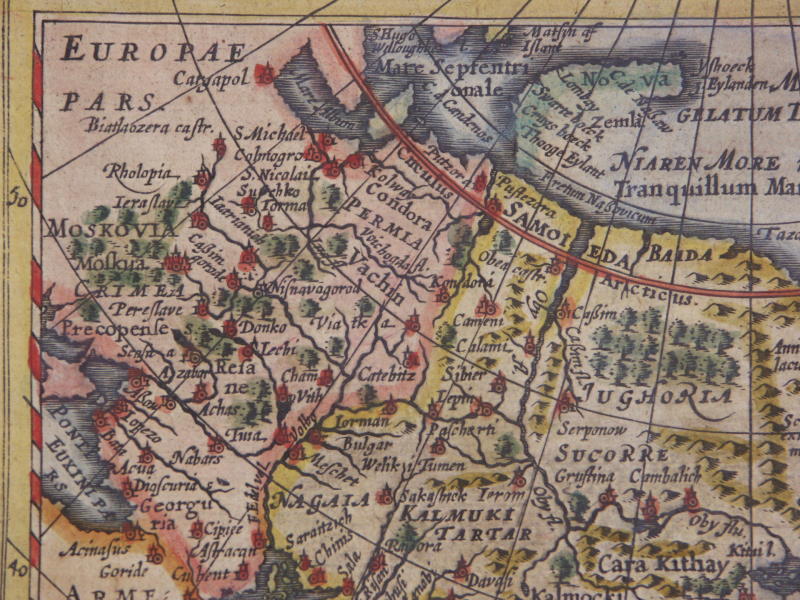
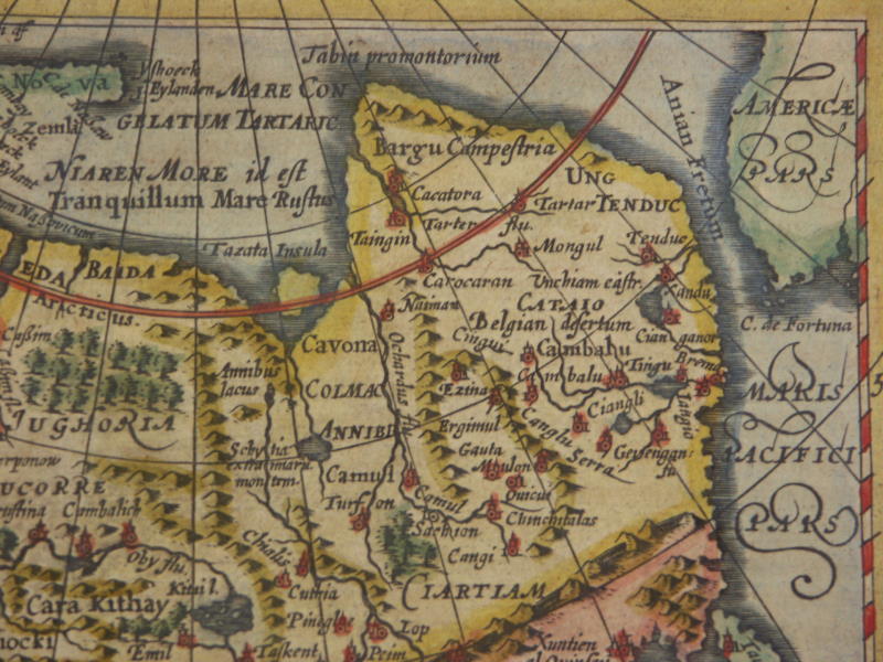
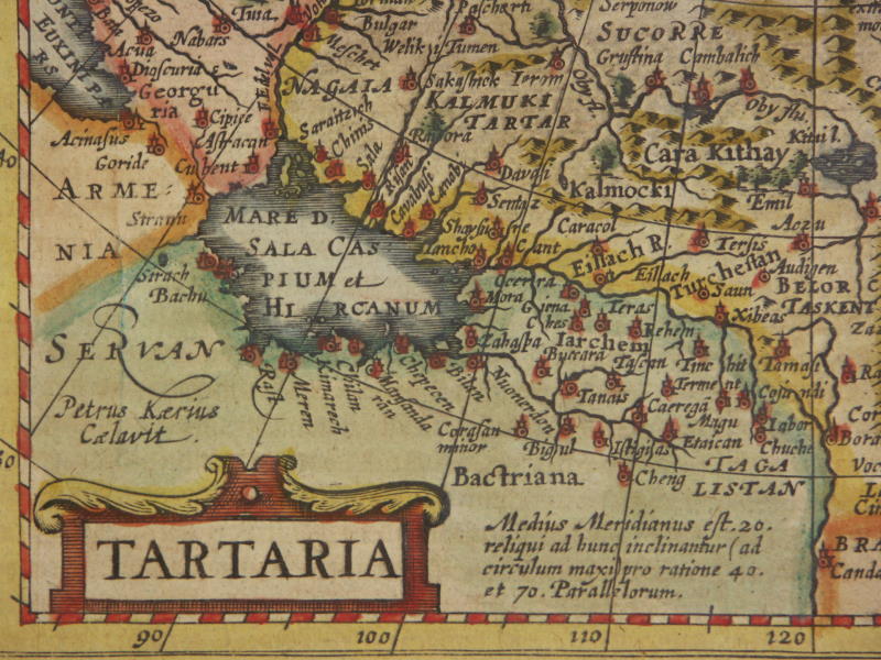
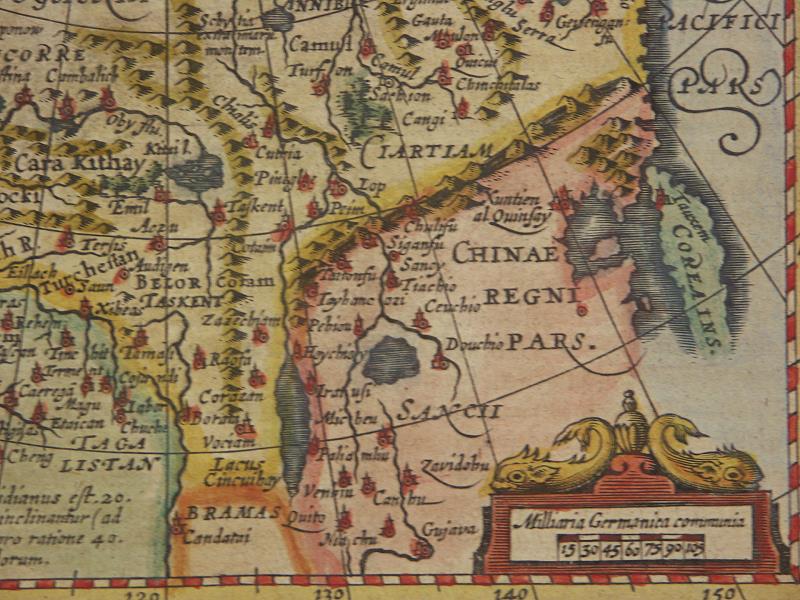
=*Tartaria*: *detail 1*; *detail 2*
[=*Tartaria, 1631 ed.*: *northwest*; *northeast*; *southwest*; *southeast*]
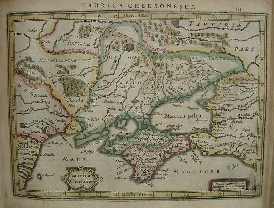
=*Crimea, Ukraine*
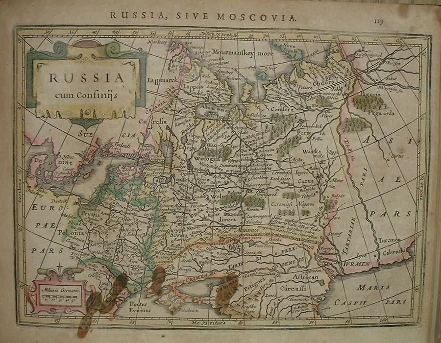
=*Russia*
=*Scandinavia*: *detail 1*; *detail 2*
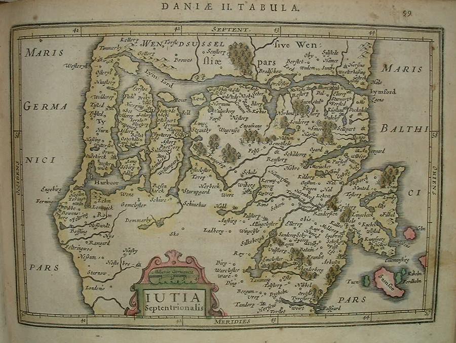
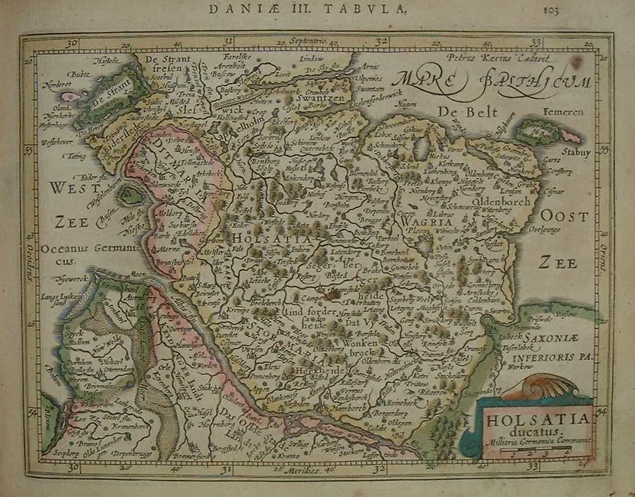
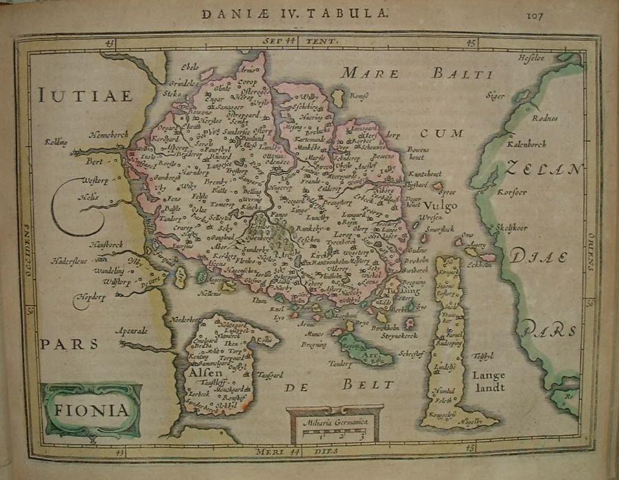
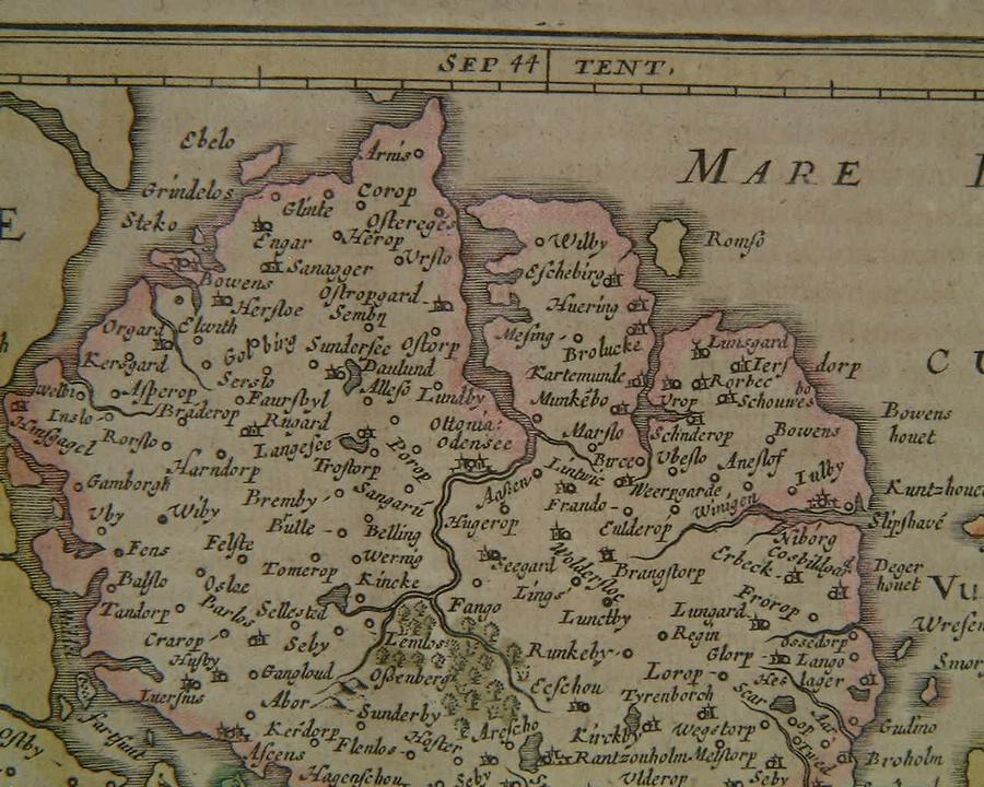
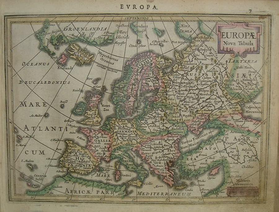
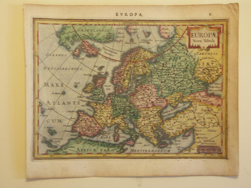
=*northern Denmark* // =*Holstein, Denmark* // =*Denmark*: *a closer view*=*Europe*: *western Europe*; *eastern Europe*
=*Europe* (different modern hand coloring: *northwest*; *northeast*; *southwest*; *southeast*
=*Transylvania, Romania*
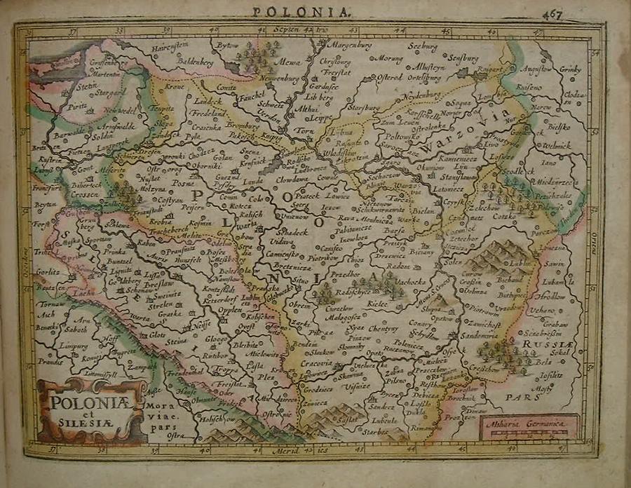
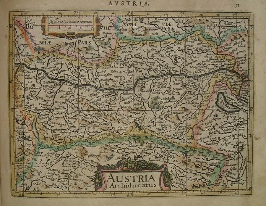
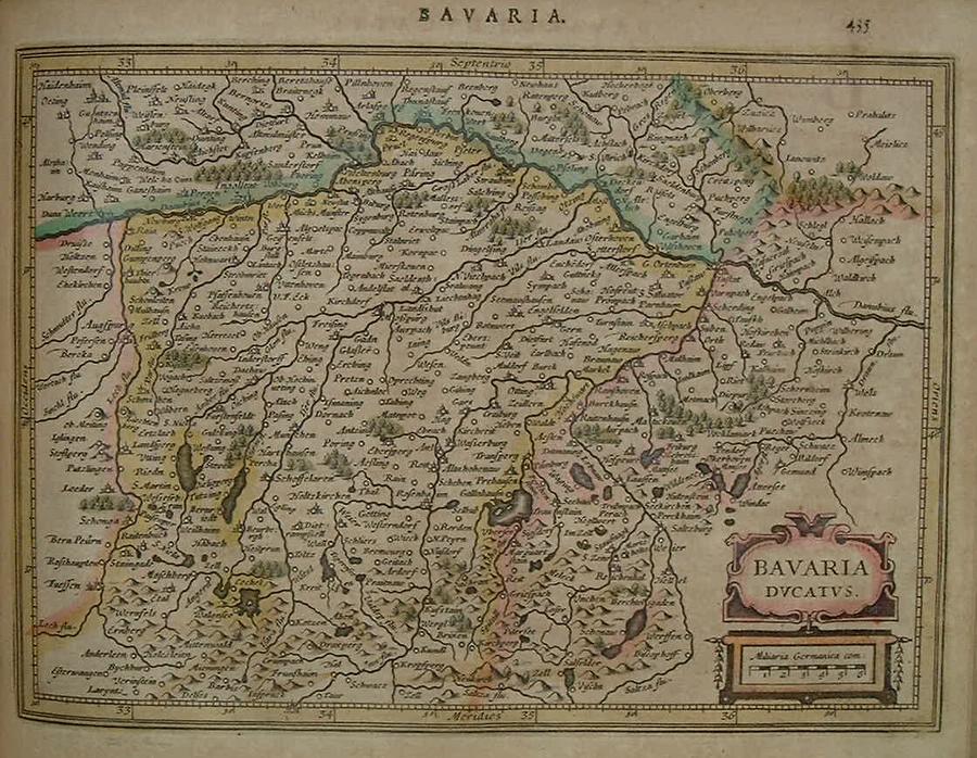
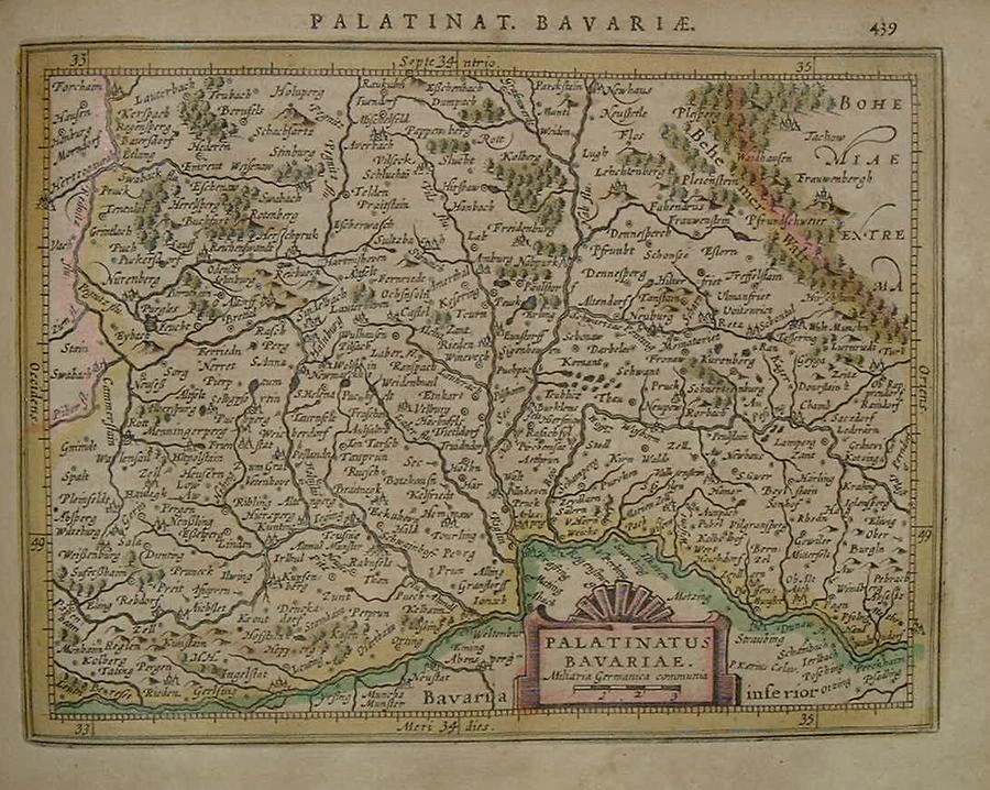
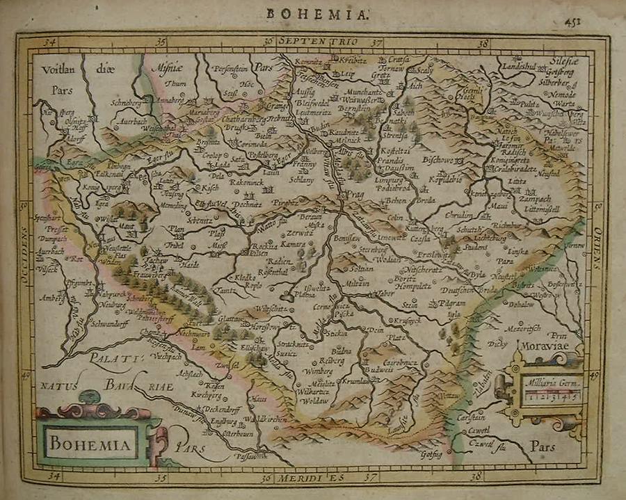
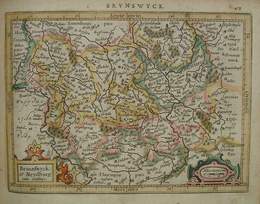
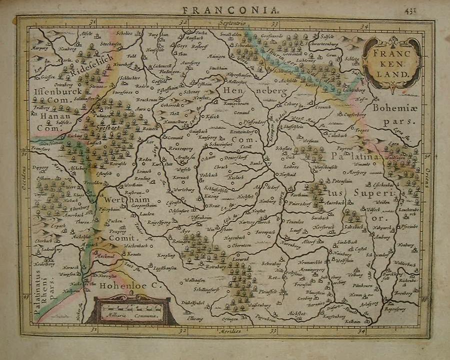
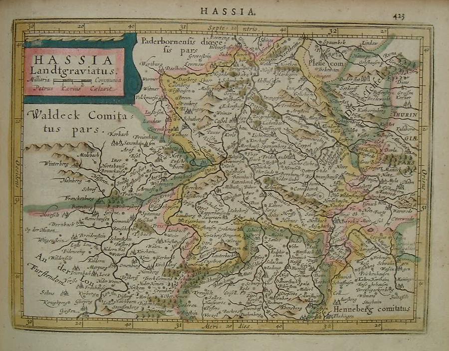
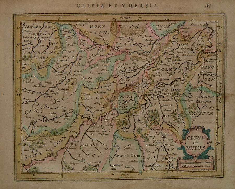
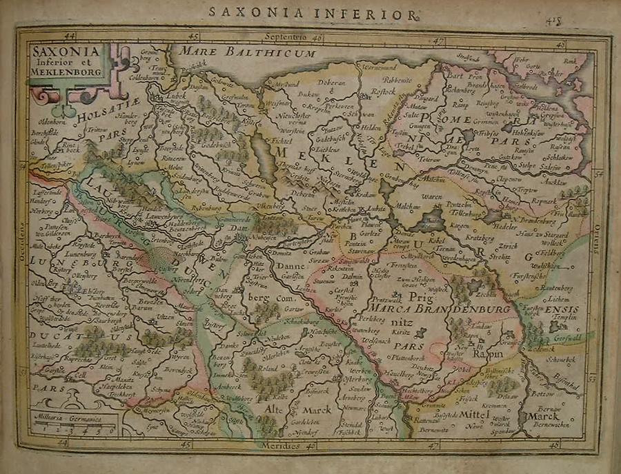
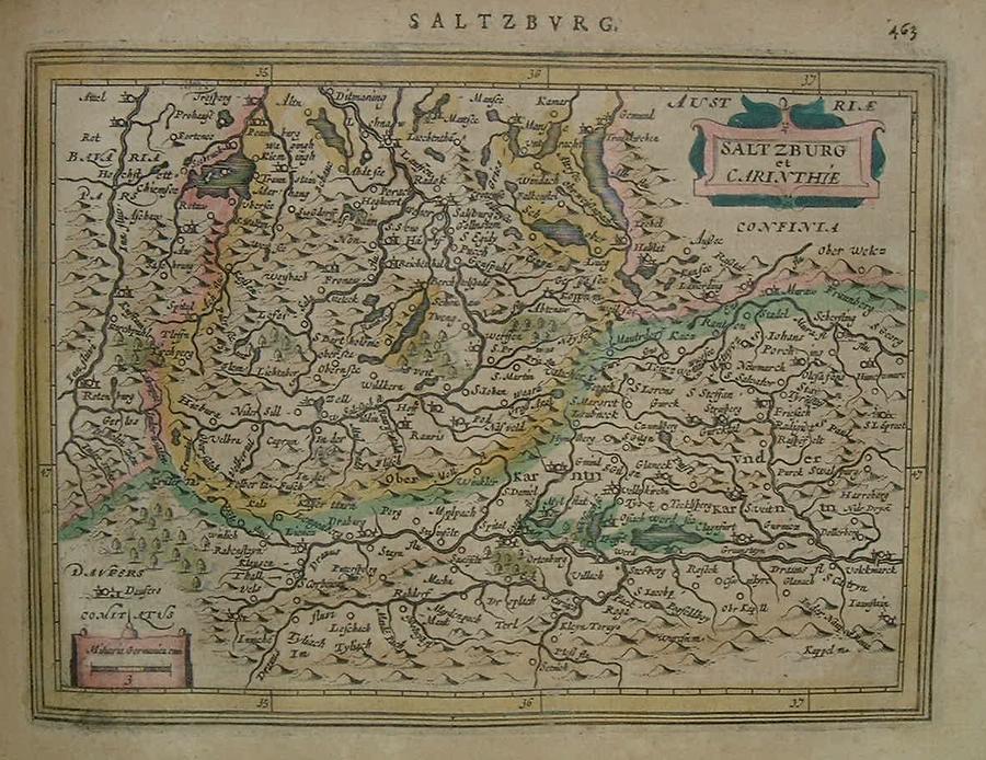
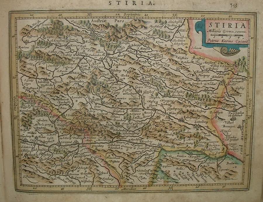
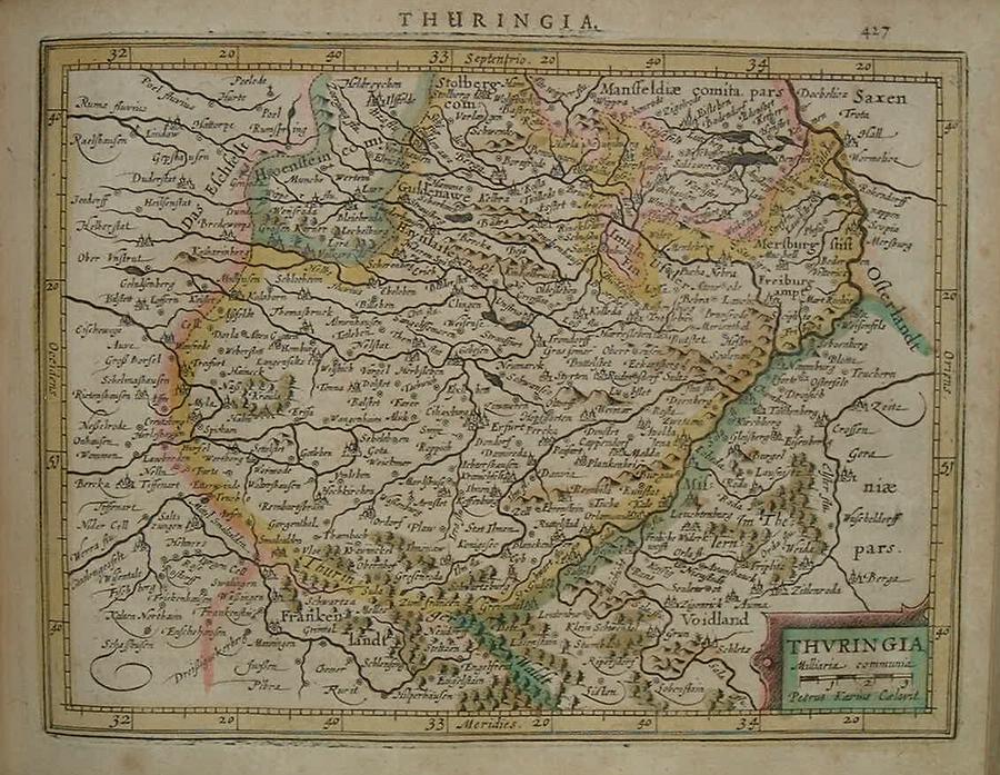
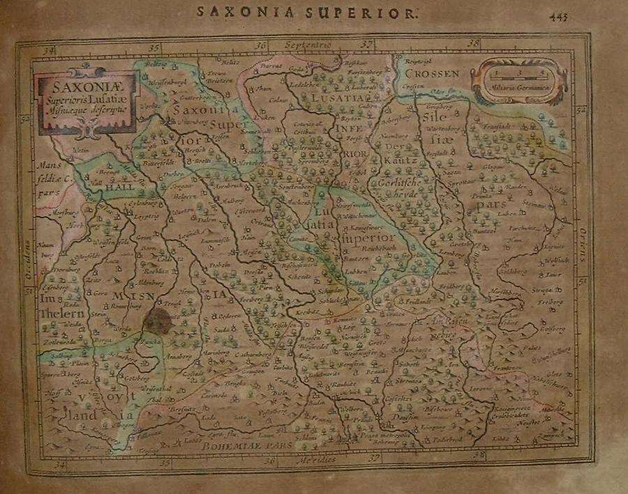
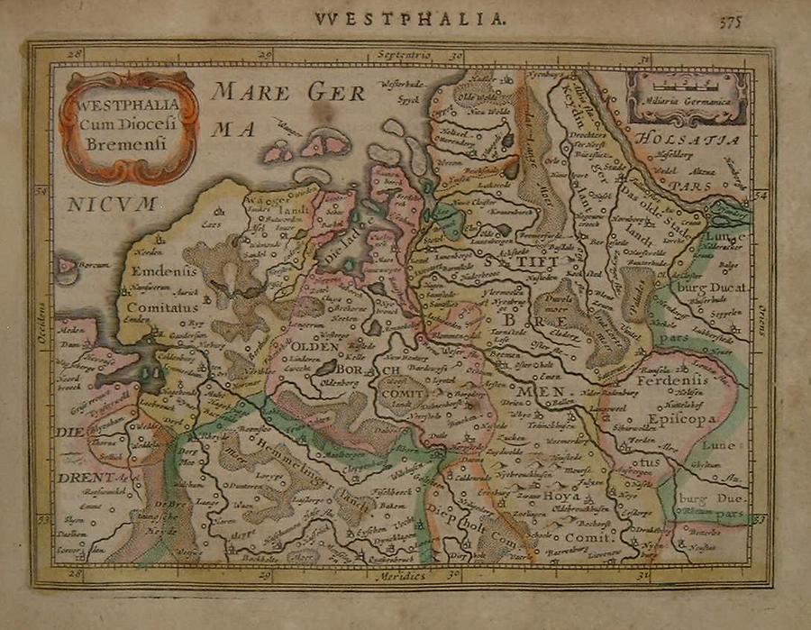
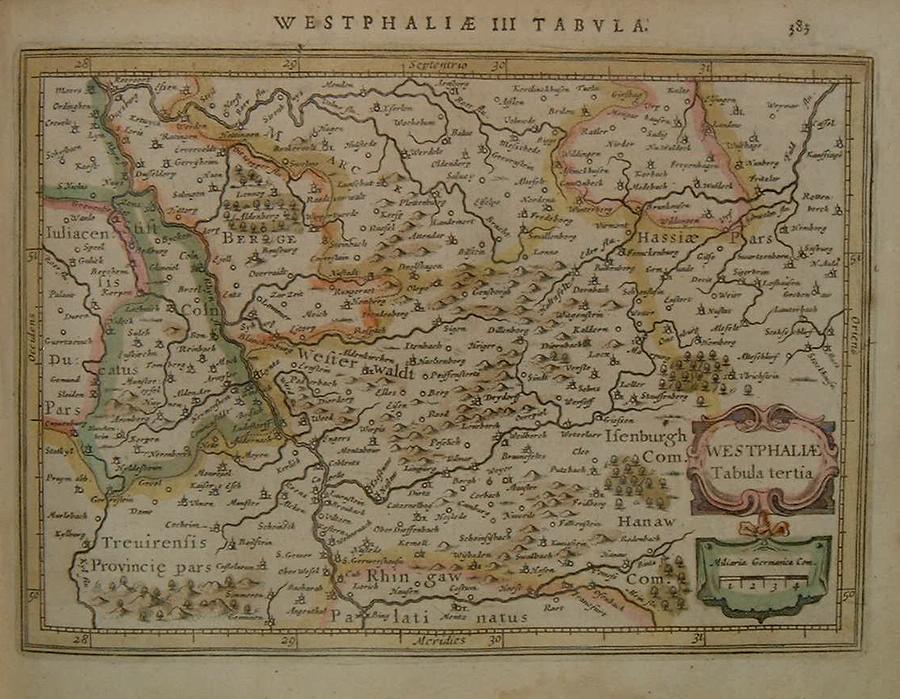
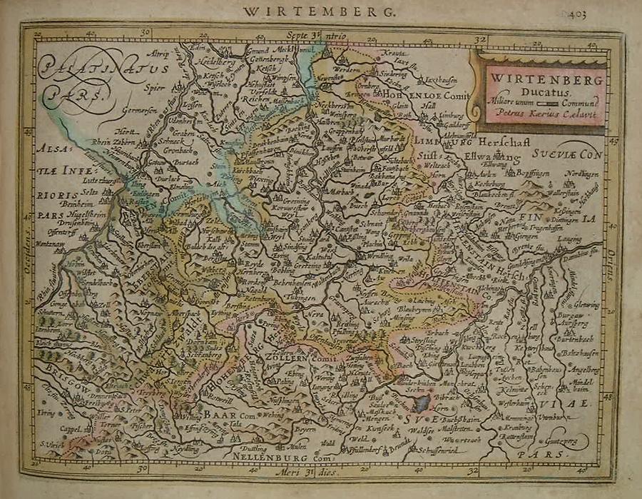
=*Poland*=*Austria*: *Vienna region* // =*Bavaria, part 1* // =*Bavaria, part 2* // =*Bohemia* // =*Braunschweig* // =*Franconia* // =*Hesse* // =*Kleve and Moers* // =*Lower Saxony* // =*Rhineland* // =*Salzburg* // =*Styria* // =*Thuringia* // =*Upper Saxony* // =*Waldeck* // =*Westphalia part 1* // =*Westphalia part 2* // =*Westphalia part 3* // =*Wurtemberg*
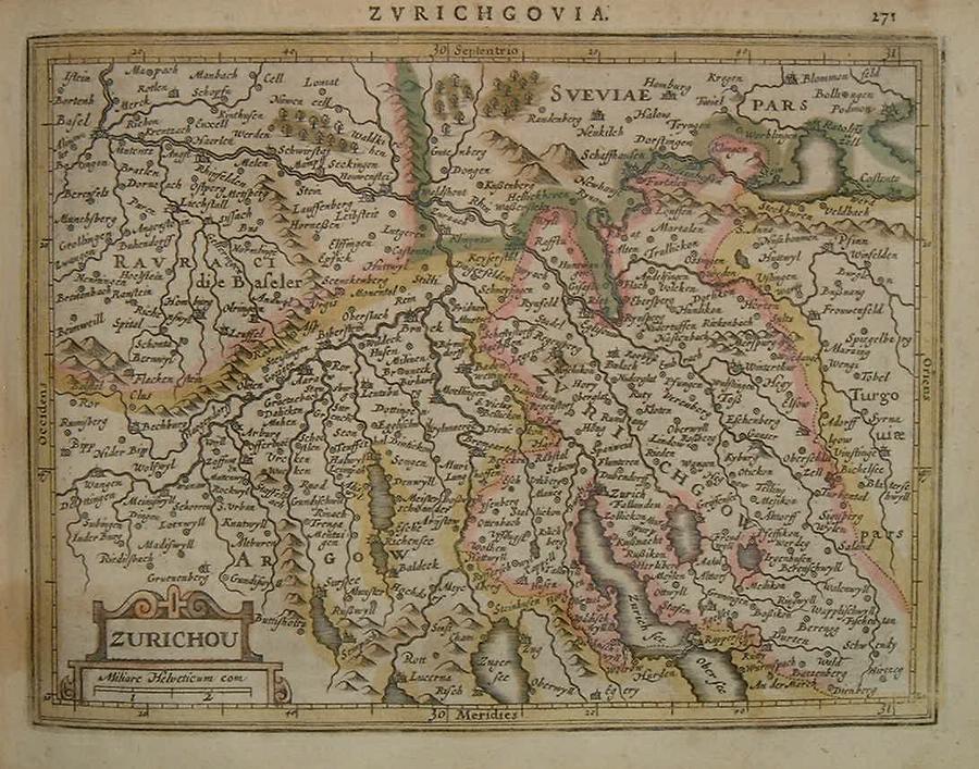
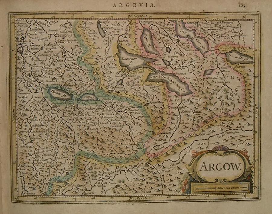
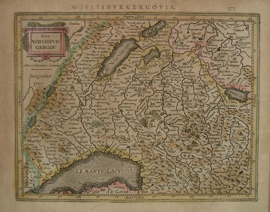
=*Zurich* // =*Argau, Switzerland* // =*southwest Switzerland*
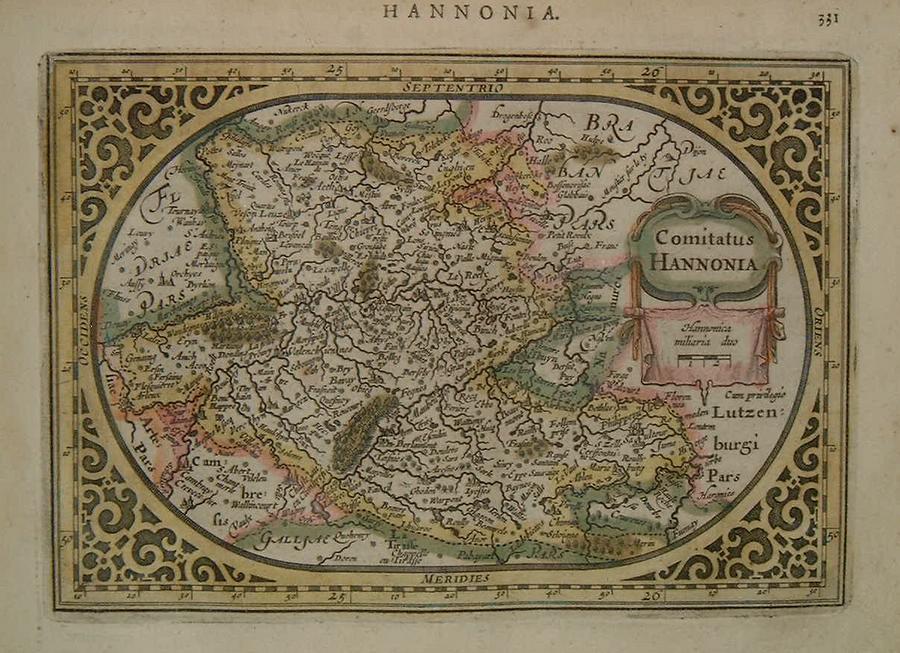
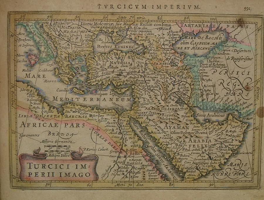
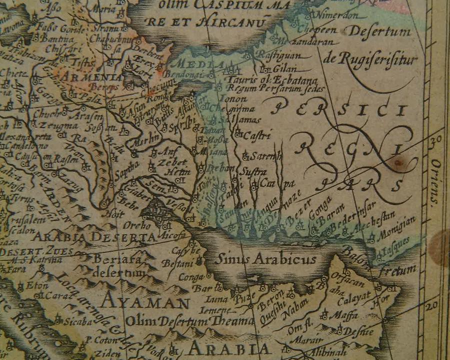
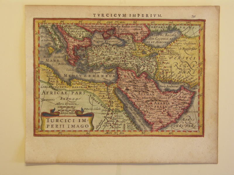
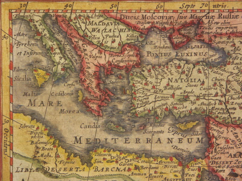
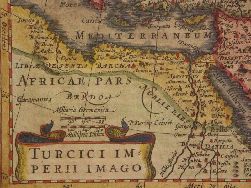
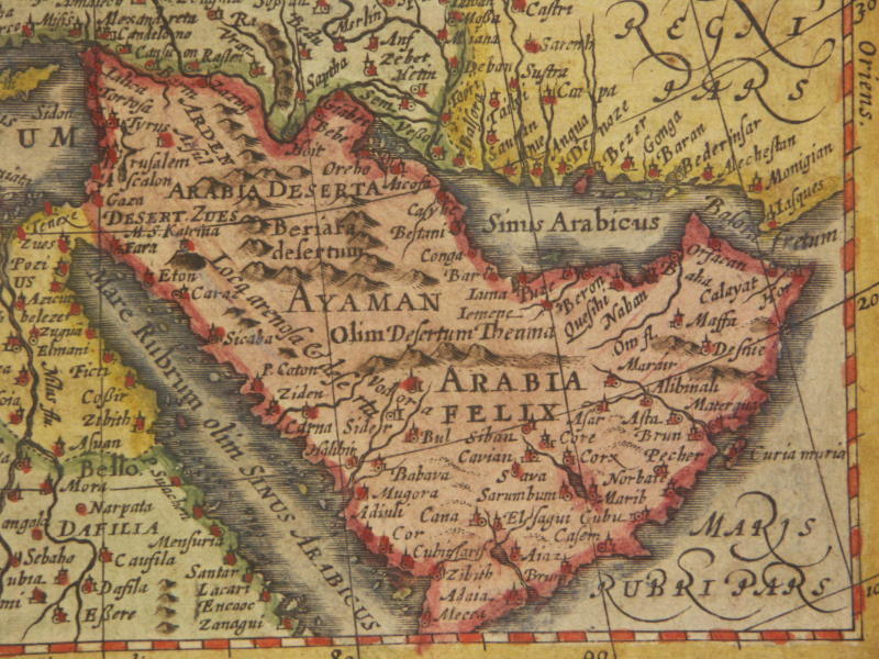
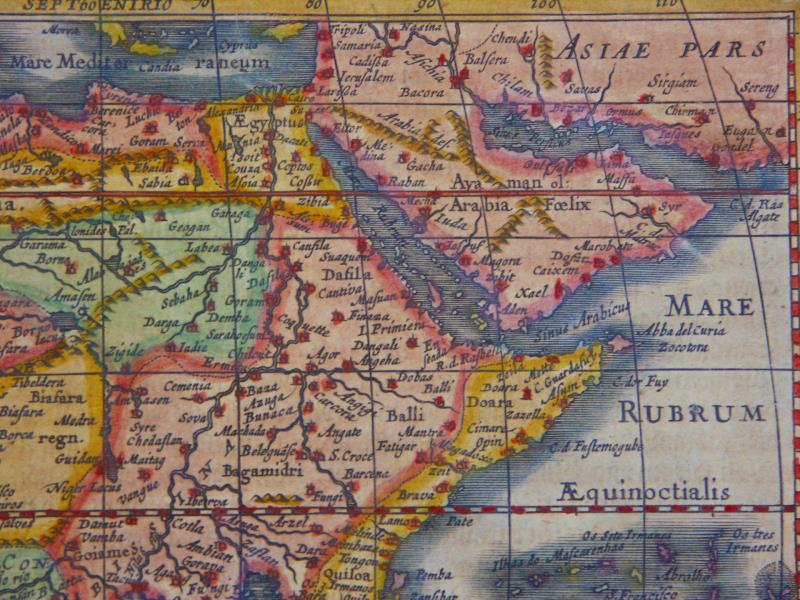
=*Belgium*=*the Ottoman Empire*: *the eastern Mediterranean*; *the Persian Gulf*
=*the Ottoman Empire* (different modern hand coloring): *northwest*; *northeast*; *southwest*; *southeast*
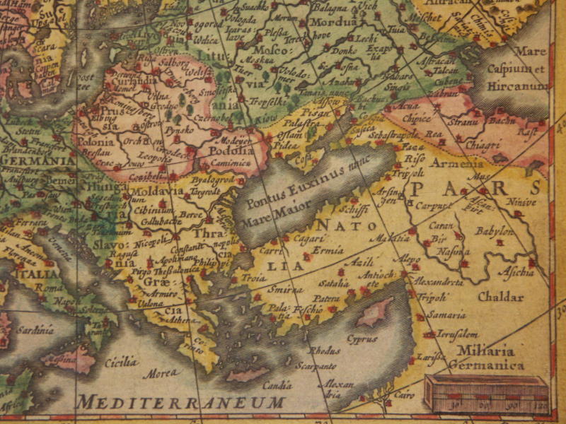
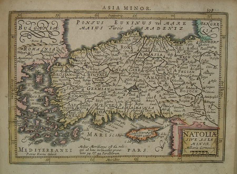
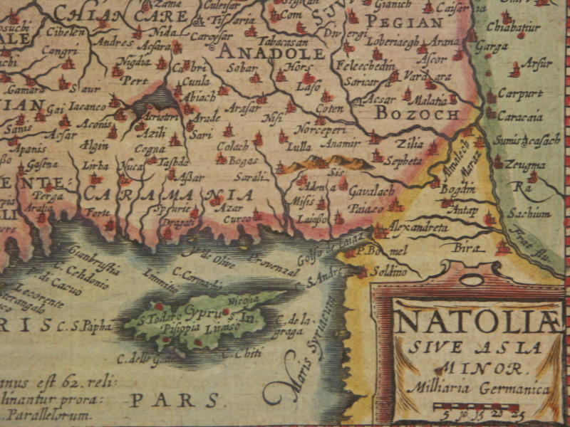
=*Asia Minor, Turkey*
[=*Anatolia, 1631 ed.*: *northwest*; *northeast*; *southwest*; *southeast*]
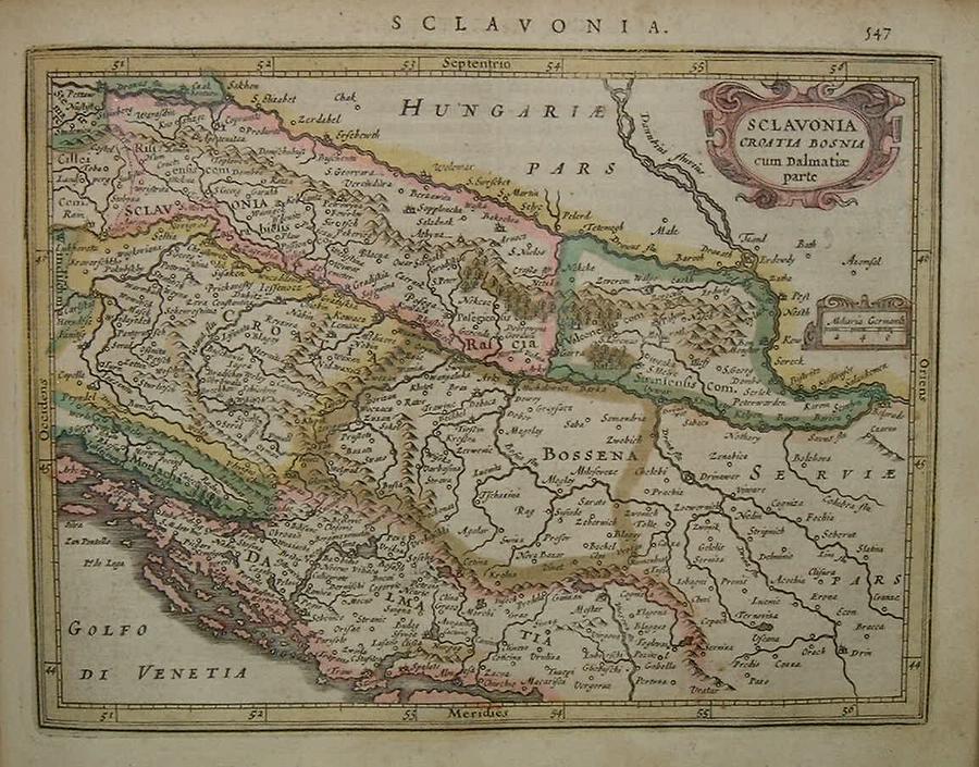
=*ex-Yugoslavia*
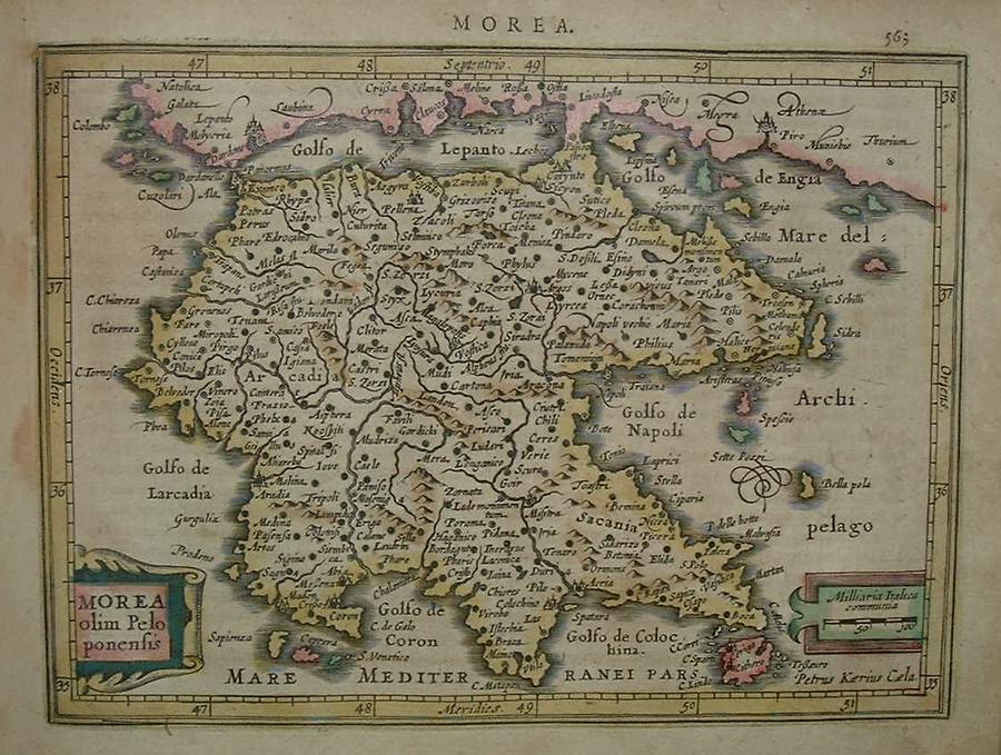
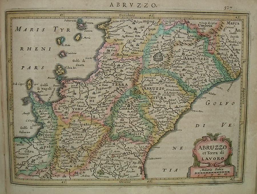
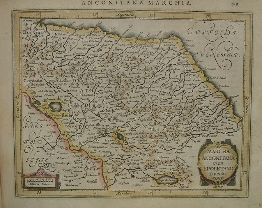
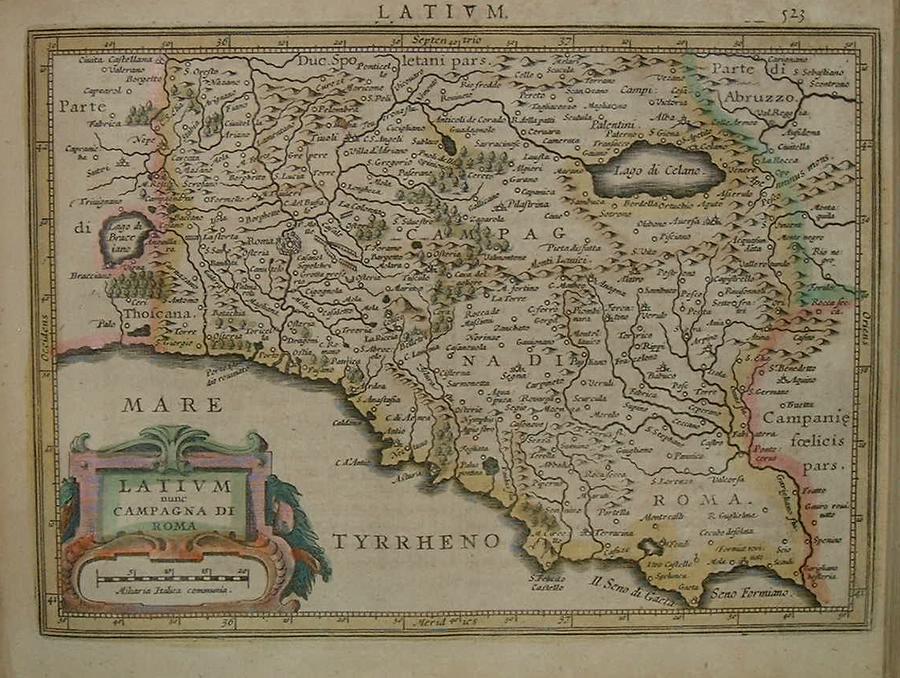
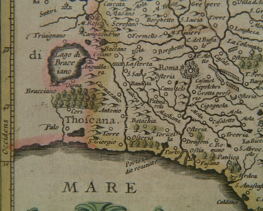
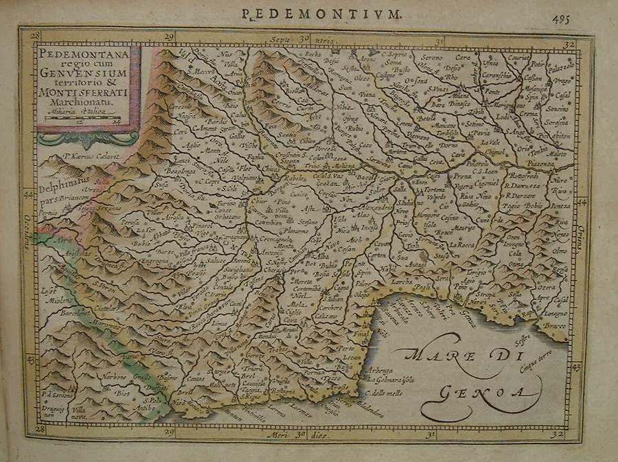
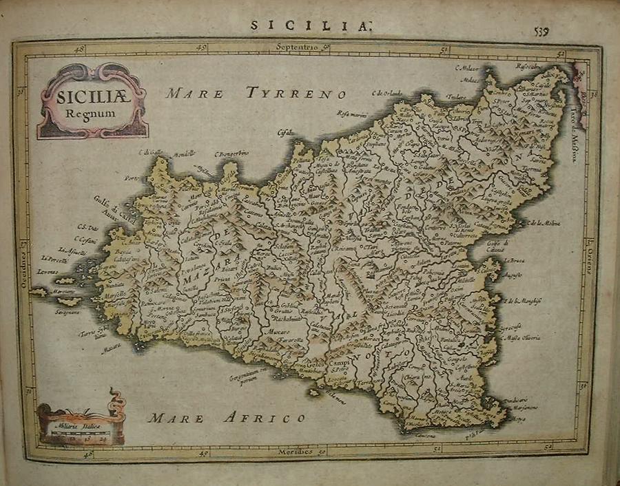
=*northern Greece*: *Dardanelles*; *Gulf of Naples*=*Abruzzo* // =*Anconia* // =*Lazio and Rome*: *Rome* // =*Lombardy* // =*Piedmont* // =*Romagna* // =*Sicily* // =*Venice*
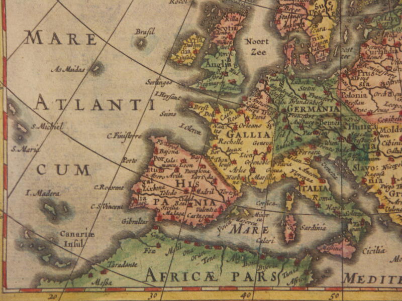
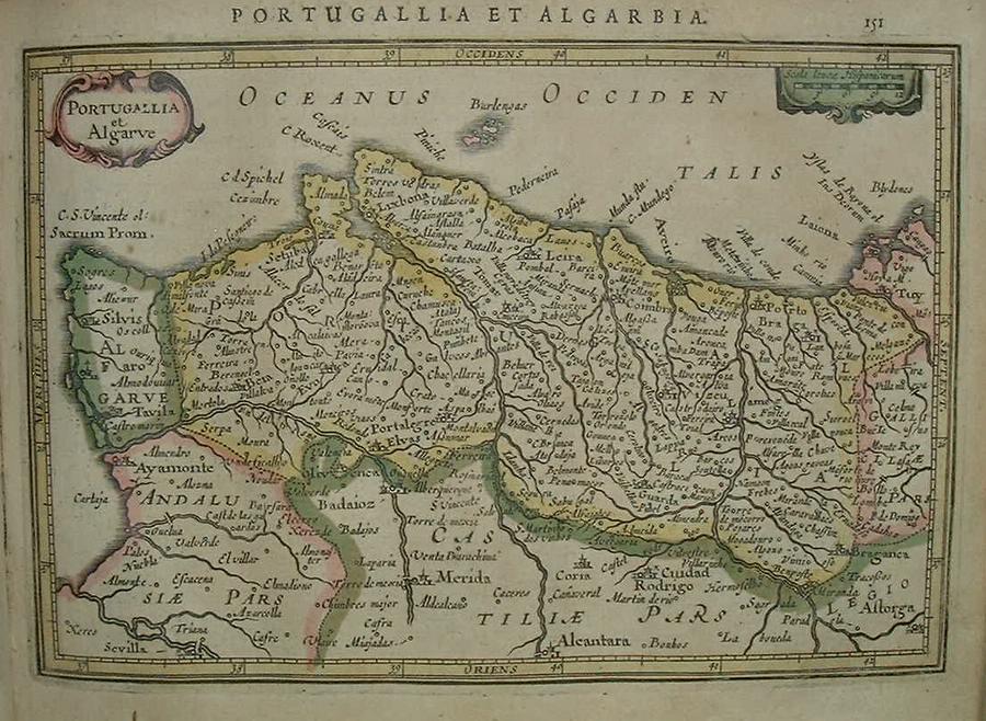
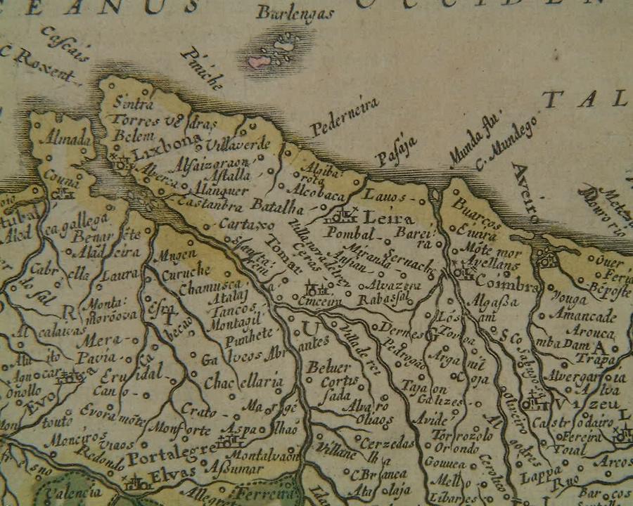
=*Portugal*: *the Lisbon region*
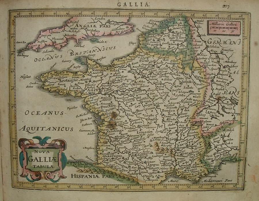
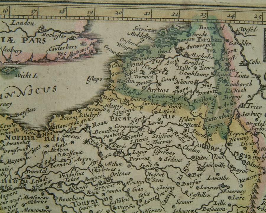
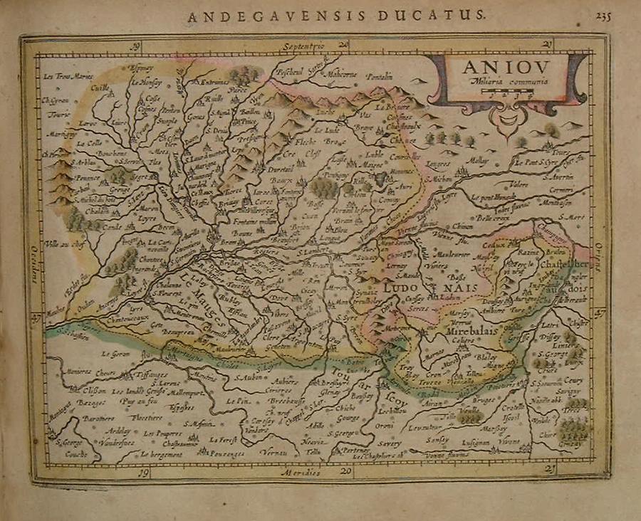
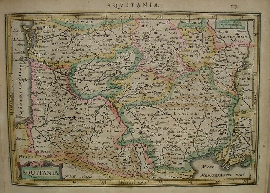
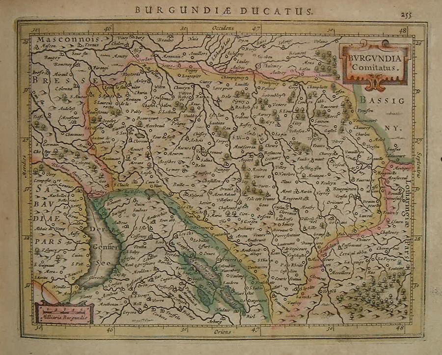
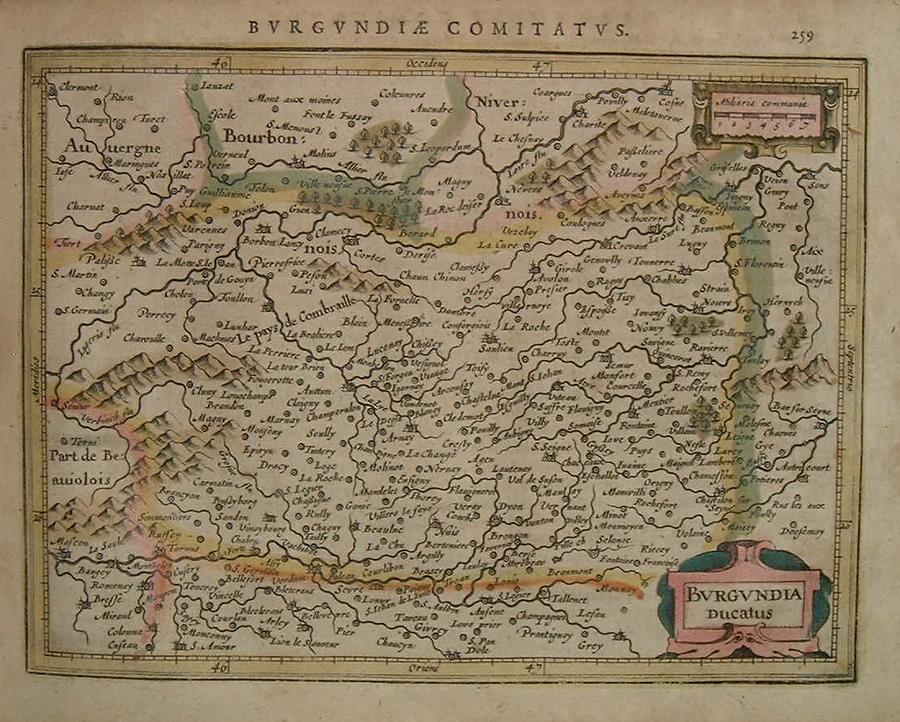
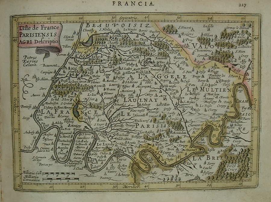
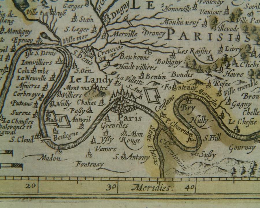
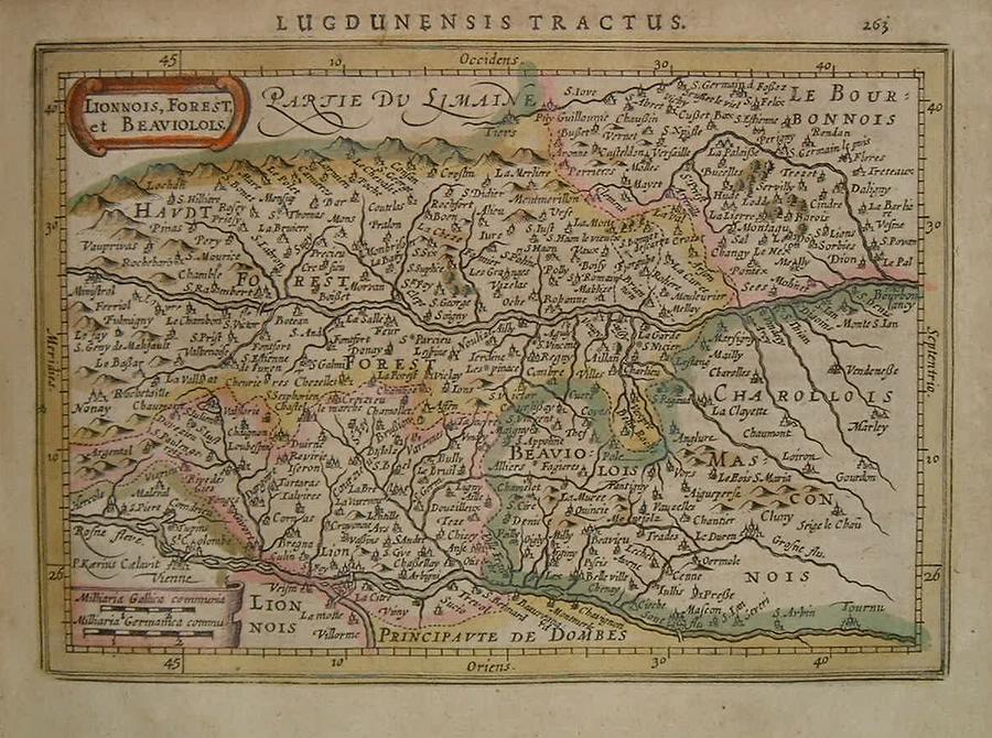
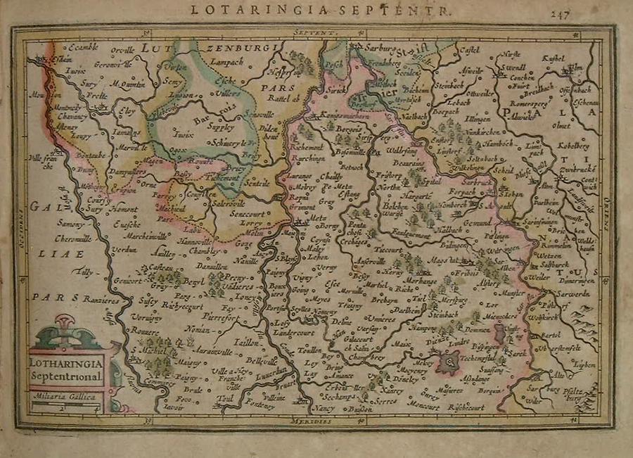
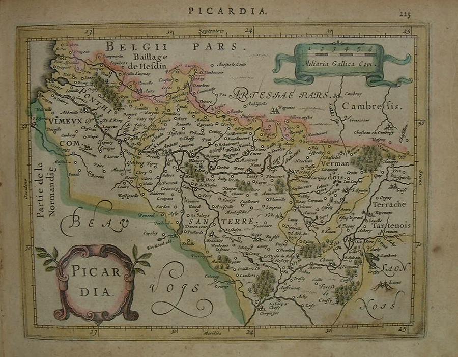
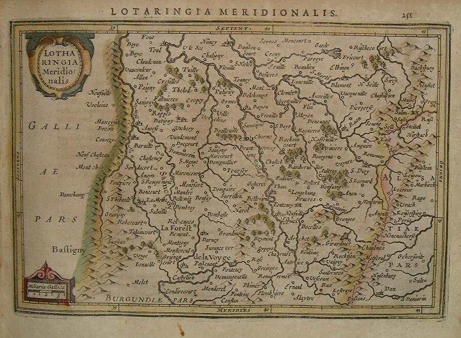
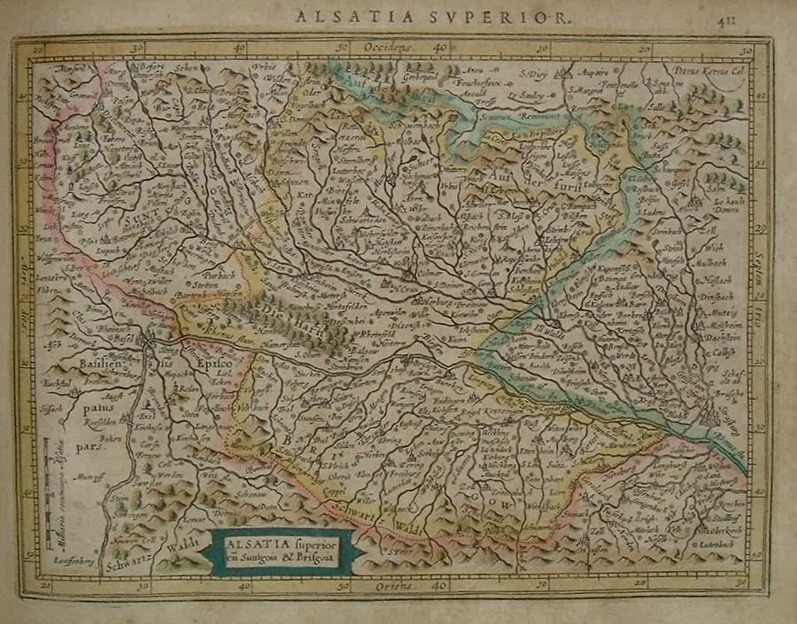
=*France*: *the Paris region* // =*Anjou* // =*Aquitaine* // =*Berry* // =*Boulogne* // =*Burgundy part 1* // =*Burgundy part 2* // =*Isle de France*: *the Paris region* // =*Lower Alsace* // =*Lyon* // =*North Lotharingia* // =*Picardy* // =*Poitou* // =*South Lotharingia* // =*Upper Alsace*
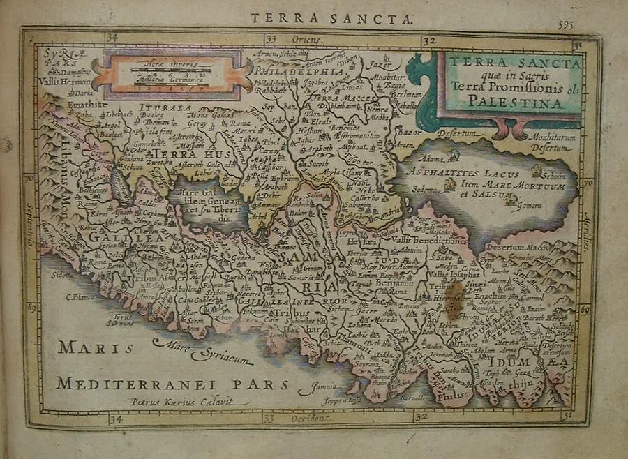
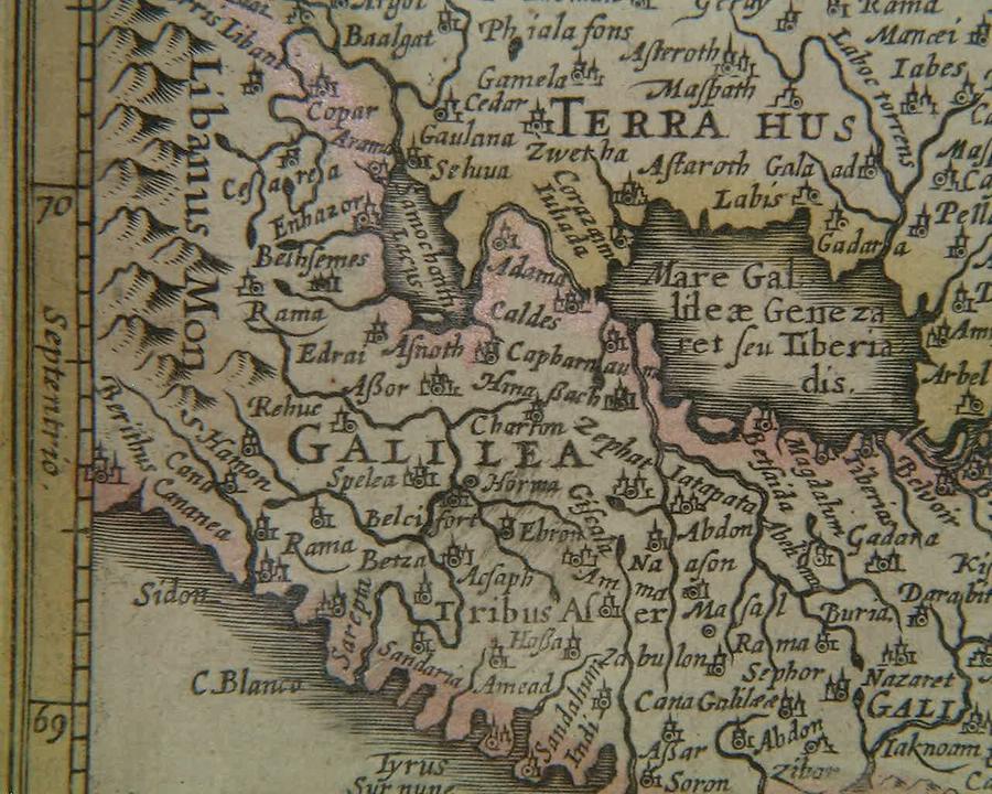
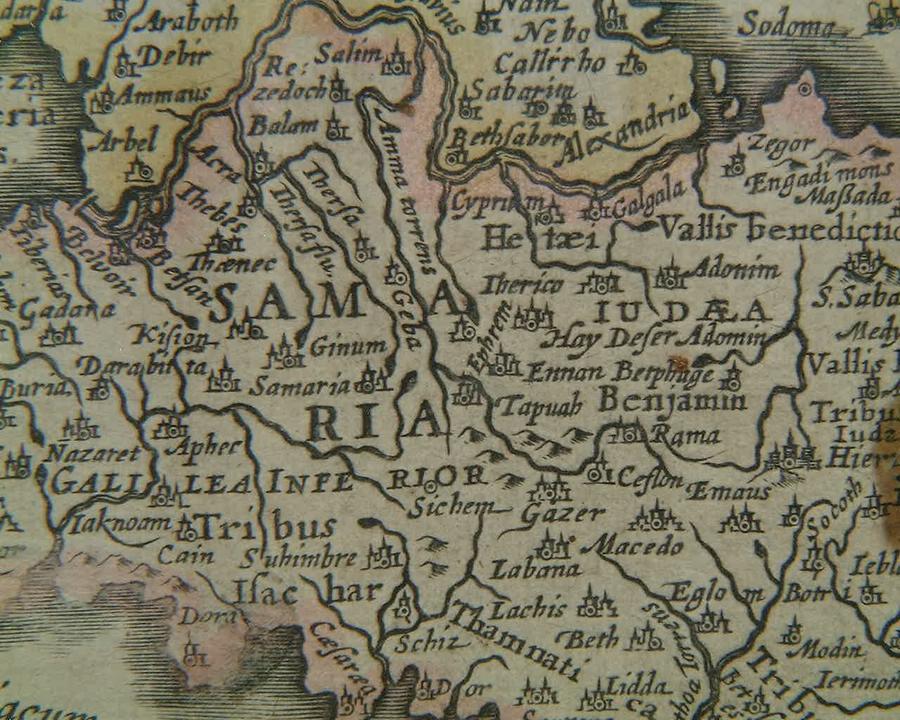
=*the Holy Land*: *Galilee*; *Samaria*
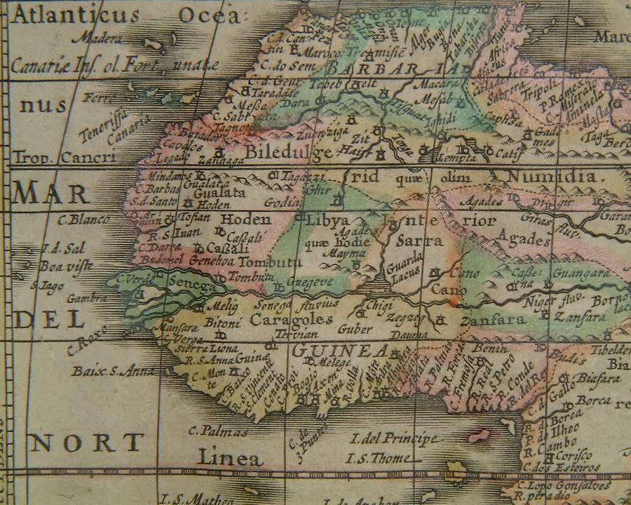
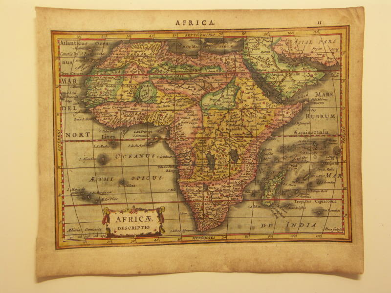
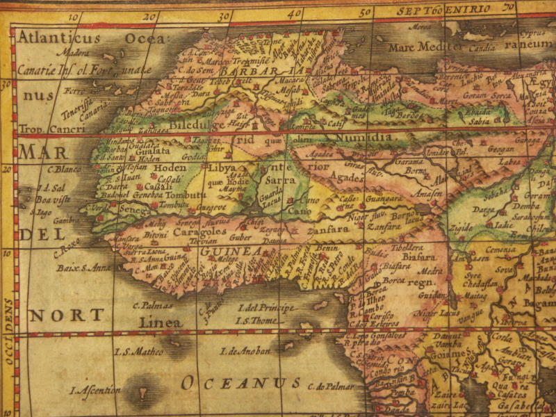
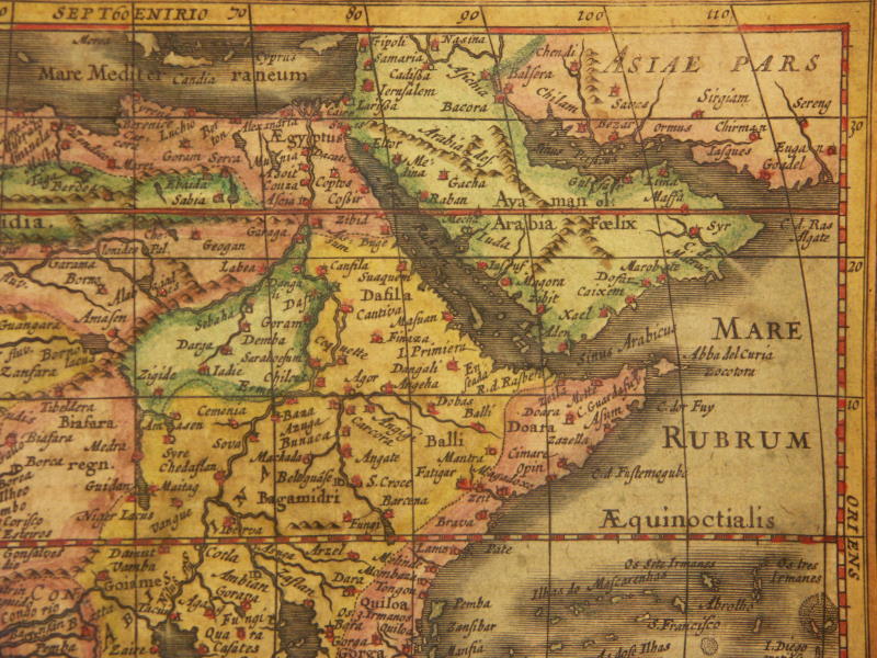
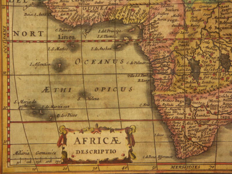
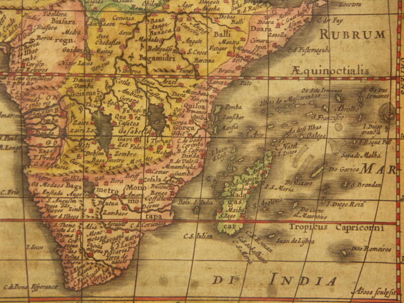
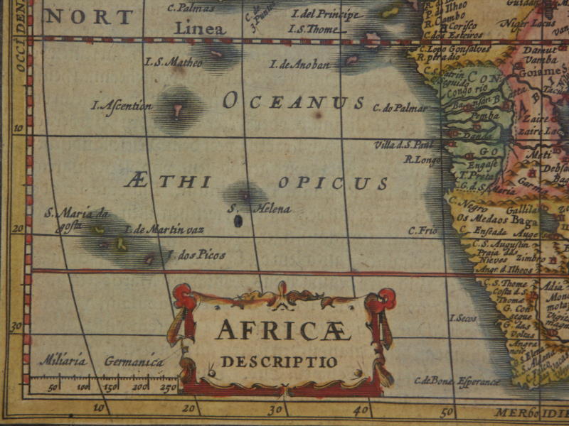
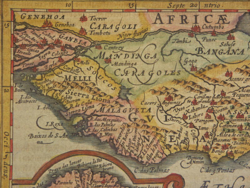
=*Africa*: *west Africa*; *south Africa*
=*Africa* (different modern hand coloring): *northwest*; *northeast*; *southwest*; *southeast*
[=*Africa, 1631 ed.*: *northwest*; *northeast*; *southwest*; *southeast*]
[=*North Africa, 1628 ed.*: *northwest*; *northeast*; *southwest*; *southeast*]
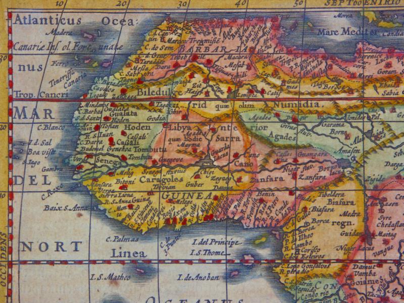
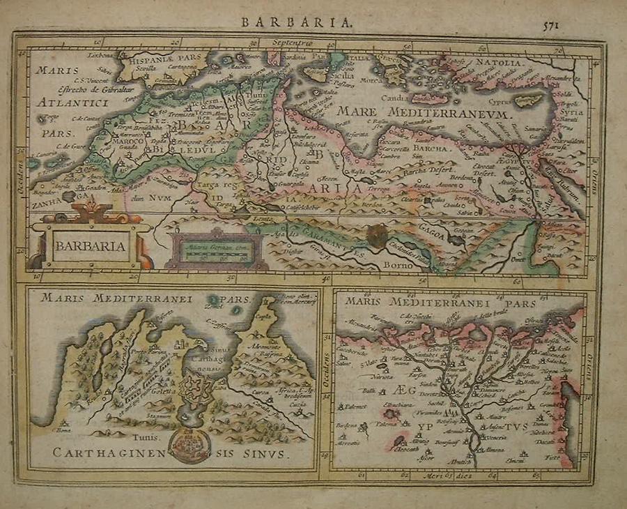
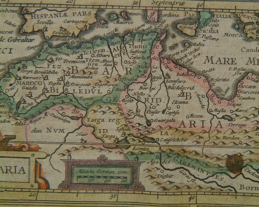
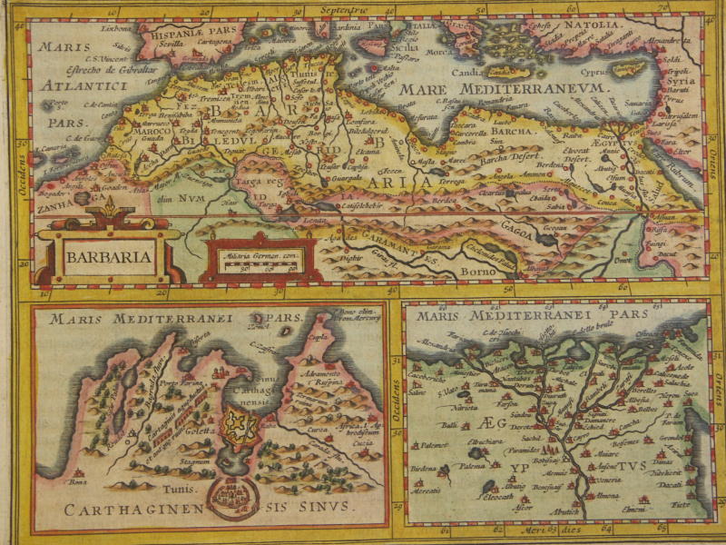
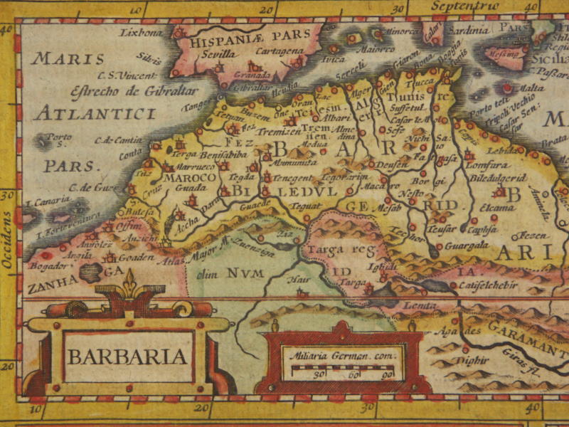
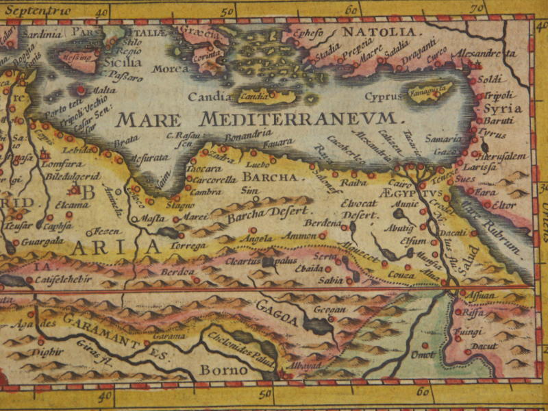
=*Barbaria (northwest Africa*: *detail 1*; *detail 2*
[=*Barbaria (northwest Africa, 1631 ed.*: *northwest*; *northeast*; *southwest*; *southeast*]
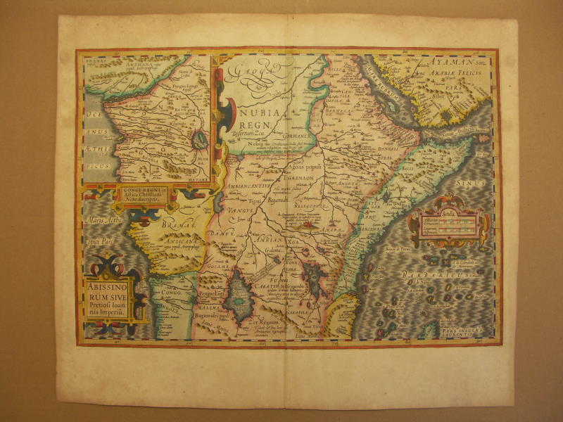
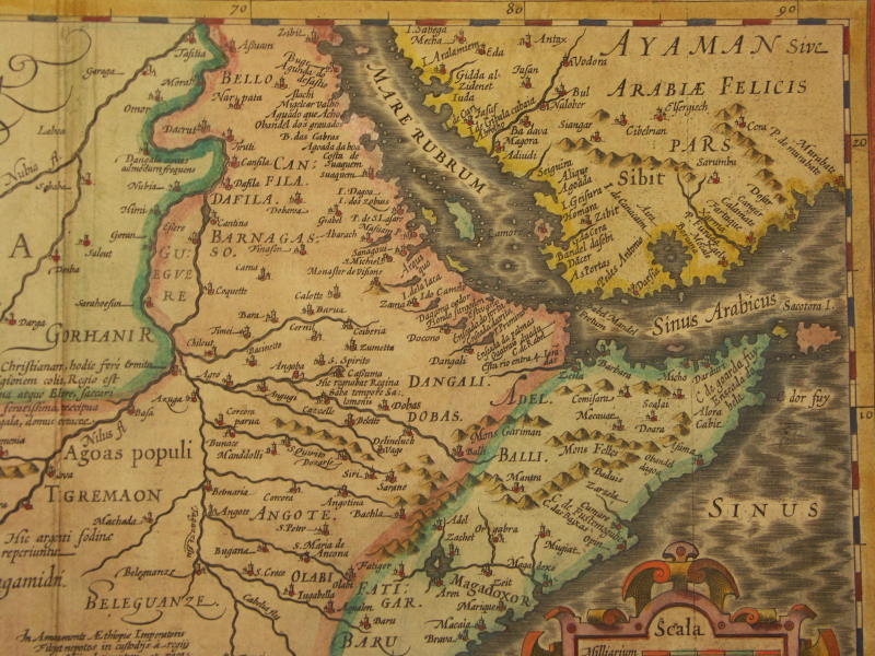
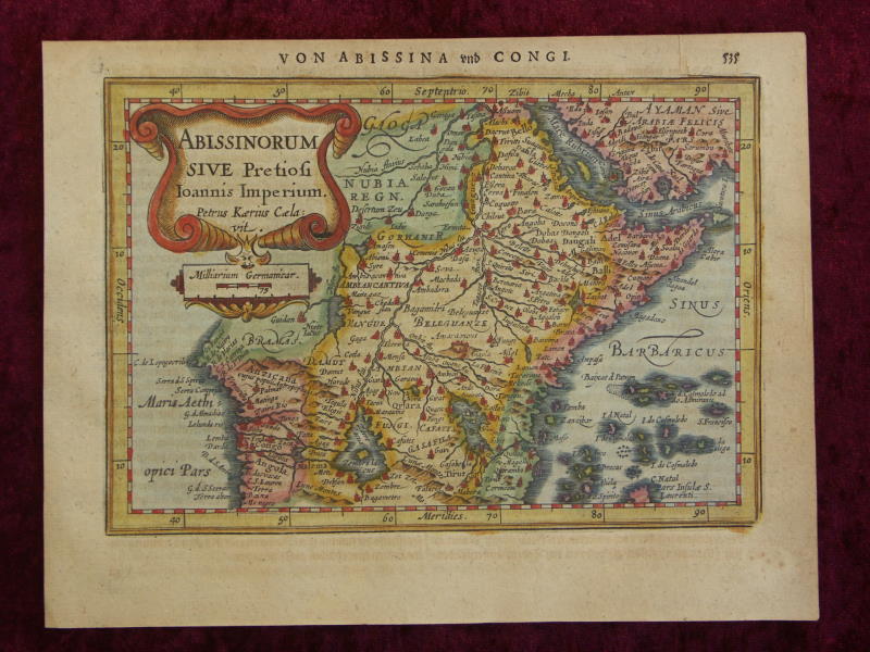
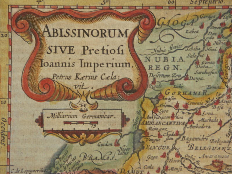
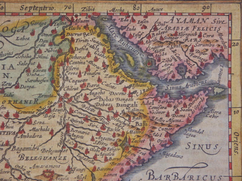
[=*Ethiopia, 1631 ed.*: *northwest*; *northeast*; *southwest*; *southeast*]
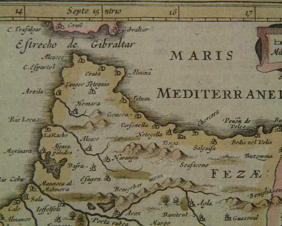
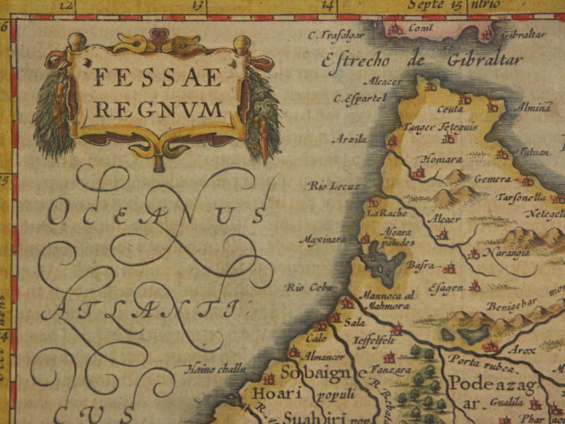
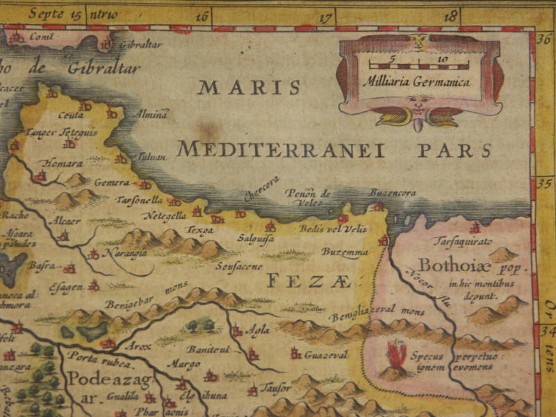
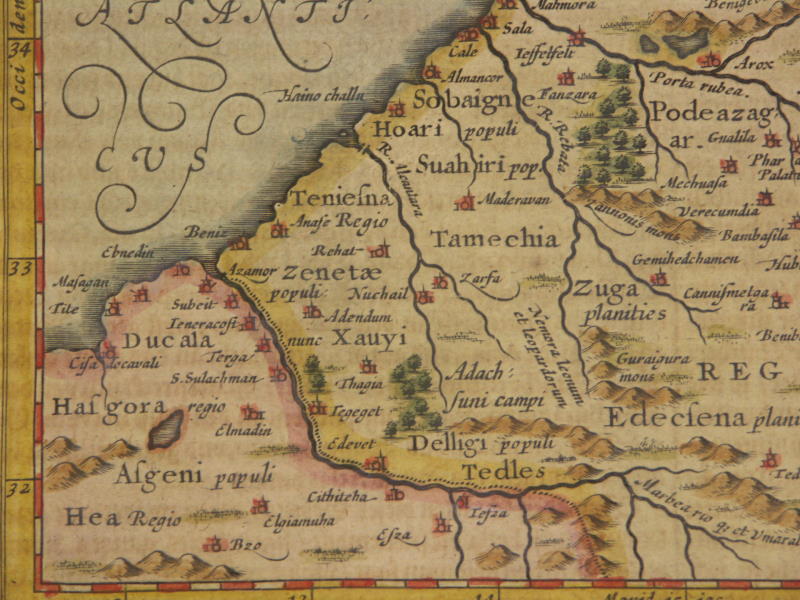
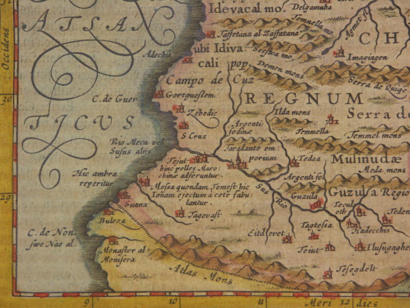
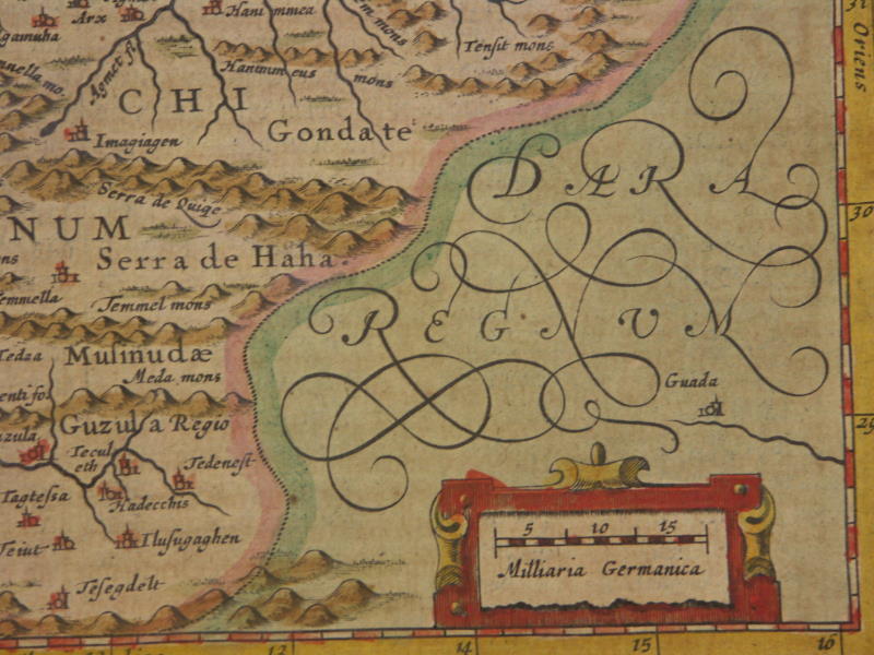
=*Fez*: *a closer view*
[=*Fez, 1631 ed.*: *northwest*; *northeast*; *southwest*; *southeast*]
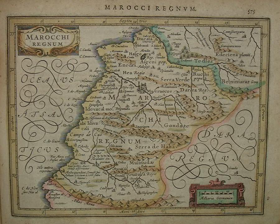
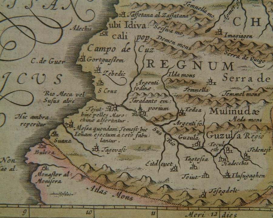
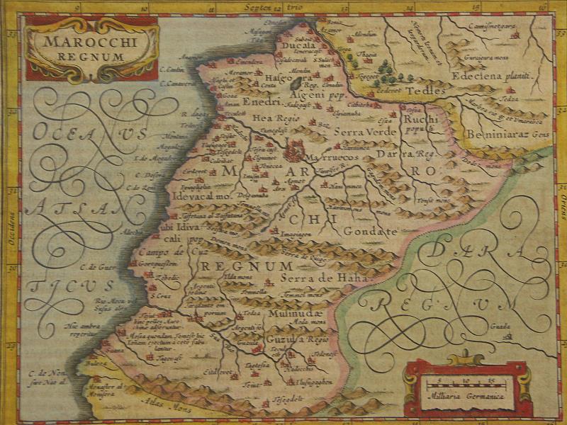
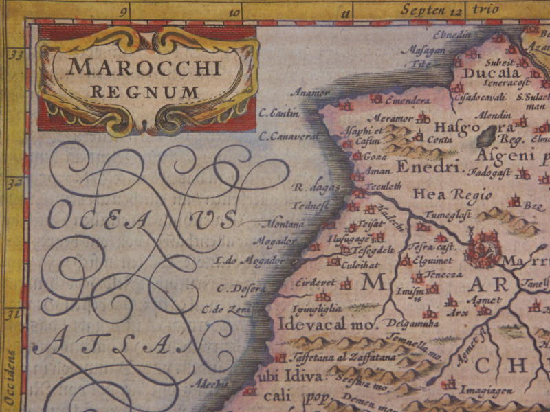
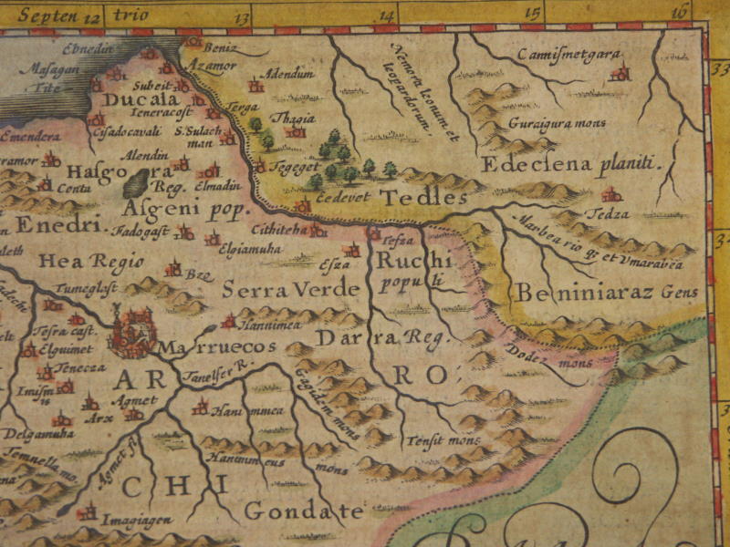
=*Morocco*: *northern*; *southern*
[=*Morocco, 1631 ed.*: *northwest*; *northeast*; *southwest*; *southeast*]
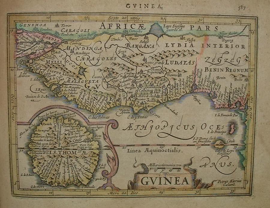
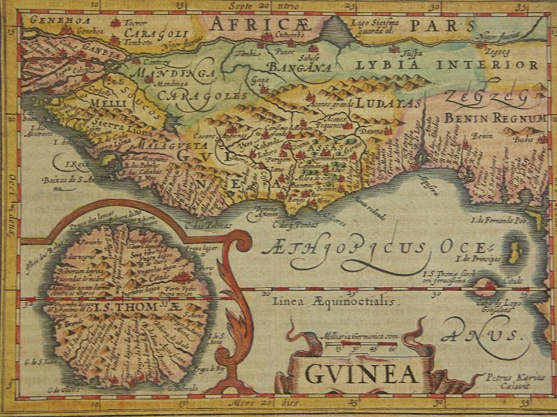
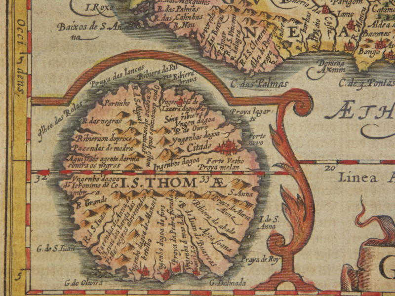
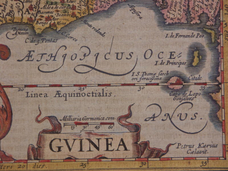
=*Guinea*: *a detail*
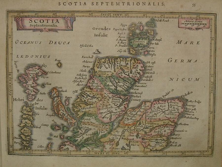
[=*Guinea, 1631 ed.*: *northwest*; *northeast*; *southwest*; *southeast*]=*northern Scotland*
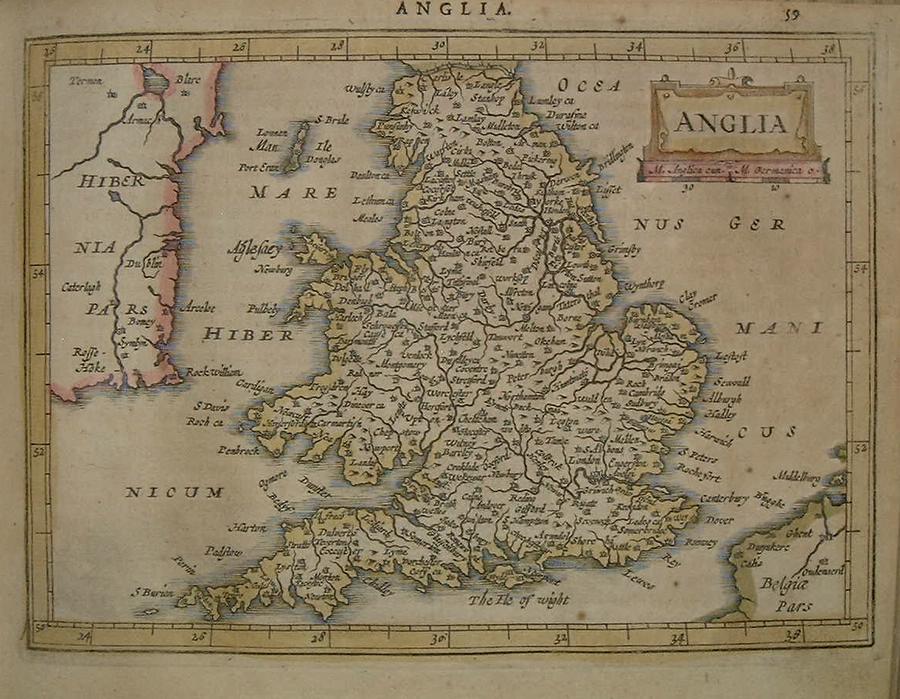
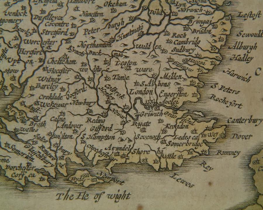
=*England*: *the London region*
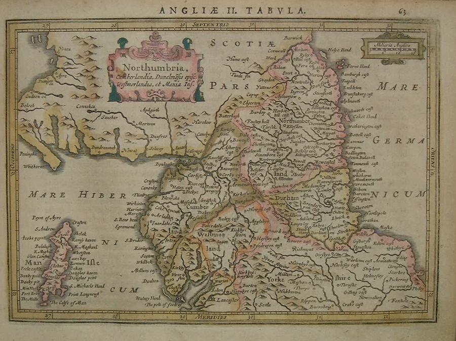
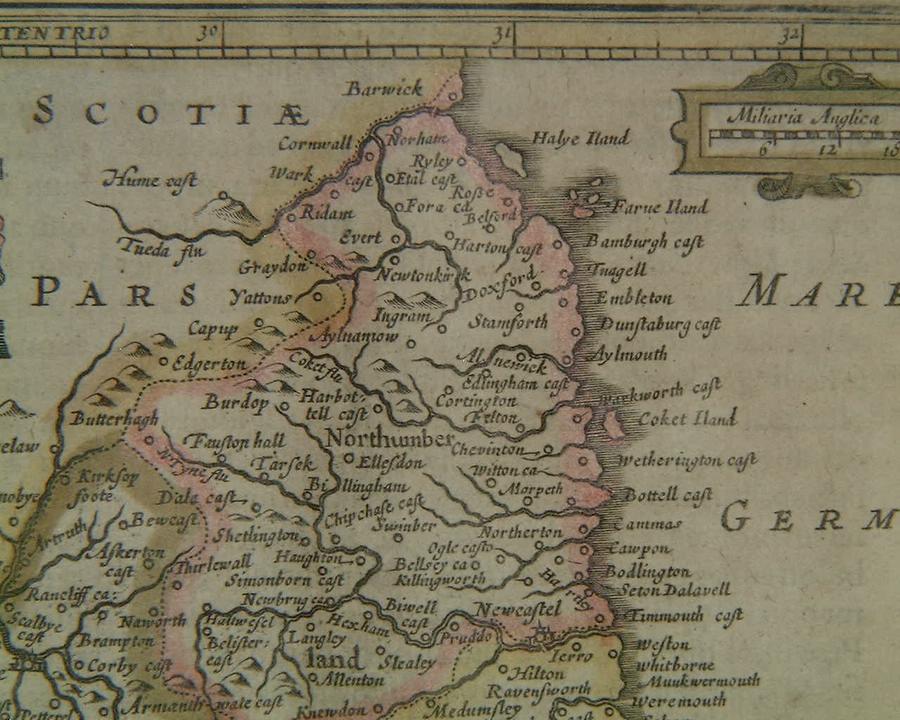
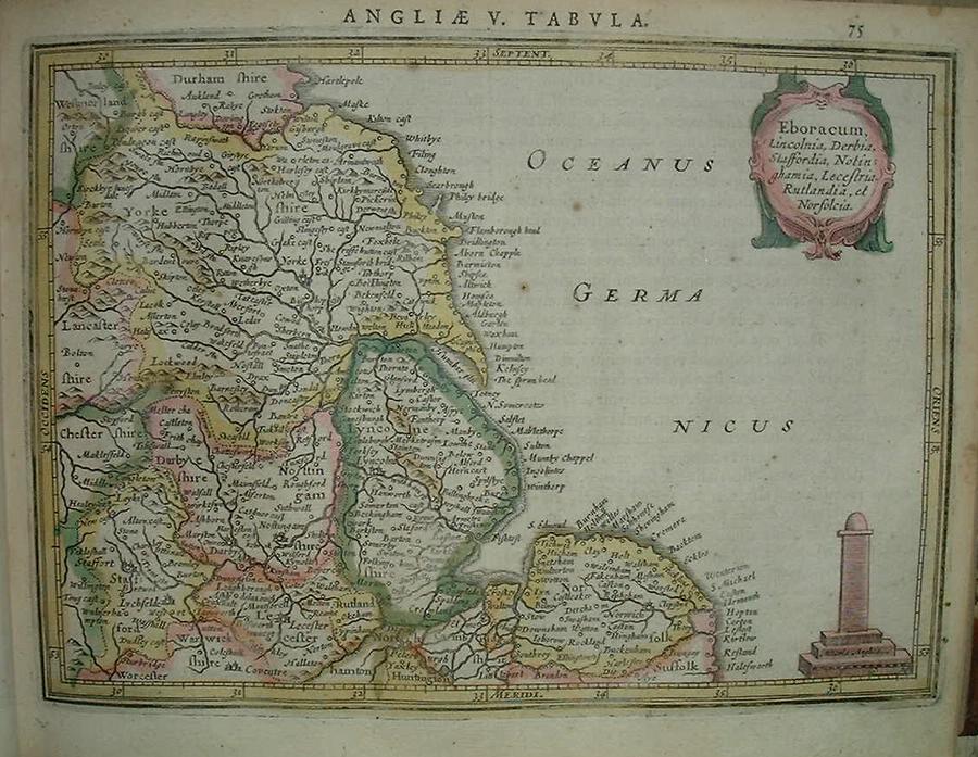
=*northern England*: *Northumbria*
=*eastern England*
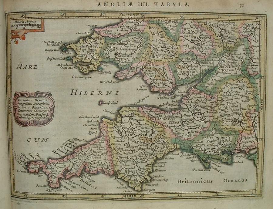
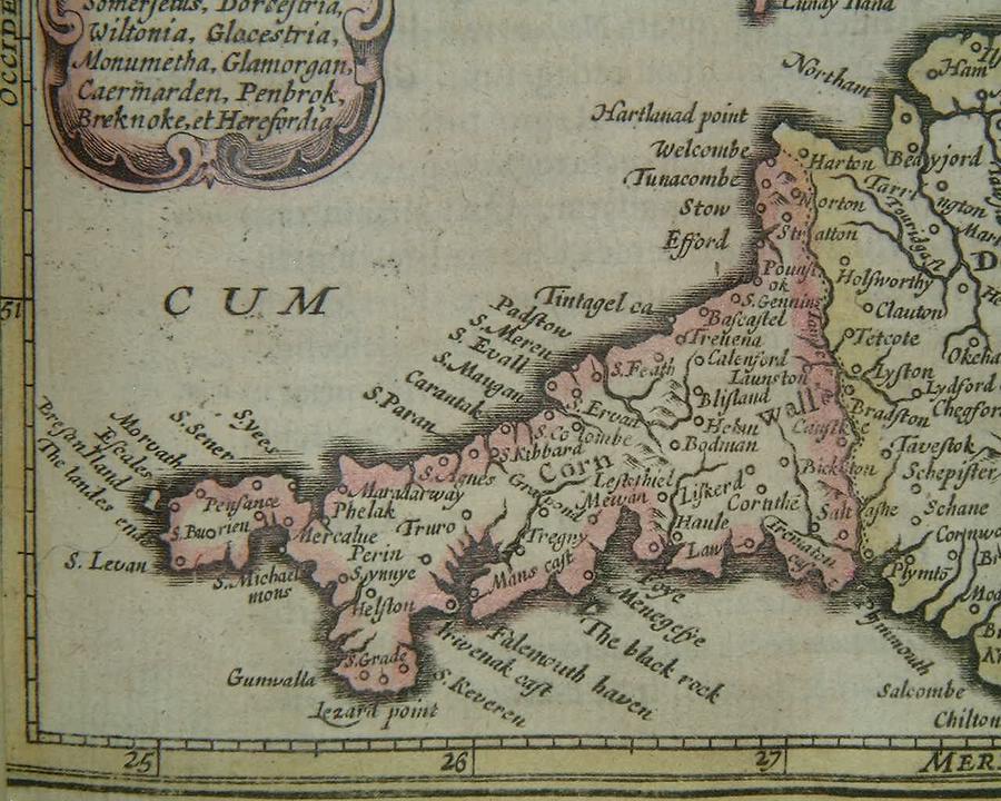
=*southwest England and Wales*: *Cornwall*
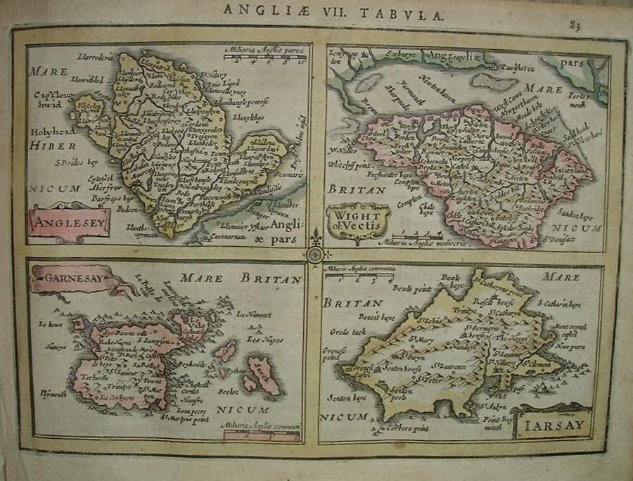
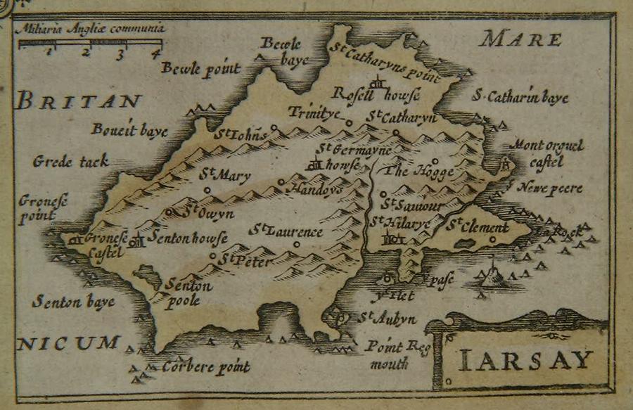
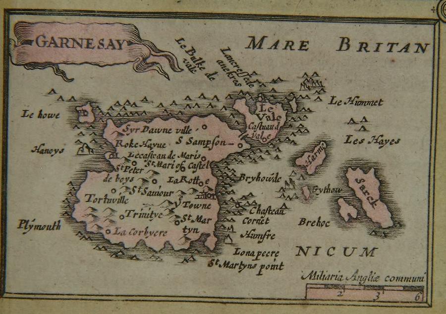
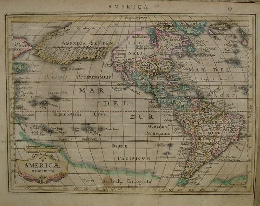
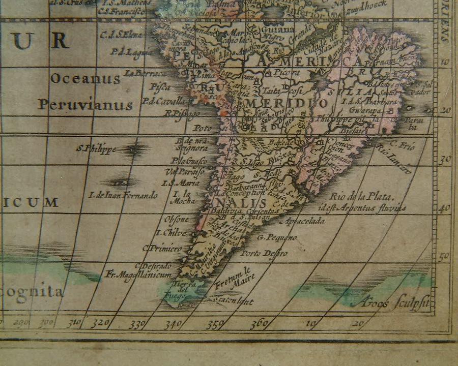
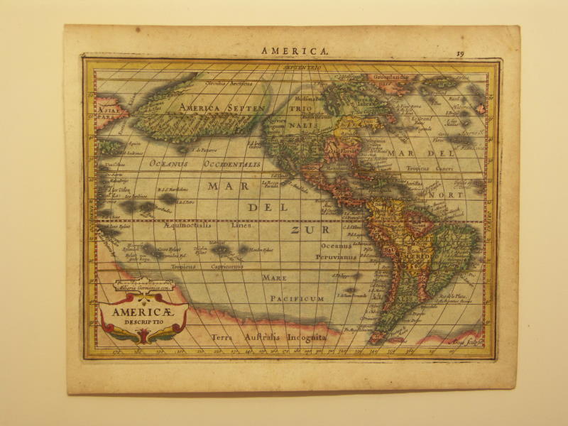
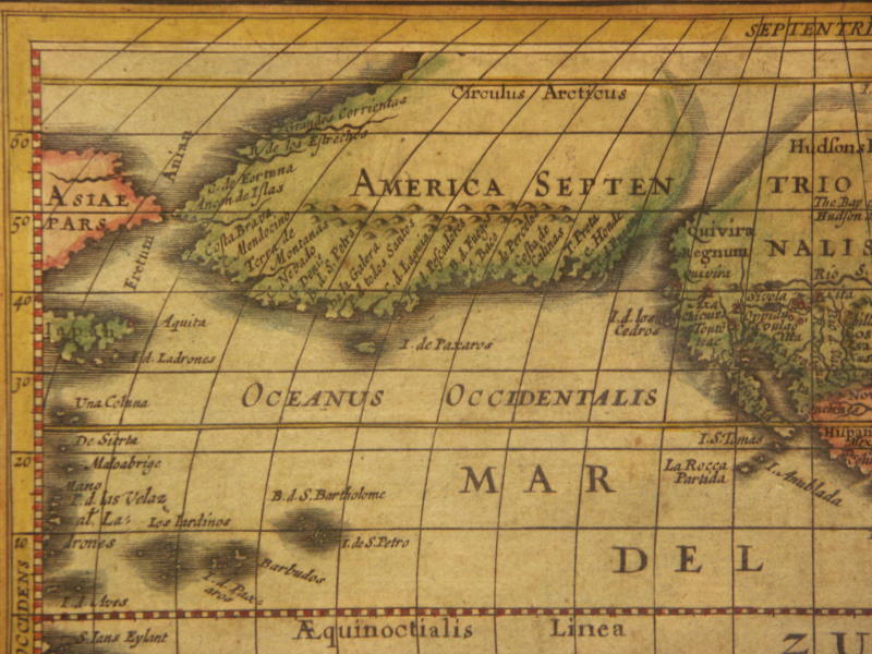
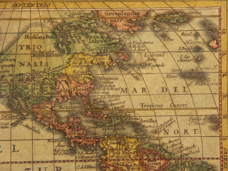
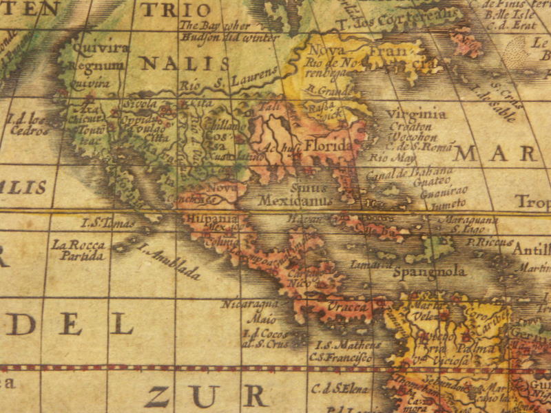
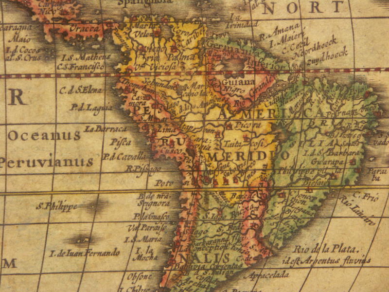
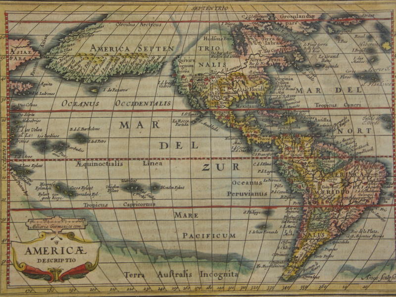
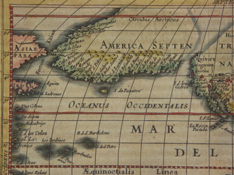
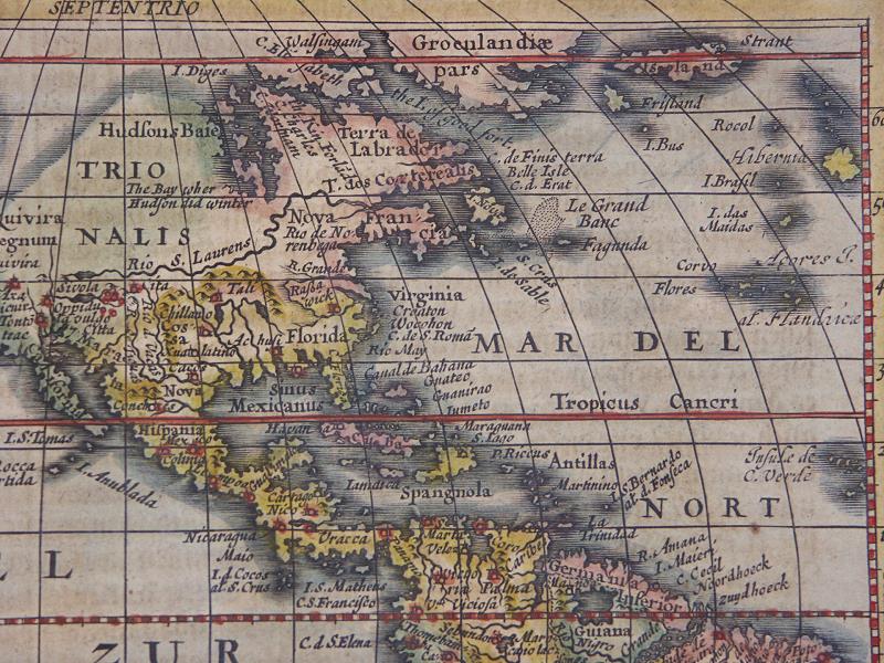
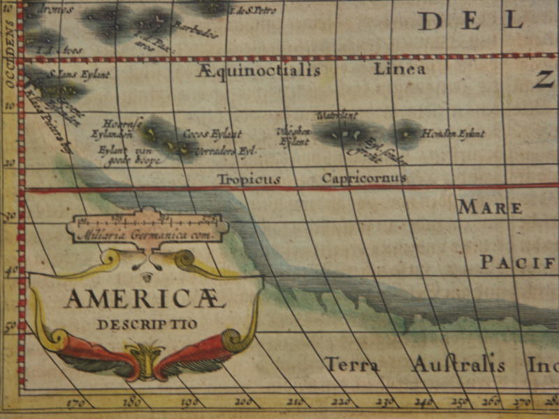
=*British Isles*: *Jersey*; *Guernsey*=*the Americas*: *North America*; *Alaska*; *South America*
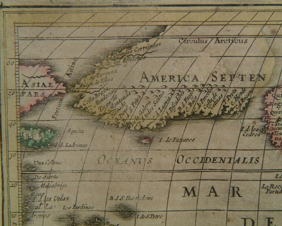
=*the Americas* (another version, differently colored): *northwest*; *northeast*; *southwest*; *southeast*; *North America*; *South America*
[=*the Americas, 1631 ed.*: *northwest*; *northeast*; *southwest*; *southeast*
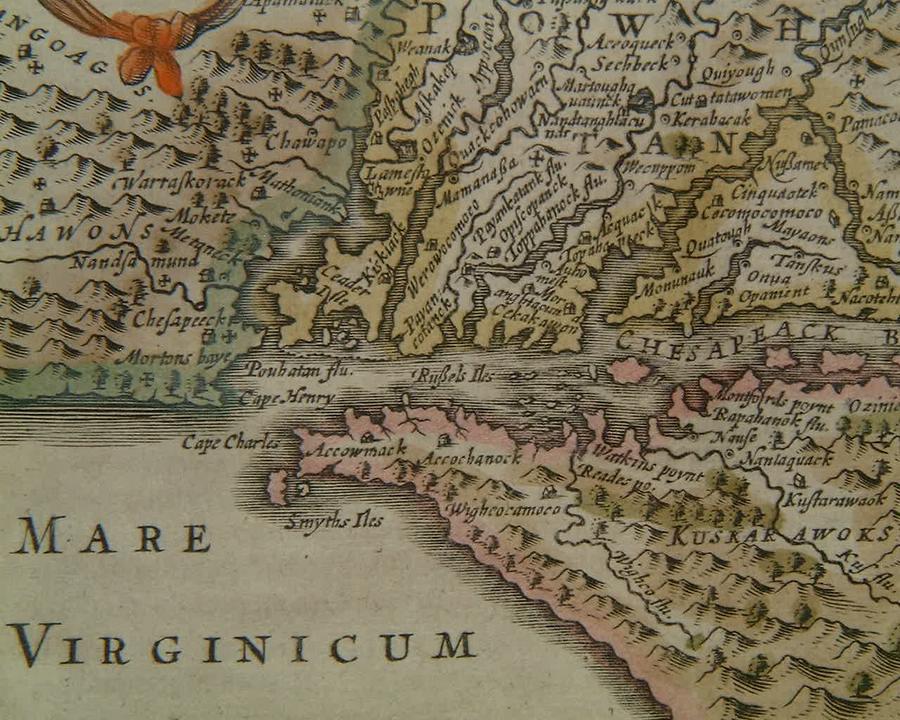
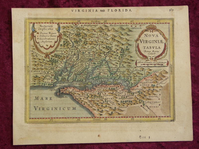
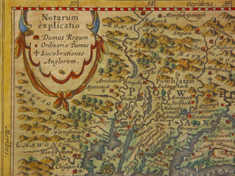
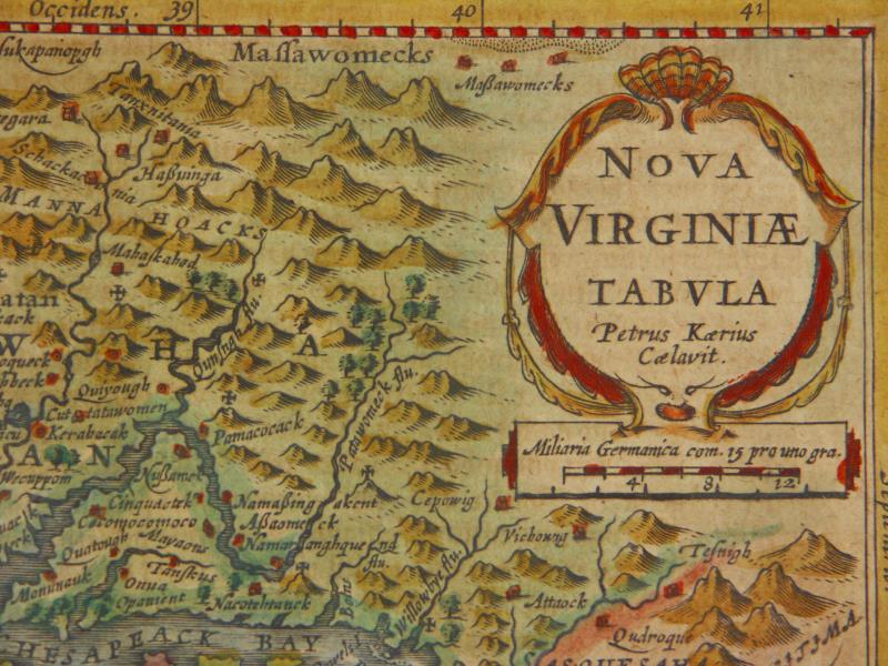
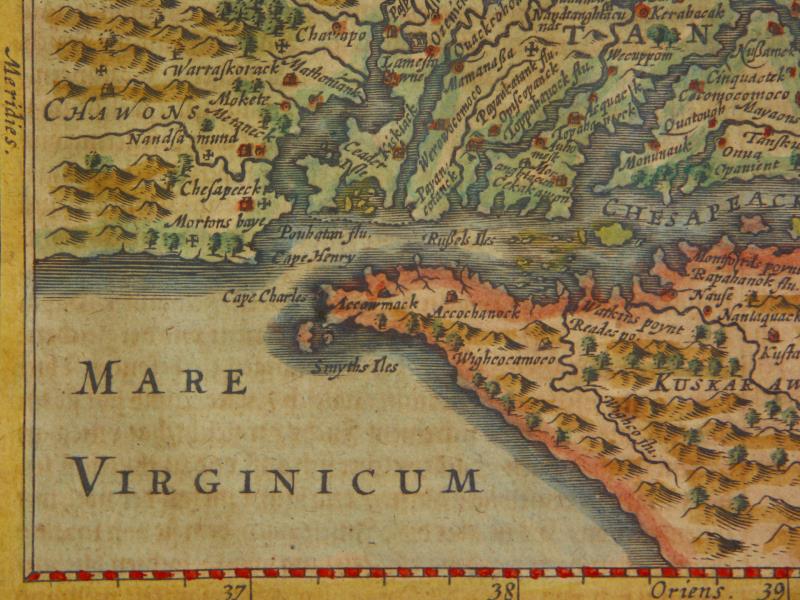
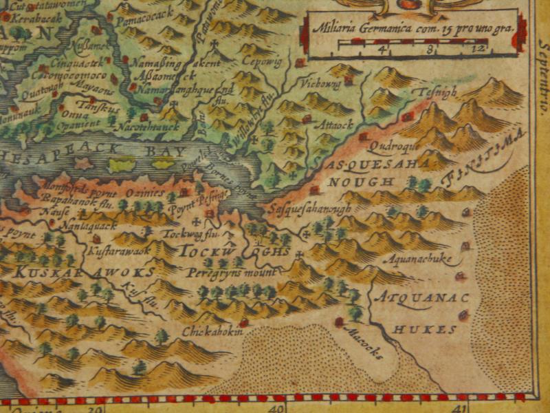
=*Virginia*: *detail*
[=*Virginia, 1631 ed.*: *northwest*; *northeast*; *southwest*; *southeast*
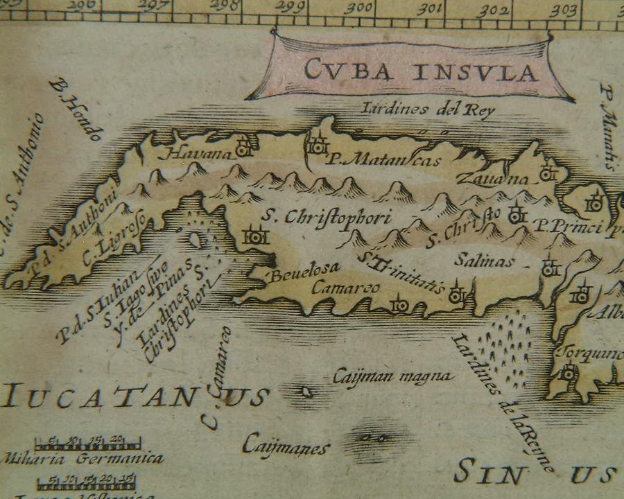
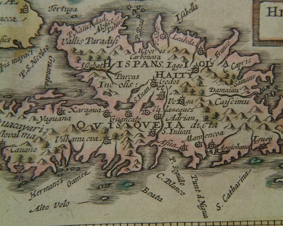
=*West Indies*: *Cuba*; *Hispaniola*
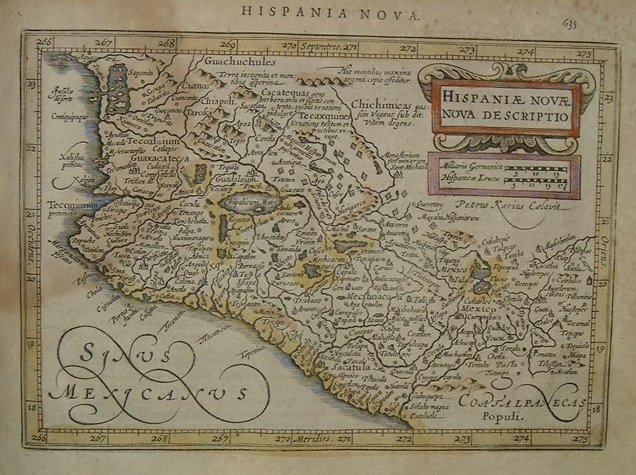
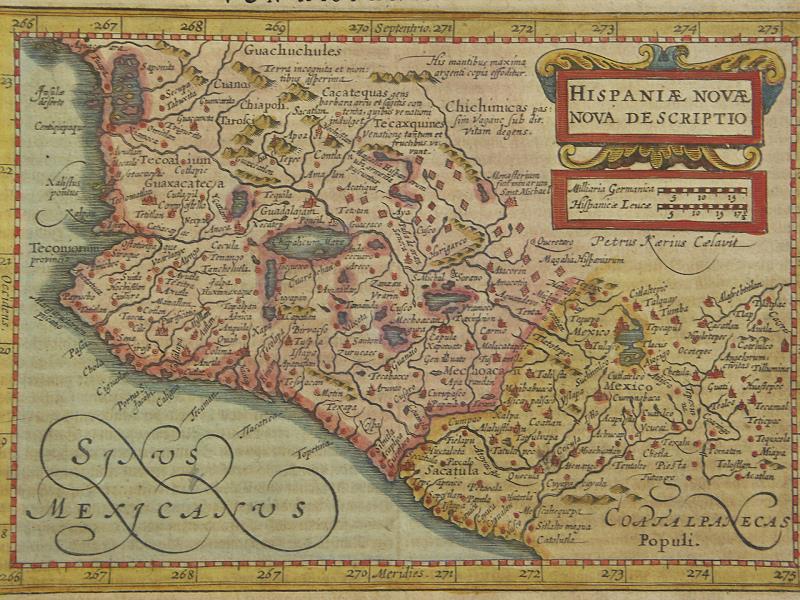
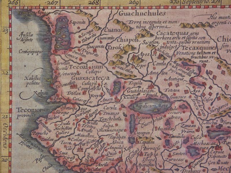
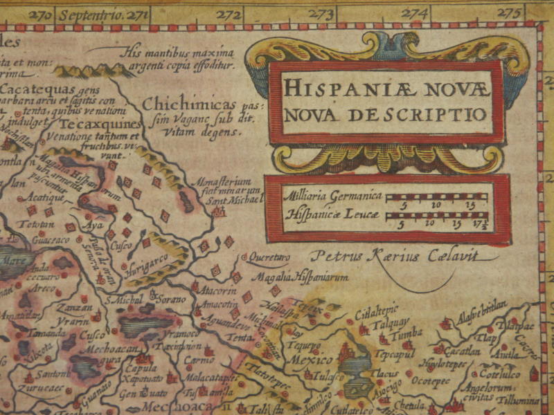
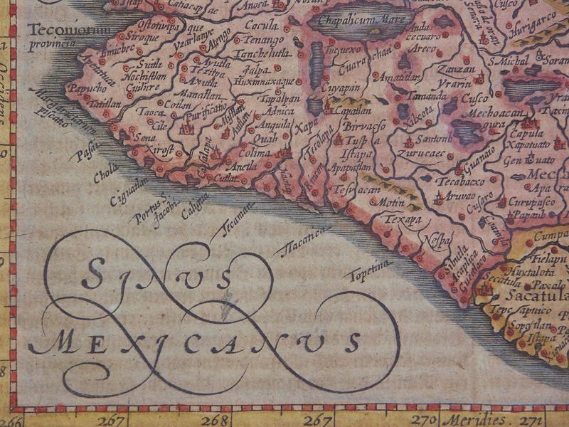
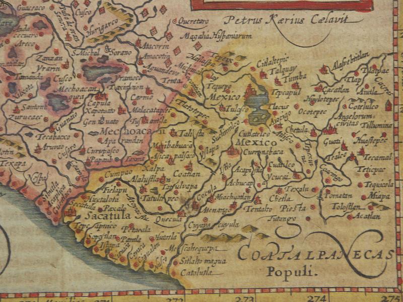
=*Mexico*
[=*Mexico, 1631 ed.*: *northwest*; *northeast*; *southwest*; *southeast*
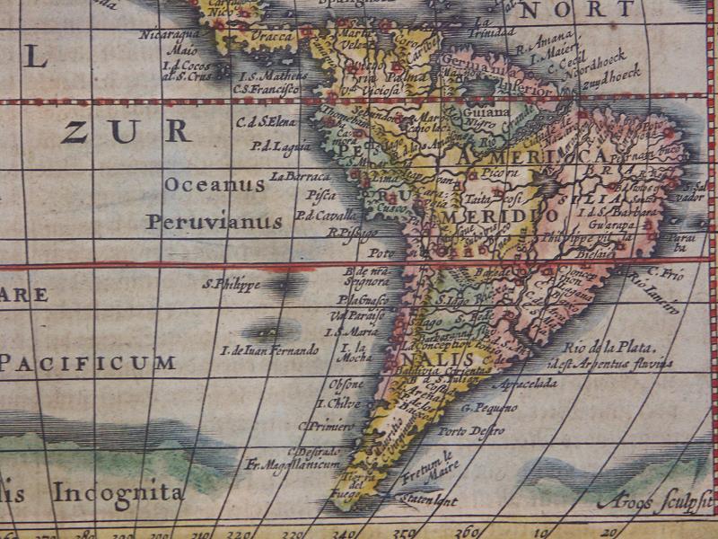
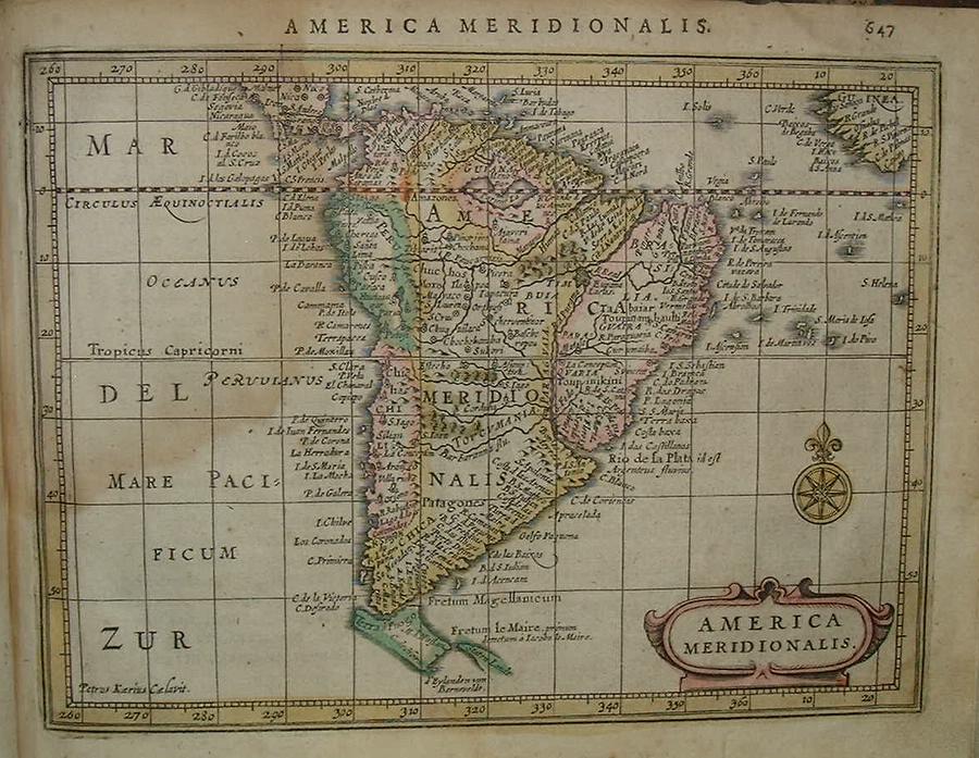
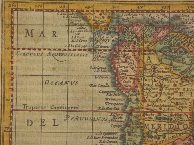
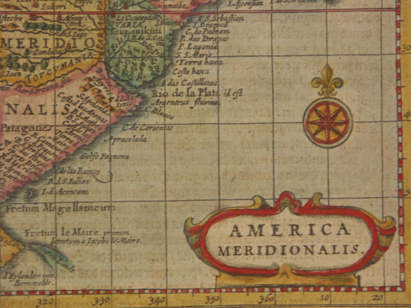
=*South America*: *the northern part*
[=*South America, 1631 ed.*: *northwest*; *northeast*; *southwest*; *southeast*]
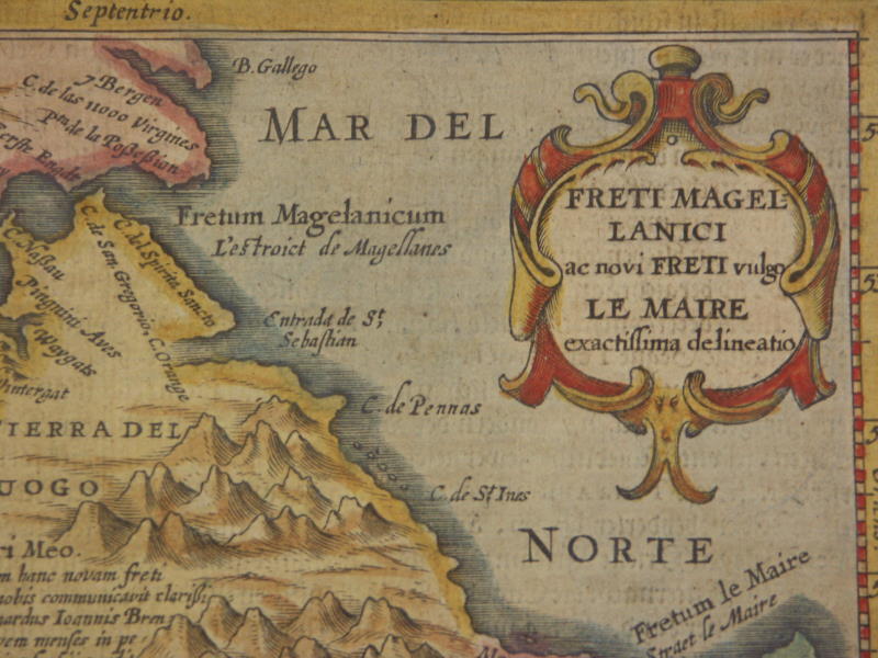
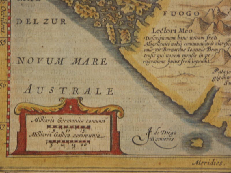
[=*Tierra del Fuego, 1631 ed.*: *northwest*; *northeast*; *southwest*; *southeast*]
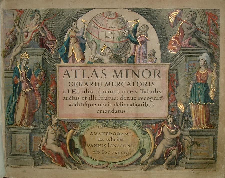
The "Atlas Minor" by *Gerard
Mercator*, Jodocus Hondius the Elder & Joannes
Janssonius
had the full title of "ATLAS MINOR GERARDI MERCATORIS À I.
HONDIO
PLURIMIS ÆNEIS TABULIS AUCTUS ET ILLUSTRATUS: DENUO RECOGNIT,
ADDITISQUE
NOVIS DELINEATIONIBUS EMENDATUS" Amsterodami, Ex officina Ioannis
Ianssonii,
1634.
"Originally published in 1607 by Jodocus Hondius and Jan Janszoon, this is the 1634 Latin edition of Mercator's Atlas minor, published by Joh. Janssonius. Gerard Mercator spent his childhood in Gülich and went to the University of Leuven where he was registered as a student without means' on 29 August 1530. The problems of the creation of the Universe and the Earth interested him in particular; this is reflected by his works, written in later years. As his personal opinions did not agree with the scholastic philosophy as lectured at Leuven, he left the city for Antwerp, where he could contemplate without being influenced. Convinced of the importance of exact sciences, for the study of the true configuration of the world, he returned to Leuven, ca. 1535, where he took courses in mathematics, both theoretical and practical, under the guidance of Gemma Frisius. Soon he was recognised as an expert on the construction of mathematical instruments, as a land-surveyor and, after 1537, as a cartographer. By the sale in 1604 of the plates for the maps, both of the Ptolemy edition and the Atlas, to Jodocus Hondius of Amsterdam, Mercator's work won its proper fame. Shortly after the publication of the big folio-atlases (the Atlas, sive cosmographicae meditationes de fabrica mundi et fabricat figura 1585-9, and the edition of Ptolemy's Geographia 1578) the need was apparently felt for a smaller-sized atlas, one that would be handier and, above all cheaper, so that a larger public might have access to the use of maps. During the preparation of the publication of Mercator's large Atlas, Jodocus had the maps reduced, in order to publish them as the Atlas Minor in 1607. The publisher, Cornelis Claesz, also participated in this enterprise. The copperplates for the first atlases minor were most probably by Hondius himself. In 1628, Joh. Janssonius published a series of new editions of the Atlas minor; the necessary copperplates were partly made by Petrus Kaerius (Pieter van den Keere) and Abraham Goos."
== Mughal index == Main map index == Glossary == FWP's main page