ATLAS MAPS, 1740
ATLAS MAPS, 1740
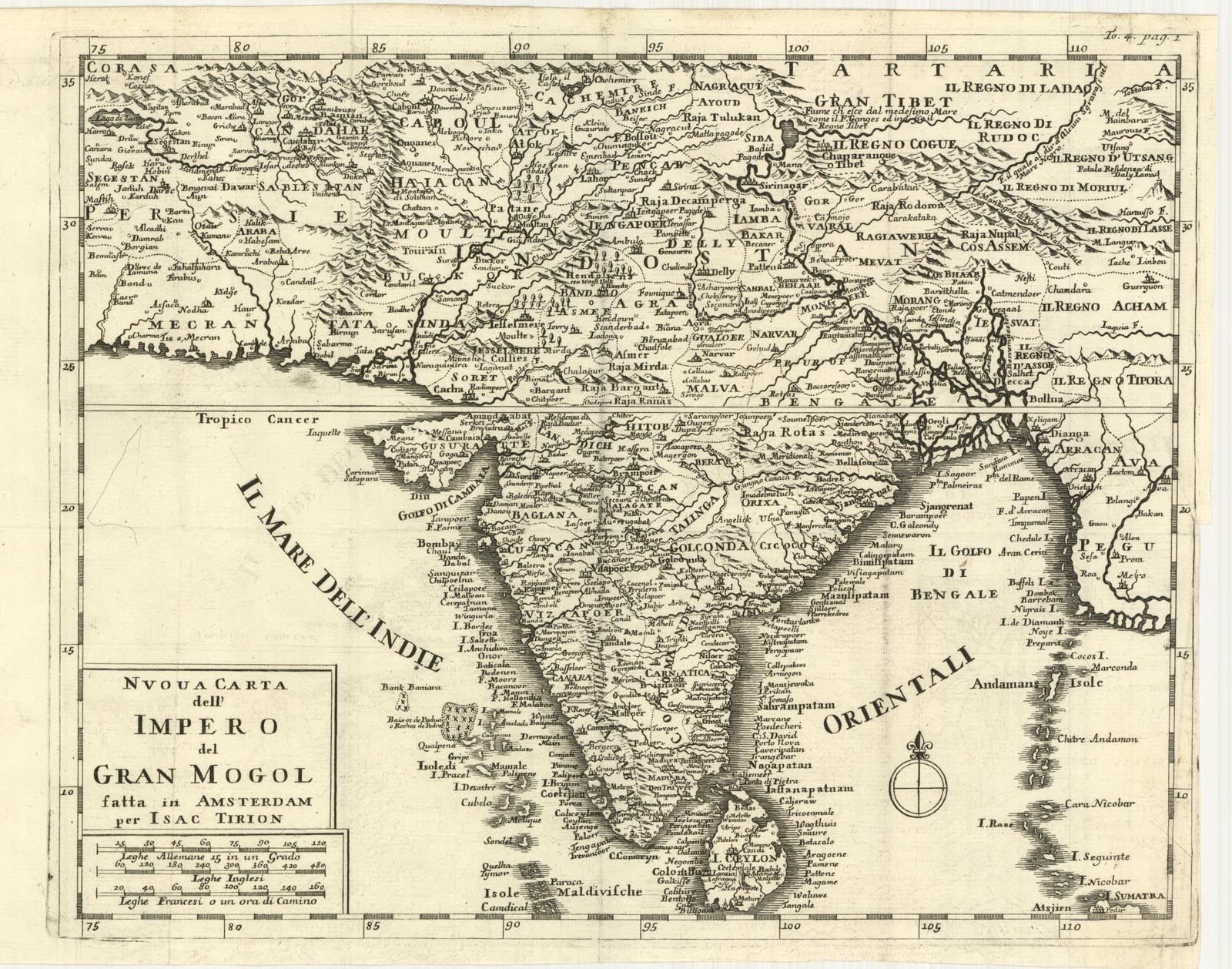
India, a copperplate atlas map from "Nuova Carta dell'Impero del Gran Mogol...," Amsterdam 1740, by Isaac Tirion (1705-1765); map size c. 28.3 x 35.6 cm. More maps from the same set:
*India* (shown above): *Sind*; *Bengal*; *the Malabar Coast*; *the Coromandel Coast*; *the South*; *from a Dutch edition, 1731*
*Ceylon*: *northwest*; *northeast*; *southwest*; *southeast* ; *from a Dutch edition, 1731*
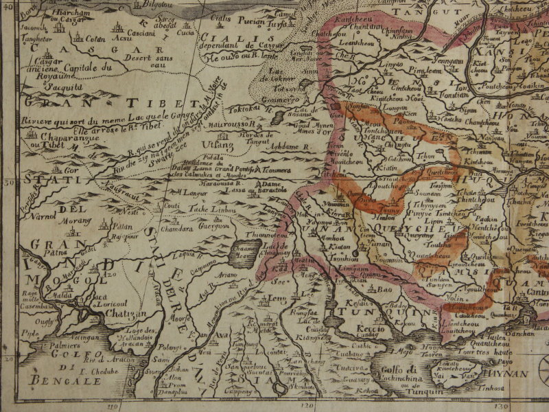
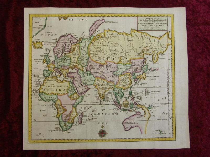
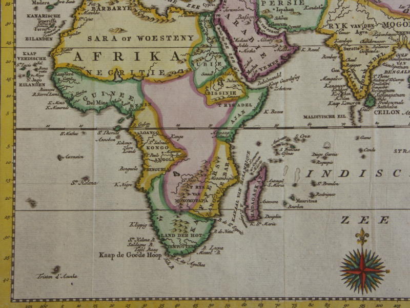
*Asia*: *northwest*; *northeast*; *southwest*; *southeast*
*Southeast Asia*: *northwest*; *northeast*; *southwest*; *southeast*
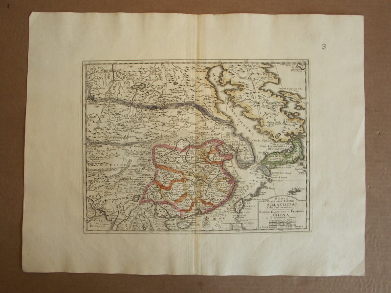
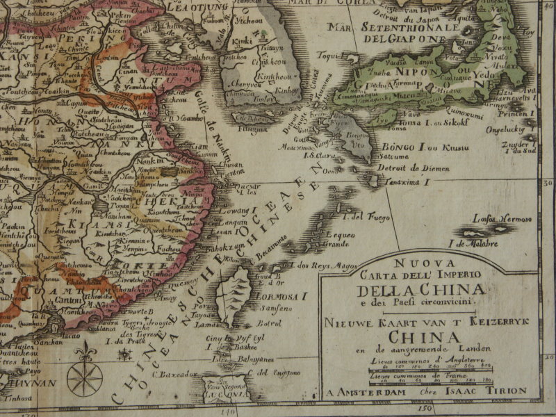
*Indonesia*: *northwest*; *northeast*; *southwest*; *southeast**China*: *northwest*; *northeast*; *southwest*; *southeast*
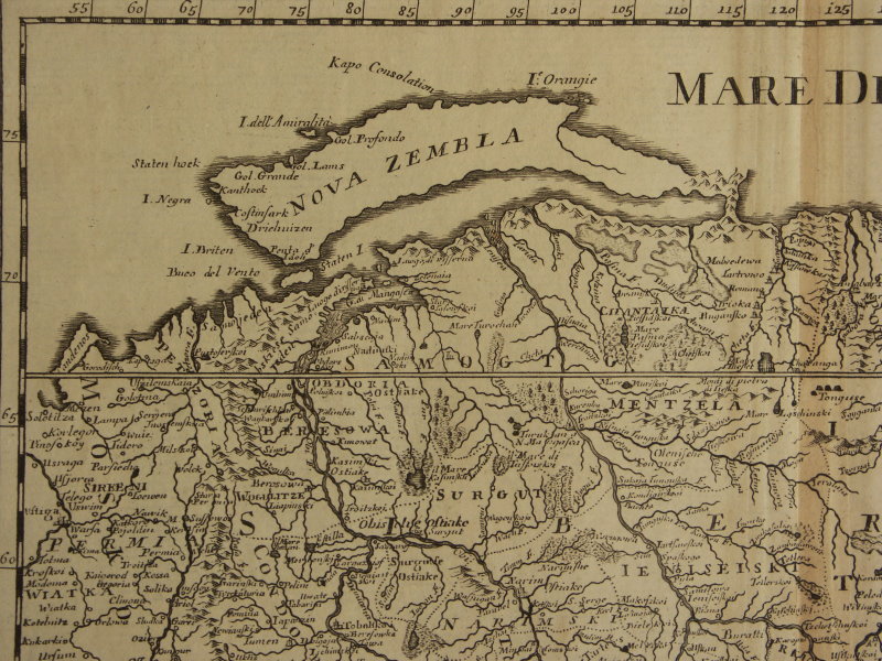
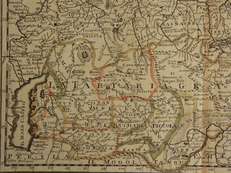
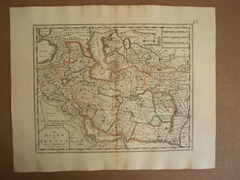
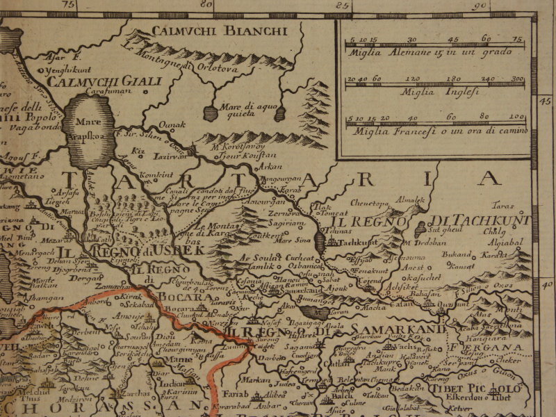
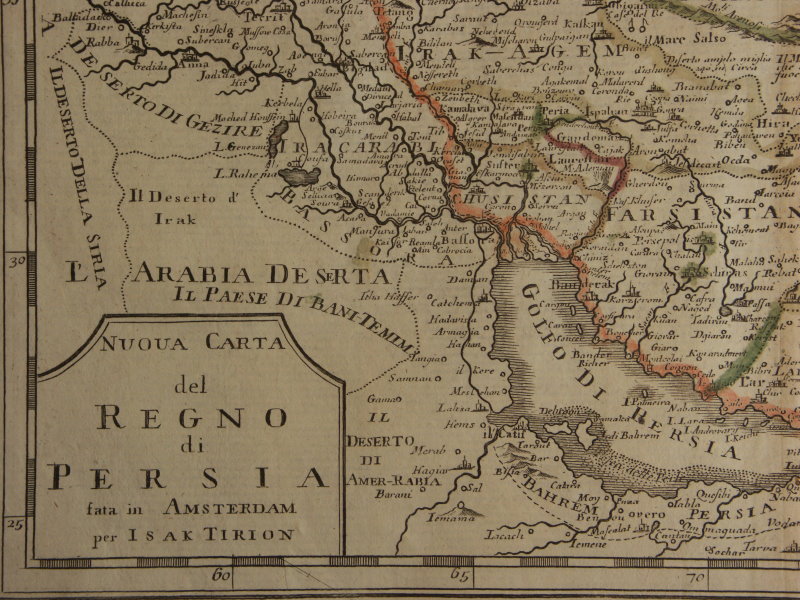
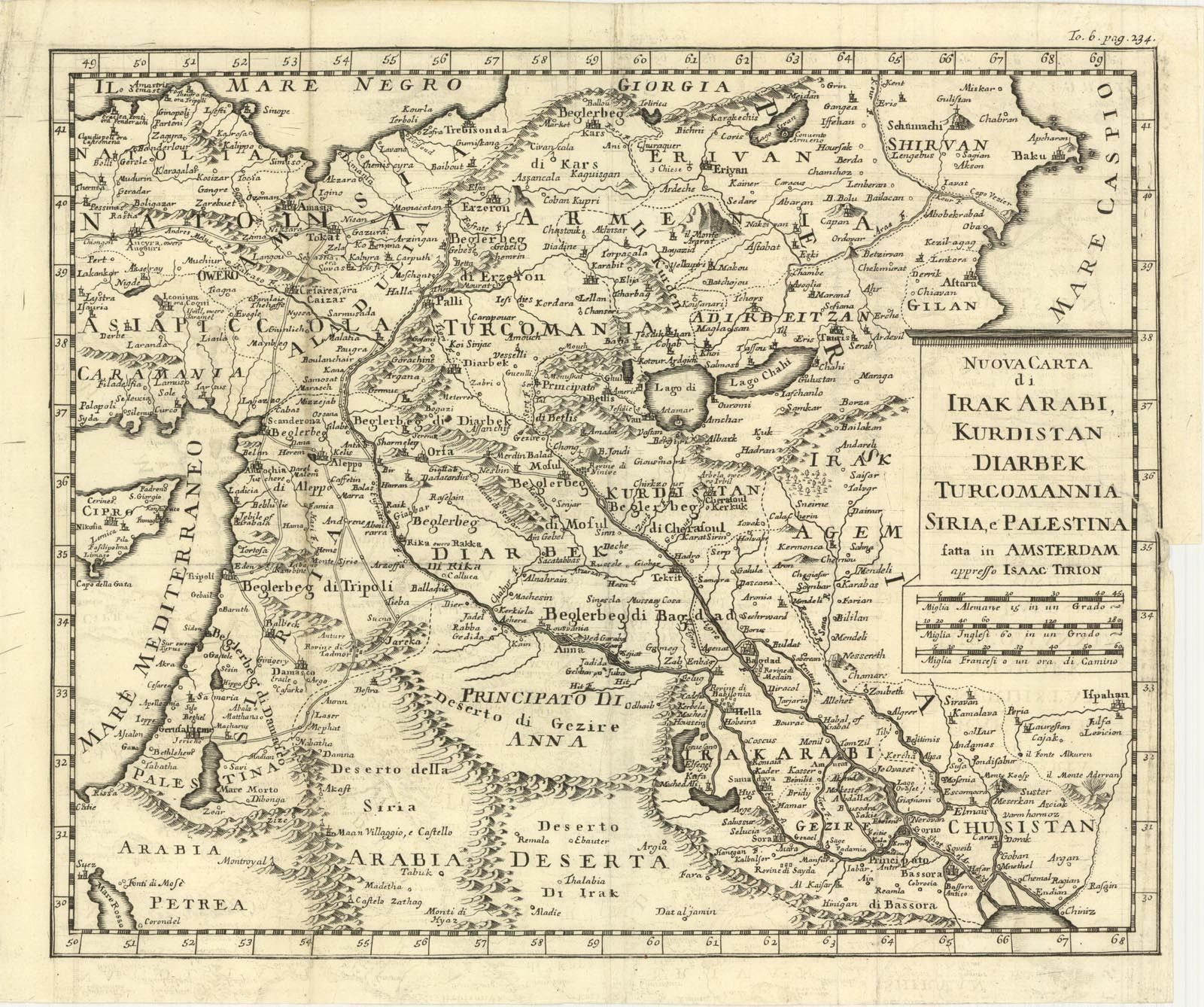
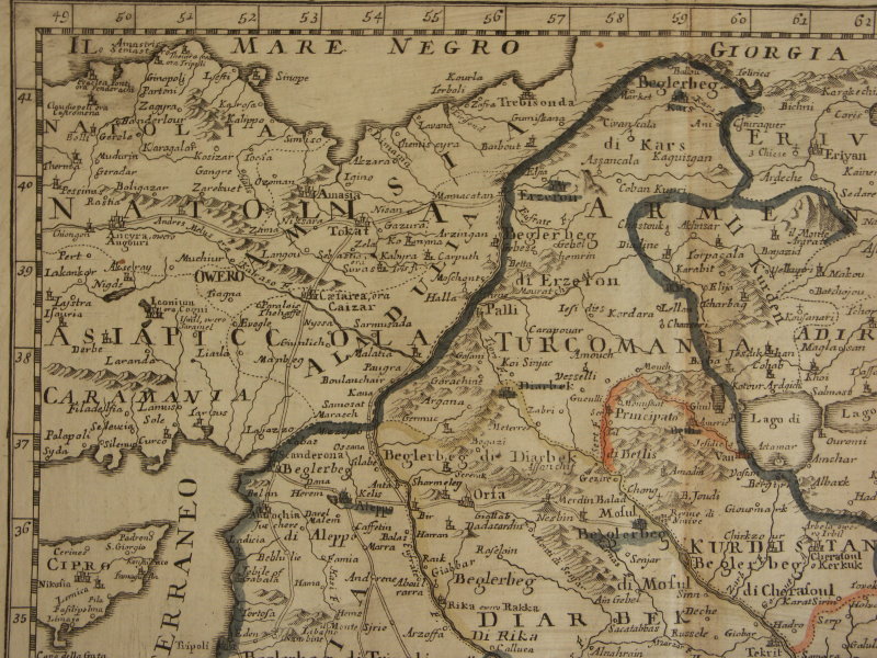
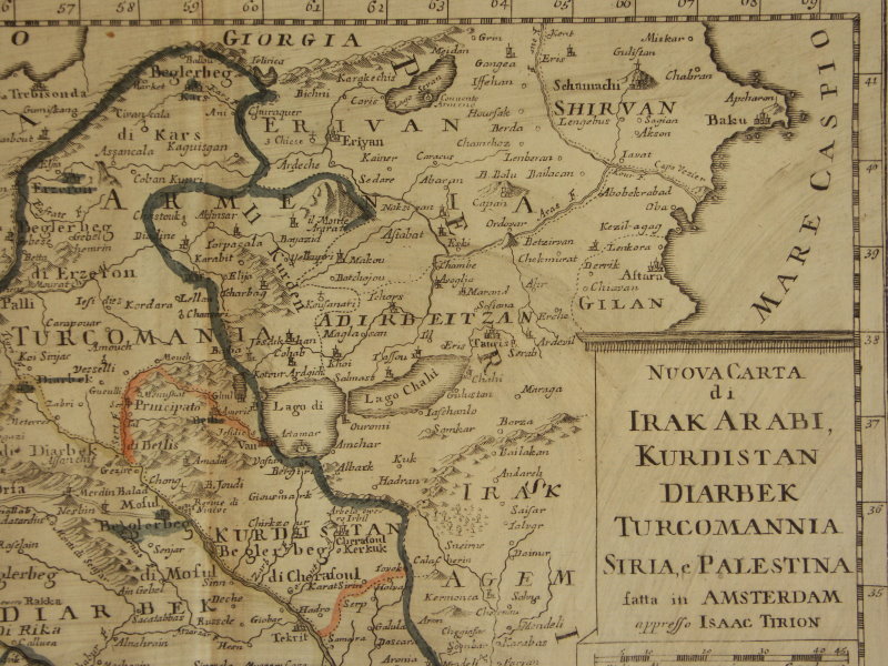
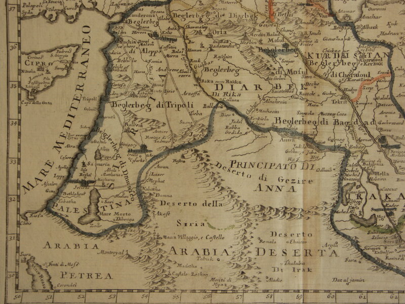
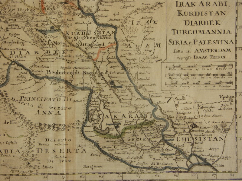
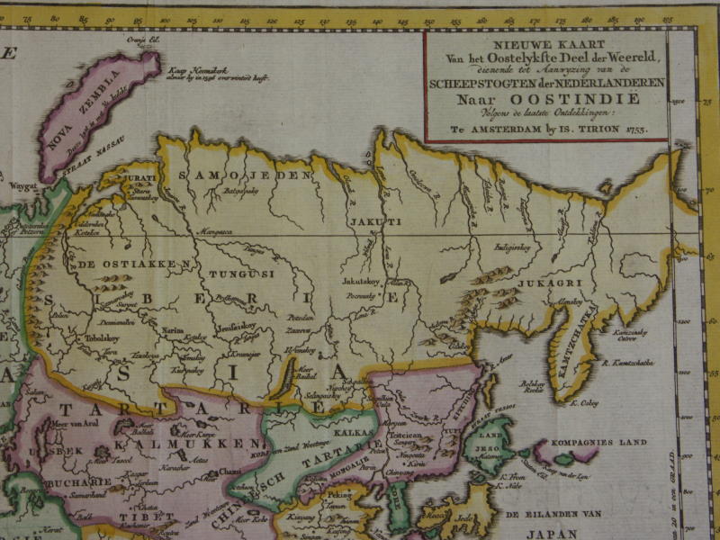
*North Asia*: *northwest*; *northeast*; *southwest*; *southeast**Persia*: *northwest*; *northeast*; *southwest*; *southeast*
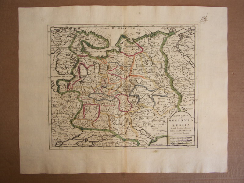
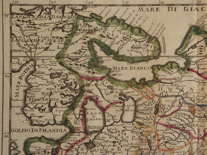
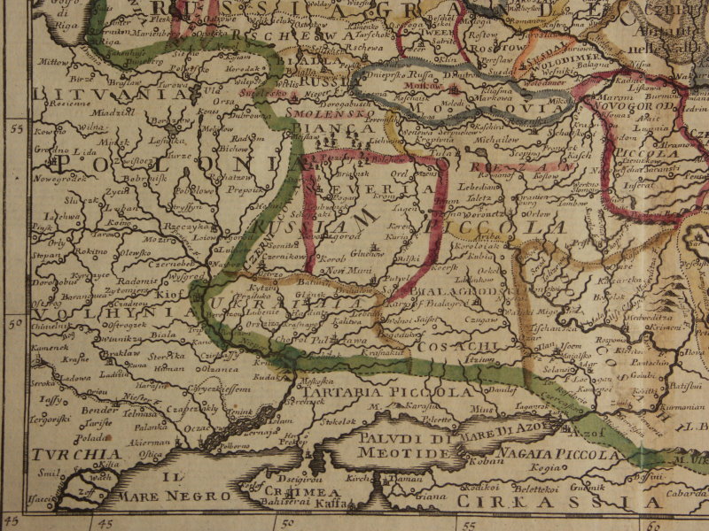
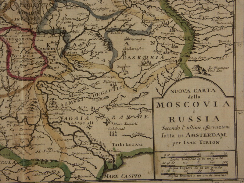
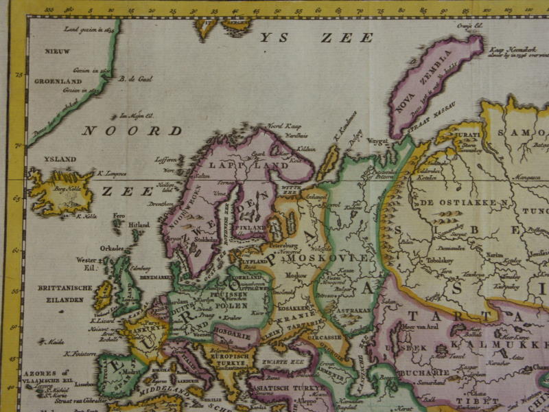
*West Asia*: *northwest*; *northeast*; *southwest*; *southeast**European Russia*: *northwest*; *northeast*; *southwest*; *southeast*
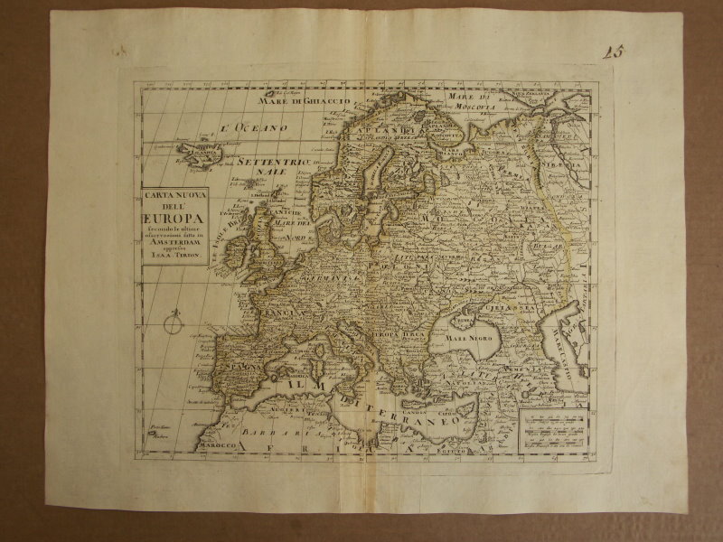
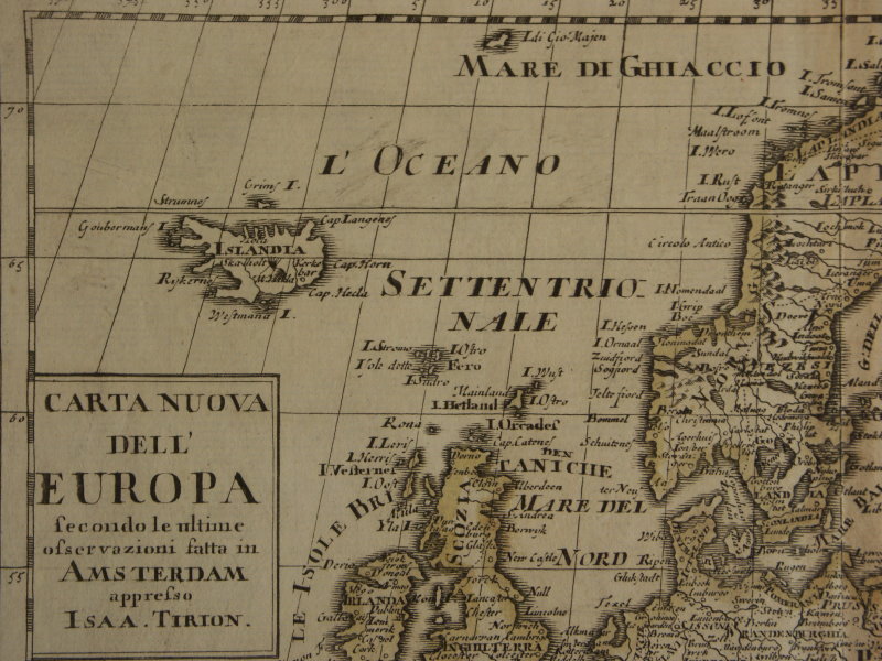
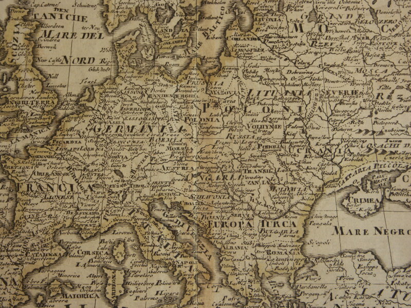
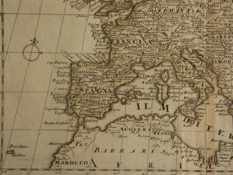
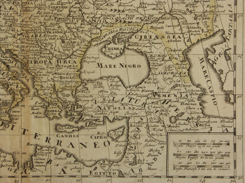
*Europe*: *northwest*; *west central*; *northeast*; *southwest*; *southeast*
[*Eurasia, 1753*: *northwest*; *northeast*; *southwest*; *southeast*]
== Mughal index == Main map index == Glossary == FWP's main page