
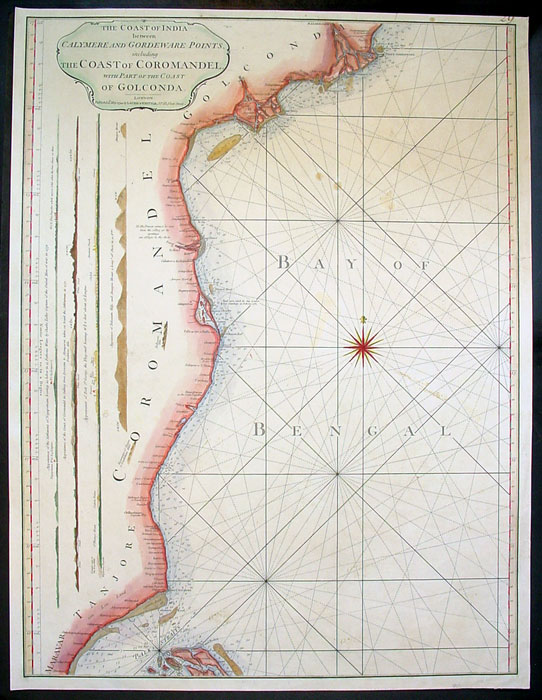
The Malabar (southwest) and Coromandel (southeast) coasts, with their network of small trading ports, 1749
Source: ebay, Nov. 2004
"Thomas Jeffreys was an English engraver, geographer & publisher whose work was both prolific and of a high standard. This attractive map comes from the series he engraved for Salmon's "Geographical Grammar", first published in 1749, and is from the 1764 edition."

A town's harbor or water access actually came to be called its "road" (see the full *map of Madras by Herman Moll, 1726*)
Source: ebay, Feb. 2005
Source: ebay, Nov. 2004
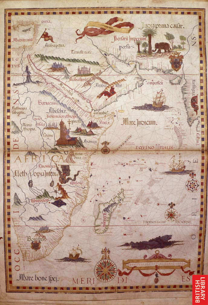
Even on this very early map (1558), the density of known coastal towns is remarkable
Source:
http://www.imagesonline.bl.uk/britishlibrary/controller/textsearch?text=india&idx=1&start=175
(downloaded Jan. 2005)
"Countries around Indian Ocean. Description: (Double opening) Map of the Indian Ocean showing parts of Arabia, East Africa, Persia, Western India and Madagascar; in Ethiopia, Prester John is depicted on his throne. Title of Work: Queen Mary atlas. Author: Homem, Diego. Production: 1558."
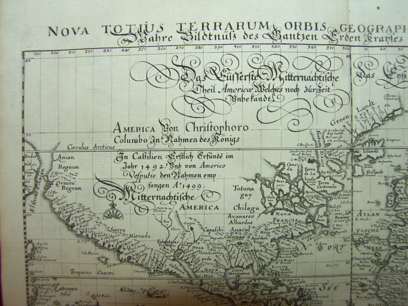
The Americas too were explored in this way, with great coastal knowledge but little information about the interior (from a map by Matthaus Merian, Frankfurt, 1646)
Source: ebay, Nov. 2007
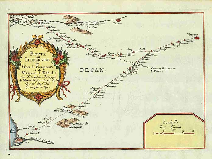
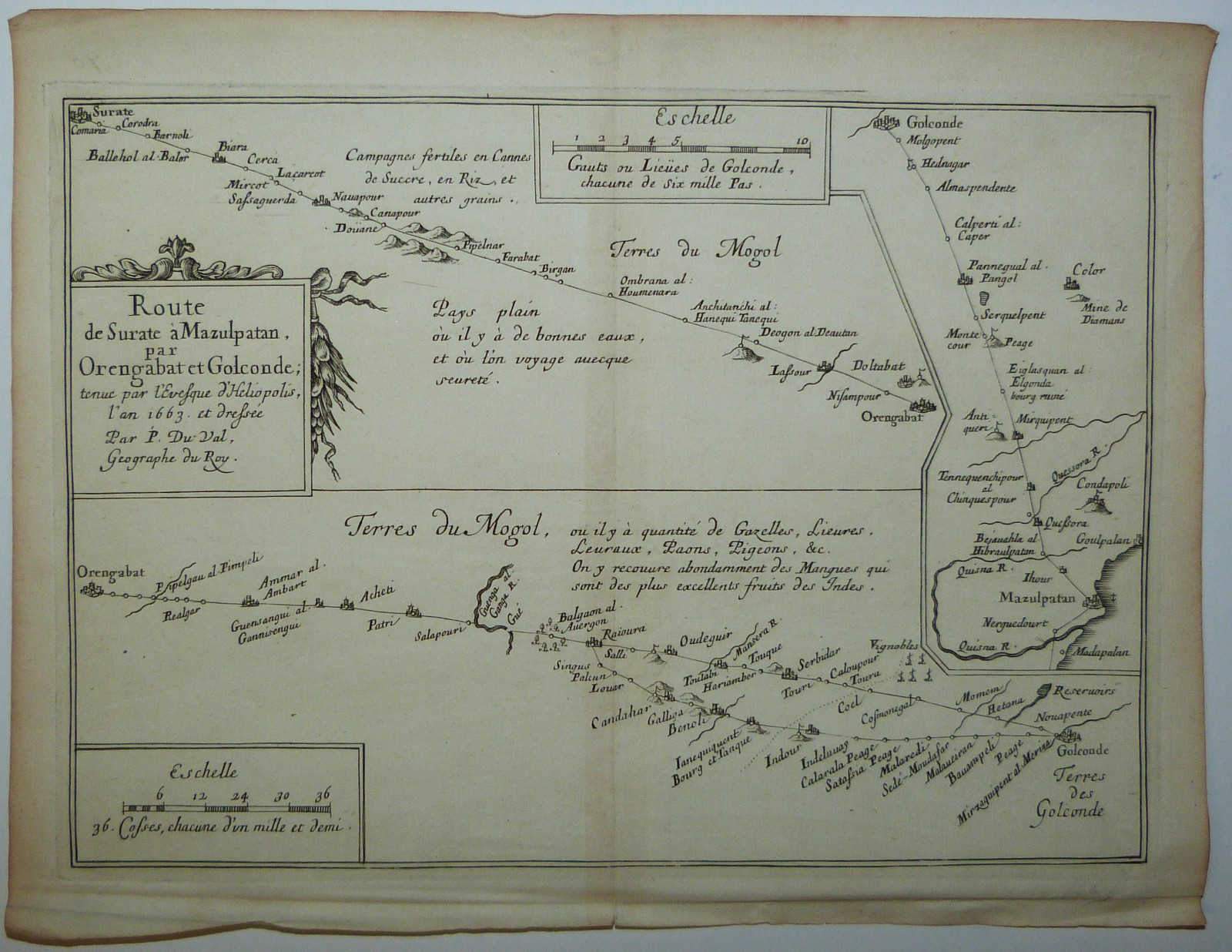
Moving inland was sometimes a very uncertain enterprise, and towns were often depicted strung into long lines like subway routes, as on this map by Pierre Du Val, 1666; *Du Val's more detailed route map of the Deccan, 1690, from Surat westward* (in it he especially recommends mangoes, "the best fruit of India")
Source: ebay, Mar. 2004
== Indian Routes index == Indian Routes sitemap == Glossary == FWP's main page ==