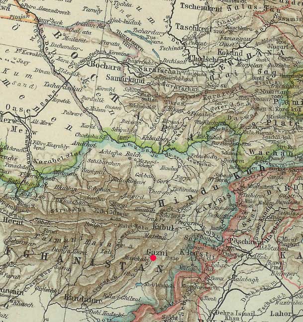
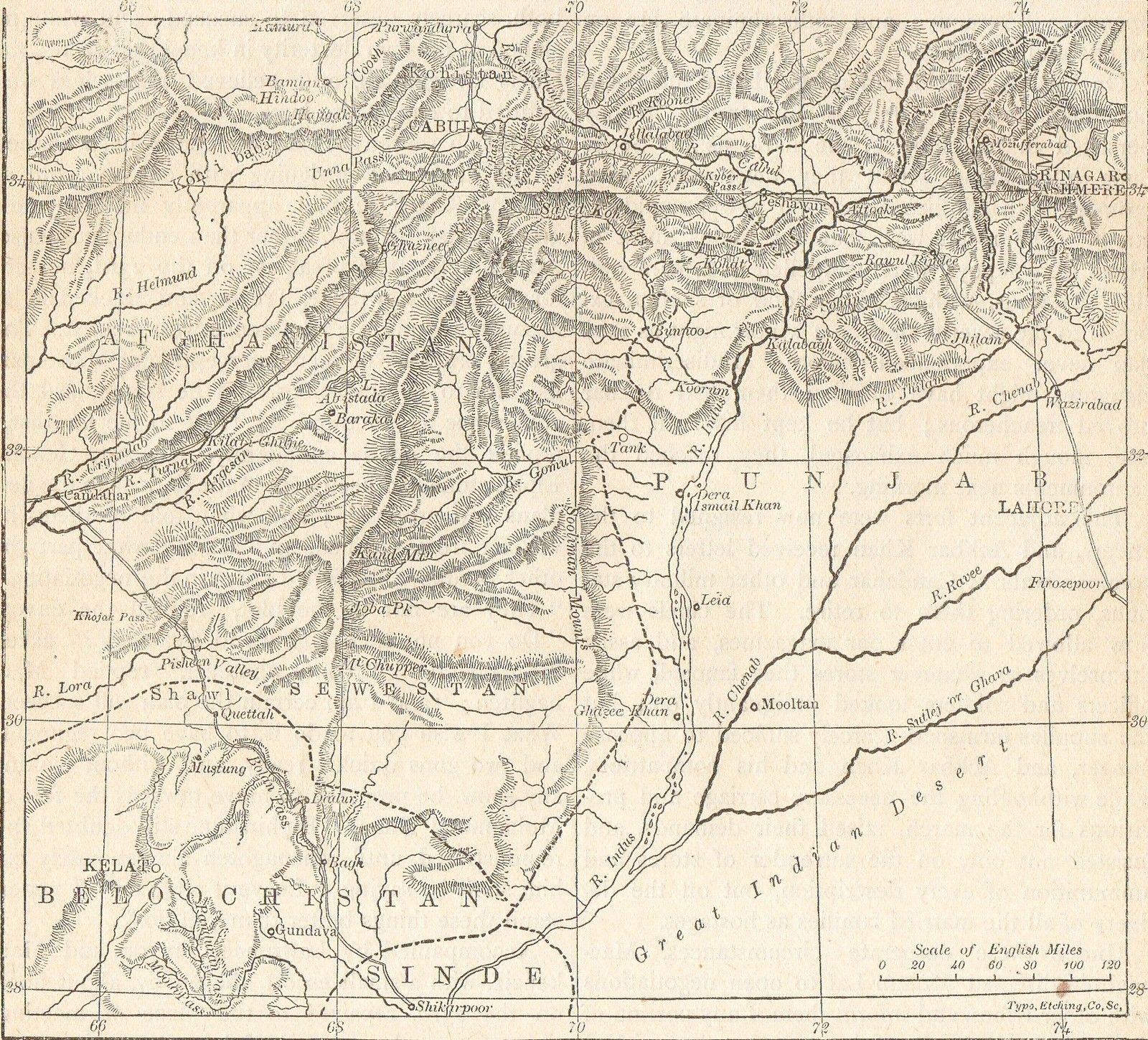
Ghazni in its setting, from a German physical map (Meyers Hand Atlas, Leipzig, 1900)
Source: ebay, Jan. 2006
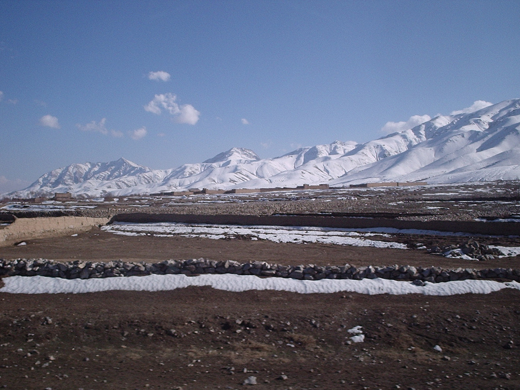
On the road between Kabul and Ghazni
Source: http://www.flickr.com/photos/98468252@N00/97156590/
(downloaded Jan. 2008)
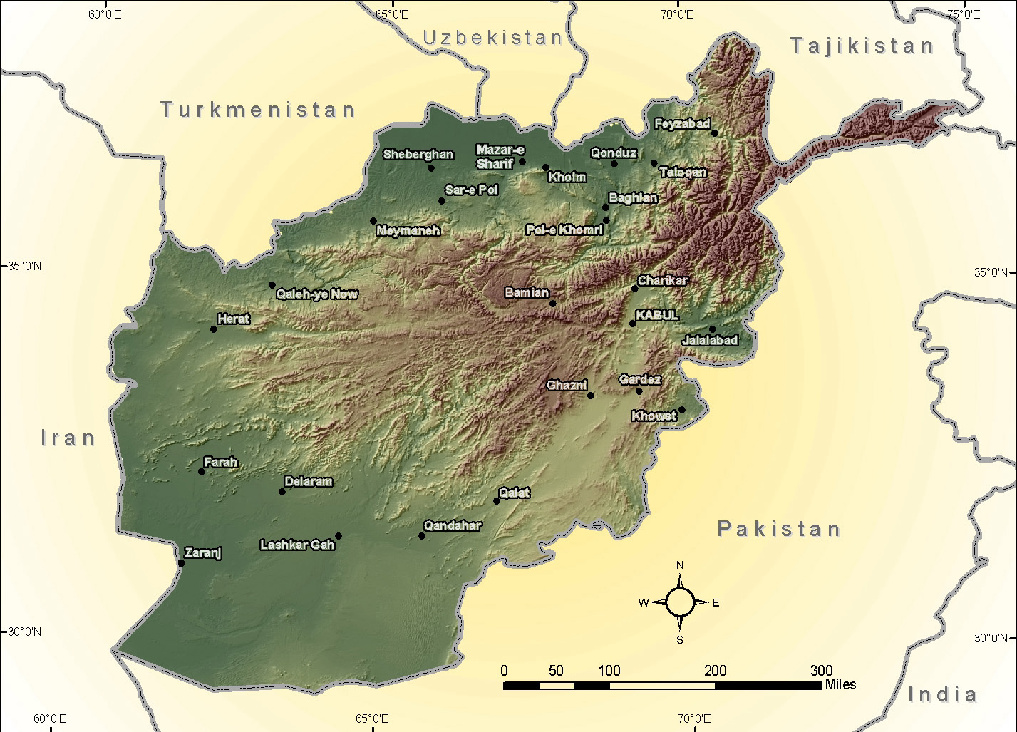
A physical map of Afghanistan; CLICK ON THE MAP FOR A VERY LARGE SCAN
Source:
http://www.army.mil/operations/oef/AfghanistanReliefMap.jpg
(downloaded Feb. 2008)
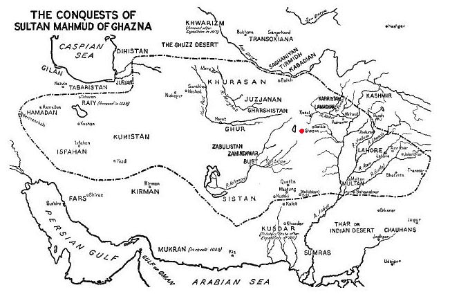
The kingdom of Mahmud Ghaznavi, including Lahore and the Panjab as its eastern frontier
Source:
http://southasiacoins.virtualave.net/images/maps/conquests_of_ghazna.gif
(downloaded June 2001)
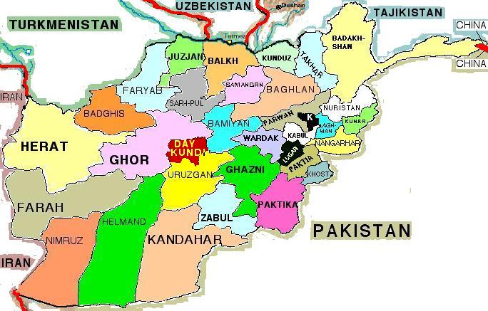
A modern map of Afghanistan showing the relative positions of Ghazni and the Ghur, or Ghor, region to its west
Source:
http://www.afghanistan-seiten.de/afghanistan/afg_map33.jpg
(downloaded Jan. 2006)
== Indian Routes index == Indian Routes sitemap == Glossary == FWP's main page ==