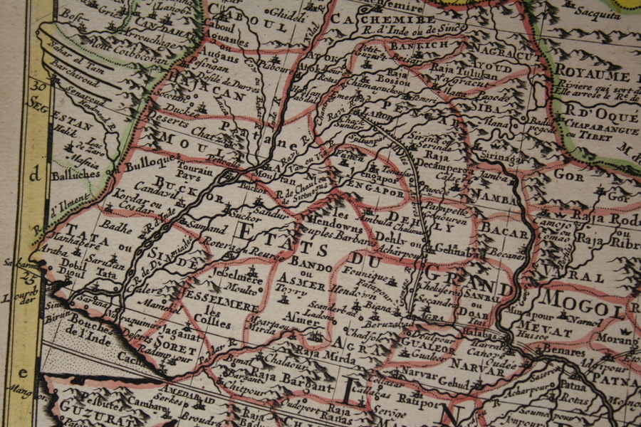
From a map of Asia by Guillaume de l'Isle, Paris, 1740
From a map by Robert de Vaugondy, from Atlas Portratif Universel et Militaire avec privilege du Roi, Paris, 1749
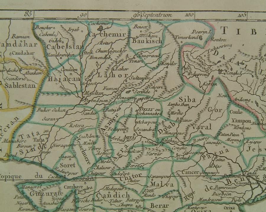
From a French map by Rigobert Bonne, 1762
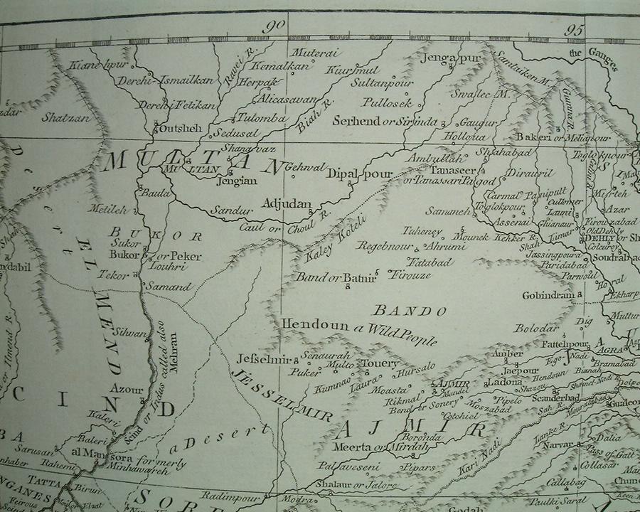
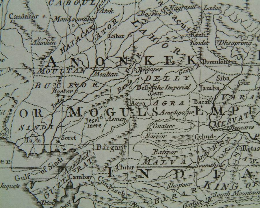
From "The East Indies including more particularly The British Dominions on the Continent of India" by Thomas Kitchin & John Blair, London, 1768
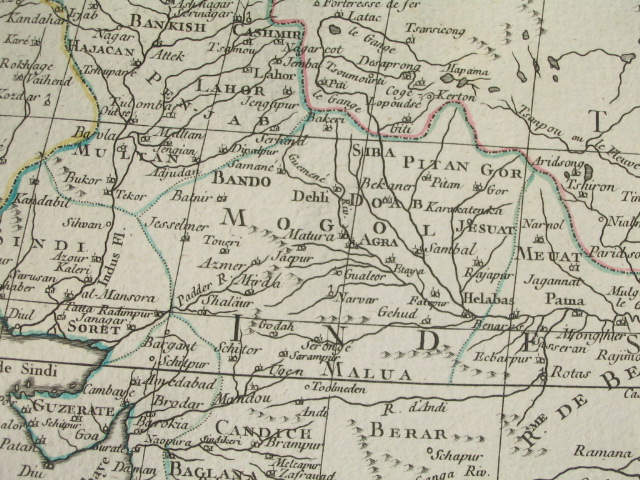
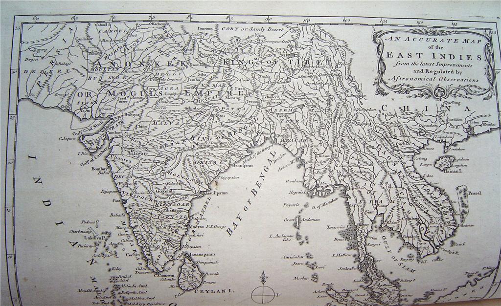
From a map by Thomas Bowen, in "A New & Complete System of Universal Geography" by Charles Theodore Middleton, London, 1778; *the whole map*
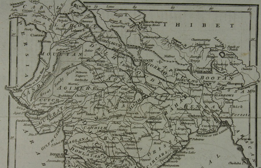
*From a map by J. Barlow, published by R. Edwards, London, 1798*
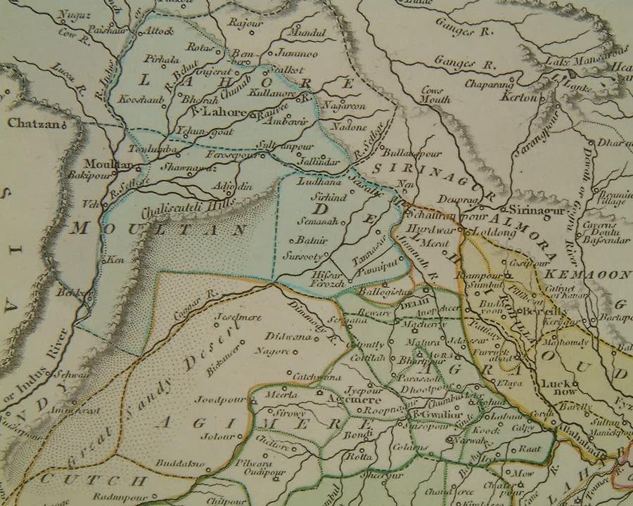
From "A General Atlas Being a Collection of Maps of The World and Quarters, the Principal Empires & Kingdoms," by Robert Wilkinson, London, 1800
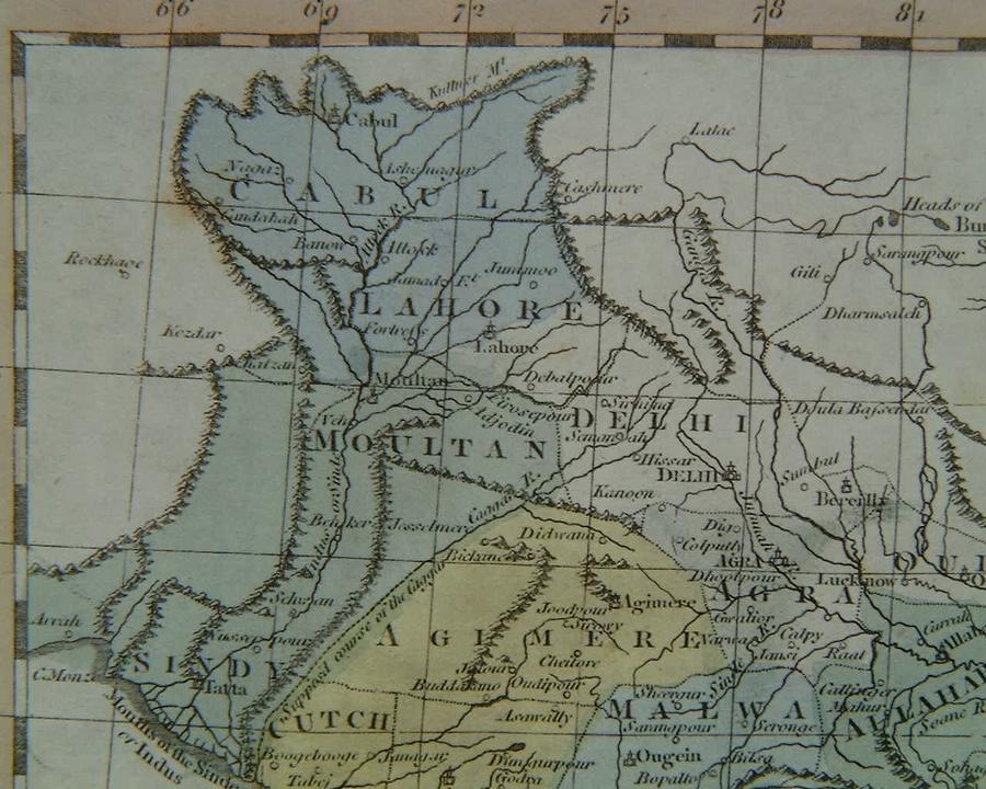
*From a map by Samuel John Neele (1758-1824), published by Longman & Co., London, 1808*
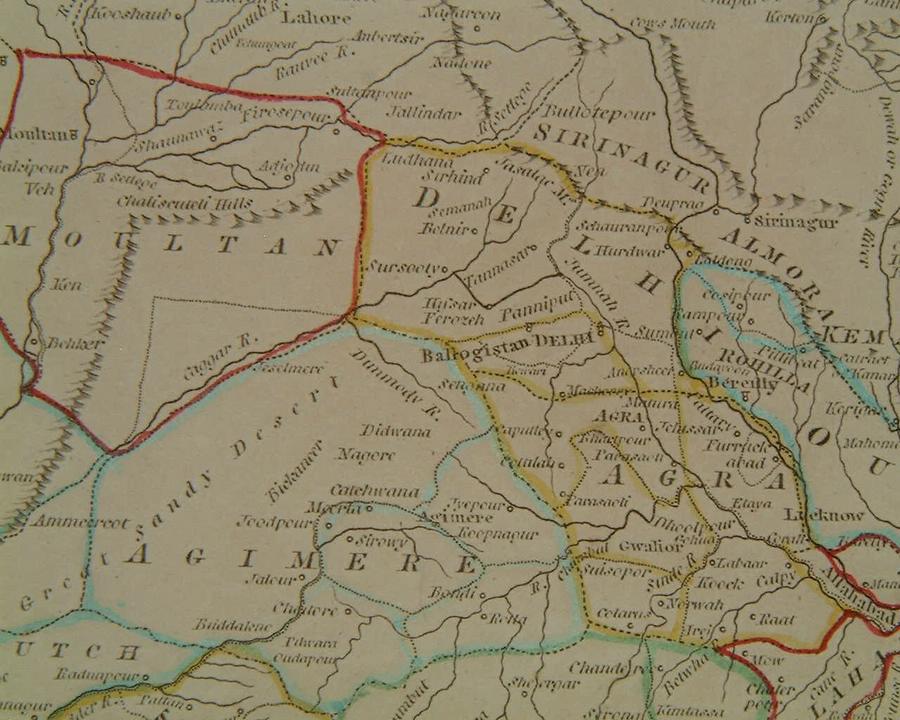
From a map by by John Russell, published by Nuttal, Fisher & Co., Liverpool, 1814
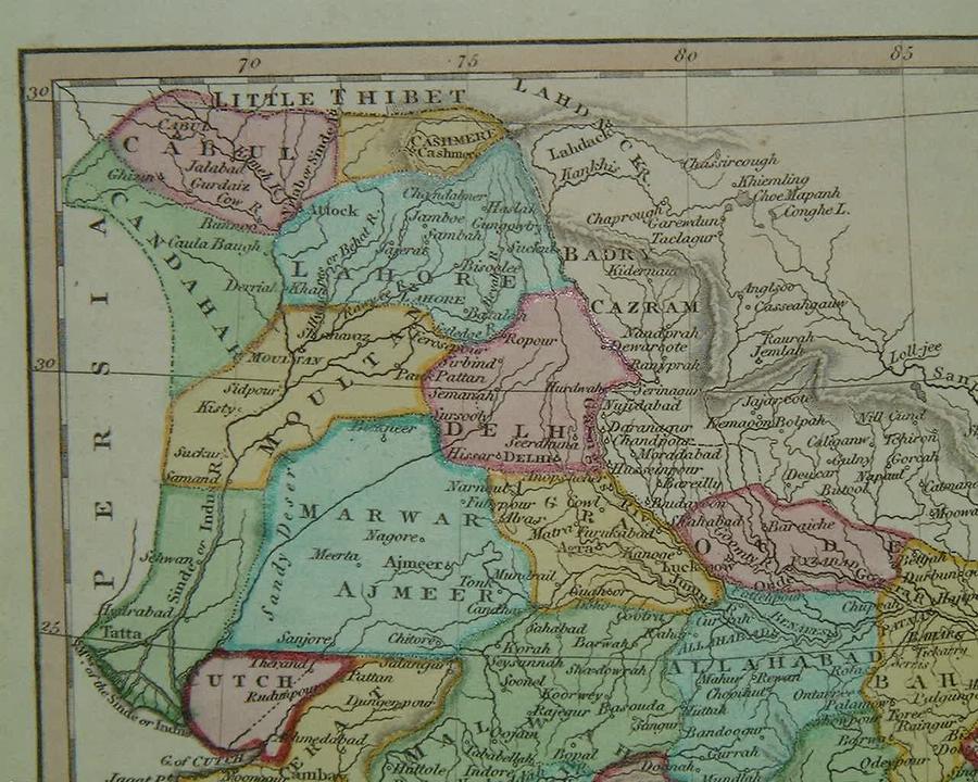
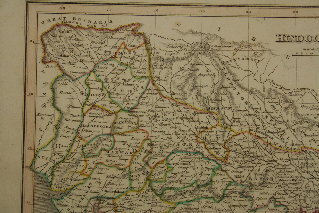
*From a map by James Wyld, from 'A General Atlas', London, 1819*
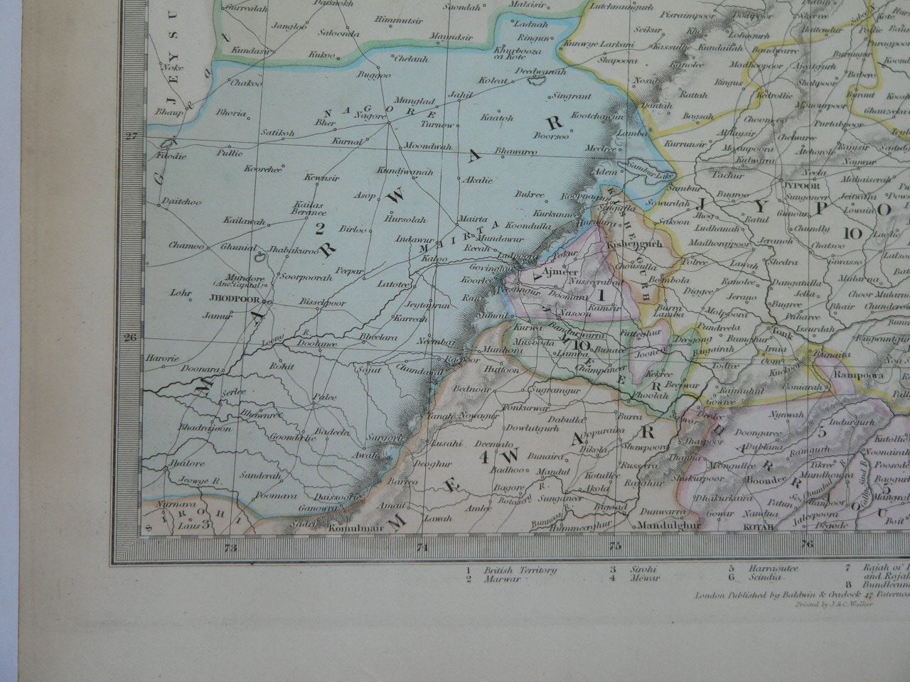
*From a map by SDUK (the Society for the Diffusion of Useful Knowledge), 1833*
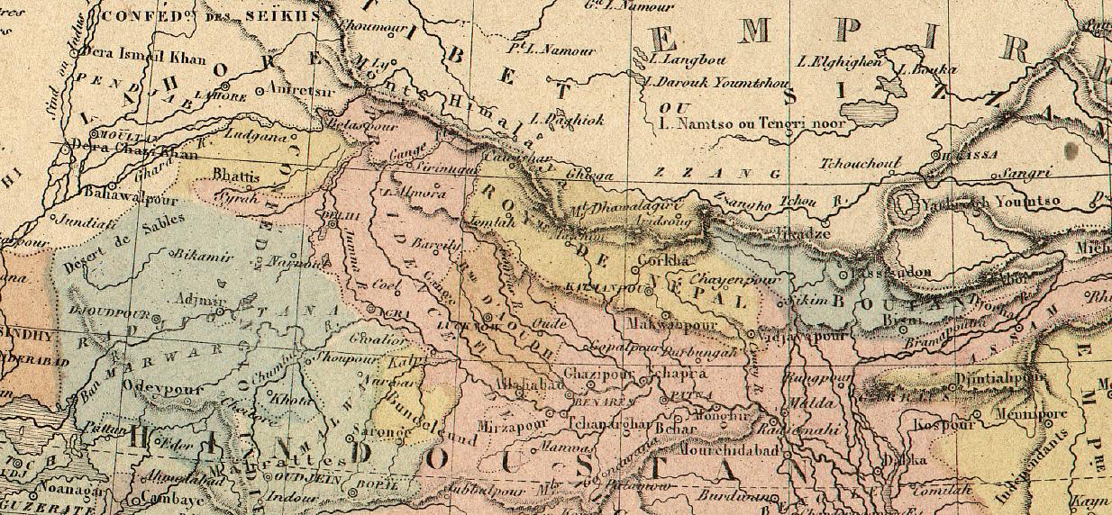
*From a map by Alexandre Veuillemin, 1852*
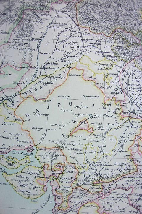
*"Rajputana," from the Encyclopedia Britannica, 1878 edition*
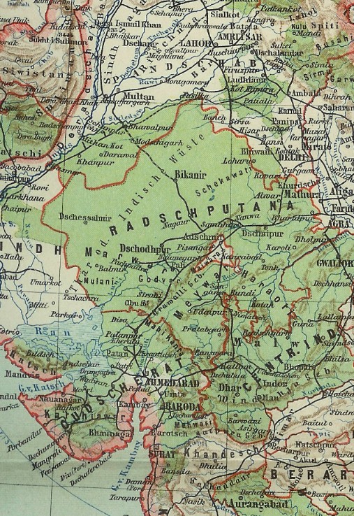
*A German map from "Meyers Hand Atlas," Leipzig, 1900*

A modern tourist map of Rajasthan
Source: http://indtravel.com/rajasthan/graphic24/rajmap3.gif
(downloaded Jan. 2006)
*MAPS c.1500-1750* -- *MAPS c.1750-1900* -- *MAPS*