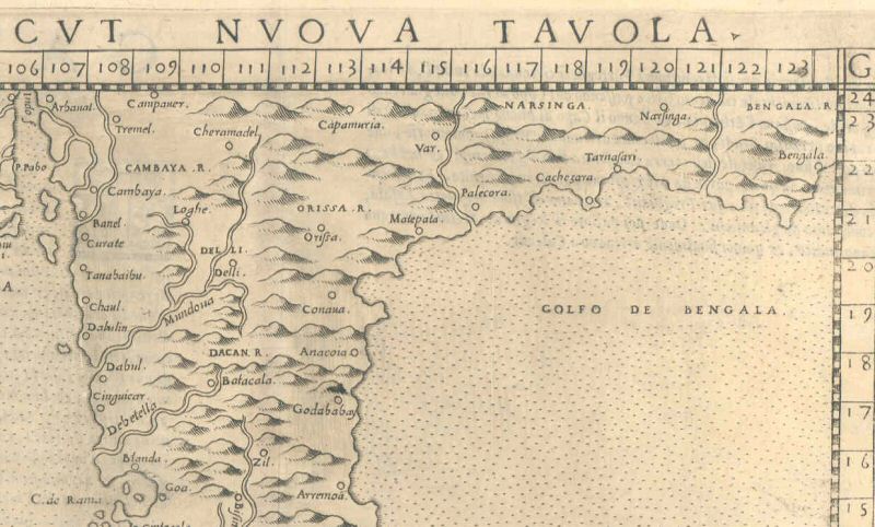
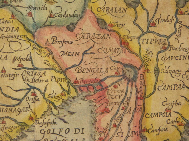
*From "Calecut Nuova Tavola" by Girolamo Ruscelli, Venice, 1574*
*From a map of Asia by Munster, 1628*; *the whole map (with north to the right)*
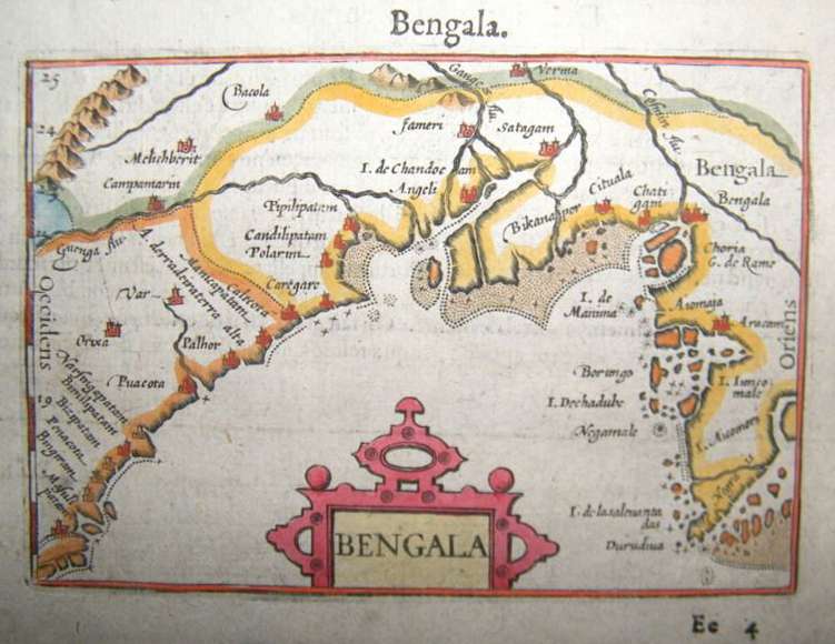
*From William Blaeu's map of 1638*
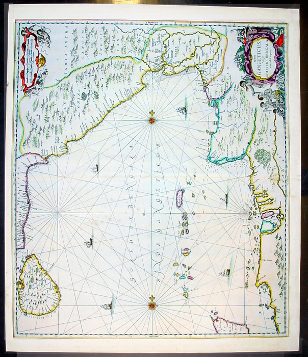
*From Jansson, 'Atlas Atlantis Majoris', 1650 (with north at the bottom)*
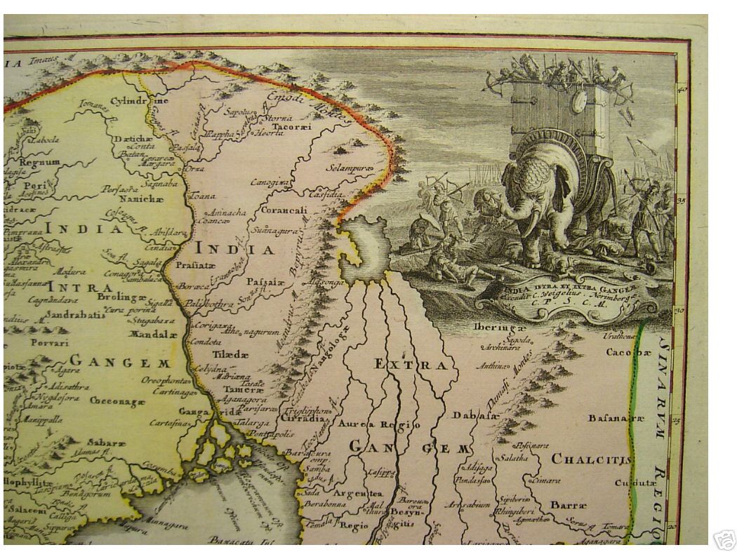
*From a map by C. Weigel, Nuremberg, 1720*
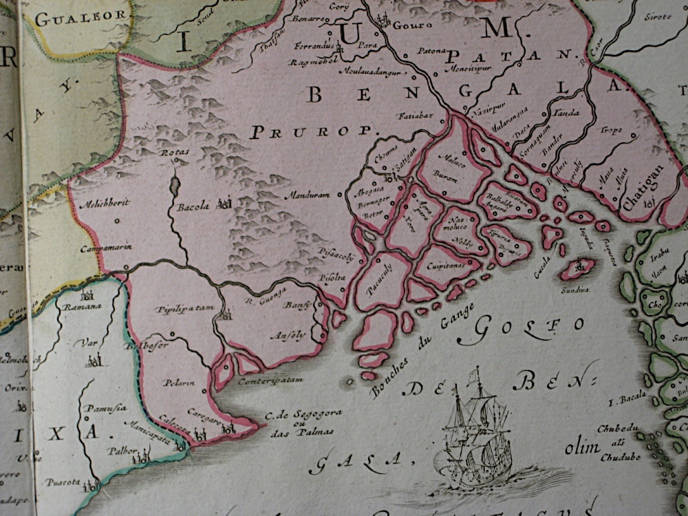
*From a map of the Malabar and Coromandel Coasts by Guillaume de l'Isle, Amsterdam, 1733*
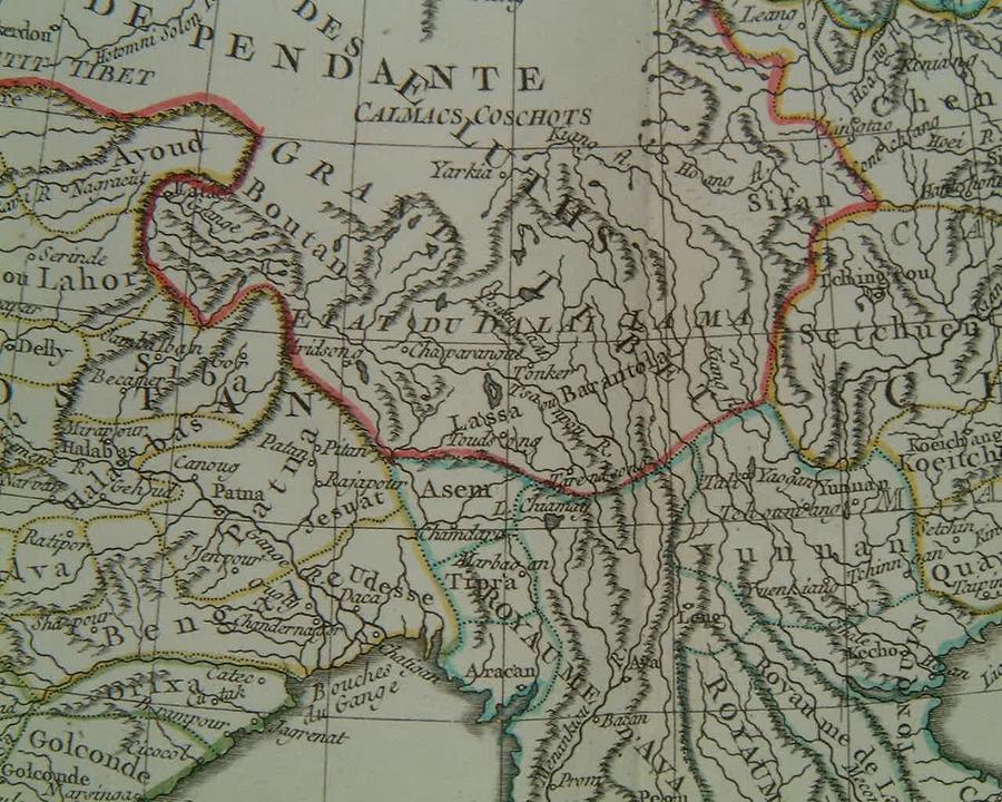
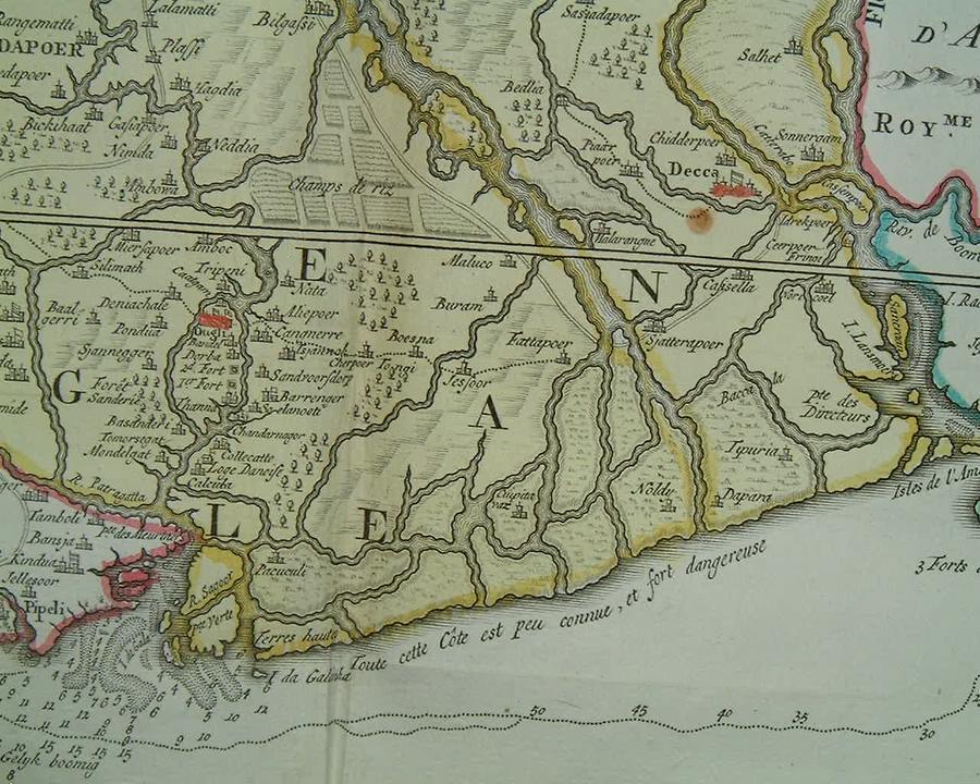
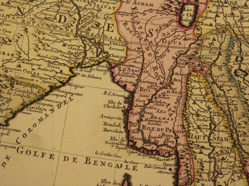
*From a map of central and eastern Asia by Guillaume de l'Isle, Amsterdam 1740*
From a map by Didier Robert de Vaugondy, from "Nouvel Atlas Portatif," Paris, 1762
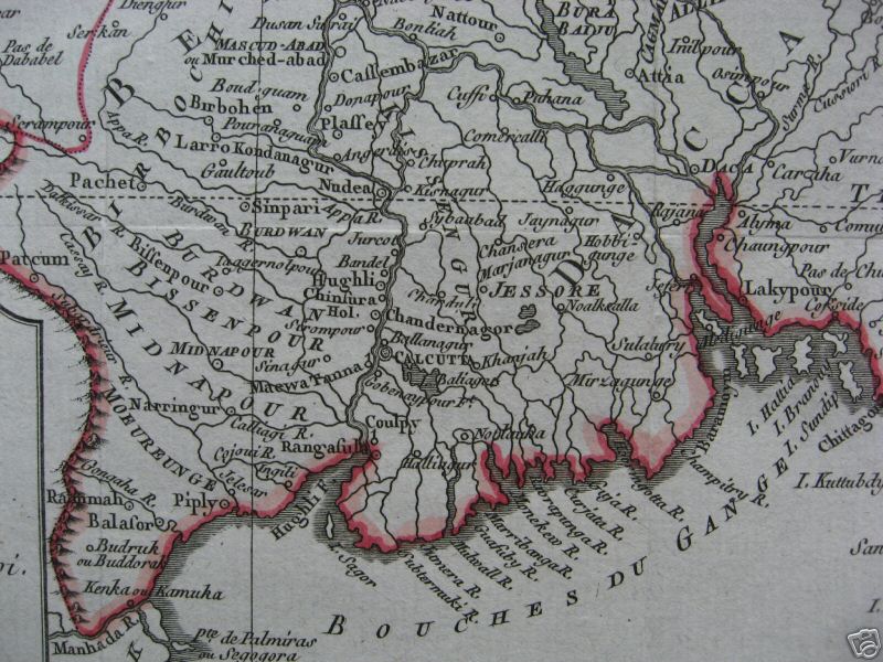
From a map by Bellin, 1770, with original hand coloring
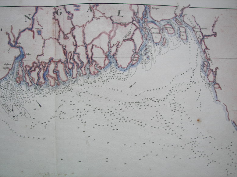
*A sea chart for mariners by Mannevillette ("Neptune Oriental," 1775)*: "Chart of the northern part of the Bay of Bengal layd down chiefly from the surveys made by Bartholomew Plaisted and John Ritchie"
From a map by Louis Brion de la Tour, from 'Histoire Universelle depuis le Commencement du Monde', c.1780
*From a map by Rigobert Bonne, 1780*
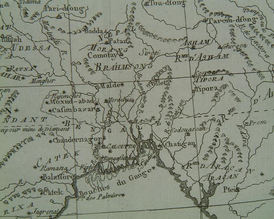
*From "L'Inde," by Jean-Denis Barbie du Bocage, c.1790*
*From a map by John Russell (W. Peacock, London, 1795)*; *the whole map*
*From a map by John Russell (C. Dilly & G.G. & J. Robinson, London, 1797)*
*From a map by J. Barlow, published by R. Edwards, London, 1798*
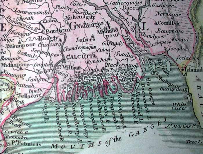
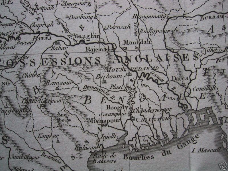
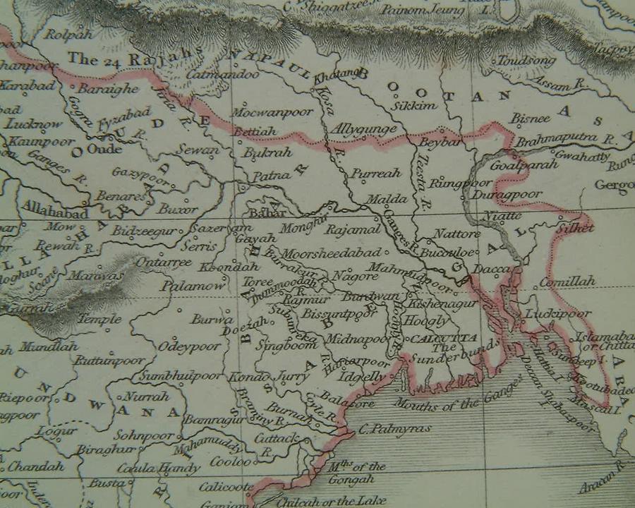
From a map by George Ramsay & Co, Edinburgh, 1814
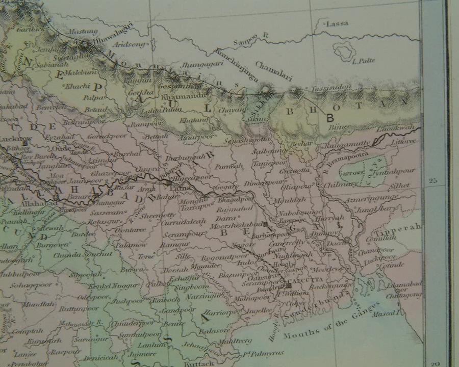
From a map by John Thomson, "A New General Atlas of the World" (W. & D. Lizars, Edinburgh, 1817)
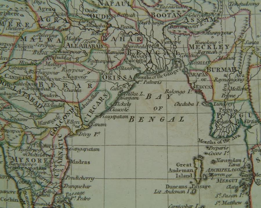
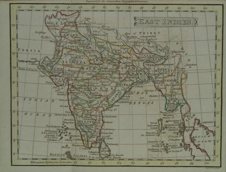
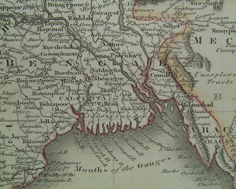
*From a map by J. Smith, An Atlas to Guthrie's Geographical Grammar (J. Mawman, London, 1819)*
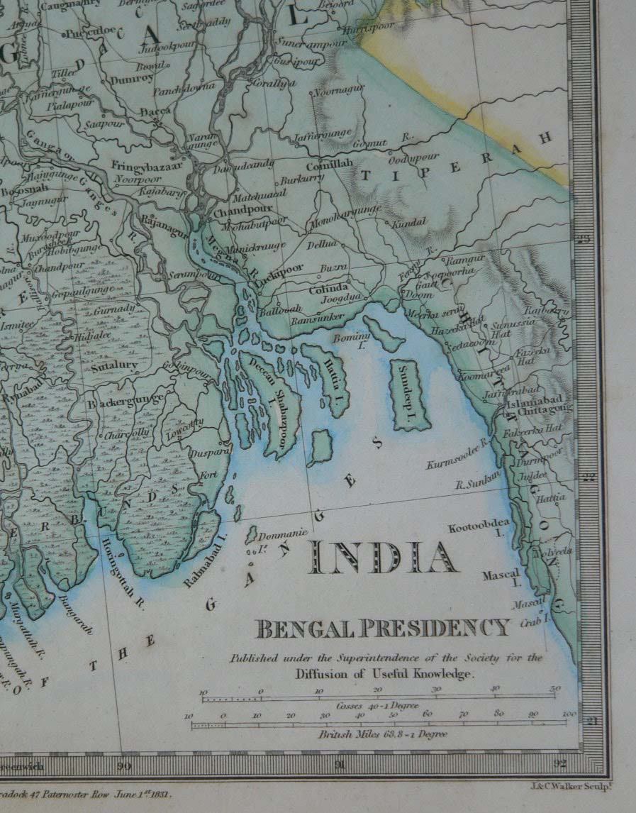
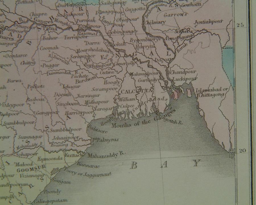
*From a map by SDUK (Society for the Diffusion of Useful Knowledge), 1832*
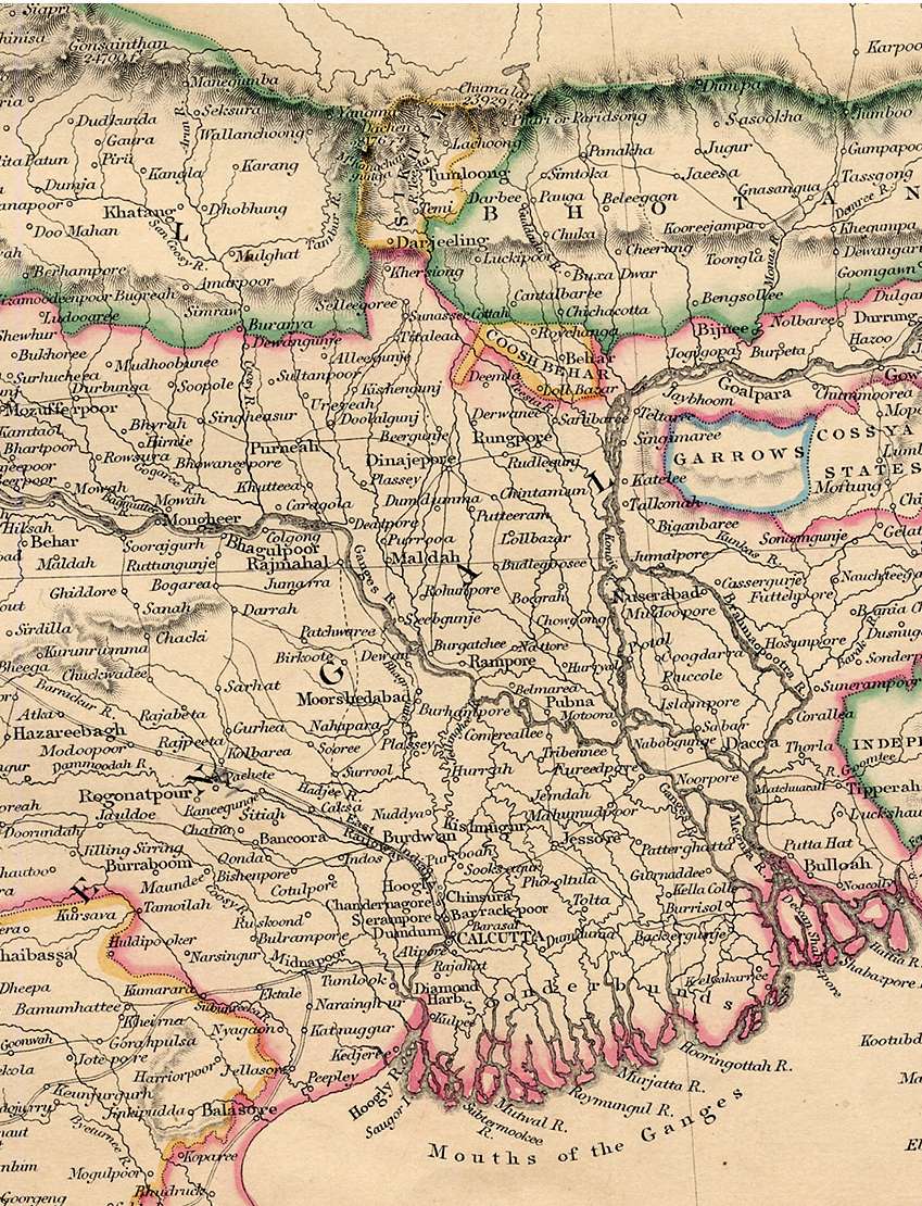
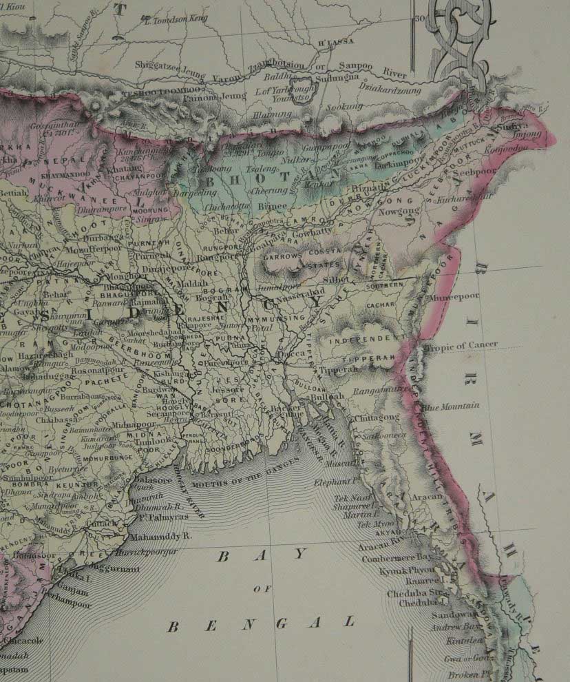
*From "Lowry's Table Atlas" by J.W. Lowry (Chapman & Hall, London, 1850)*
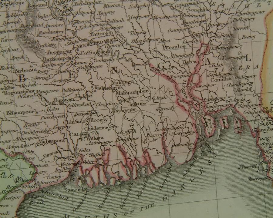
*From a map by Sidney Hall, from General Atlas of The World (Adam & Charles Black, Edinburgh, 1854)*
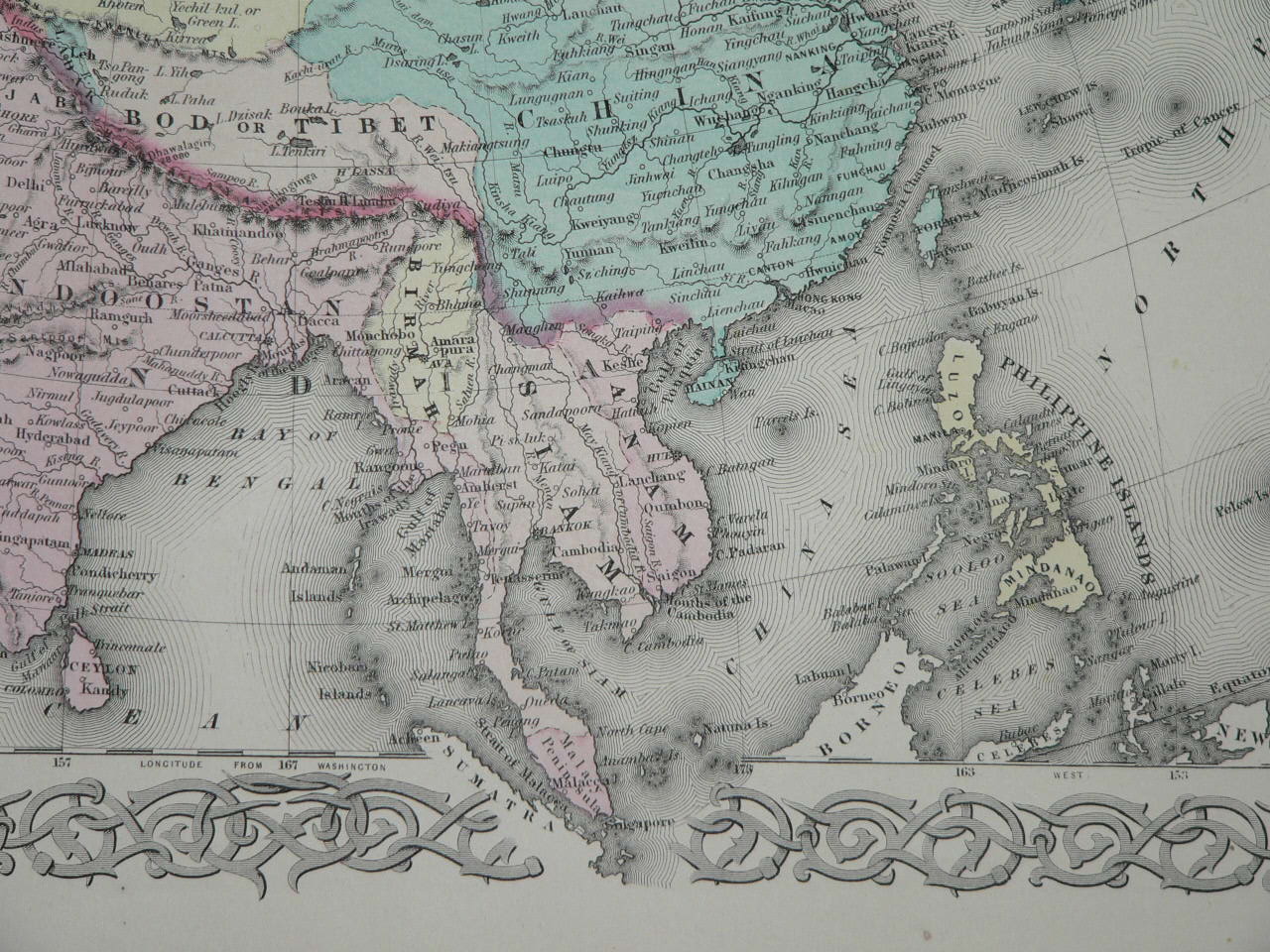
From Colton's Atlas of the World, 1856: *one map*; *another map*

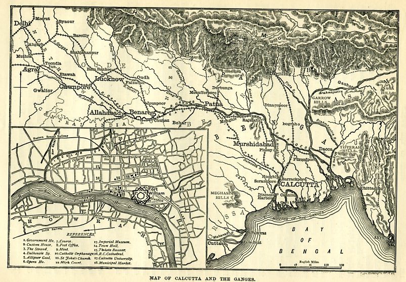
*A map of the Ganges from Delhi onwards, with an inset Calcutta map, late 1900's*
*MAPS c.1500-1750* -- *MAPS c.1750-1900* -- *MAPS*
FOR MAP SOURCES see *the honor roll of map dealers*
== Indian Routes index == Indian Routes sitemap == Glossary == FWP's main page ==