From "Calecut Nuova Tavola" by Girolamo Ruscelli, Venice, 1574
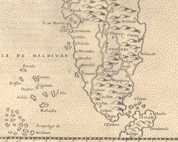
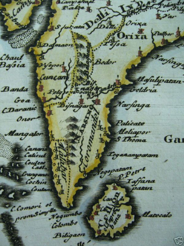
From the 1628 Hondius and Jansson edition of the Mercator atlas
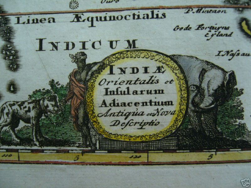
*From a map by Cluver, c.1690*; *the whole map*; *the cartouche*
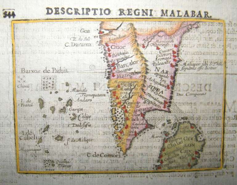
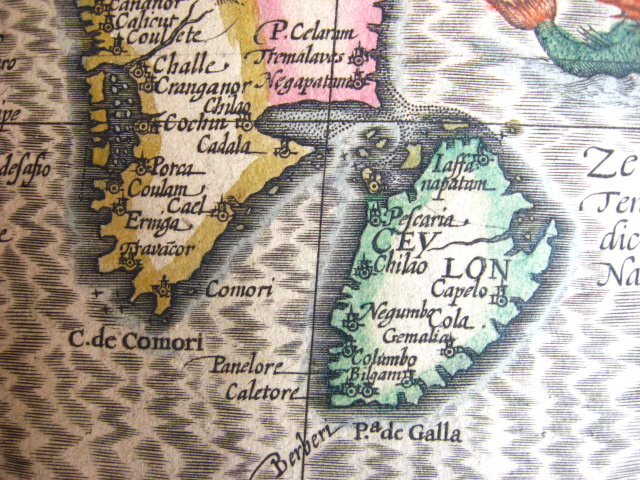
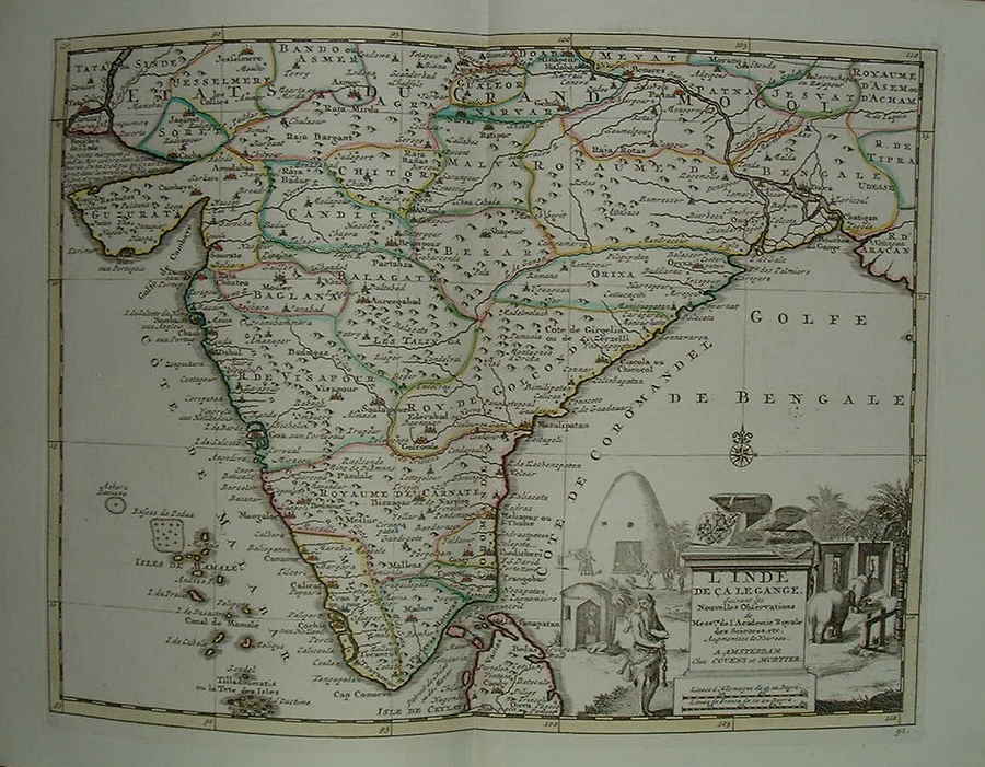
From Pieter Vander Aa's 'Nouvel Atlas', Amsterdam, 1730; *the whole map*
From a map by Guillaume de l'Isle, Amsterdam, 1733
From a map by Hermann Moll, from "Modern History: or, the Present State of all Nations", by Thomas Salmon; London, Bettesworth & Hitch, 1739
*From a map by Isaac Tirion from "Nieuwe en Beknopte Hand-Atlas," Amsterdam, 1744*
*From a map by John Cowley, London, 1753*
From a map by Kitchin, 1761, from 'A New General and Universal Atlas' by Andrew Dury (Laurie & Whittle and Bowles & Carver, London)
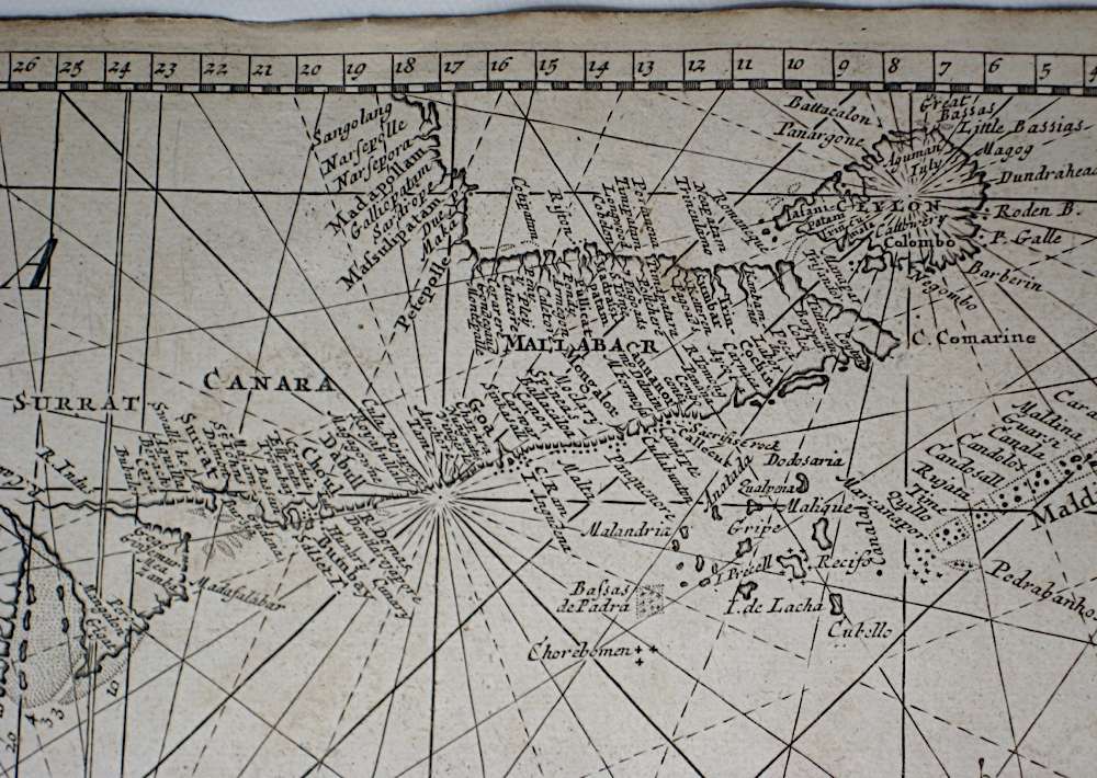
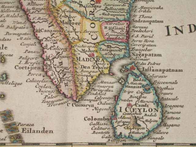
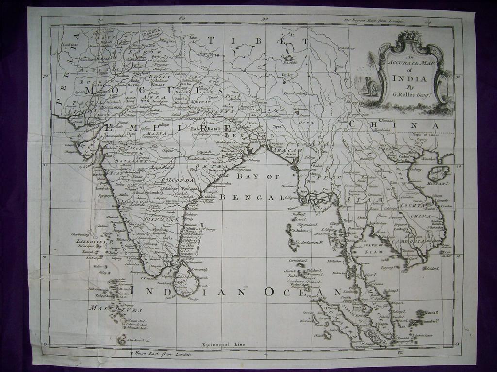
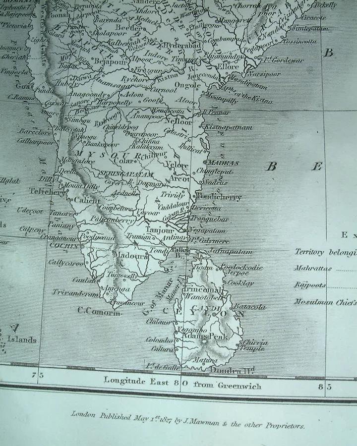
*From a map by G. Rollos, from 'Mortimer's Atlas of Trade and Commerce', 1767*; *the whole map*
From a Dutch version of Isaak Tirion's 'Hand Atlas', Amsterdam, 1769 (with modern hand coloring)
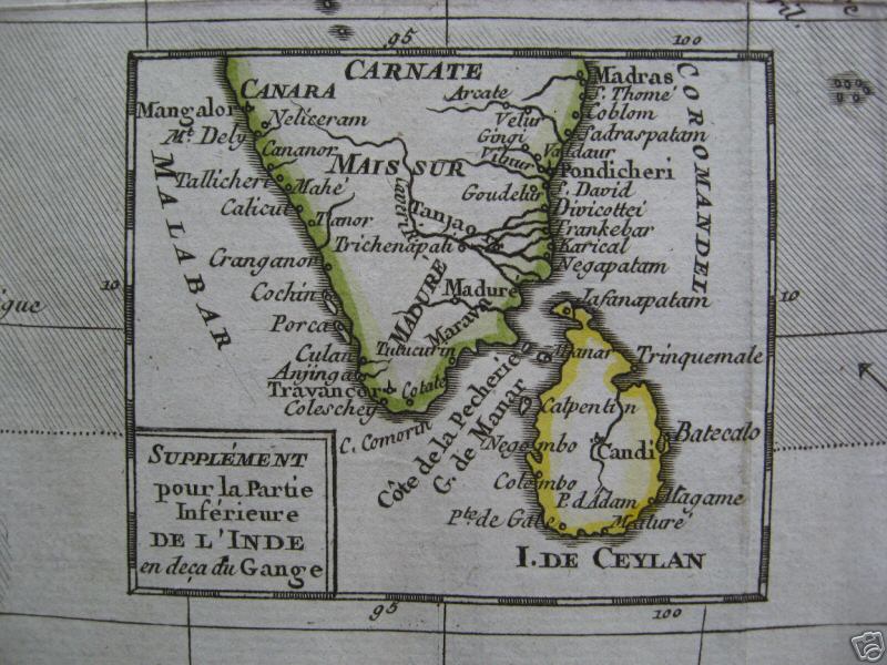
*From Bonne's 'Atlas Portatif' (Paris, 1780-81)*; *a more compressed Bonne map, from 1774*
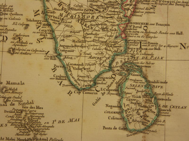
*From a map by Robert de Vaugondy (1688-1766), published in 1783*
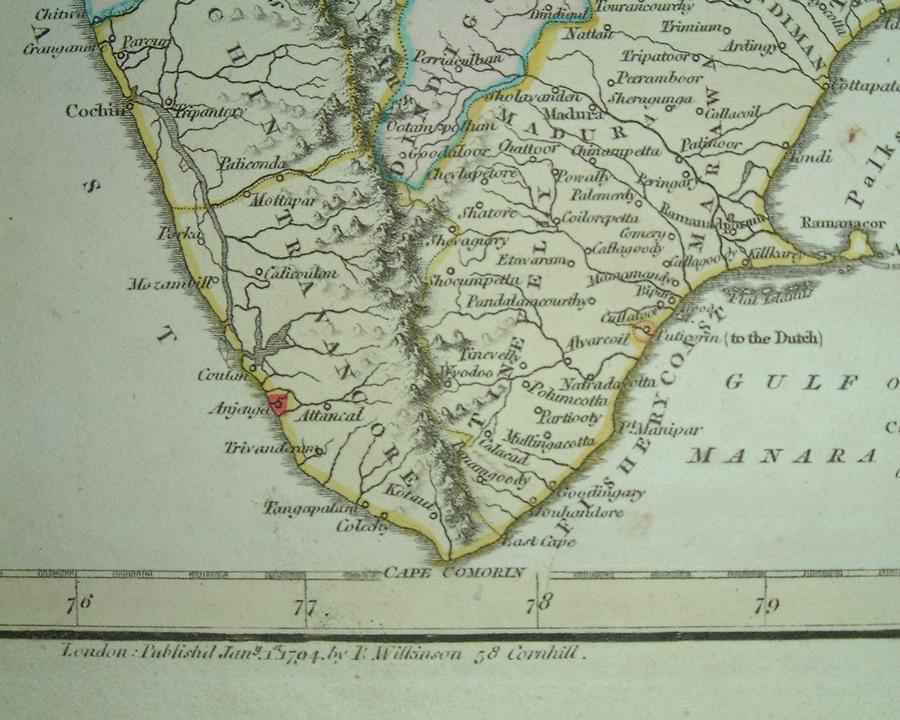
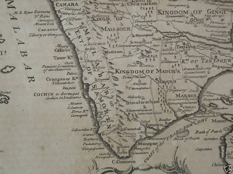
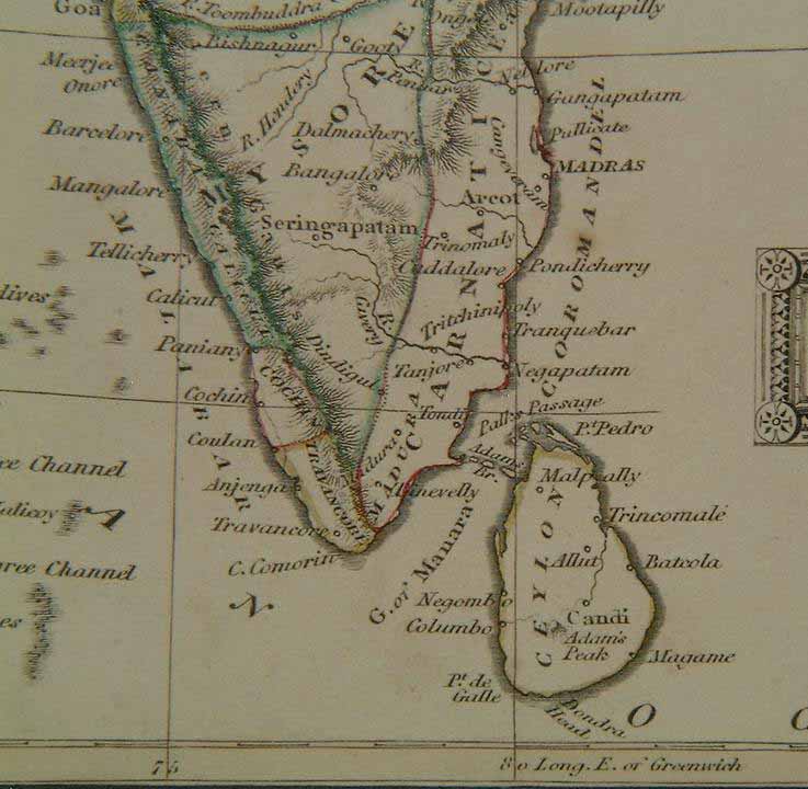
From a map by Robert Wilkinson, London, 1794

From a map by John Russell, published by Ogilvy & Son, London, 1798
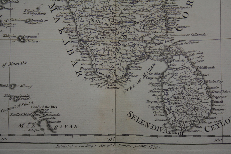
*From a map by Aaron Arrowsmith, 1802, from John Pinkerton's 'Modern Geography', London*
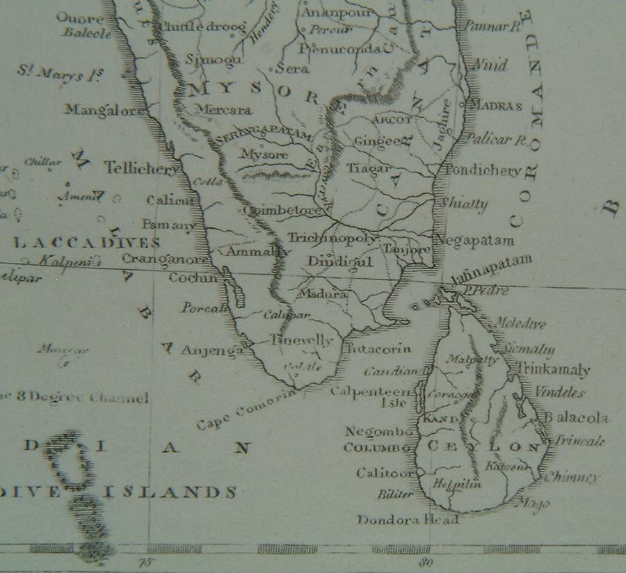
*From a map by Samuel John Neele (1758-1824), published by Longman & Co., London, 1808*
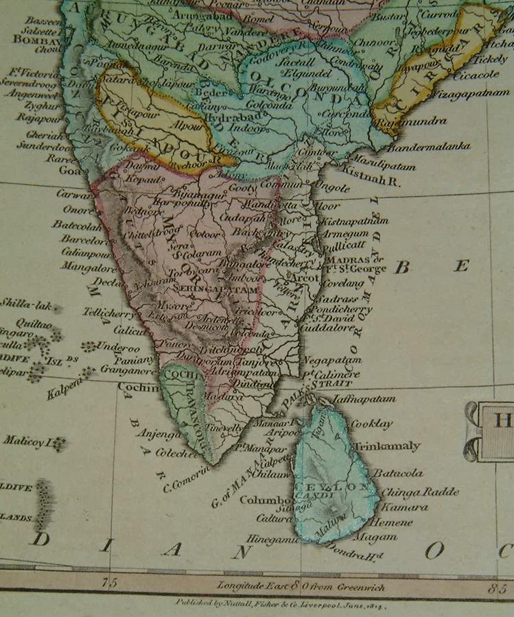
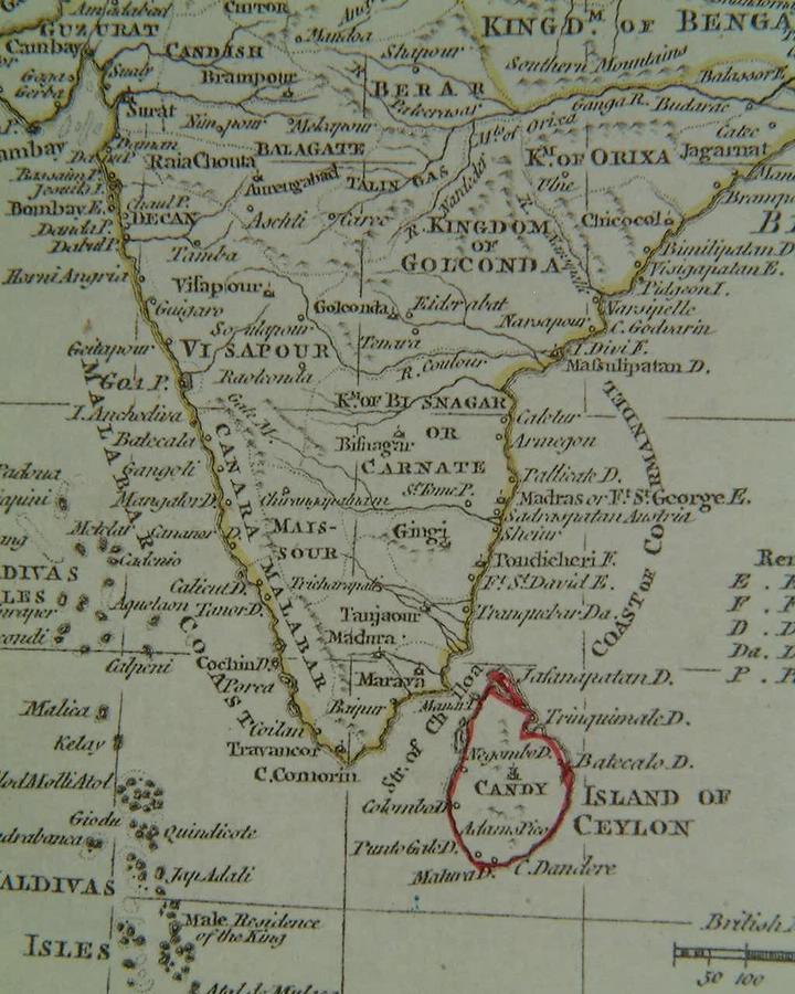
From a map by John Russell, Liverpool, 1814
*From a map by W. and D. Lizars, from 'Ewing's New General Atlas' (Oliver & Boyd, Edinburgh, 1826)*
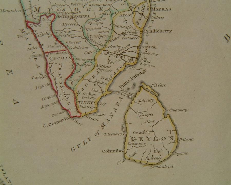
*From a map by J. Neele in 'Guthrie's Atlas' (J. Mawman, London, 1827)*
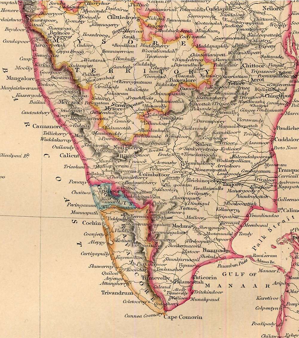
*From a map by R. Scott (Archibald Fullarton & Co., Glasgow, 1844)*
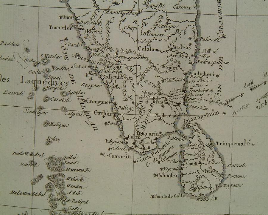
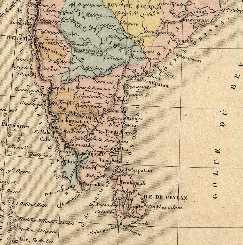
*From a map by Alexandre Veuillemin, 1852*
*From James Wyld's 'Atlas of the World;, 1853*
*From J. H. Colton's 'Atlas of the World', 1856*
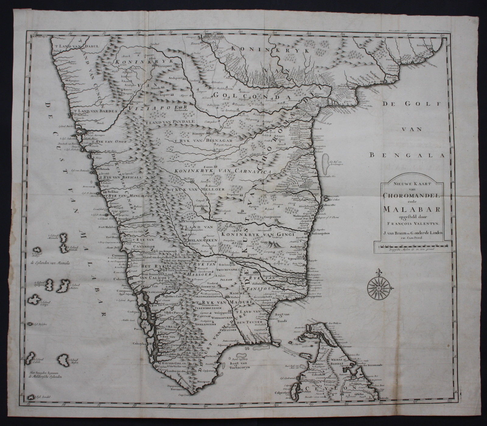
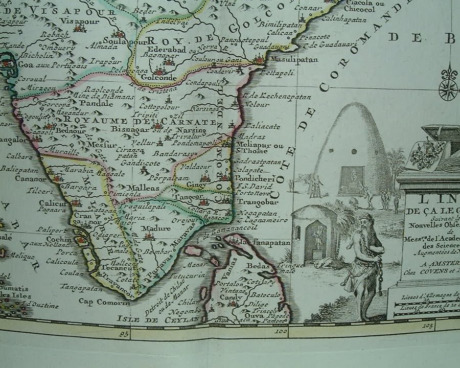
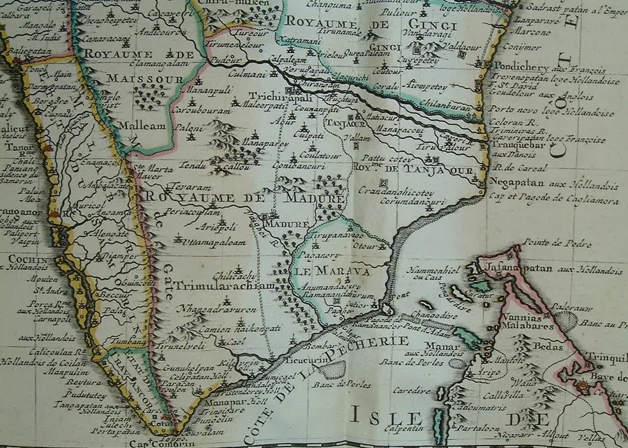
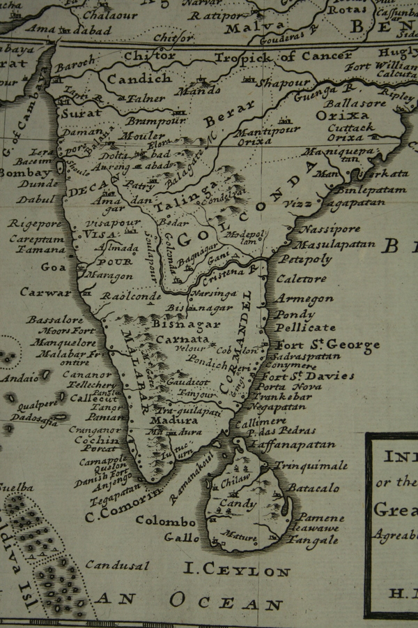
*MAPS c.1500-1750* -- *MAPS c.1750-1900* -- *MAPS*