
From a map by Guillaume de l'Isle, Paris, 1723
Source: ebay, May 2007
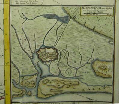
A plan of the fort, from a map by P. Croisey, Paris, 1770
Source: ebay, Dec. 2007
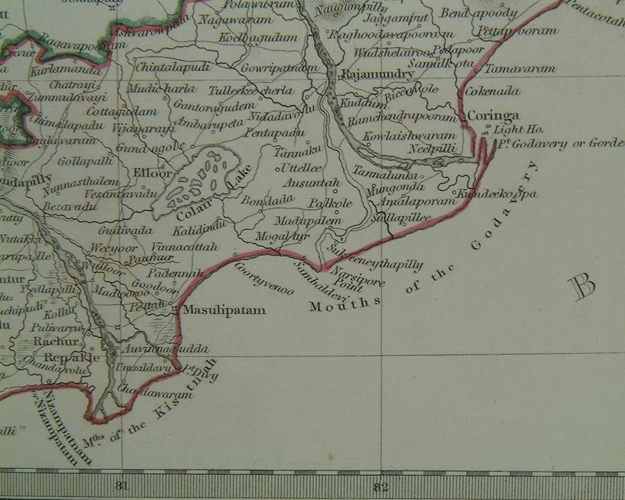
A look at the port's location, between the mouths of two major rivers (from a map by SDUK, 1844)
Source: ebay, Aug. 2006
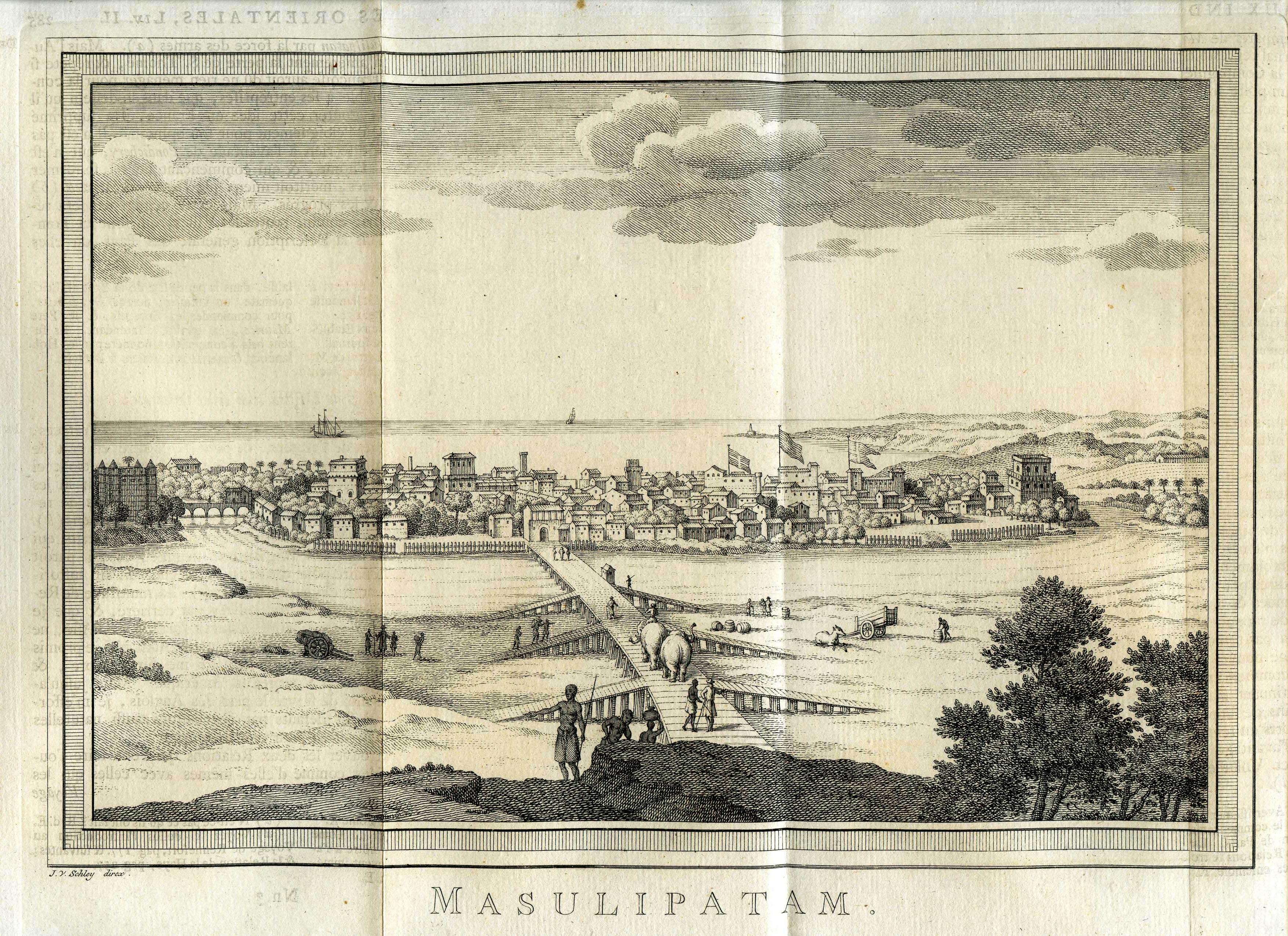
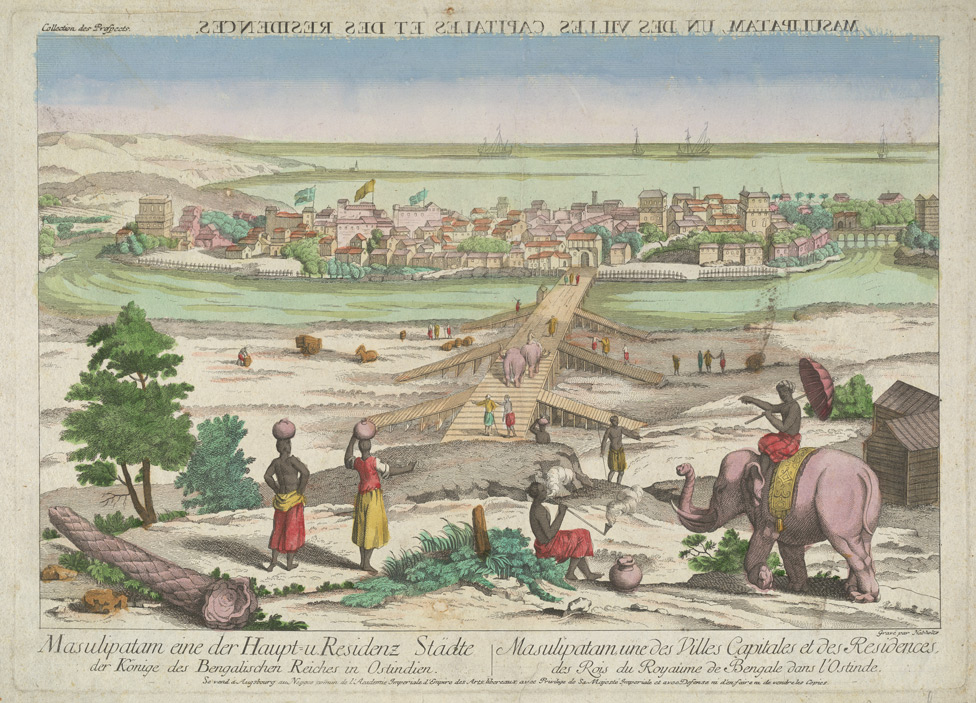
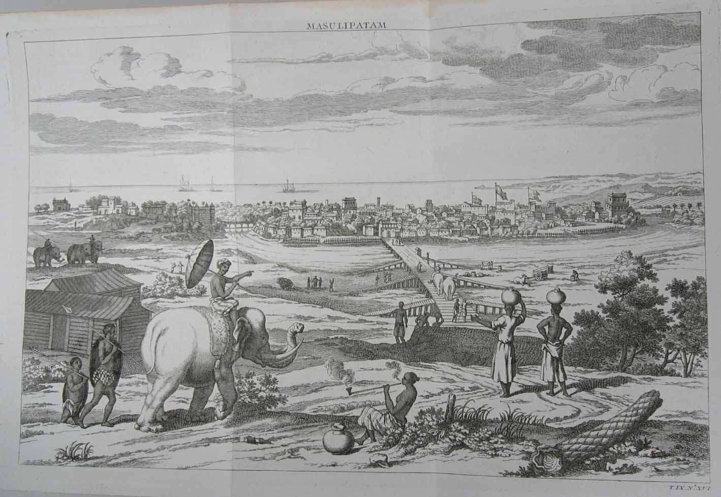
A view by Bellin from *PREVOST*,
1752;
click on the image for a very large scan
Source: ebay, July 2008
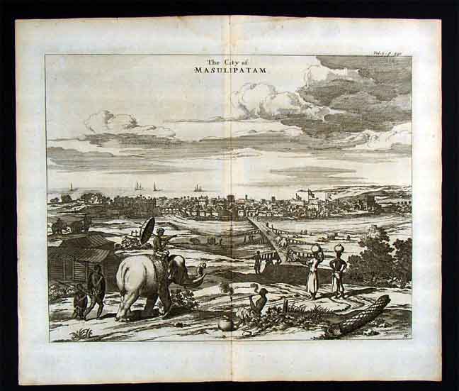
From Philip Baldaeus, 'A True and Exact Description of the most Celebrated East-India Coasts of Malabar and Coromandel; as also of the Isle of Ceylon' (London 1752); *a closer view, from a later edition*
Source: ebay, Jan. 2007
== Indian Routes index == Indian Routes sitemap == Glossary == FWP's main page ==