*"Calecut Nuova Tavola" by Girolamo Ruscelli, Venice, 1574*
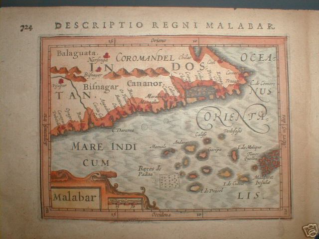
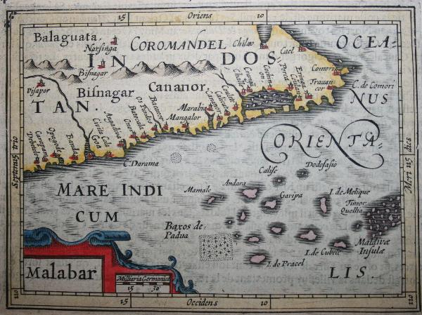
A horizontal Malabar Coast miniature map by Abraham Ortelius, Antwerp, c.1580, from the Epitome Theatri Orteliani; *a reprint by Petrus Bertius, 1630*; and *another Bertius version*, Amsterdam, c.1600-18
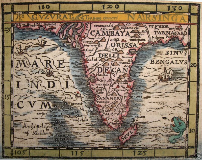
*"Guzurat Narsinga," 1588 (with modern hand coloring)*; by *MUNSTER*
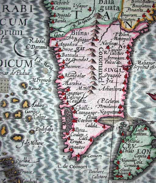
From Ortelius's "Theatrum Orbis Terrarum," Latin edition of 1603 (with later hand coloring)
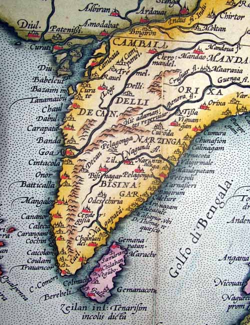
From Mercator's "India Orientalis," Amsterdam, 1636 [engraved 1606]

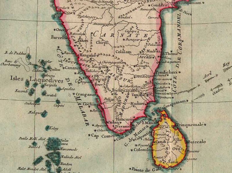
A miniature map from Pierre Duval's "Geographiae Universalis," 1679 (with modern hand coloring)
*From a map of the Malabar and Coromandel Coasts by Guillaume de l'Isle, Amsterdam, 1733*

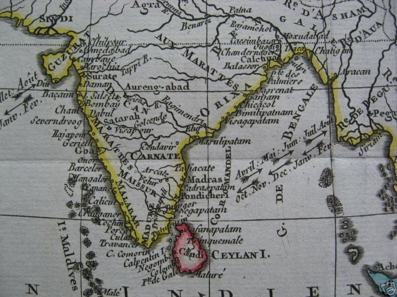
From a map by Bellin, 1740, with original hand coloring
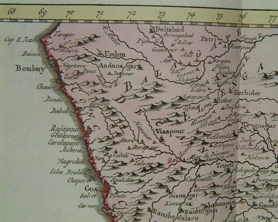
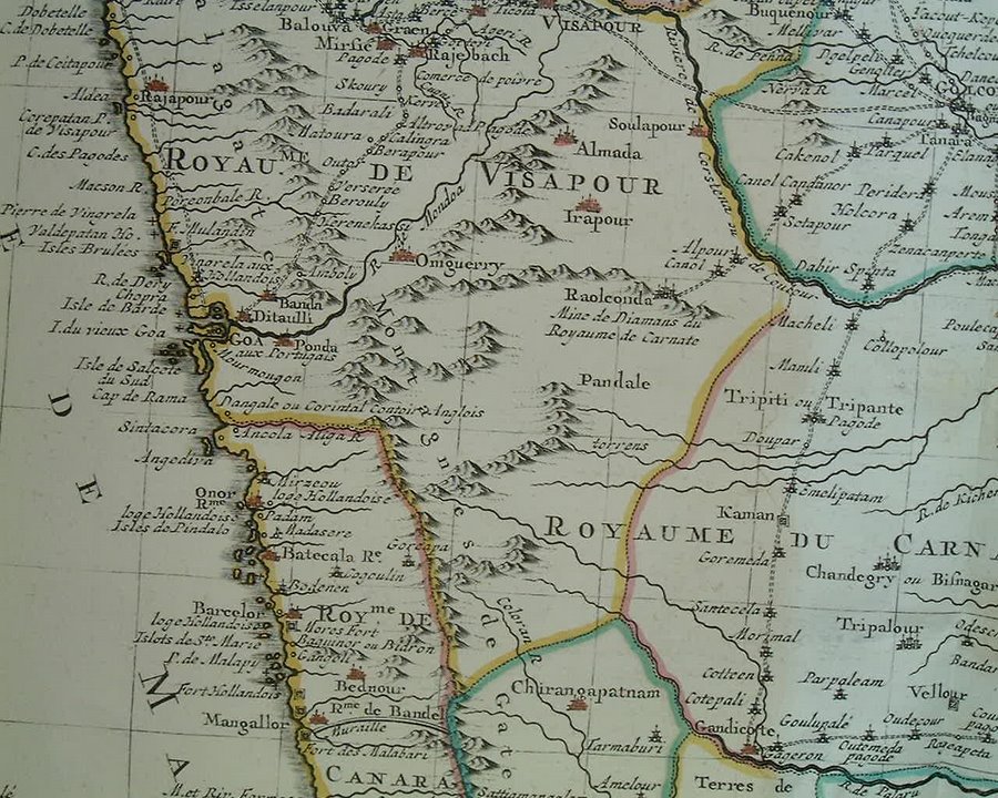
From a map by Bellin, 1752, with original hand-coloring: a detailed look at the area between Bombay and Goa

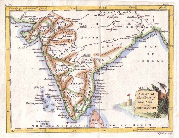
From a map by Kitchin, 1761, from A New General and Universal Atlas by Andrew Dury (Laurie & Whittle and Bowles & Carver, London)
*A miniature map by Thomas Jeffreys from Smollett's 'Voyages' (London, 1762)*
The lower portion of the Malabar Coast, from Bonne's "Atlas Portatif" (Paris, 1780-81)

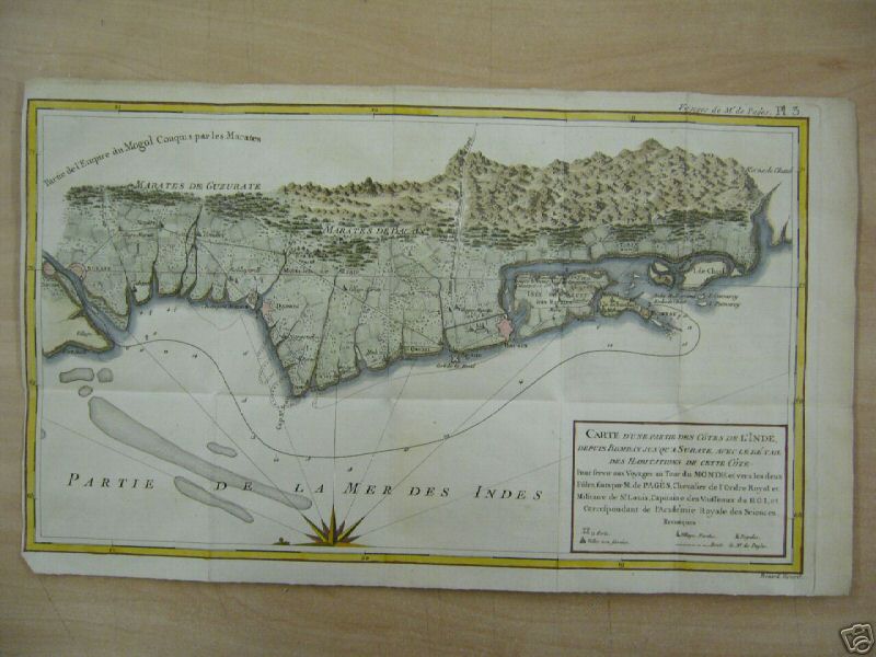
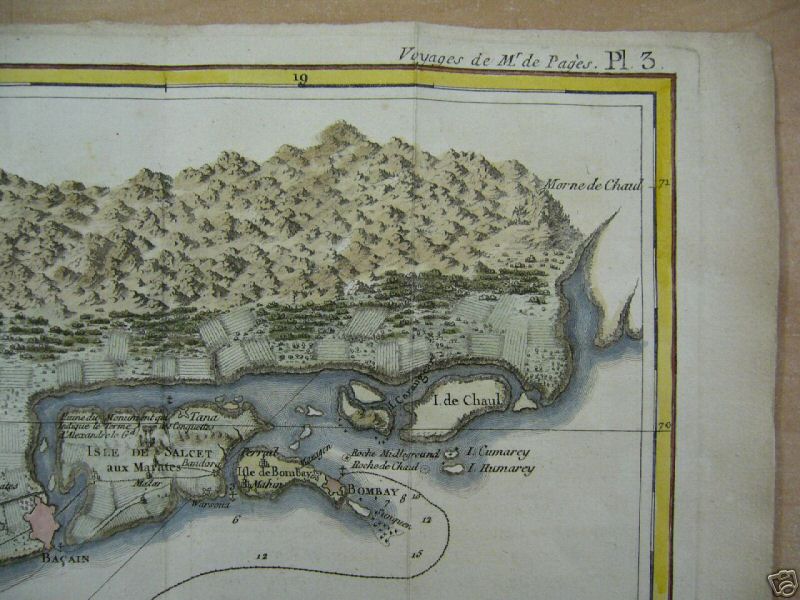
A Surat-to-Bombay map by Benard, from Pierre de Pagès' 'Voyages Autour Du Monde', Paris, 1782:*the whole map*: *the Surat to Daman region*; *an overview of the Surat to Daman region*; *the Daman to Bassein region*; *the Bombay region* (shown above); *an overview of the Bombay region*; *the cartouche*
*The upper portion of the Malabar Coast, by Bonne (Atlas Encyclopedique, Paris, 1787)*
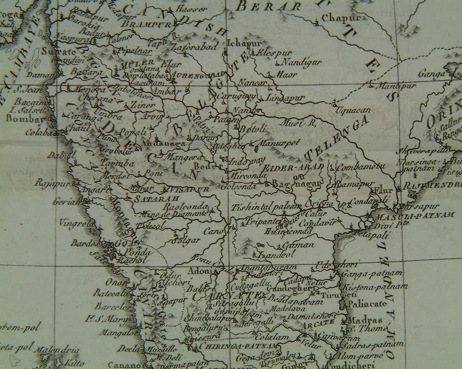
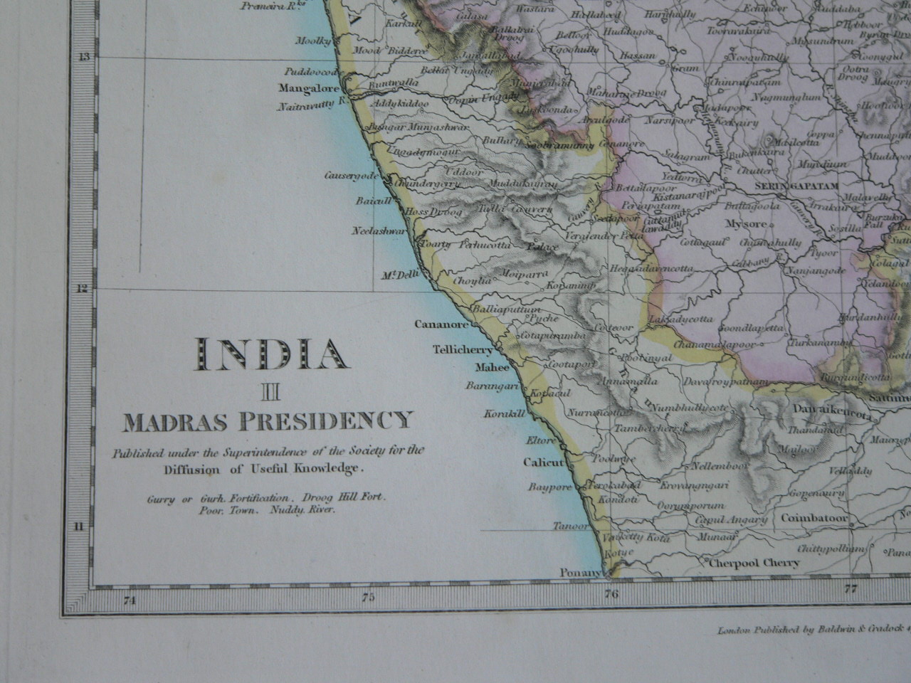
*A closeup of the area from Mangalore to Calicut, from a map by SDUK, 1831 (India II)*
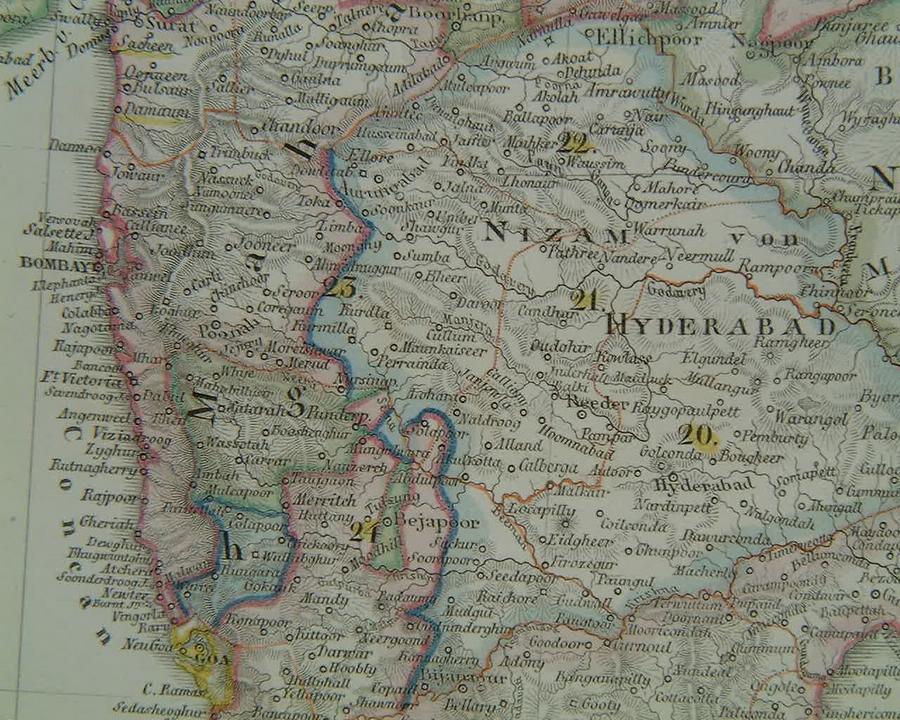
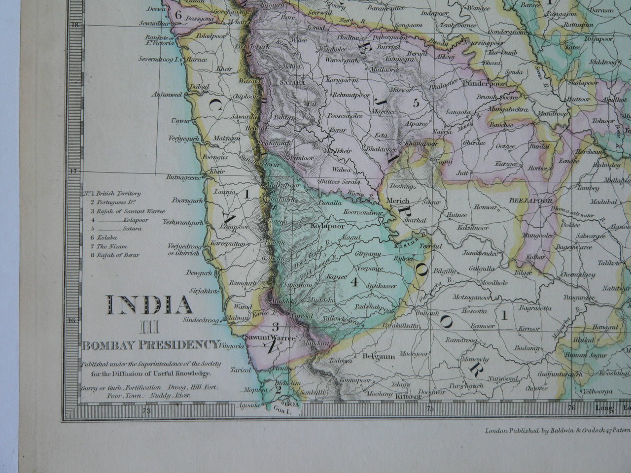
*A closeup of the "Pirate Coast" area north of Goa, from a map by SDUK, 1832 (India III)*
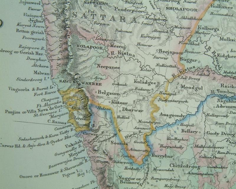
*A closeup of the area around Goa, from an 1855 atlas map by G. H. Swanston (A Fullarton, Edinburgh)*
*MAPS c.1500-1750* -- *MAPS c.1750-1900* -- *MAPS*
== Indian Routes index == Indian Routes sitemap == Glossary == FWP's main page ==