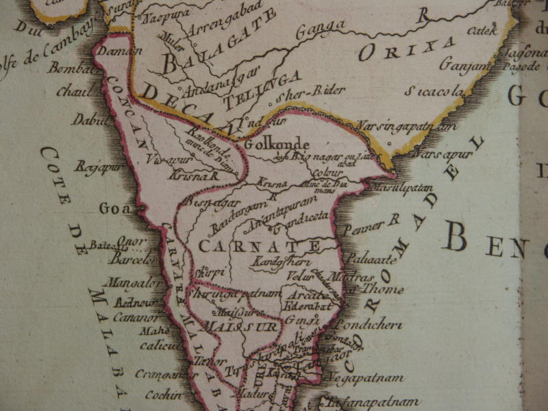
From a French map, 1750 (not Bellin, source information not available)
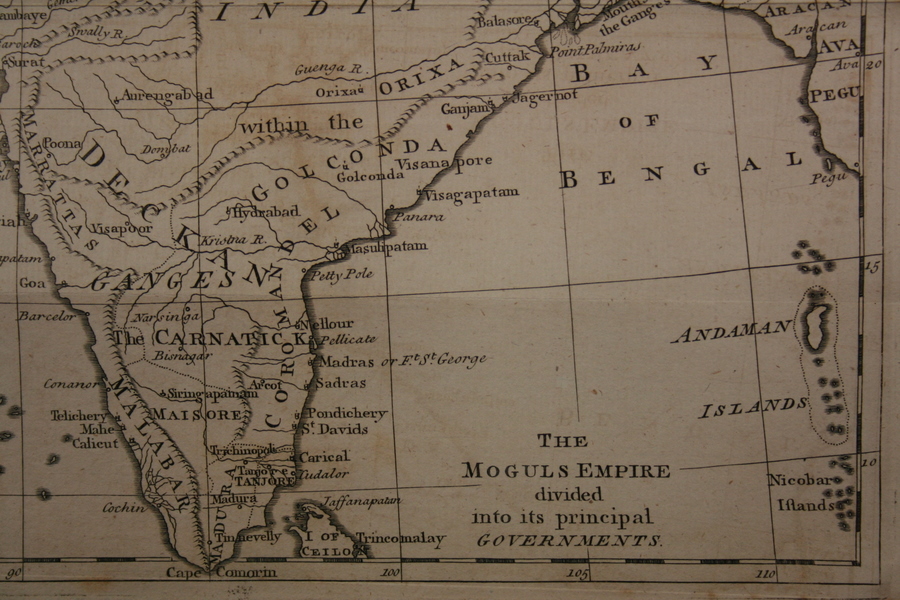
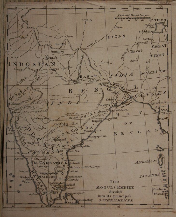
From the 'The Gentleman's Magazine: or, monthly intelligencer' by Sylvanus Urban, published by Edward Cave, London, 1767; *the whole map*
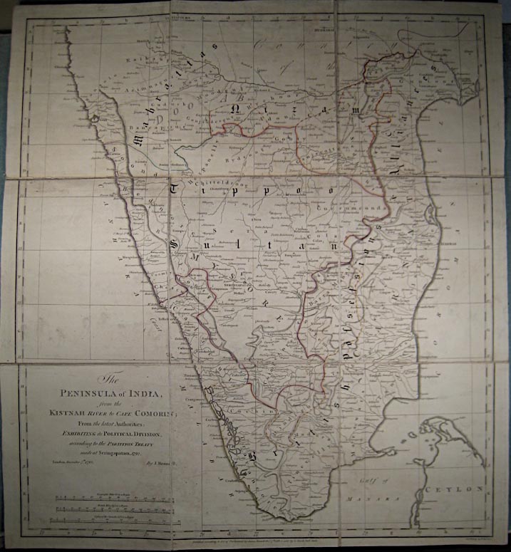

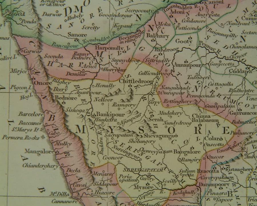
From 'A General Atlas Being a Collection of Maps of The World and Quarters, the Principal Empires & Kingdoms', by Robert Wilkinson, London, 1808
*MAPS c.1500-1750* -- *MAPS c.1750-1900* -- *MAPS*
== Indian Routes index == Indian Routes sitemap == Glossary == FWP's main page ==