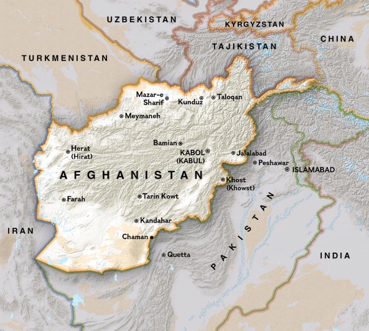
A political map of Afghanistan-- the Khyber Pass is between Kabul and Peshawar
Source: http://www.nationalgeographic.com/landincrisis/political_enlarge.html
(downloaded Nov. 2001)
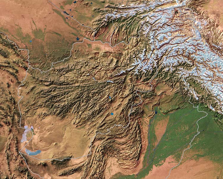
A modern satellite view of Afghanistan and northern Pakistan
Source: http://www.nationalgeographic.com/landincrisis/satellite_enlarge.html
(downloaded Nov. 2001)
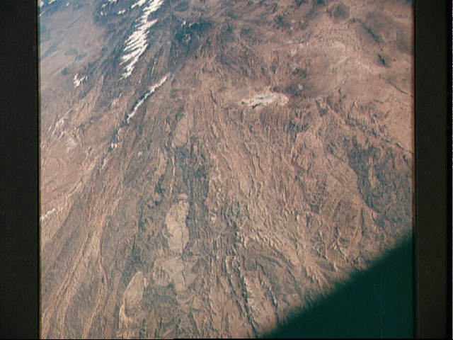
Kabul from above looks like a small round circle of sand in a little bowl
Source: http://www.jsc.nasa.gov/pao/asiapac/afghan.html
(downloaded June 2001)
Apollo 7--"Kabul, Afghanistan." Photo ID: AS07-05-1667
"Kabul, Afghanistan area as seen from the Apollo 7 spacecraft during its 39th revolution of the earth. Photographed from an altitude of 127 nautical miles, at ground elapsed time of 61 hours and 20 minutes. Also, visible in picture are the Panjshir River and the Koh-i-Baba Mountains."
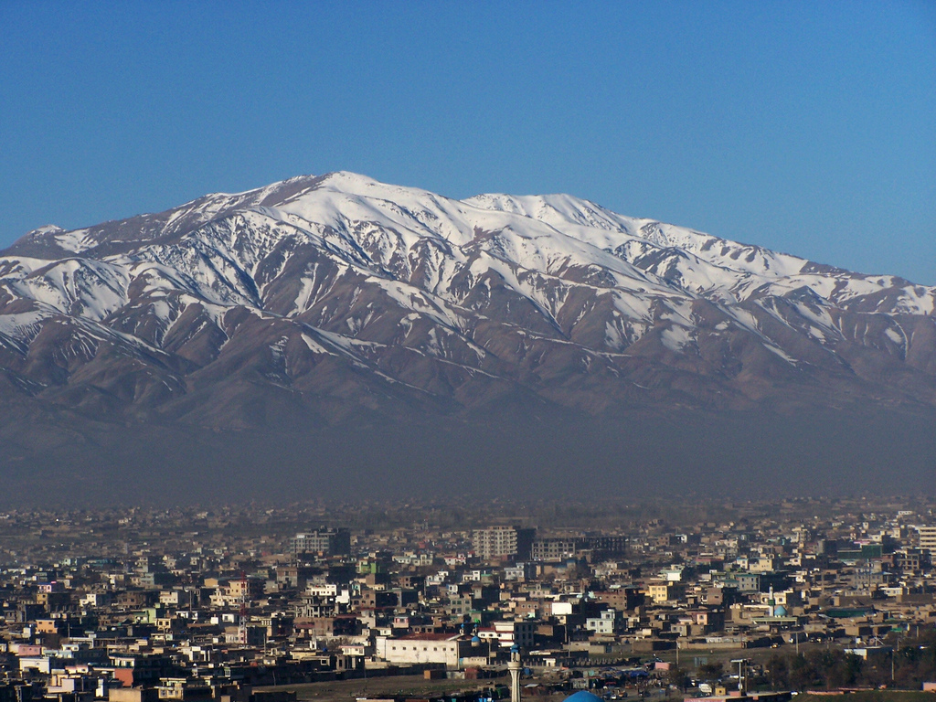
Kabul and some of its surrounding mountains
Source: http://upload.wikimedia.org/wikipedia/commons/e/ea/Mountains_of_Kabul.jpg
(downloaded Jan. 2008)
== Indian Routes index == Indian Routes sitemap == Glossary == FWP's main page ==