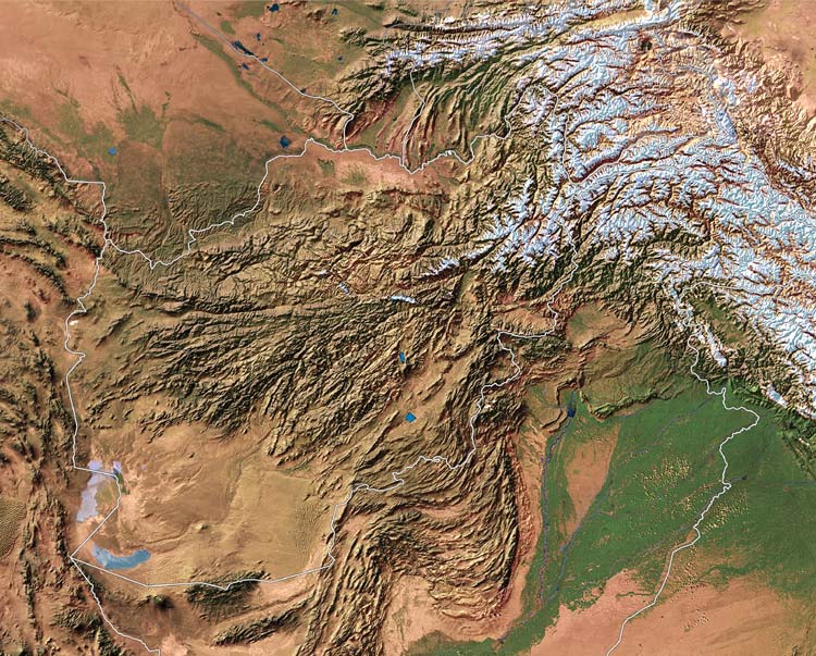
In this satellite view of Afghanistan and the northern Punjab, you can actually see the famous *Khyber Pass*
Source:
http://www.nationalgeographic.com/landincrisis/satellite_enlarge.html
(downloaded Nov. 2001)
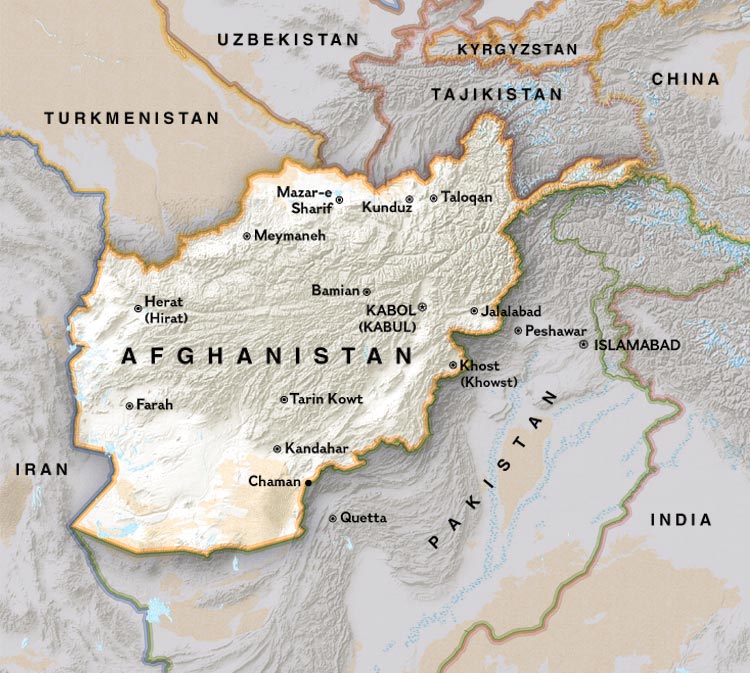
A political map of Afghanistan and Pakistan-- the Khyber Pass is between Kabul and Peshawar
Source:
http://www.nationalgeographic.com/landincrisis/political_enlarge.html
(downloaded Nov. 2001)
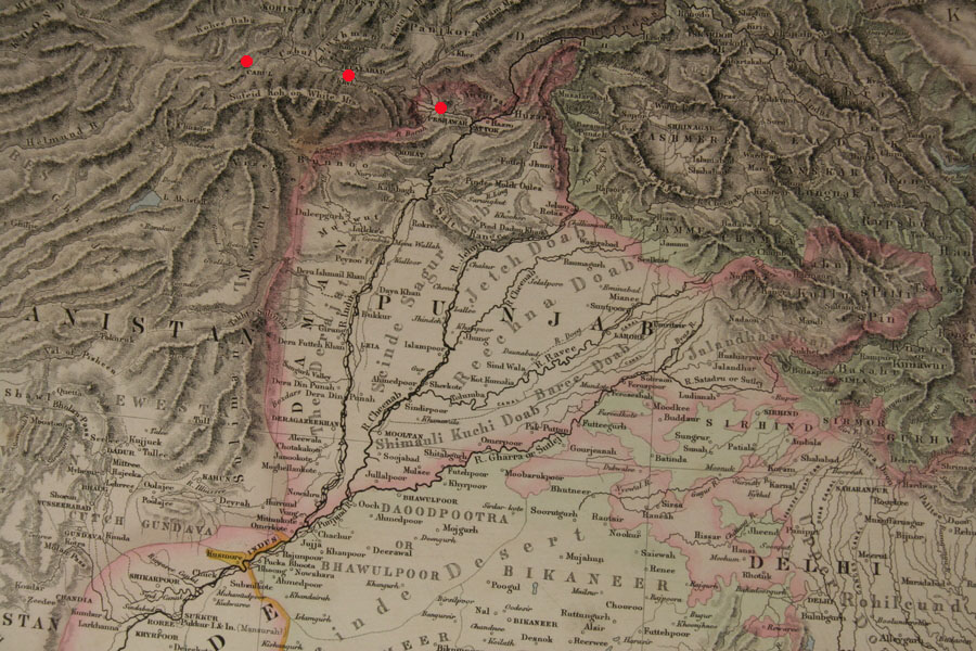
Source: ebay, Nov. 2007
== Indian Routes index == Indian Routes sitemap == Glossary == FWP's main page ==