
Columbia Library columns (v.32(1982Nov-1983May))
(New York : Friends of the Columbia Libraries. )
|
||

 Click here and hold to drag menu around
|


|
|
|
|
| v.32,no.2(1983:Feb): Page 29 |
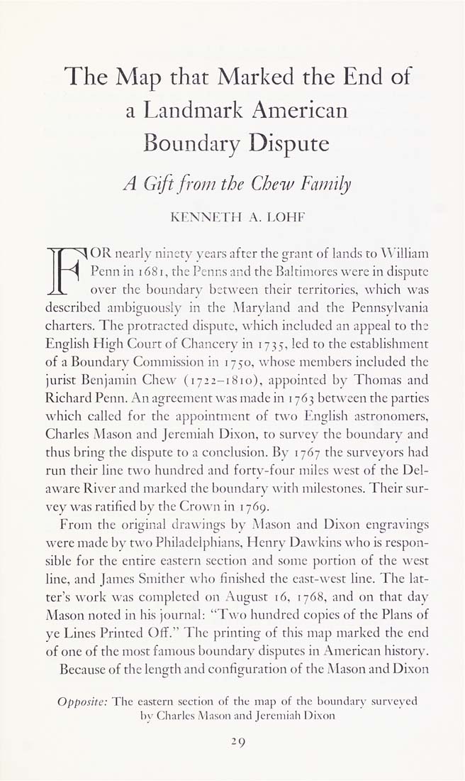
The Map that Marked the End of a Landmark American Boundary Dispute A Gift from the Chew Family KF.NNF.rH A. LOHF F^OR nearly ninety years after the grant of lands to A\'illiam Penn in 1681, the Pcnns and the Baltimores were in dispute over the boundarv between their territories, which was described ambiguously in the Maryland and the Pennsylvania charters. The protracted dispute, which included an appeal to the English High Court of Chancery in 1735, led to the establishment of a Boundary Commission in 1750, whose members included the jurist Benjamin Chew (1722-1810), appointed by Thomas and Richard Penn. An agreement was made in 1763 between the parties which called for the appointment of t\\() F.nglish astronomers, Charles .Mason and Jeremiah Dixon, to survey the boundary and thus bring the dispute to a conclusion. By 1767 the surveyors had run their line two hundred and forty-four miles west of the Del¬ aware River and marked the boundary with milestones. Their sur¬ vey was ratified bv the (a-o«-n in 1769. From the original draw ings by Mason and Dixon engravings were made by two Philadclphians, Henry Dawkins who is respon¬ sible for the entire eastern section and some portion of the west line, and James Smithcr who finished the east-west line. The hit¬ ter's work was completed on August 16, 1768, and on that day Mason noted in his journal: "Two hundred copies of the Plans of ye Lines Printed Off." The printing of this map marked the end of one of the most famous boundary disputes in American histor\'. Because of the length and configuration of the Mason and Dixon Opposite: The eastern section of the map of the l>ouiidat\" surveyed b\' Charles Mason and Jeremiah Dixon 29 |
| v.32,no.2(1983:Feb): Page 29 |