![]()
Maps by Thomas Kitchin (1718-84), drawn for the London Magazine
![]()
![]()
Maps by Thomas Kitchin (1718-84), drawn for the London Magazine
![]()
| 1740 | *"India as described by all Authors before the fifth Century"* | ||
| 1754 | *"A Map of Coromandel Shewing the Seat of War on that Coast"*, from the London Magazine but with no attribution | ||
| 1757 | *"Northern Coast of Choramandel* | ||
| 1759 | *"A Map of the Country Round Surat and Bombay* | ||
| 1760 | *"A New and Accurate Map of Bengal"* | ||
| c.1760 | *Trichinopoly Fort, and the French attack on it in 1753* | ||
| 1763 | *"The Seat of War on the Coast of Malabar and Coromandel in the Empire of the Great Mogol"* | ||
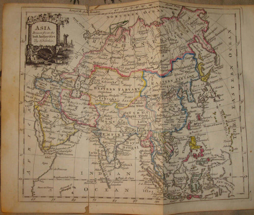
| 1779 | *"Asia"* | ||
| 1781 | *"A Map of the East Indies or Indostan"* | ||
| 1784 | *"Hindustan or East Indies agreeable to the latest Authorities"* (very detailed) | ||
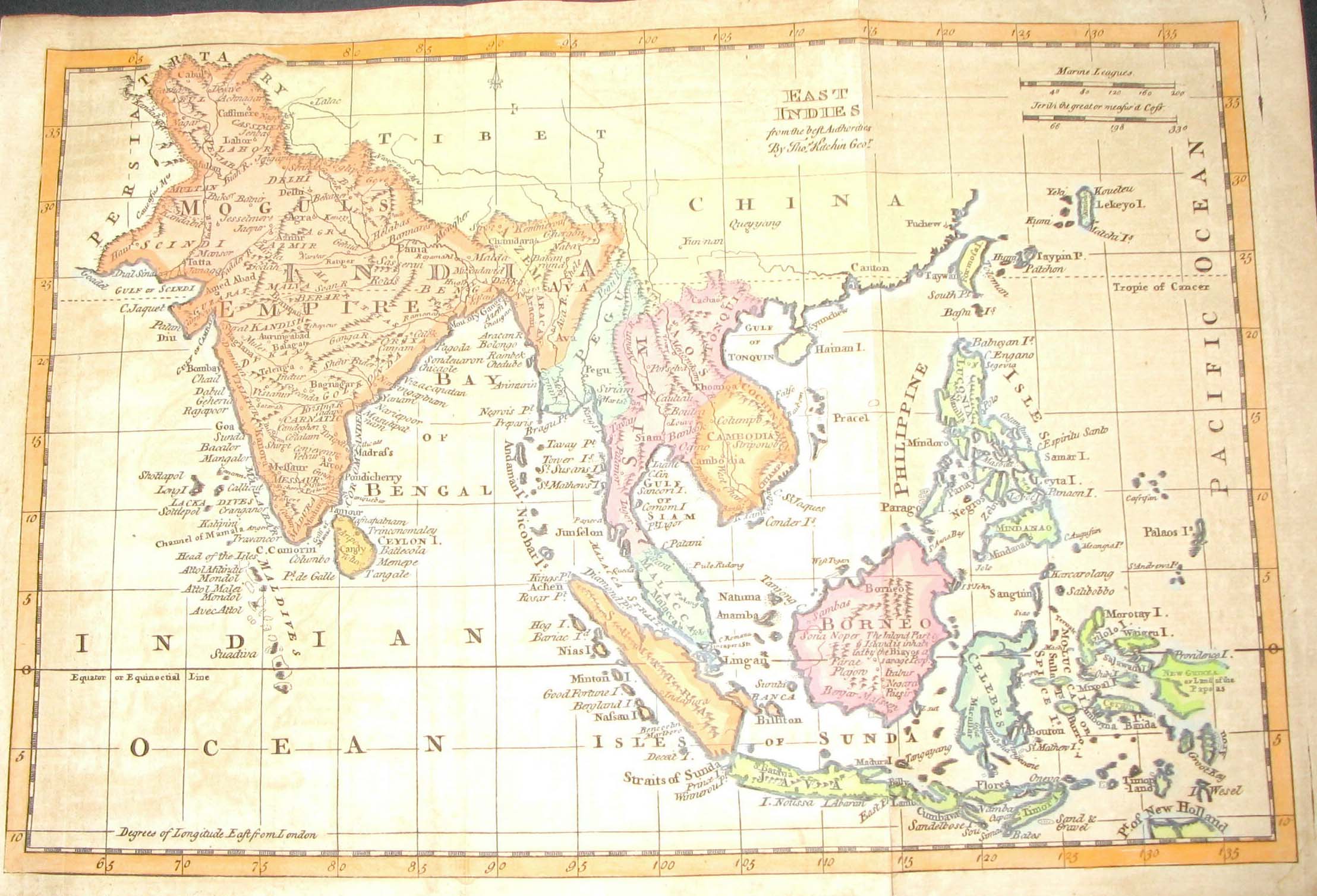
| 1785 | *"East Indies drawn from the best Authorities"* | ||
== Colonial index == Main map index == Glossary == FWP's main page ==