MINIATURE ATLAS MAPS, early 1600's
MINIATURE ATLAS MAPS, early 1600's
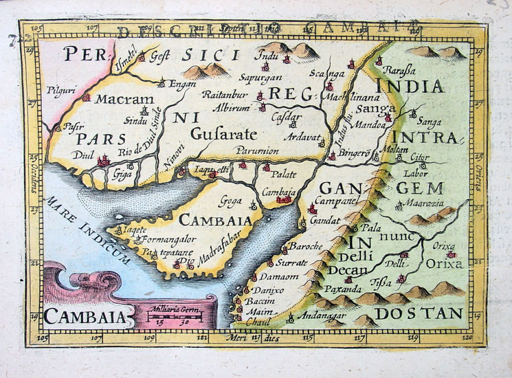
The Indus coast and the Gulf of Cambay, a miniature map by Petrus Bertius, 1600
"Map Title: - Cambaia. Bertius published this map in his 1600
edition
of "Tabularum geographicarum contractarum" (Minature World Atlas). This
atlas was a re-issue of the Caert Thresoor (1598) by Barent Langenes.
Plate
size: - 5 ½in x 4in (140mm x 102mm)."

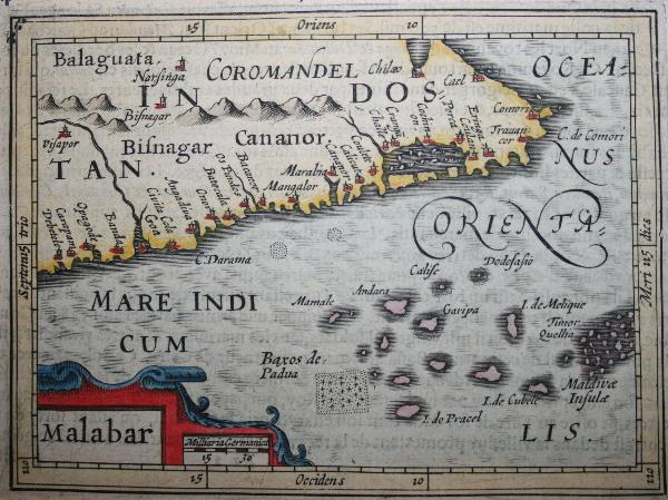
A Bertius map of South India and Sri Lanka from the same series, printed c.1600-1618

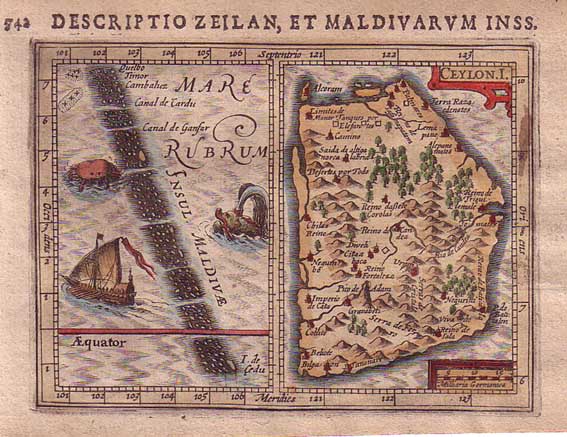
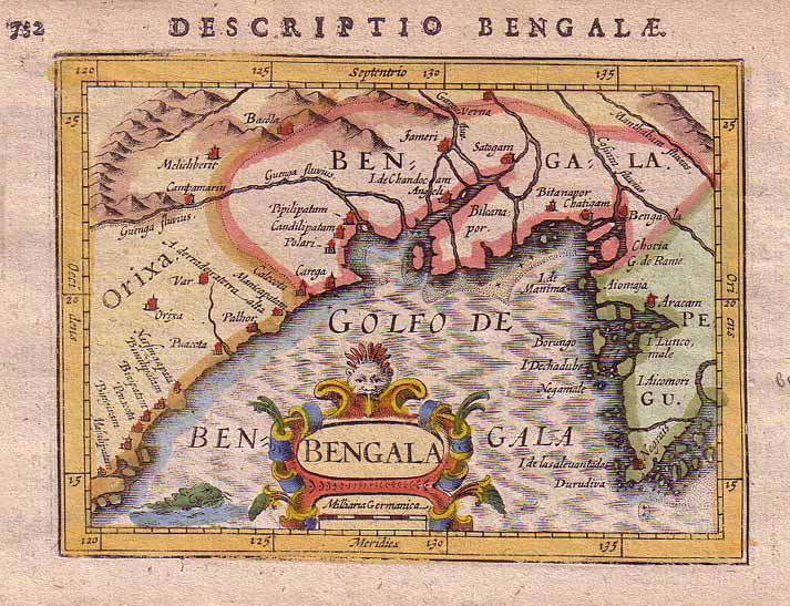
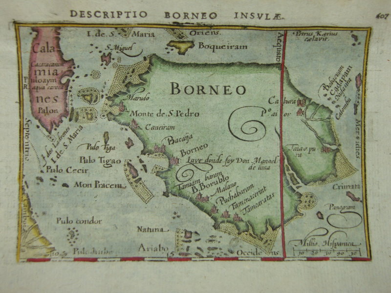
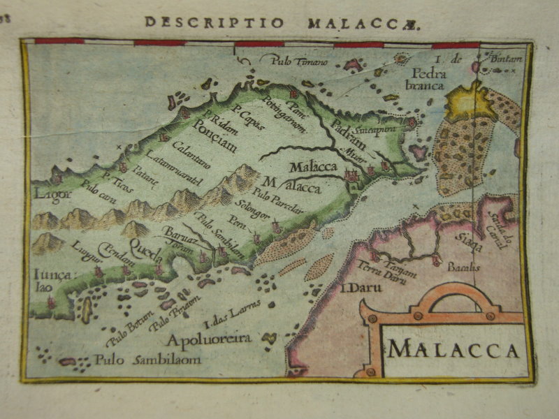
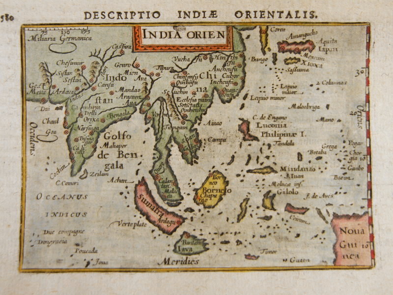
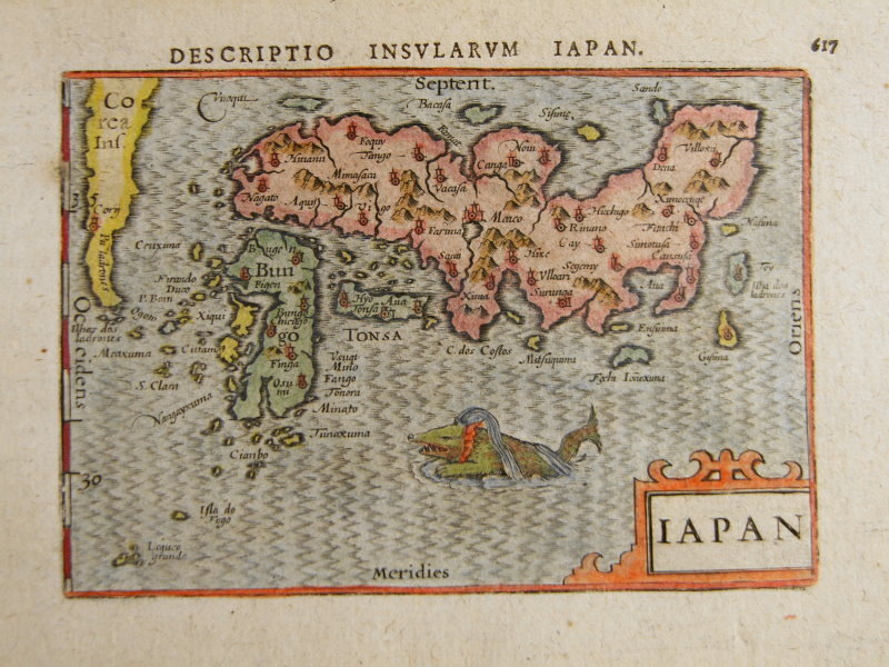
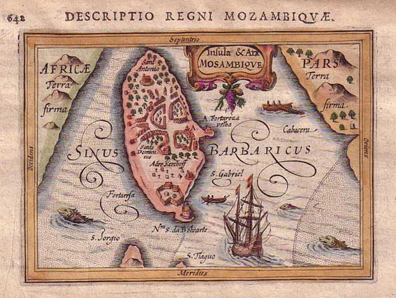
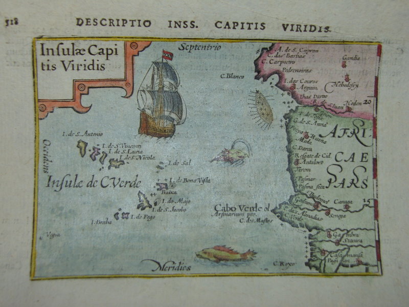
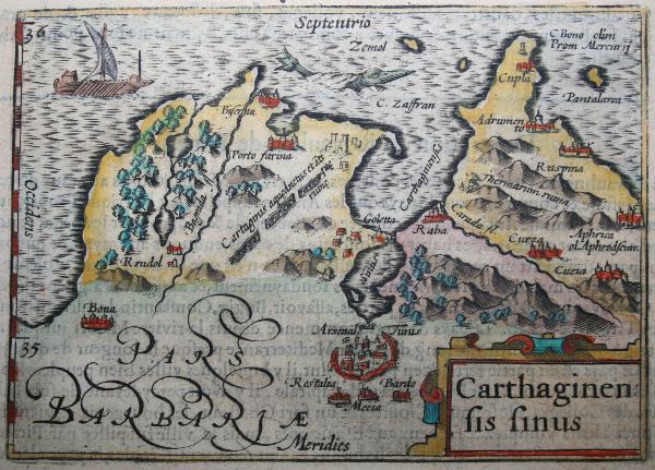
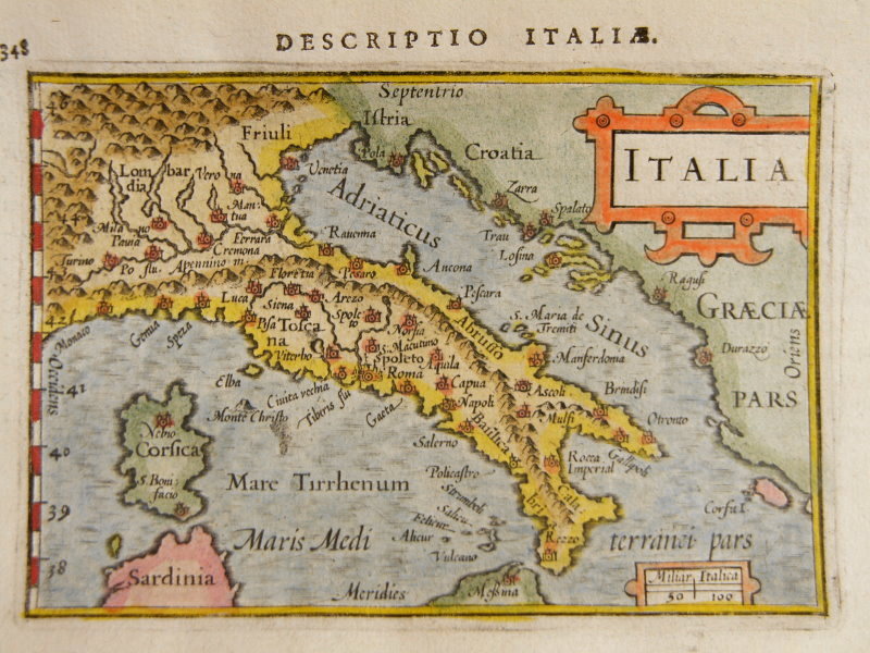
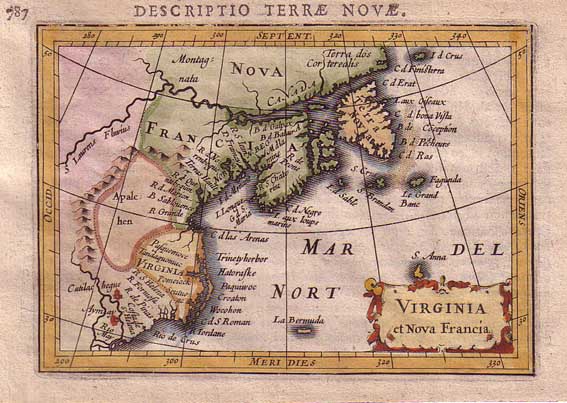
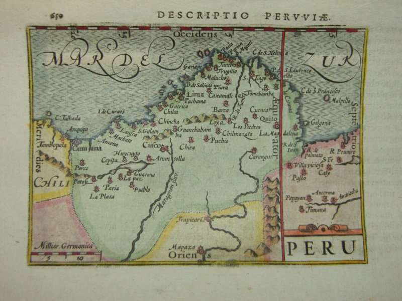
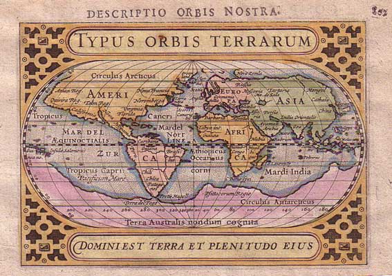
OTHER MINIATURE MAPS by Bertius, sized about 3.5" by 5" and
printed
1602-1618; most have modern hand coloring:
| *"Cambaia" [the Deccan]*
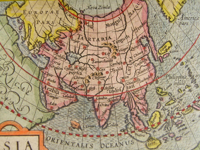
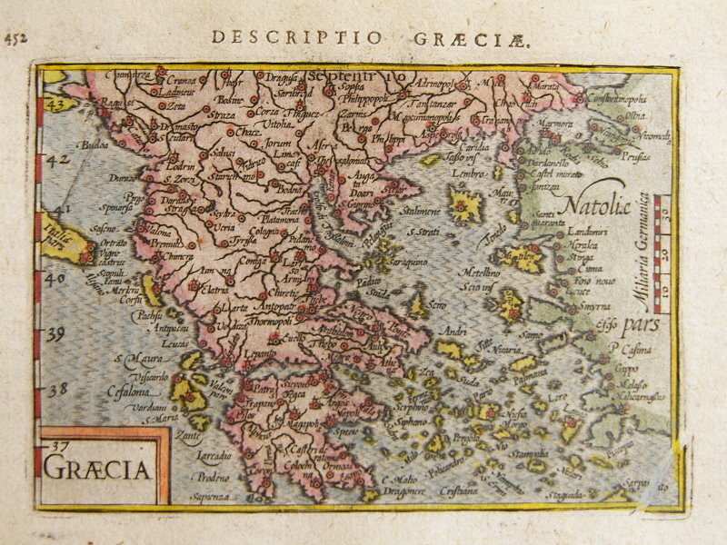
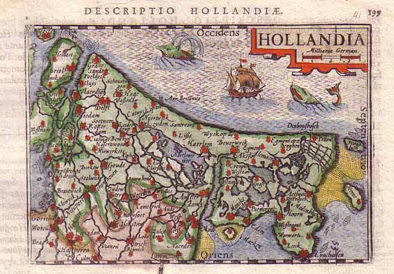
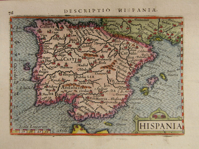
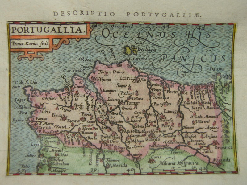
*the Malabar Coast* *Ceylon and the Maldives* *the Gulf of Bengal* *Burma* *the Maldives* *the Moluccas* *Borneo* *Malacca* *South, East, and Southeast Asia* *China* *Japan* *Asia* |
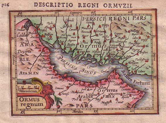
*the Persian Gulf*
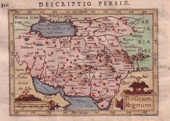
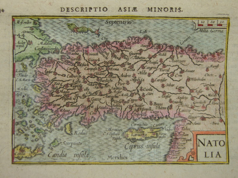
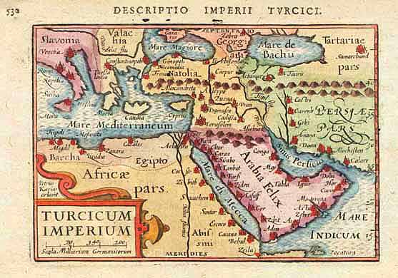
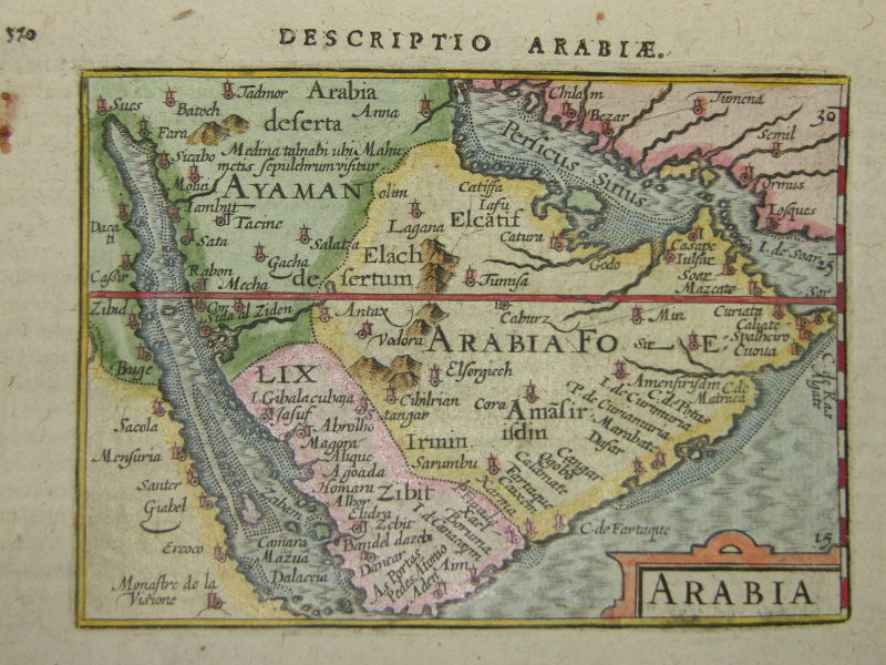
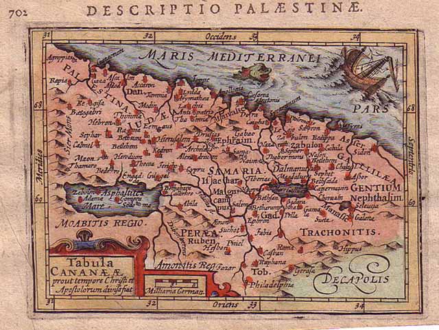
*Persia* *Anatolia* *the Ottoman empire* *Arabia* *the Holy Land* |
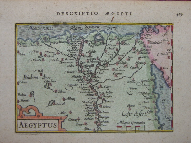
| *Egypt*
*Mozambique* *Barbaria* *Africa* *Cape Verde Islands* *Tunisia* *Southern Africa* |
*Greenland*
*Italy* *Greece* *Holland* *France* *Spain* *Portugal* *Andalusia* *England* |
| *Virginia*
*the West Indies* *Mexico* *South America* *Brazil* *Peru* |
*the World*
*the World in hemispheres* |
"Petrus Bertius was a historian whose text was embellished with maps from the foremost engravers of the late 1500's and early 1600's, including Pieter Van den Keere and Jocodus Hondius. These maps are beautiful miniatures and the 1616 edition published by J. Hondius Junior has been called "the finest set of miniature maps ever printed."
== Mughal index == Main map index == Glossary == FWP's main page
!["Cambaia" [the Deccan]](xdeccan.jpg)