ATLAS MAPS, 1660's-1670's
ATLAS MAPS, 1660's-1670's
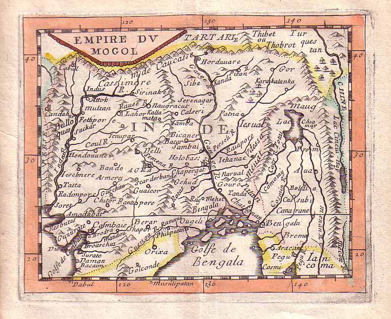
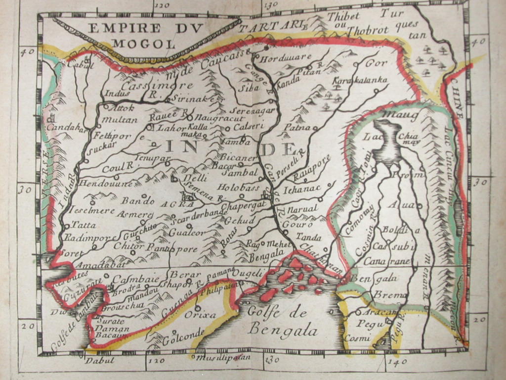
"Empire of the Mogol," a miniature map by Pierre Du Val from 'Le Monde ou la Géographie Universelle', Paris 1670; *the same map from the edition of 1663*; *the same map from the edition of 1679*
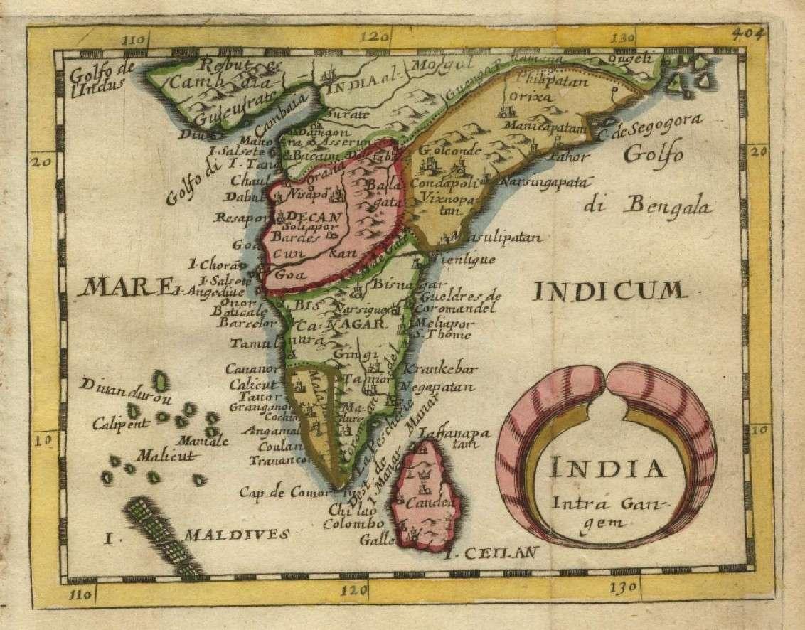
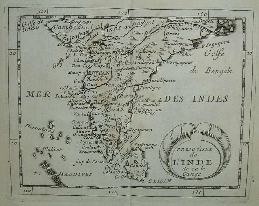
The Deccan and South India, from the 1679 version of the same atlas; *the same map from the 1663 edition*
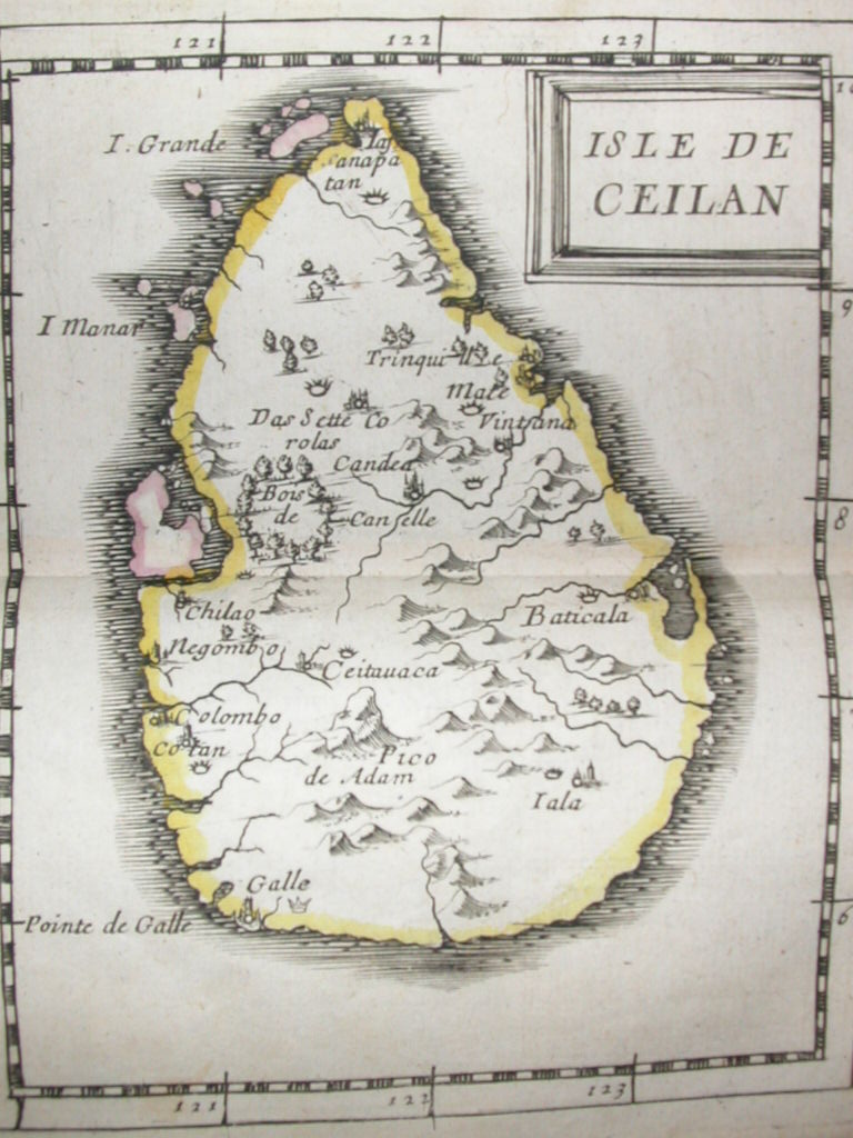
Ceylon, from the 1663 edition of the atlas
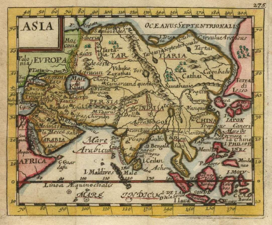
Asia, from the 1679 edition of the atlas
"Uncommon miniature maps of India, from Pierre Duval's "Geographiae Universalis" dated 1679. Following his "Cartes de geographie" in 1657, Pierre Duval published this smaller size atlas which contains a larger quantity of maps. The maps in the atlas appear to be derived from those of his uncle Nicolas Sanson. These maps have recent color. Size: 10 x 12 cm."
More miniature maps from "Le Monde ou la Géographie Universelle," Paris, 1663:
*the Maldives 1663*
*Southeast Asia 1663*
*the Moluccas 1663*
*Indonesia 1663*
*the Philippines 1663**Japan 1663*
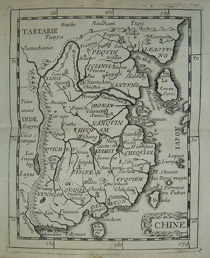
*China 1663*
*Tartary 1663*
*the Crimea 1663*
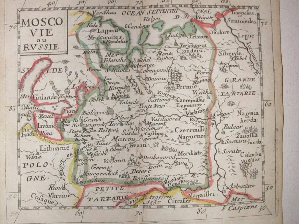
*Russia 1663*
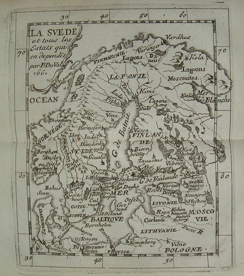
*Scandinavia 1663*
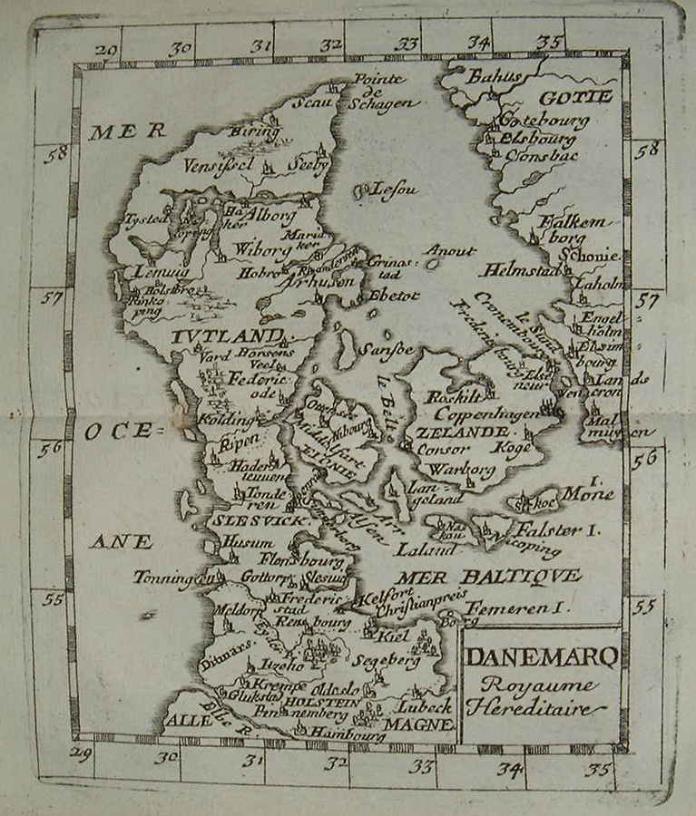
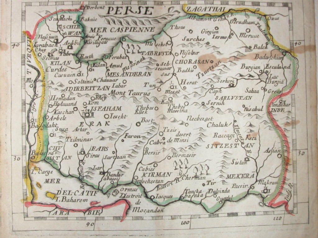
*Denmark 1663**Persia 1663*
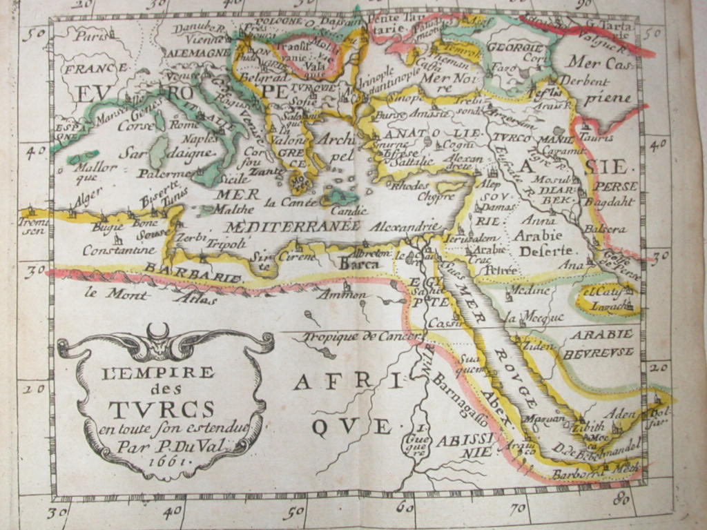
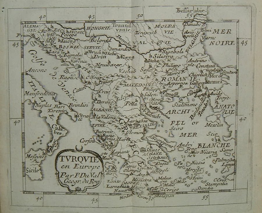
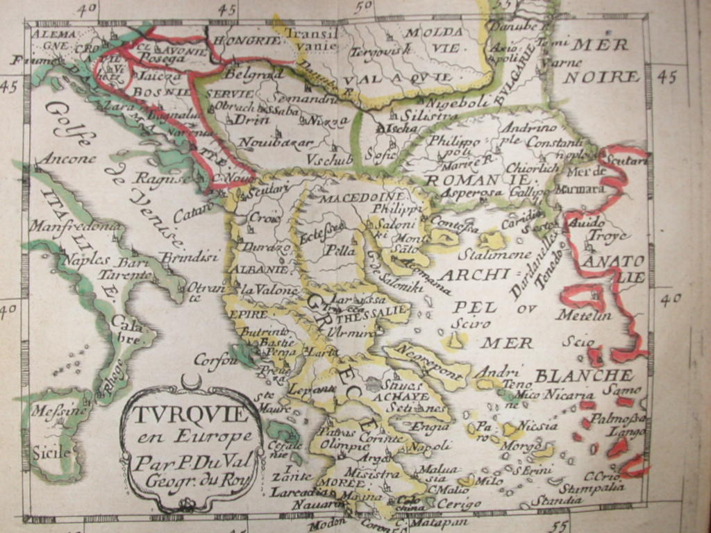
*Turkey, eastern empire 1663*
*European Turkey 1663**Benelux 1663*
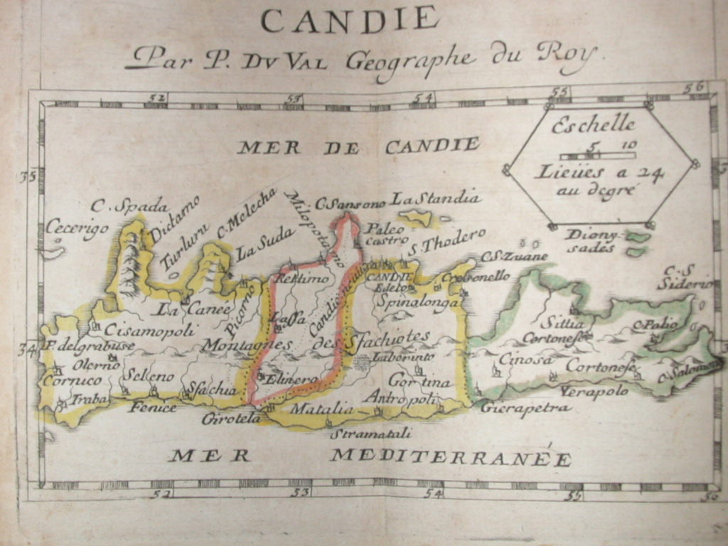
*Crete 1663*
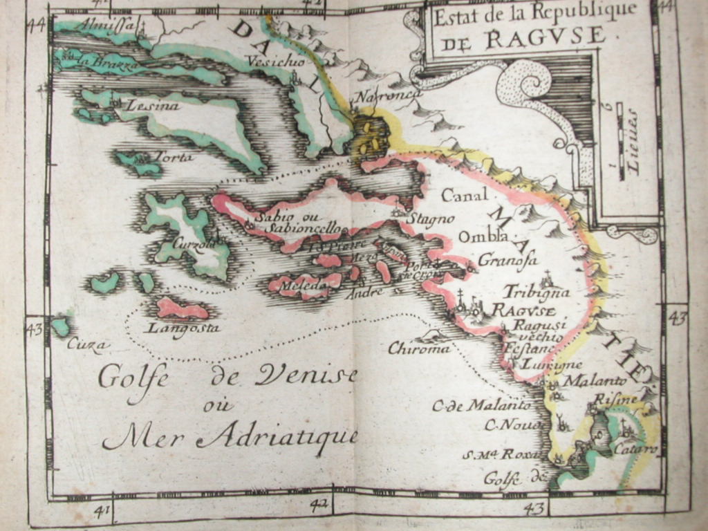
*Dalmatia, Croatia 1663*
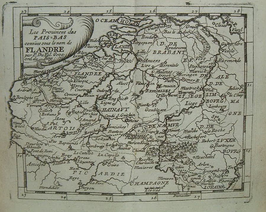
*Flanders 1663*
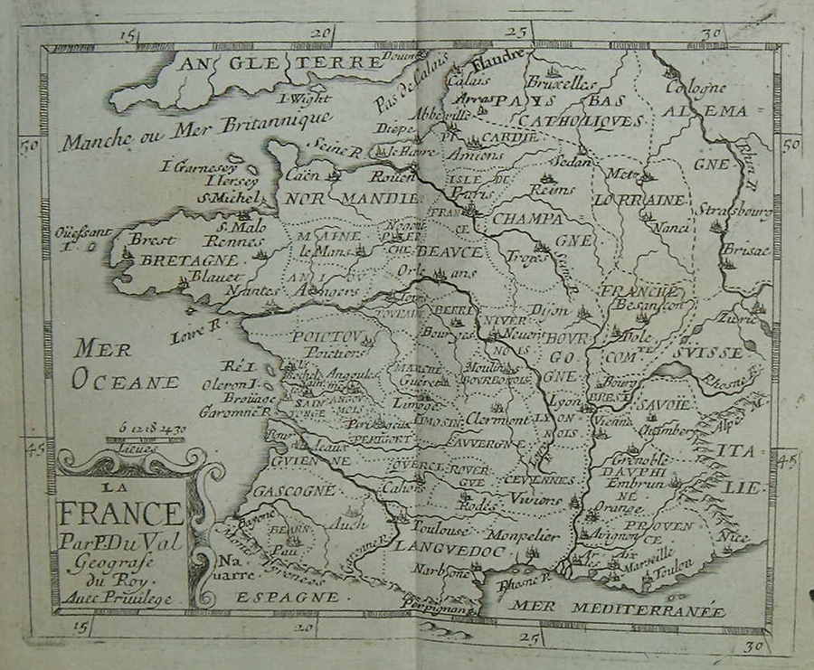
*France 1663*
*Franche Comte 1663*
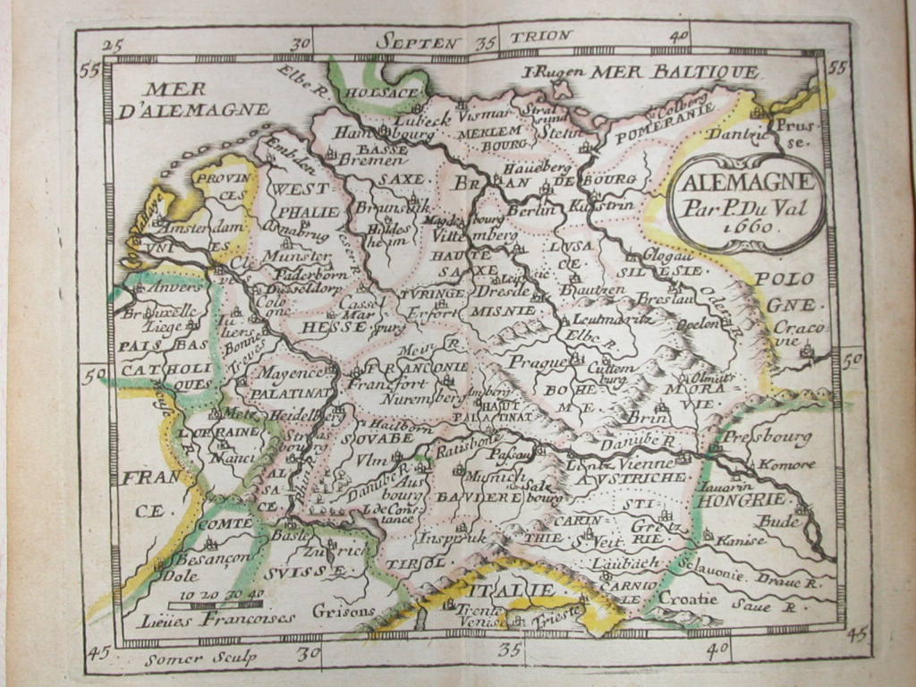
*Germany 1663*
*Greece, Balkans 1663*
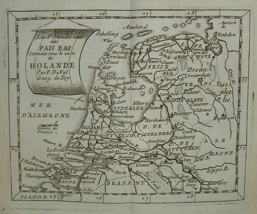
*Holland 1663*
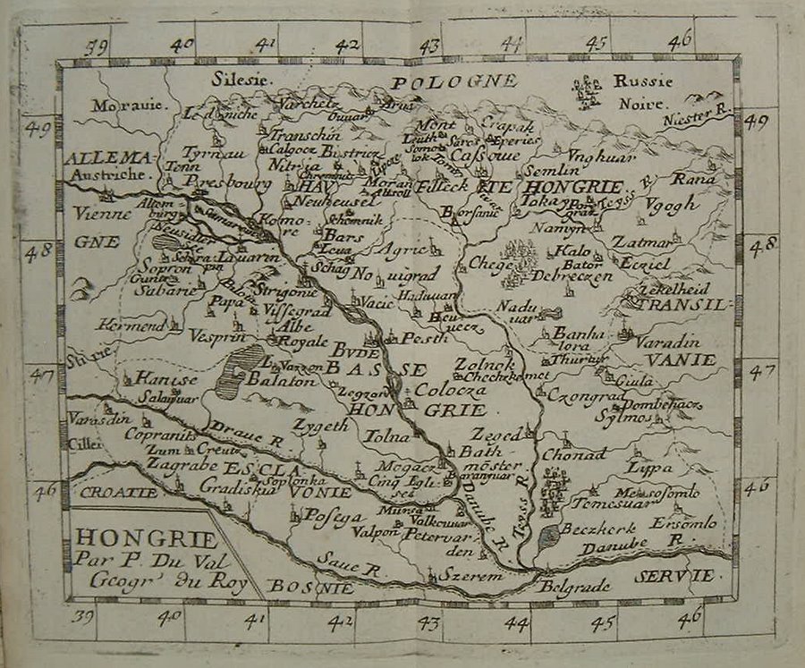
*Hungary 1663*
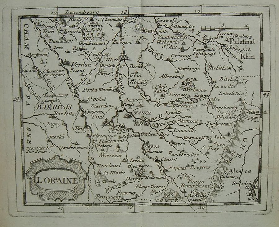
*Lorraine 1663*
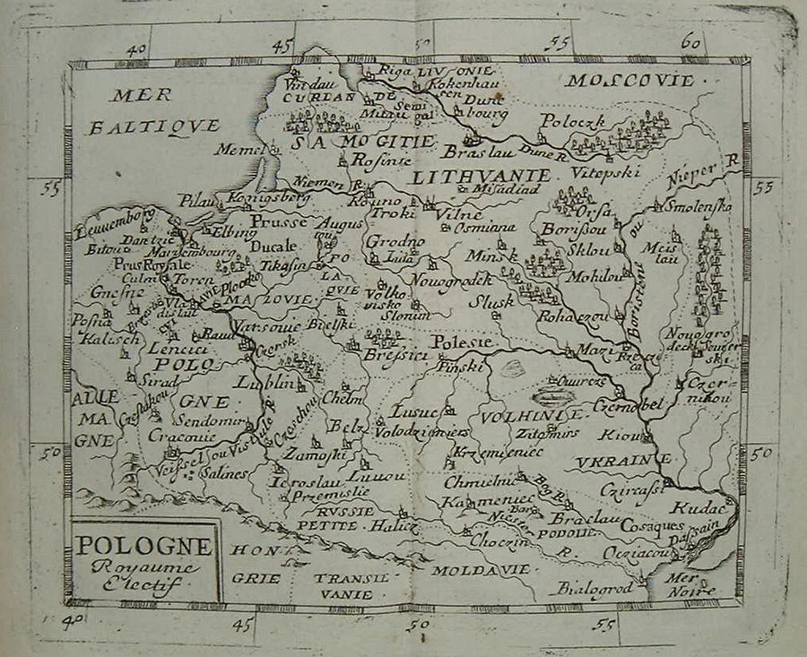
*Poland 1663*
*Switzerland 1663*
*Transylvania, Moldavia, Wallachia 1663**Portugal 1663*
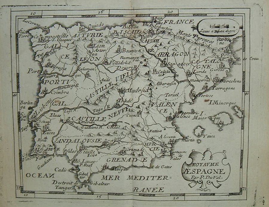
*Spain and Portugal 1663**British Isles 1663*
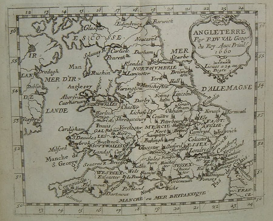
*England 1663*
*Scotland 1663*
*Ireland 1663*
== Mughal index == Main map index == Glossary == FWP's main page