Some Ptolemaic maps
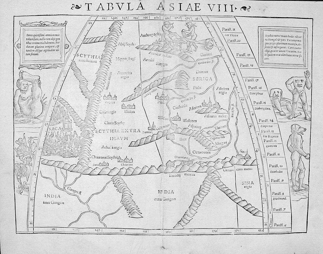
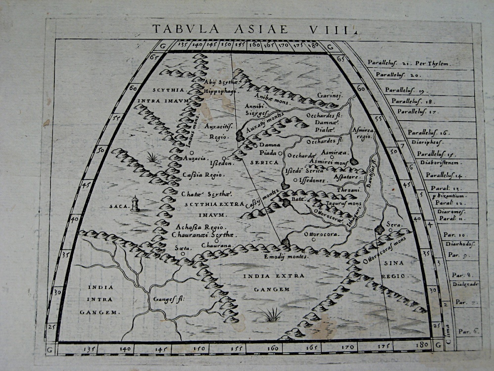
"Tabula Asiae VIII (Central Asia)" complete with monsters, by
Munster,
printed in Basle in 1545
Source:
http://www.raremaps.com/cgi-bin/map-builder.cgi?Asia+India+2615
(downloaded Oct. 1999)
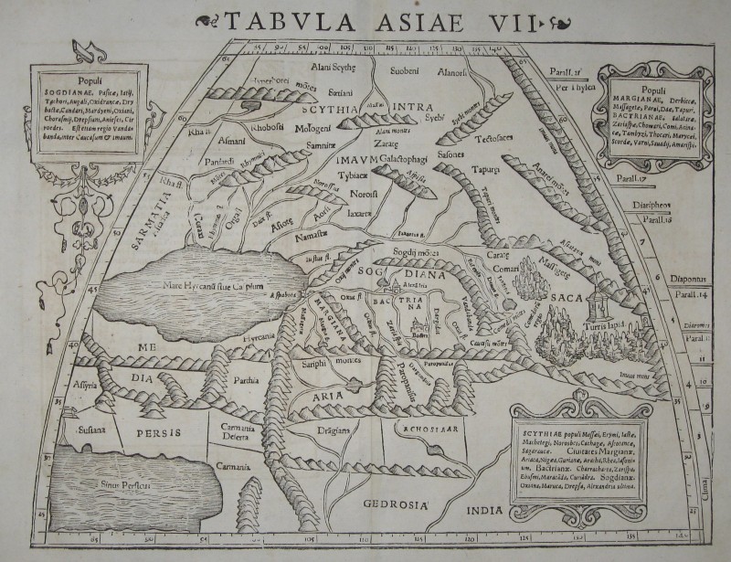
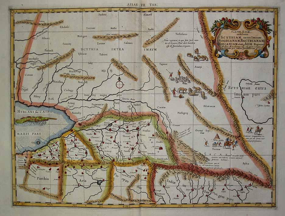
*"Tabula Asiae VIII (Central
Asia),"
from 'Geographiae Universae Tum Veteris Tum Novae
Absolutissium' by
Giovanni
Magini, 1620*
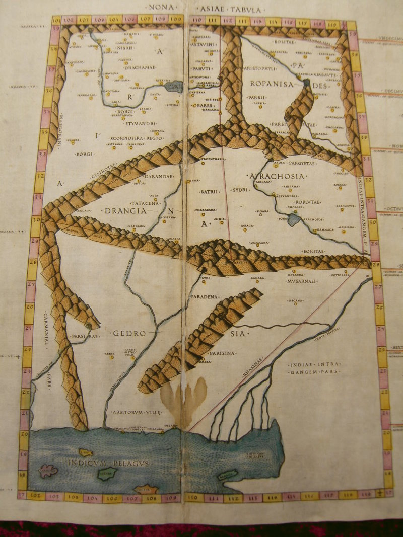
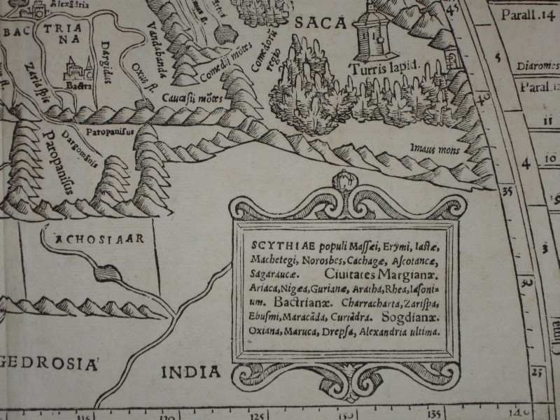
Tabula Asiae IX, a very early
woodcut
map published in Rome, c.1478-90: *northwest*;
*northeast*; *southwest*;
*southeast*
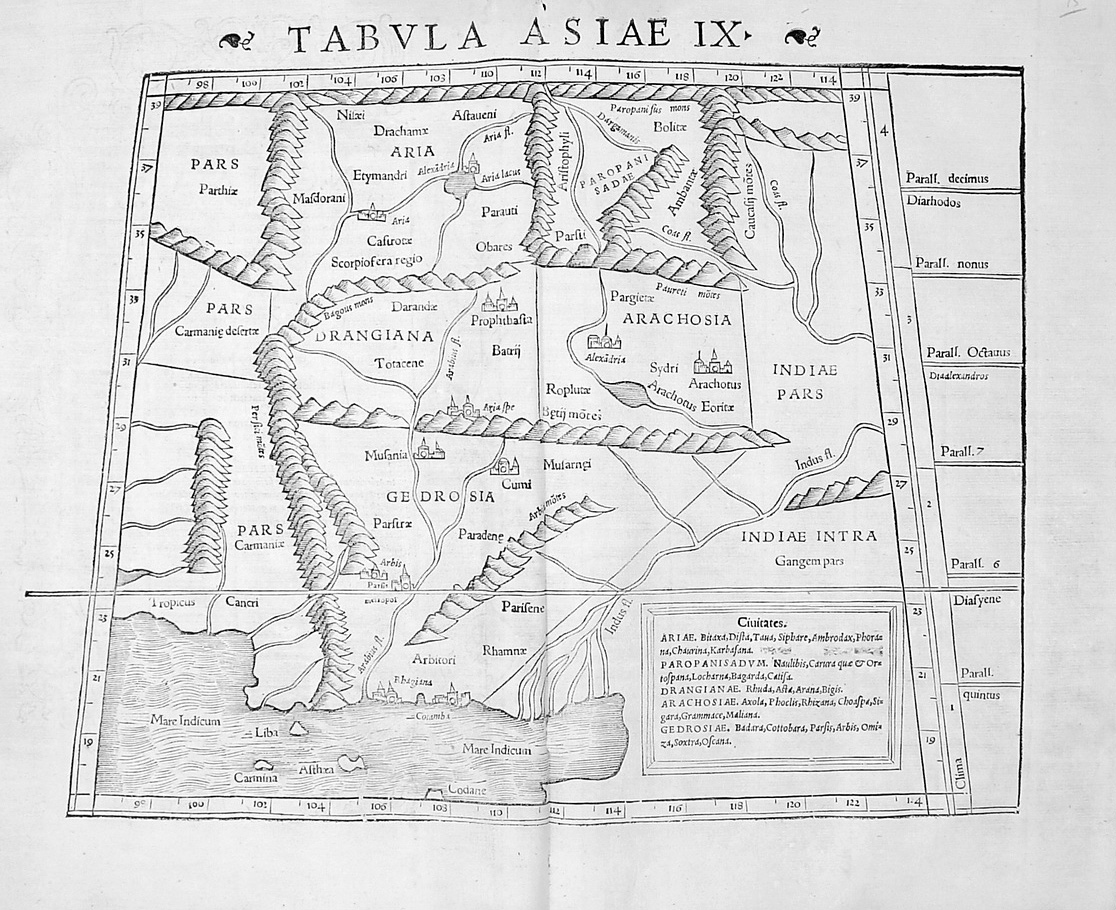
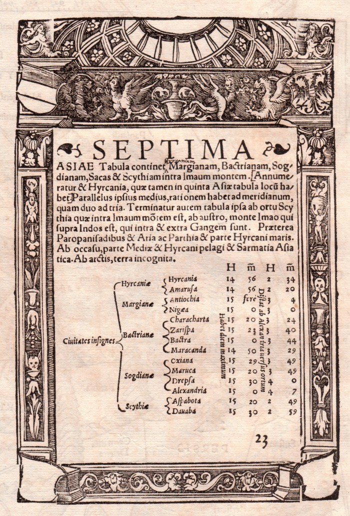
"Tabula
Asiae IX (Afghanistan/Pakistan)," a map
from Munster's edition of Ptolemy's 'Geographia', 1540
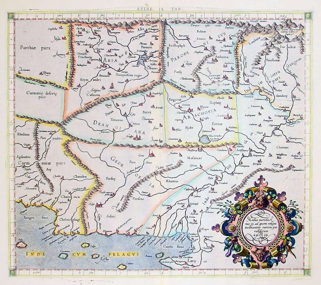
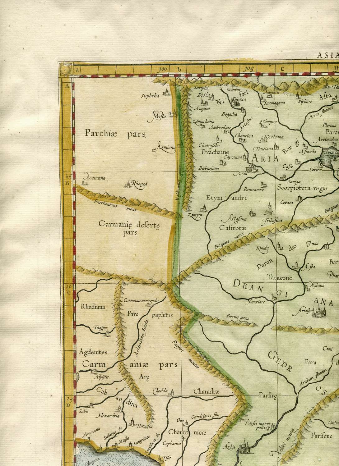
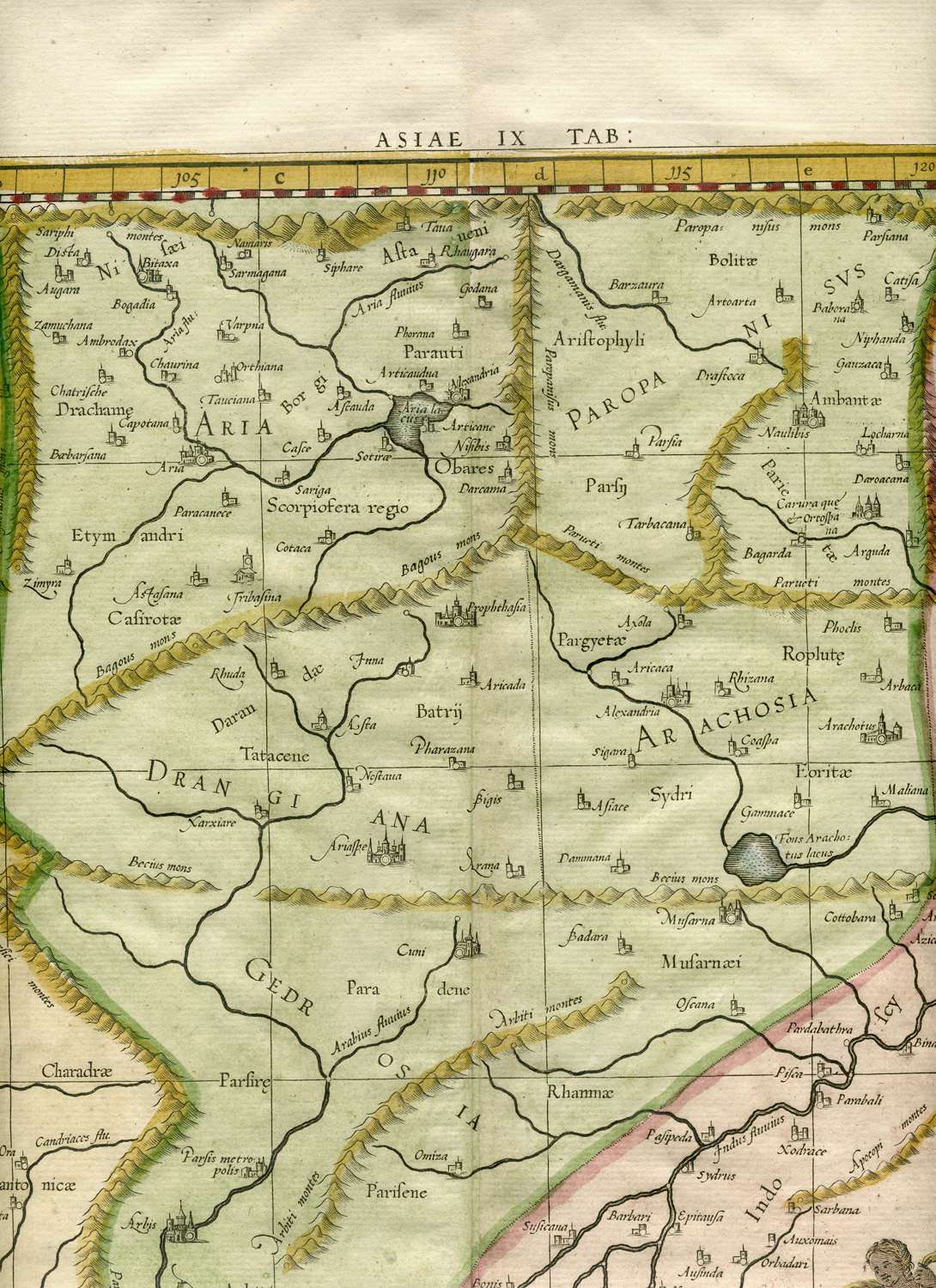
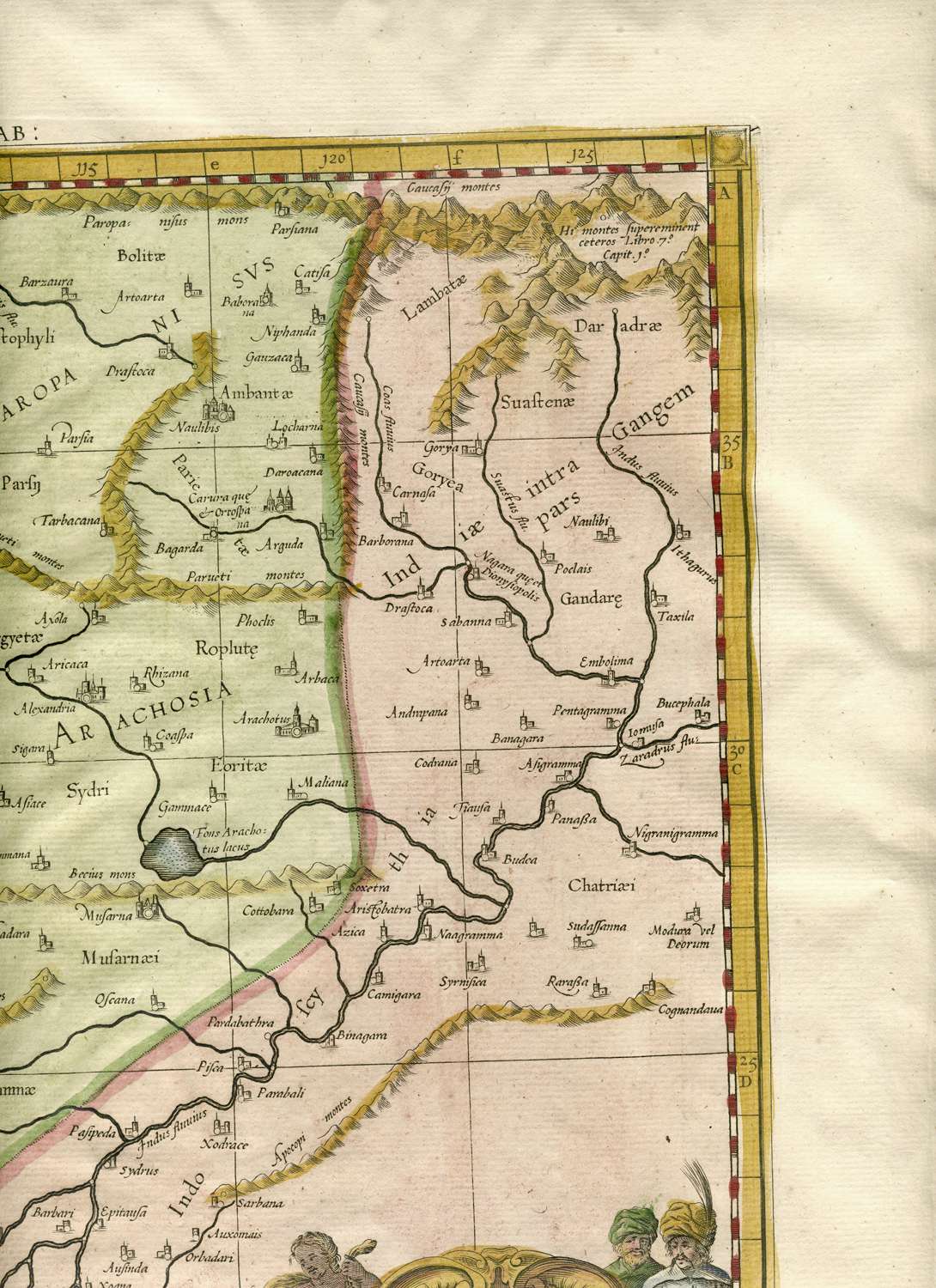
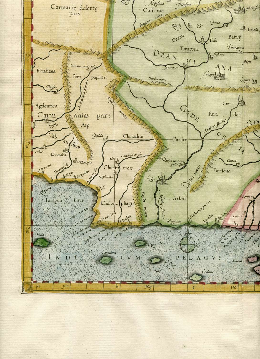
"Tabula Asiae IX" (Afghanistan/Pakistan), from Mercator's
Ptolemaic 'Geographia'
atlas, 1584; with modern hand coloring; another, later reprint
version of the
same
map, from 1730: *Tabula Asiae IX*:
*northwest*;
*north central*; *northeast*; *southwest*;
*southeast*
Tabula Asiae X, an extremely early
woodcut version by Nicolaus Germanus, printed in Ulm, 1482, with
original hand coloring: *northwest*;
*northeast*; *southwest*;
*southeast*
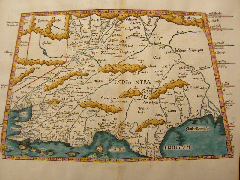
Tabula Asiae X (India Intra
Gangem),
from "Claudius Ptolemaeus Geographicae..."
by Gruninger, for
J.
Koberger, Strasbourg, 1525, with modern hand coloring: *northwest*; *northeast*;
*southwest*; *southeast*; *North
India*; *the Persian Gulf coast*;
*the top half of the accompanying text
page*;
*the bottom half*
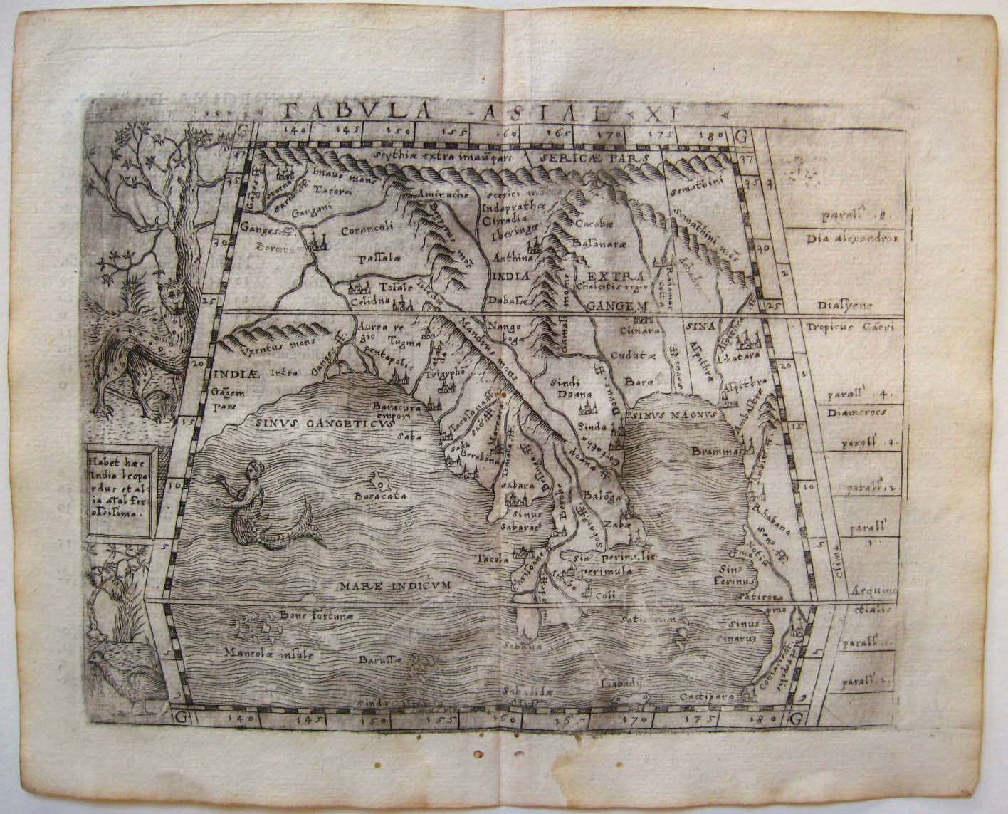
"Tabula Asiae XI" (Bengal and Southeast Asia), from Giacomo
Gastaldi,
'Geografia di Claudio Ptolemeo Alexandrino' (Venice, Pedrezano,
1548)
*A small and jumbled Ptolemaic map of
India, 1500's*
== Mughal index == Main
map index == Glossary
== FWP's main page
