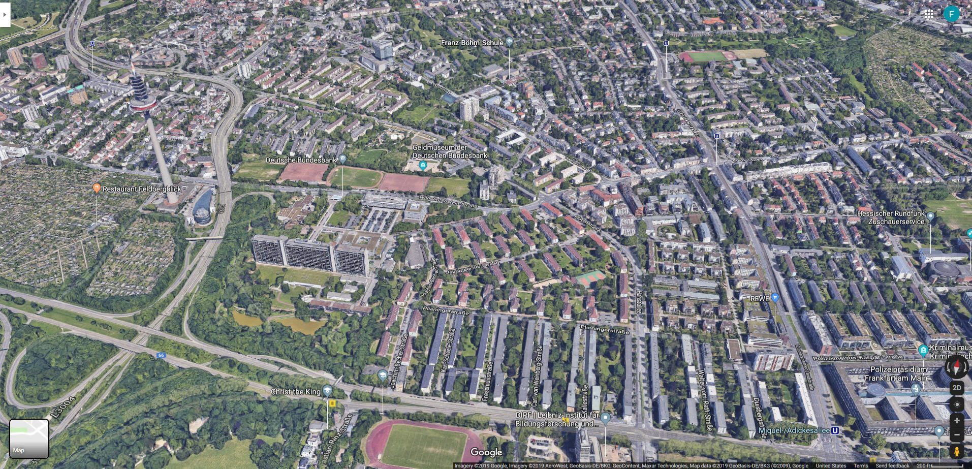
Frankfurt 2019, Google Aerial View, looking a bit more north. High school
athletic field at bottom, HiCoG above it, and then towards the upper left,
the Platenstraße housing area, still intact after all these years, just
above the grass-and-earth strip and to the right of the curving road, bisected
by Platenstraße itself. At far left, a colony of those little weekend
gardening allotments — Kleingärten, Schrebergärten — so popular
in Germany; I'm glad to see they still have them. Not shown here, but I
believe that the Hügel and/or Von Steuben housing areas are also still
standing, beyond Raimundstraße... rows of long three-story buildings
separated by alternating parking lots and "back yards", like Platenstraße.
You can look for yourself in Google Maps.