
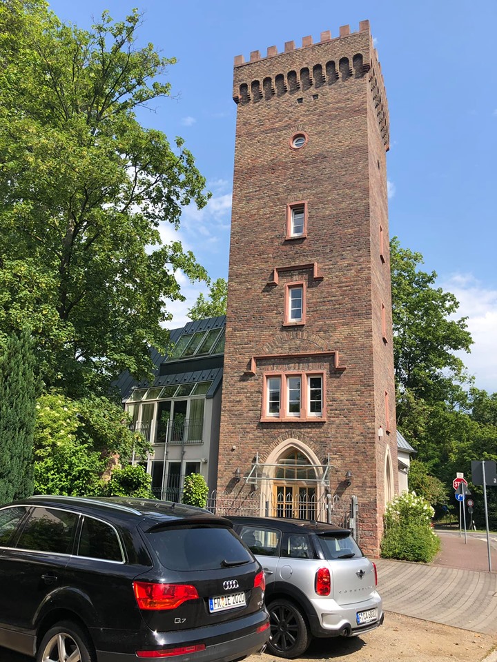
Frankfurt 2019, Google Aerial View: Frankfurt High School (now
Phillipp-Holzmann Schule) and its athletic field, left, then Miquel Allee
and American HiCoG housing on the right. The
cross streets are Siolistraße (bottom left) and at the far end of the
school, Sebastian-Rinz-Straße (see the Rapunzelturm?... far end of athletic field,
next to the street). In 1960-61 Pam lived in the building just right of
where Miquel Allee splits at upper right (it wasn't a divided highway in
those days, just regular street).