From "Calecut Nuova Tavola" by Girolamo Ruscelli, Venice, 1574
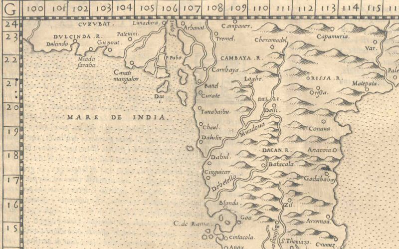
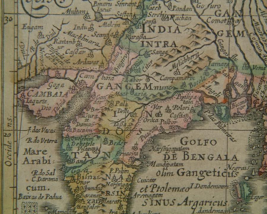
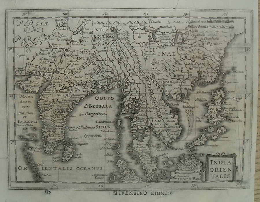
From Gerard Mercator's "Atlas sive Cosmographicae Meditationes de Fabrica mundi et fabricati figura. De novo multis in locis emendatus novisque tabulis auctus Studio Judoci Hondii" (Johannis Cloppenburgh, Amsterdam, 1630); *the whole map*
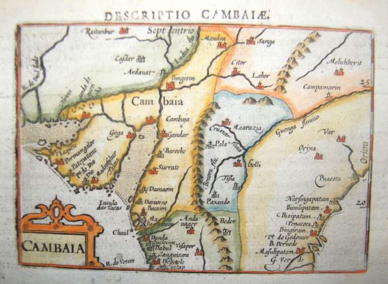
From the Atlas Minor by Mercator and Hondius, Amsterdam, 1634
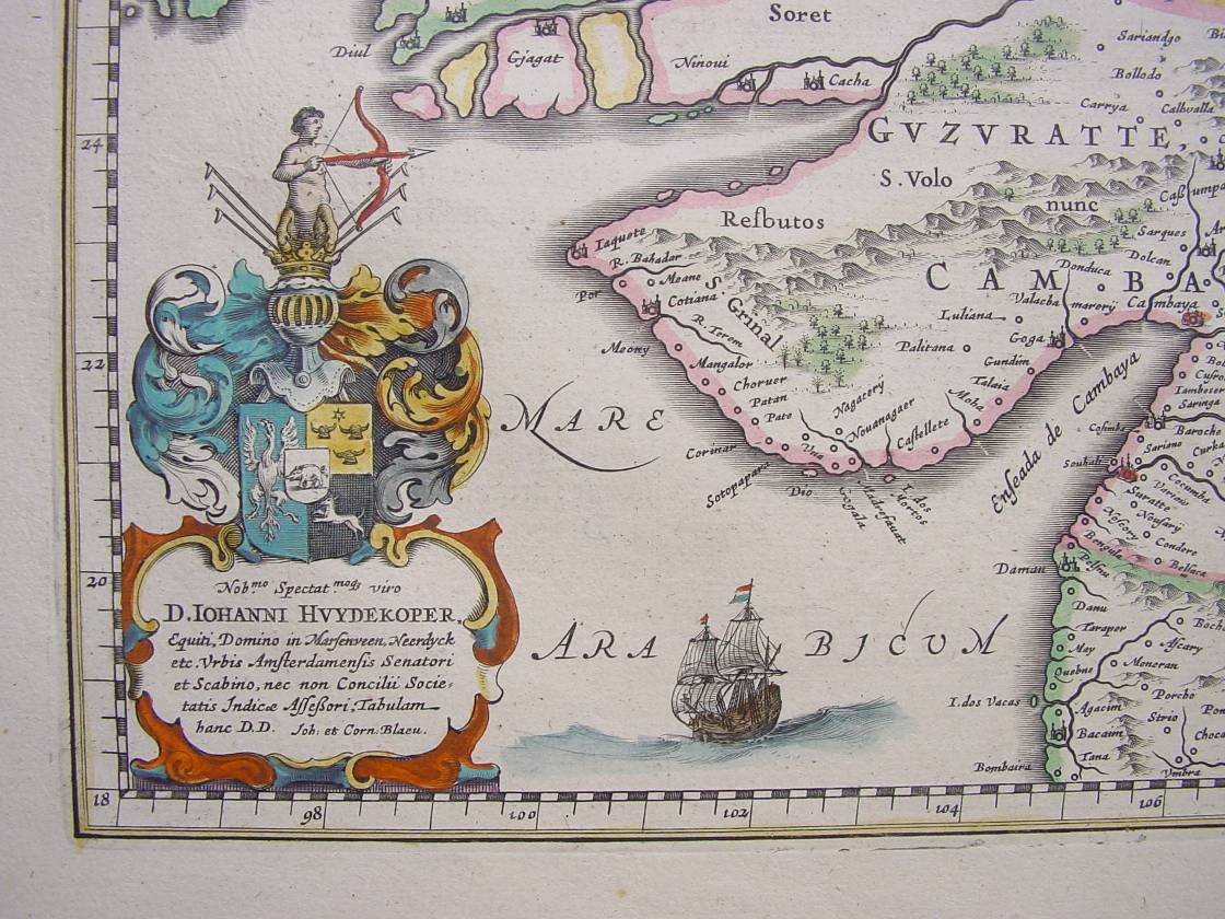
From William Blaeu's famous map, 1638; *another view, a bit more to the north and west*
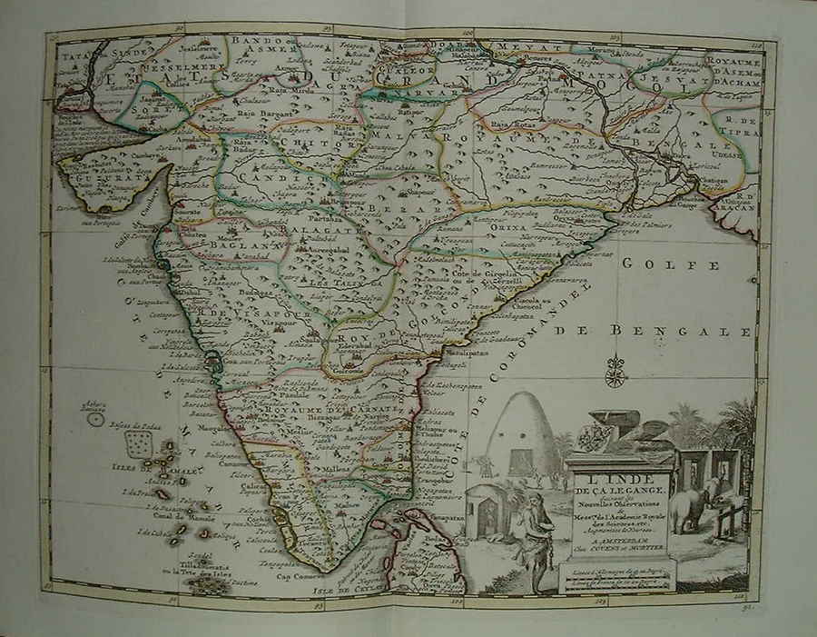
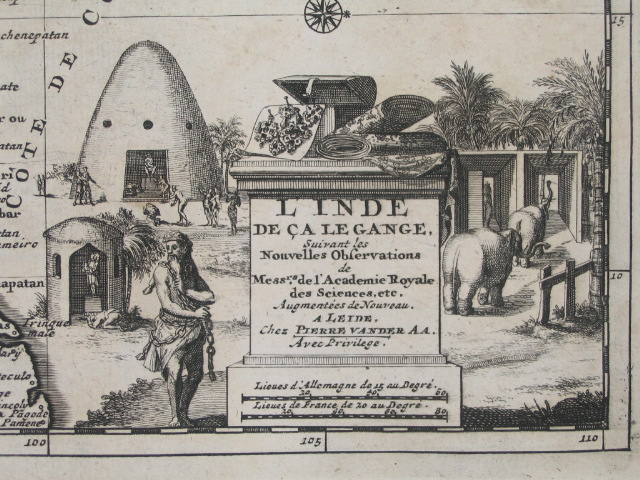
From Pieter Vander Aa's "Nouvel Atlas," Amsterdam, 1730; *the whole map*; *the cartouche*
*From a map of the Malabar and Coromandel Coasts by Guillaume de l'Isle, Amsterdam, 1733*
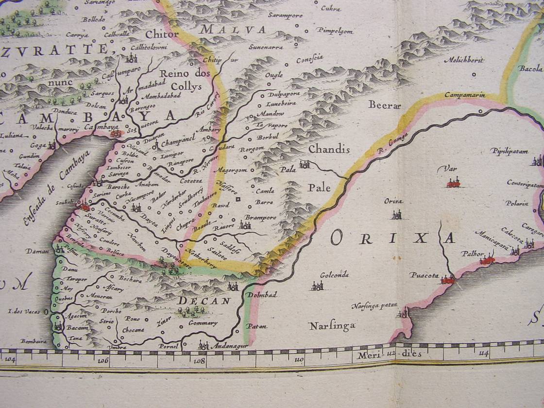
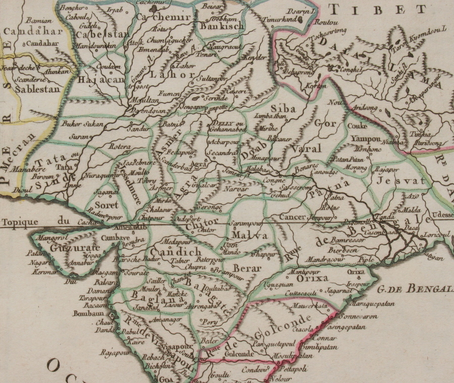
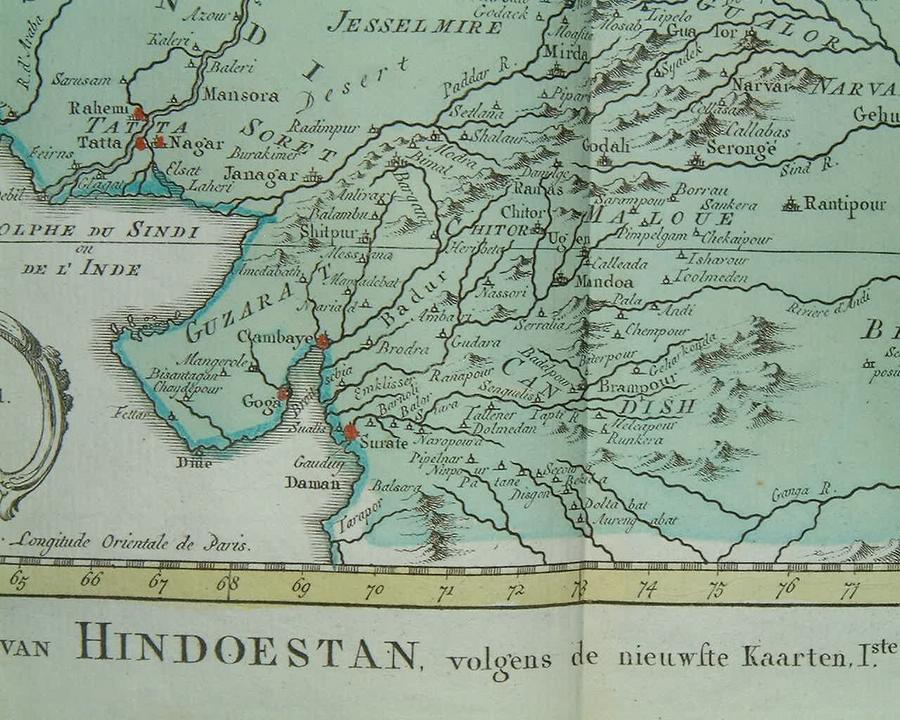
From a map by Isaac Tirion, from "Nieuwe en Beknopte Hand-Atlas," Amsterdam, 1744
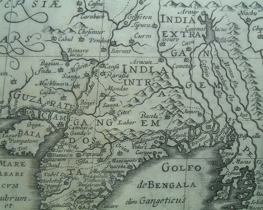
From an atlas by De Vaugondy, Paris, 1749
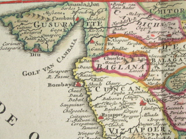
A closer look from a map by Bellin, 1752, with original hand coloring, including red dots for key ports
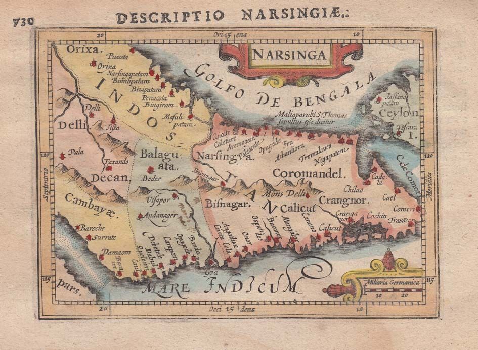
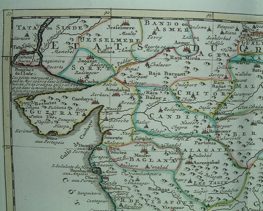
From a map by George Rollos, from A New Geographical Dictionary, published by J. Coote, London, 1760
*From "Smollett's History of England", published by Richard Baldwin, 1761*
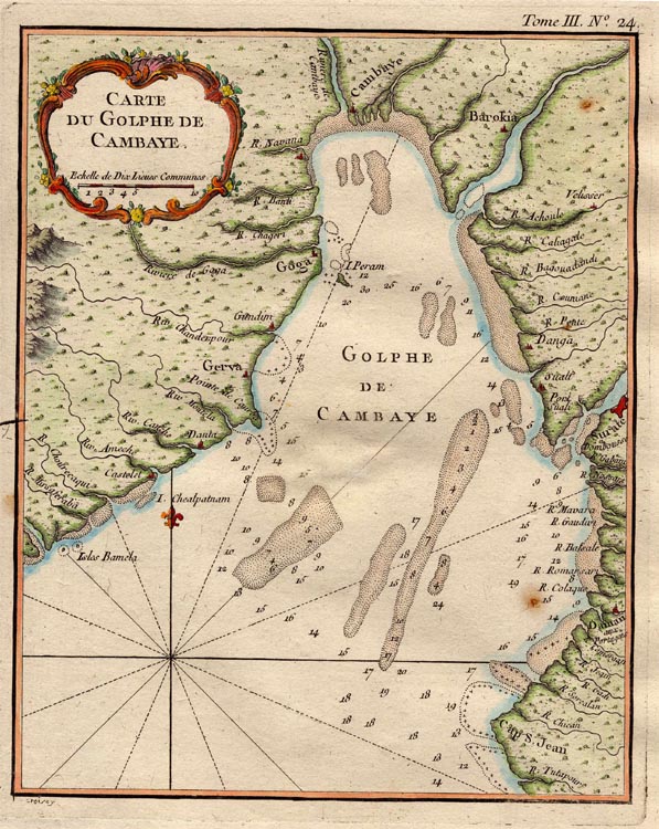
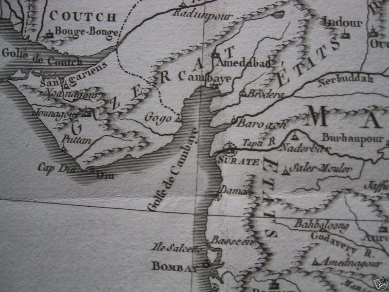
*Bellin's map of the Gulf of Cambay, a copperplate engraving from 1761*
*From a map by Louis Brion de la Tour, from 'Histoire Universelle depuis le Commencement du Monde', c.1780*; and a *closer view* from another map in the same set
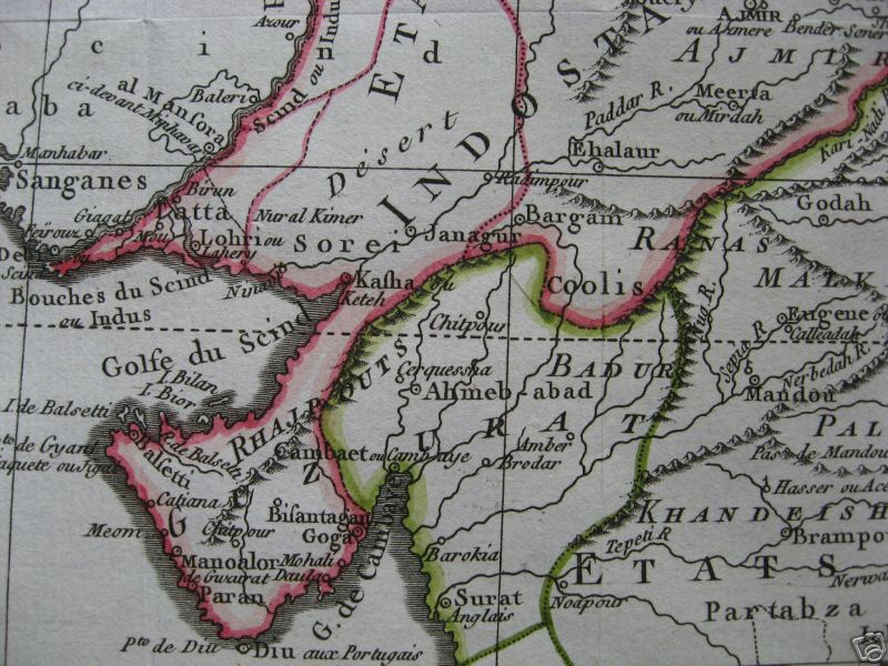
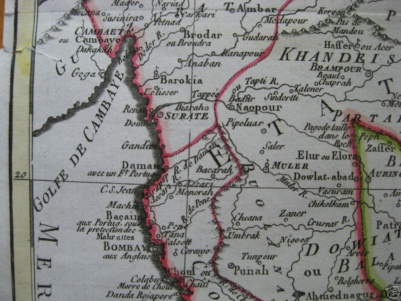
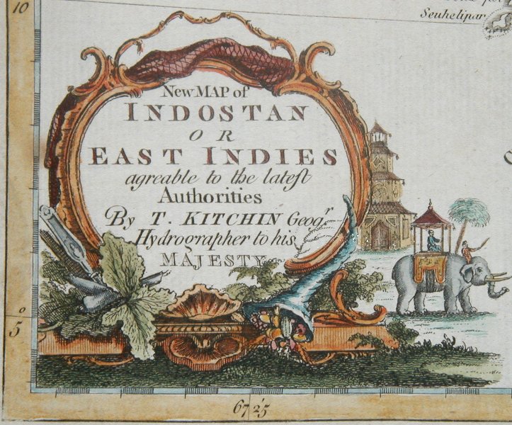
*From a map by Thomas Kitchin, 1782; *the cartouche*
*From a map by Robert de Vaugondy (1688-1766), published 1783*
*From "L'Inde," by Jean-Denis Barbie du Bocage, c.1790*
*From a map by Gilles Robert de Vaugondy, 1793*; *a more inland Deccan view*
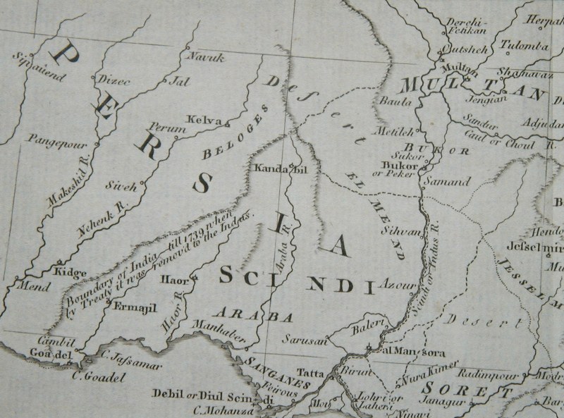
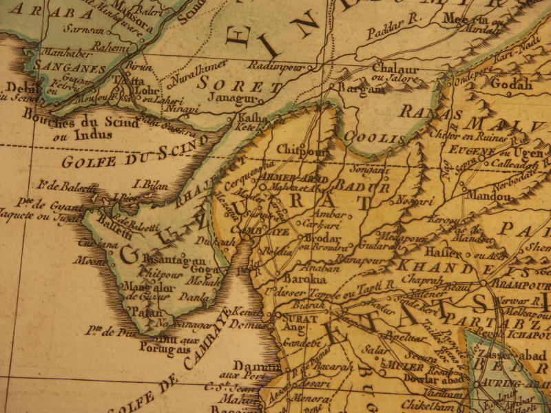
*From a map by J. C. Russell, from 'Ostell's New General Atlas', London, 1823*
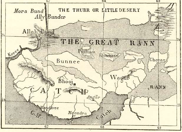
The Rann of Cutch, in a map from the 1880's
*MAPS c.1500-1750* -- *MAPS c.1750-1900* -- *MAPS*