INDIA AND SOUTHEAST ASIA, 1760's on
INDIA AND SOUTHEAST ASIA, 1760's on
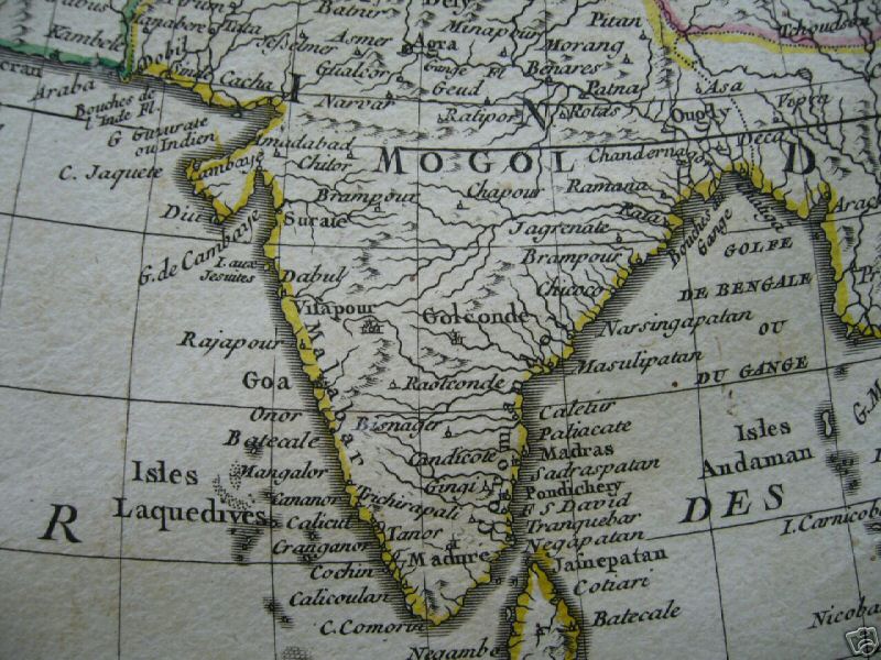
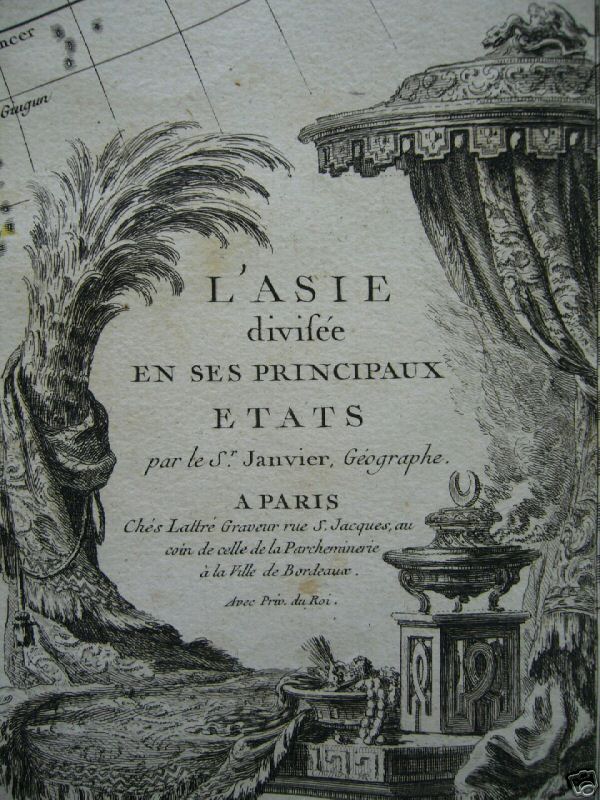
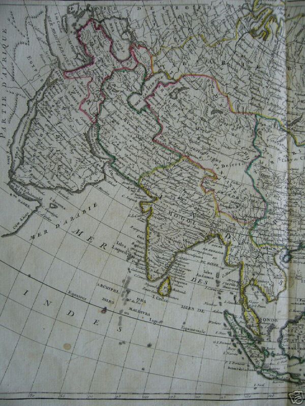
From "Asia divided into its principal states," a map by R. Jean Janvier and Jean Lattré, c.1760; *the cartouche*; *the whole map*; *South Asia in its regional setting*
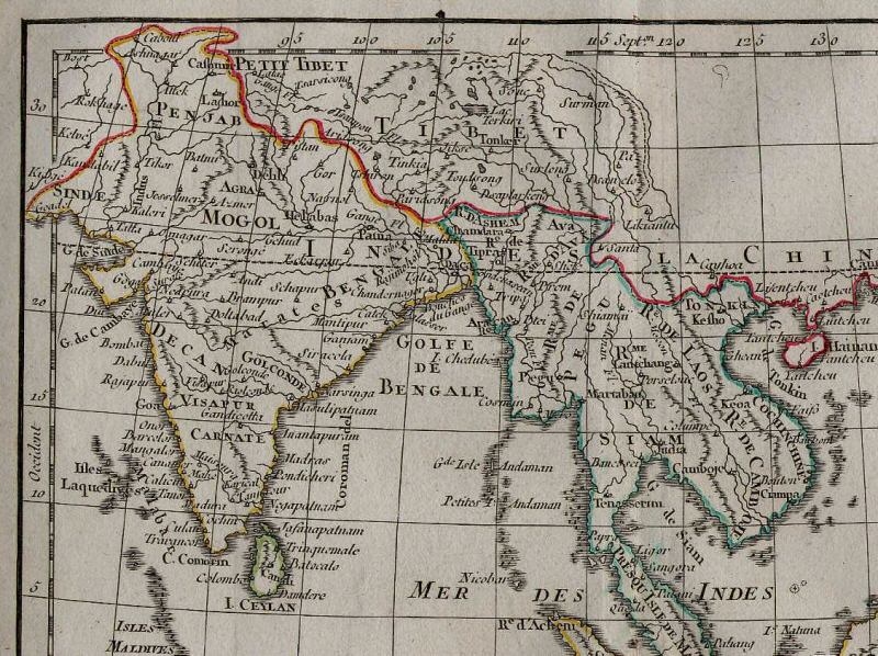
South and Southeast Asia, from a miniature atlas map by Lattré, 1783; *the whole map of South and Southeast Asia* -- *the map's table of regions*
"LES INDES ORIENTALES ET LEUR ARCHIPEL by Lattré, 1783. This map was part of Lattré's Petit atlas moderne, a compilation of maps after Bonne and Janvier. Copperplate engraving, original hand-coloring. Image size: 7" x 9 3/4" (180 x 250 mm)."
== Later 1700's index == Colonial index == Main map index == Glossary == FWP's main page ==