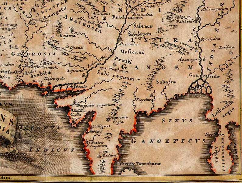
Ancient South Asia, from "Oriens, Persia, India" by Christophorus Cellarius, 1732; *a version from 1725*
"ORIENS, PERSIA, INDIA etc.; by Christophorus Cellarius (C. Keller), probably from the decorative 1732 edition of Geographia Antiqua, containing maps illustrated with scenes of History, Mythology or Religion. Folding map, copperplate engraving and hand coloring with decorative vignette representing the Decollation of Saint John the Baptist and the Crucifixion in the background. It shows Asia from Arabia to India extra Gangem. Image size: 8" by 12" (205 x 305 mm) plus margins.
THE WHOLE MAP:

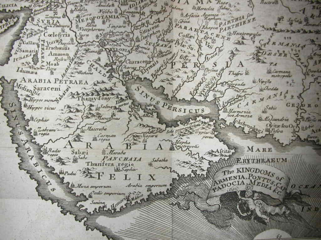
*"Les royaumes
d'Armenie,"
another
Cellarius map of ancient West and South Asia, 1725*
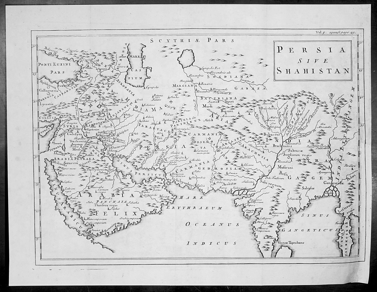
*"Persia Sive Shahistan," a
Cellarius
map of ancient West and South Asia, published in 1748*
*Ancient Arabia, from a Cellarius map,
1748*
"Christophorus Cellarius was a geographer and professor in Halle near Leipzig in Germany. His most notable publication was the 'Geographia Antiqua' first issued in 1686. For inspiration, along with contemporary updates, it referred also to the maps of the Ancient World from Ptolemy's Atlas. His atlas proved to be very popular and was re-issued many times in the 18th century."
== 1700's index == Early index == Main map index == Glossary == FWP's main page