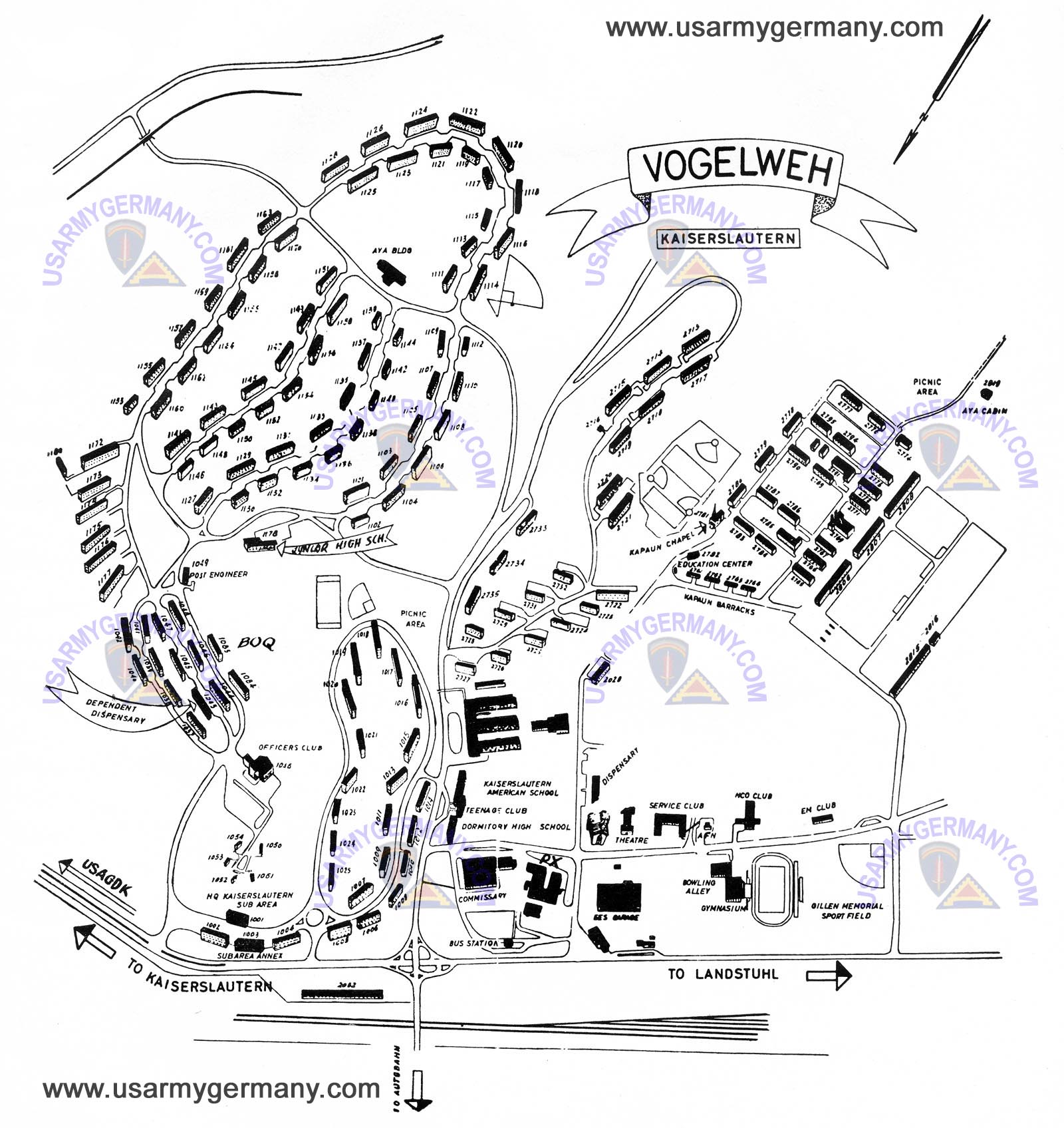
Vogelweh Map early 1960s
| ◀ ▲ |

Image: Life and Living Magazine, Kaiserlautern, 1961 or 62,
also via via USArmyGerman.com.
Kapaun Kaserne and the adjoining family housing area and shopping center,
early 1960s. Here the junior high school Pam attended is clearly visible at
left center, and the configuation of the Kapaun Barracks (center right) is
exactly as I remember. Note that this map is approximately upside down
with respect to north.