*"Calecut Nuova Tavola" by Girolamo Ruscelli, Venice, 1574*
*"Guzurat Narsinga," by Sebastian Munster, from the Cosmographia, 1588 (with modern hand coloring)*
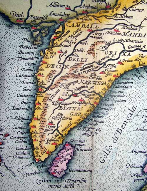
From Ortelius's "Theatrum Orbis Terrarum," Latin edition of 1603 (with later hand coloring)

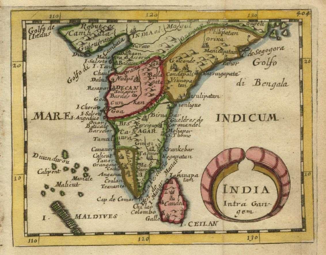
From Mercator's "India Orientalis," Amsterdam, 1636 [engraved 1606]
A miniature map of the Malabar and Coromandel coasts, from
Pierre
Duval's "Geographiae Universalis," 1679
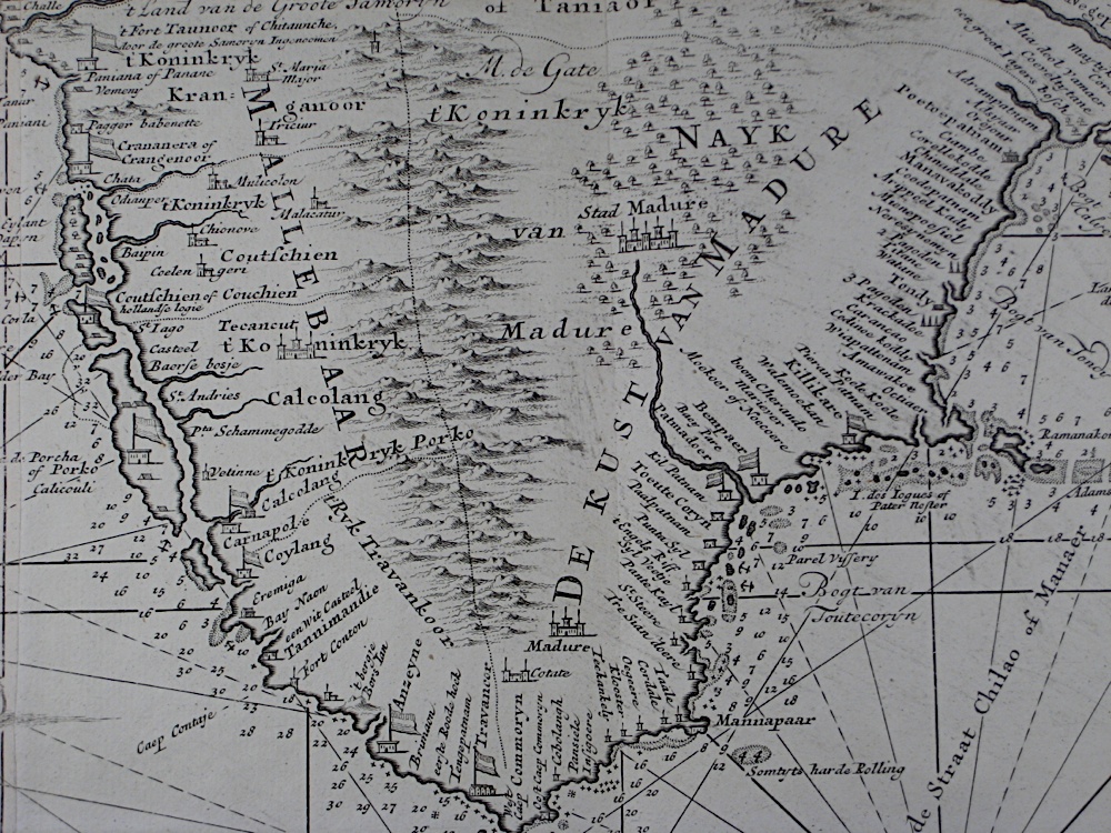
From "Nova tabula terrarum Cucan, Canara, Malabaria, Madura & Coramandelia, cum parte septroniali insulae Ceylon, in Mari Indico Orientali" by Gerard van Keulen, Amsterdam, c.1704
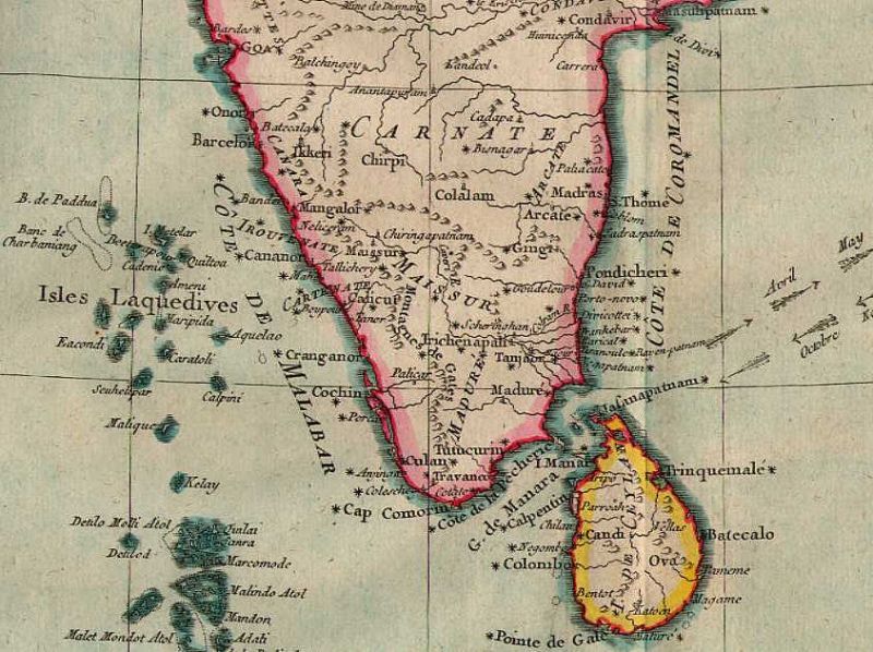
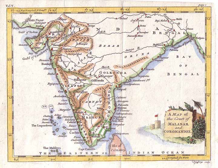
From a map by Kitchin, 1761, from A New General and Universal Atlas by Andrew Dury (Laurie & Whittle and Bowles & Carver, London)
*A miniature map by Thomas Jeffreys from Smollett's 'Voyages' (London, 1762)*
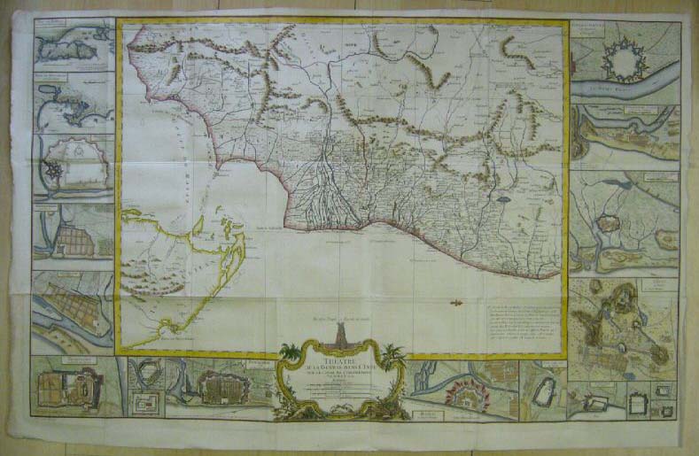
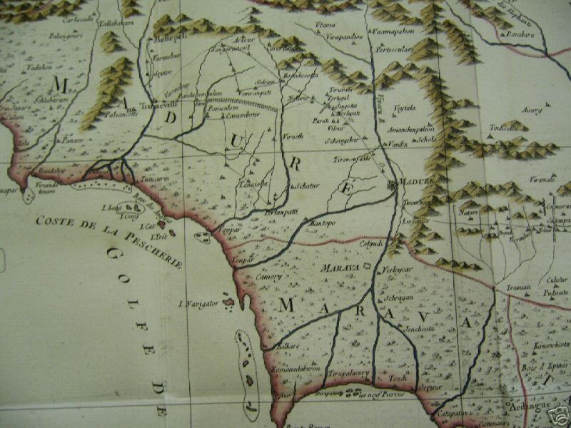
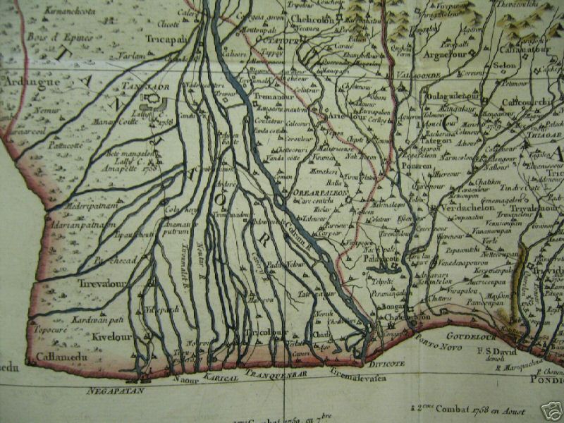
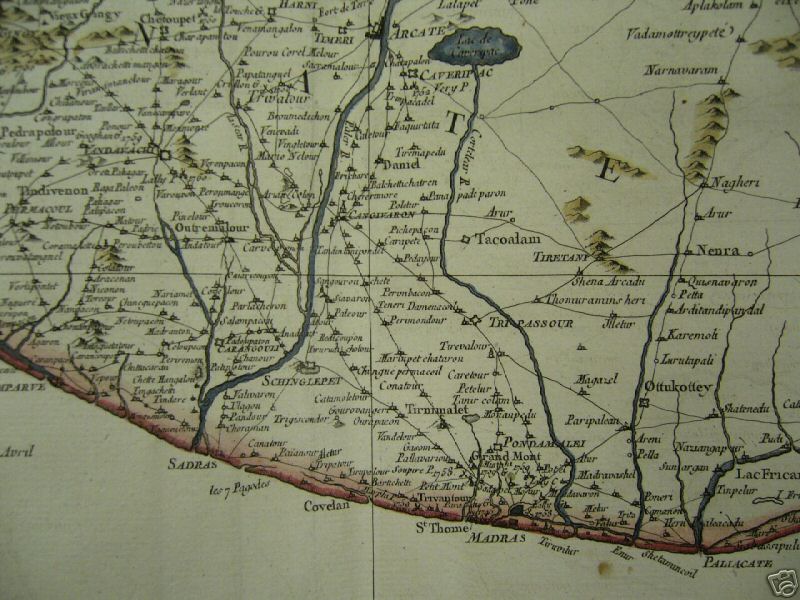
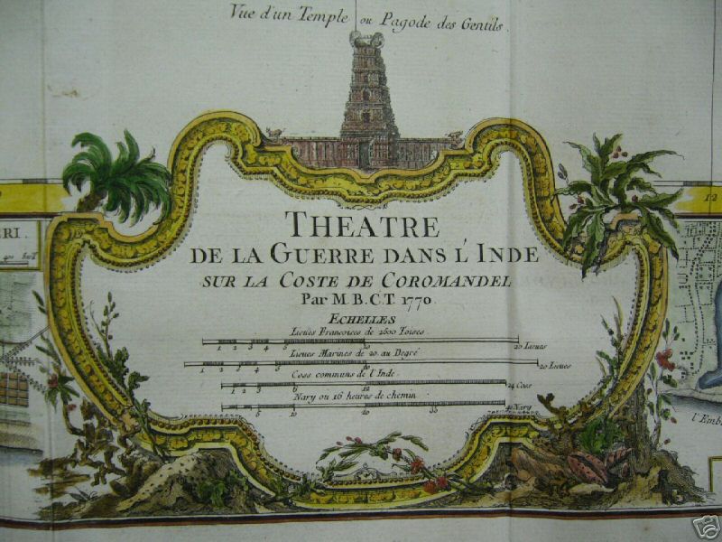
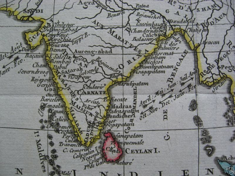
A map by P. Croisey, Paris, 1770, with north at the right: *left part*; *central part*; *right part*; *cartouche*
Source: ebay, Dec. 2007
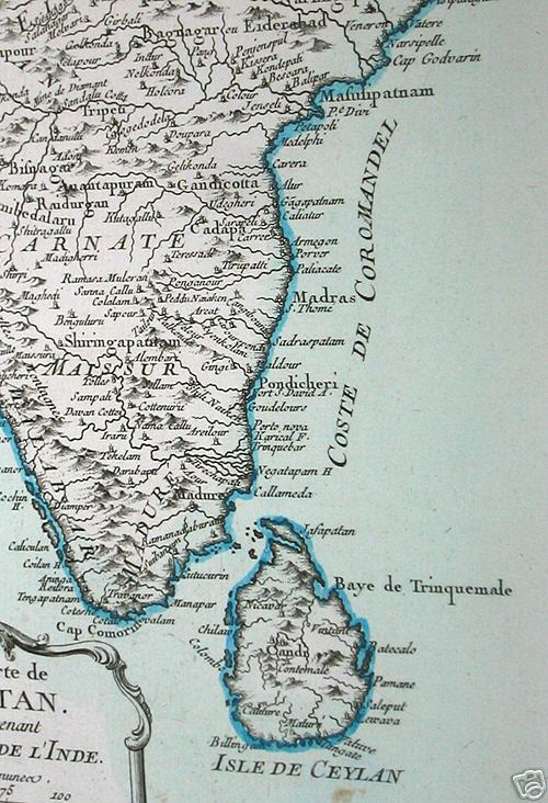
A copper-plate engraved map from Rigobert Bonne's "Atlas Portatif," Paris, 1780-81
The Coromandel Coast and Ceylon, by an unidentified cartographer, c.1790
*The Palk Strait and the Gulf of Manaar, from a map by SDUK, 1831*
*From James Wyld's "Atlas of the World," 1853*
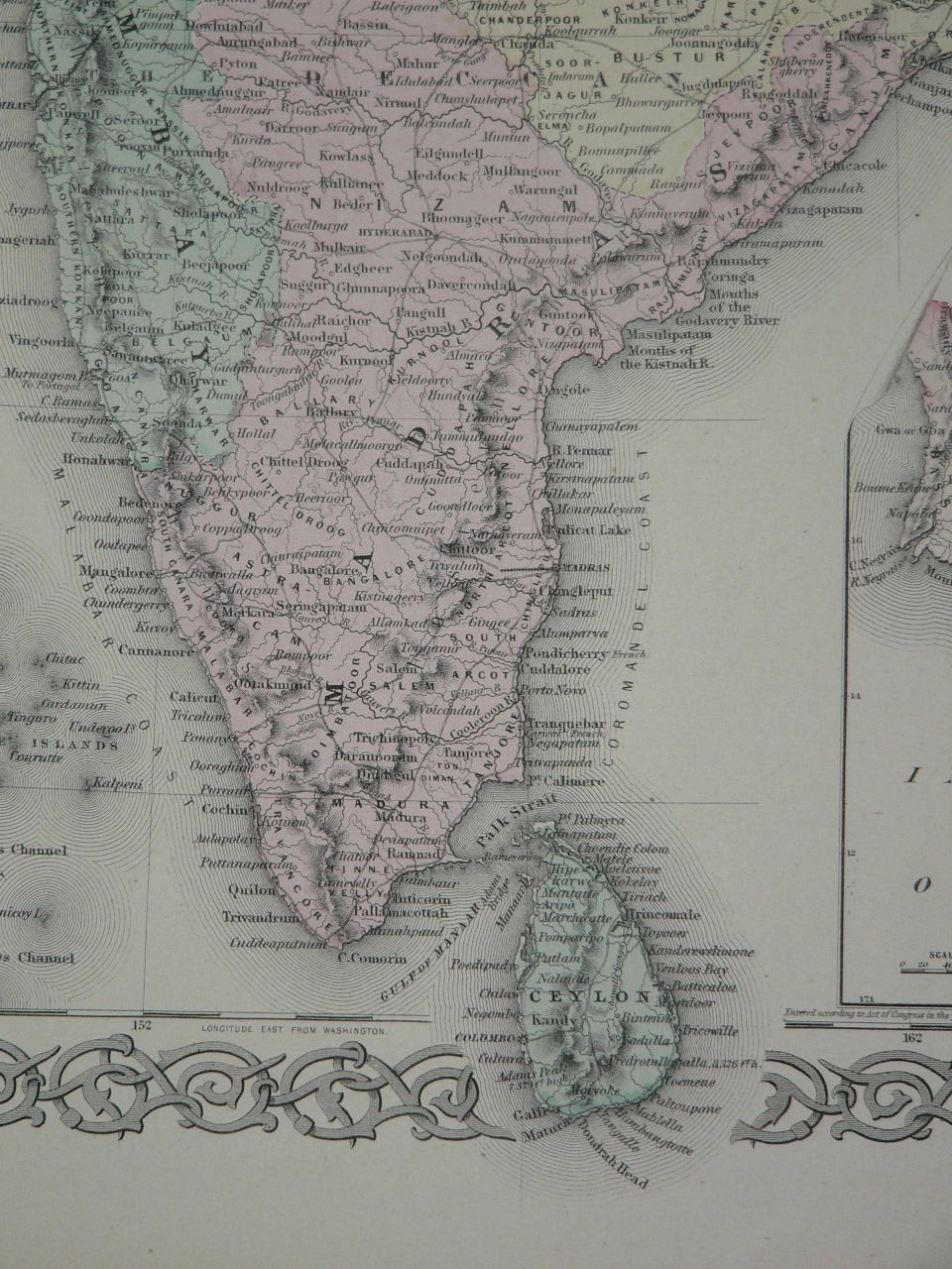
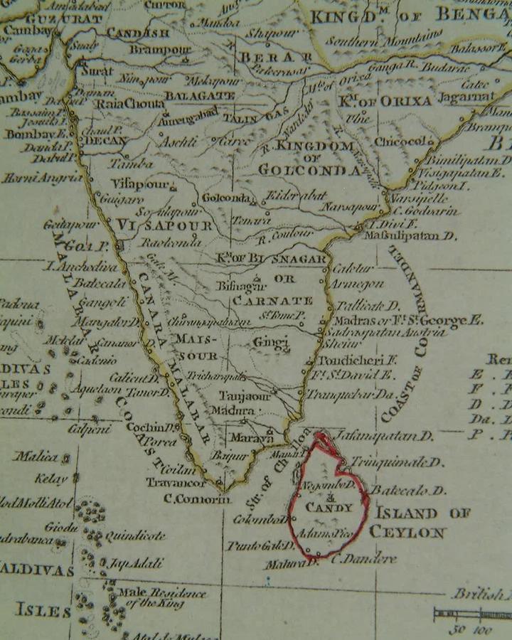
From a map by J. H. Coulton, published in Coulton's Atlas of the World, 1856
*MAPS c.1500-1750* -- *MAPS c.1750-1900* -- *MAPS*
== Indian Routes index == Indian Routes sitemap == Glossary == FWP's main page ==